The best walks and hikes around Ligares
4.3
(42)
197
hikers
10
hikes
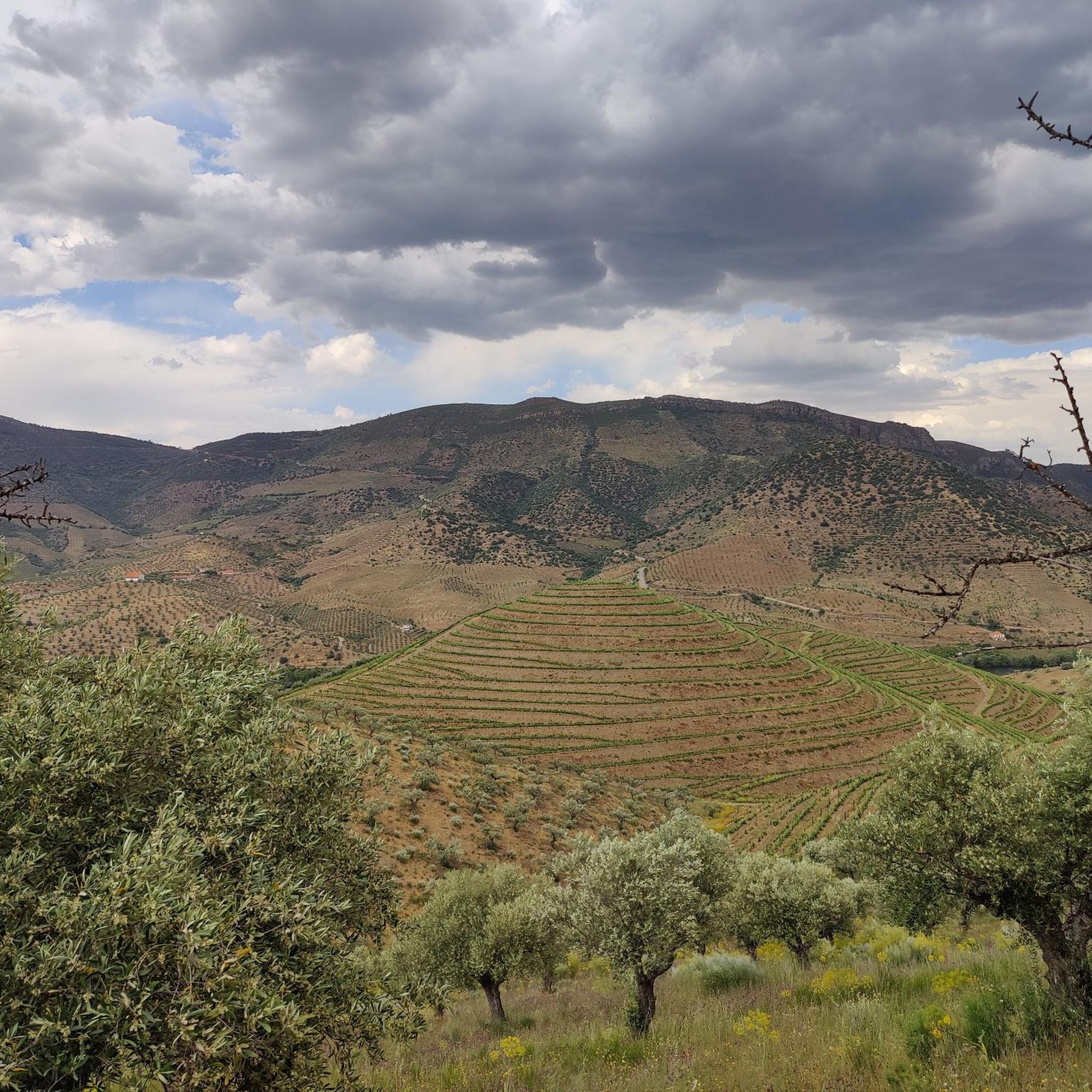
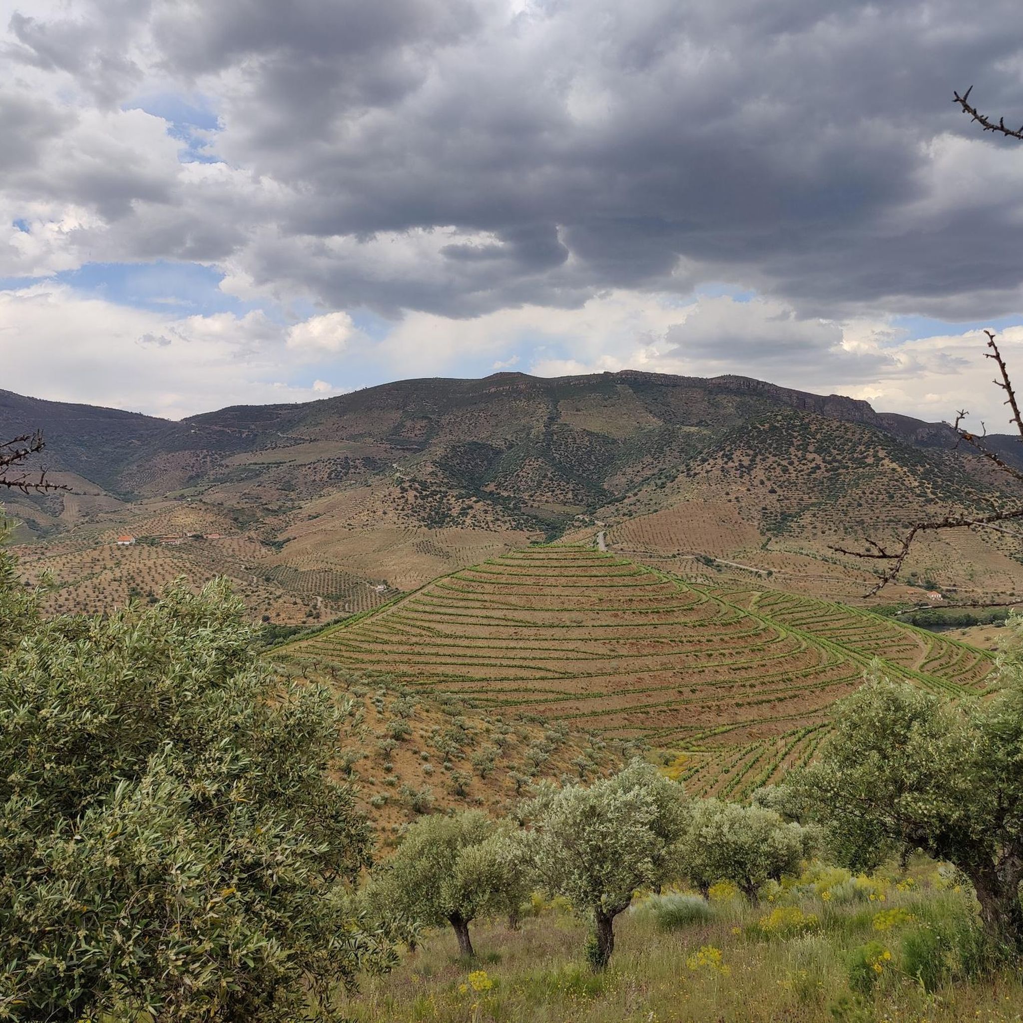
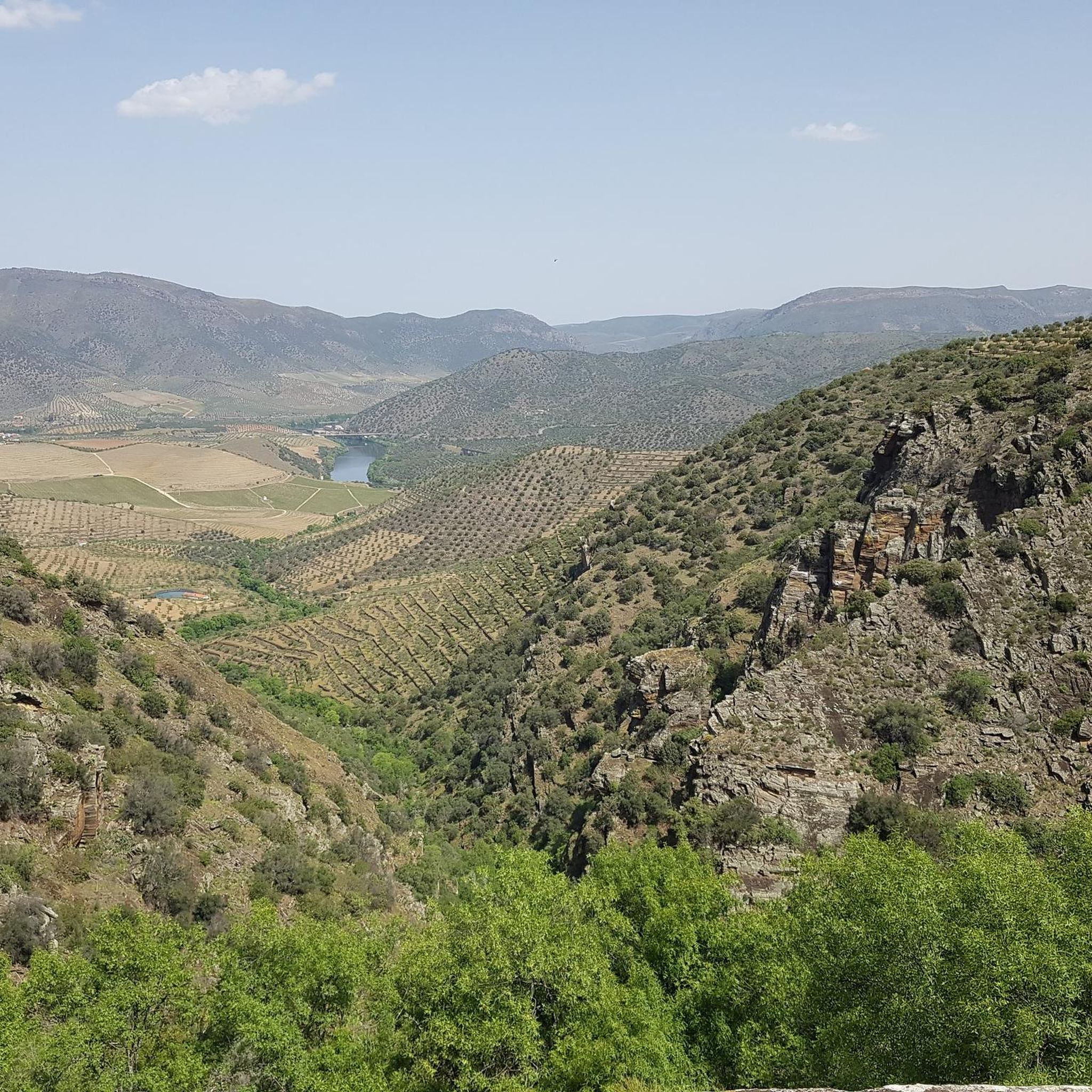
Hiking around Ligares offers trails through river valleys and natural park landscapes, characteristic of the Douro International Natural Park region. The terrain often features paths alongside waterways and routes connecting small towns, providing varied scenery for hikers. This area is defined by its natural beauty and the network of trails that explore its unique environment.
Best hiking trails around Ligares
- The most popular hiking route is Iron Way Trail, a 20.6 miles (33.2 km) difficult trail that takes about…
Last updated: July 1, 2026
5.0
(6)
82
hikers
33.2km
09:07
540m
540m
Hike the difficult 20.6-mile Iron Way round trip from Vega Terron, exploring old railway tunnels and bridges in Arribes del Duero Natural Pa
4.9
(20)
54
hikers
Moderate hike. Good fitness required. Easily-accessible paths. Suitable for all skill levels.

Sign up for free
2.0
(1)
2
hikers
20.3km
05:48
470m
470m
Hike the difficult GR 14 Stage 42: La Fregeneda to Vega Terrón Trail, a 12.6-mile route along the historic Iron Path.
4.4
(5)
15
hikers
Moderate hike. Good fitness required. Easily-accessible paths. Suitable for all skill levels.
8
hikers
9.58km
02:49
270m
270m
Moderate hike. Good fitness required. Easily-accessible paths. Suitable for all skill levels.
Get access to more routes and recommendations from other explorers.
Sign up for free
Already have an account?
Our route recommendations are based on thousands of hikes, rides, and runs completed by other people on komoot.
Start today with a free account
Your next adventure awaits.
Login or Signup
Popular around Ligares
Tips from the Community

The bridge was designed and built in 1955 by the renowned Portuguese engineer Edgar Cardoso. It is considered the first motorway bridge in the Portuguese section of the Douro River and is a concrete arch bridge with a length of approximately 300 meters. It is named after the Portuguese naval officer and colonial administrator Almirante Manuel Maria Sarmento Rodrigues, who served as governor of Guinea and Mozambique under the Salazar dictatorship and later became Minister of Colonies.
1
0
When it was closed in 1985, the region lost its direct connection; the bridge fell into disrepair for decades and was inaccessible for a long time. Only in recent years has the entire route been reopened to hikers and visitors as the "Camino de Hierro" (Iron Way). Crossing the bridge offers spectacular views of the Águeda Gorge and the terraced landscapes of olive, almond, and vineyards. Today, it is an industrial monument and also a tourist highlight in the Arribes del Duero Natural Park.
1
0
The bridge was built as an iron truss structure following the French school's model (inspired by Gustave Eiffel) and spans the deeply cut Río Águeda, approximately 250 meters long and about 20 meters high above the river. The supporting structure consists of riveted steel girders resting on massive stone piers. It was part of the cross-border connection between Spain and Portugal, connecting Salamanca to Porto. Due to its challenging topography—gorges, steep mountain slopes, and narrow valleys—the line was considered one of the most spectacular railway lines in Europe, with a total of 20 tunnels and 13 bridges, of which the Águeda Bridge was the most famous. It served as the gateway to the La Fregeneda–Barca d'Alva border station, where the crossing into Portugal took place.
1
0
The former railway bridge over the Río Águeda near La Fregeneda is one of the most impressive structures on the disused La Fuente de San Esteban – Barca d’Alva railway line (opened in 1887, closed in 1985).
1
0
San Martín was a village in the municipality of La Fregeneda (Salamanca Province) on the Águeda River, directly on the border with Portugal, which was abandoned. Starting in the mid-20th century, as in many peripheral areas, a strong rural exodus began here. This was exacerbated by the closure of the cross-border railway line La Fuente de San Esteban – Barca d'Alva (a spectacular route with 20 tunnels and seven bridges along the Águeda River). After its closure, the area lost infrastructure and jobs, and the remote hamlets were abandoned.
1
0

The Ponte de Santa bridge stretches over the Ribeira do Mosteiro. Beneath it, amidst the whispering water and the gentle warmth of the sun, you can rest on one of the large stone slabs that are spread out there, as if they were made to welcome travelers in need of rest. The scenery around you is pure enchantment: the schist slopes are torn apart by impressive quartzite outcrops that burst from the earth, erected in almost sculptural forms, a geological spectacle that is as intriguing as it is beautiful.
2
0
The Calçada de Alpajares winds through the landscape as a testament to times gone by: a medieval path, perhaps forged during the era of the first dynasty. For centuries, it was a very important route, especially until the beginning of the 20th century, before the Estado Novo roads redesigned the country's routes. This ancient route linked the north, the lands of Miranda, to the south, the Ribacôa region. Its original course approached the Douro River, descending to Freixo de Espada à Cinta, before heading along the slopes of the Poiares mountain range towards the village that shares the same name.
2
0
This place holds ancient memories, with remains dating back to the Bronze Age, with fragments of pottery that reveal human presence since ancient times. But the story did not end there: occupation extended into the Iron Age and continued during Roman rule. The ancient defensive walls of Castro de São Paulo, now almost gone, were worn down by time or transformed into terraces by the hands of farmers who, over the centuries, shaped the landscape to suit their needs.
3
0
Frequently Asked Questions
How many hiking trails are available around Ligares?
There are 11 hiking trails around Ligares, offering a variety of experiences. These include 4 easy, 4 moderate, and 3 difficult routes, catering to different skill levels.
Are there easy hiking options for beginners or families?
Yes, the Ligares area offers 4 easy hiking routes, perfect for beginners or families looking for a less strenuous outing. These trails typically explore the natural beauty of the Douro International Natural Park region without significant elevation changes.
What kind of landscapes can I expect to see while hiking around Ligares?
Hiking around Ligares is characterized by trails through river valleys and natural park landscapes, typical of the Douro International Natural Park region. You'll often find paths alongside waterways and routes connecting small towns, offering diverse scenery.
Are there any circular hiking routes in the area?
Yes, there are circular routes available. For example, the Barca d'Alva – Vega Terrón River Port loop from Antiga estação de Barca d'Alva is a moderate 11.9 km loop, and the Hiking loop from Freixo de Espada à Cinta is another moderate 9.6 km option.
What are some notable attractions or landmarks to see along the trails?
Along the trails, you can explore several interesting points. Highlights include the historic Ponte Almirante Sarmento Rodrigues and the settlement of Barca d'Alva. You might also encounter the Monument to Agostinho da Silva and the Vega Terrón River Pier and Railway Bridge.
Are there any viewpoints with scenic vistas?
Yes, the region offers several viewpoints with impressive vistas. You can visit the Saucelle Viewpoint, Peña de la Vela Viewpoint, and Mirador del Picón del Moro for panoramic views of the surrounding natural park landscapes and river valleys.
Are there options for longer, more challenging hikes?
For those seeking a challenge, there are 3 difficult routes available. The Iron Way Trail is a significant 33.2 km route, and the GR 14 Stage 42: La Fregeneda to Vega Terrón Trail covers 20.3 km through riverine landscapes.
What do other hikers say about the trails around Ligares?
The routes in Ligares are highly rated by the komoot community, with an average score of 4.3 stars from over 40 reviews. More than 190 hikers have explored the varied terrain, often praising the natural beauty and the well-defined paths through river valleys and natural park landscapes.
Are there any historical sites or cultural points of interest?
Beyond natural beauty, you can discover historical elements such as the Castro de São Paulo, an ancient historical site, and the Ponte de Santa over the Ribeira do Mosteiro, an old bridge with historical significance.
Are there trails that follow river valleys or waterways?
Many trails in the Ligares area are defined by their proximity to waterways, characteristic of the Douro International Natural Park. You'll find routes that follow river valleys, offering scenic views and a refreshing hiking experience alongside the water.
What is the best time of year to go hiking in this region?
While specific seasonal details for Ligares are not available, regions with river valleys and natural parks like the Douro International typically offer pleasant hiking conditions in spring and autumn, with milder temperatures. Summer can be hot, and winter might bring cooler, potentially wetter weather.
Most popular routes around Ligares
Most popular attractions around Ligares

Get inspired with the komoot mobile app


Explore more
Browse the best Hikes in other regions.
