The best running trails around Vilarinho Dos Galegos
1.0
(1)
57
runners
11
runs
Jogging around Vilarinho Dos Galegos offers routes through the captivating natural landscapes of the Mirandês Plateau, near the Spanish border. The region is characterized by expansive views over the rocky slopes of the International Douro, a protected area. Joggers can experience routes that wind through dramatic escarpments along the Douro River, providing diverse terrain and scenic vistas. This area is known for its natural features and established pedestrian routes, making it suitable for various running experiences.
Best jogging routes around…
Last updated: July 11, 2026
1
runners
6.90km
00:57
250m
250m
Experience the challenging 4.3-mile (6.9 km) Pozo de los Humos circular jogging route from Masueco, featuring a spectacular waterfall.
1
runners
3.75km
00:26
90m
90m
Jog the moderate 2.3-mile Pozo de los Humos Trail in Arribes del Duero Natural Park to see the spectacular 50-meter waterfall.

Sign up for free
6.69km
00:41
160m
160m
A difficult 4.2 miles (6.7 km) jogging route in Arribes del Duero Natural Park with stunning views from Rupurapay Viewpoint.
13
runners
8.87km
01:10
270m
270m
Hard run. Good fitness required. Sure-footedness, sturdy shoes and alpine experience required.
10
runners
Hard run. Very good fitness required. Sure-footedness, sturdy shoes and alpine experience required.
Get access to more routes and recommendations from other explorers.
Sign up for free
Already have an account?
Our route recommendations are based on thousands of hikes, rides, and runs completed by other people on komoot.
Start today with a free account
Your next adventure awaits.
Login or Signup

Tips from the Community

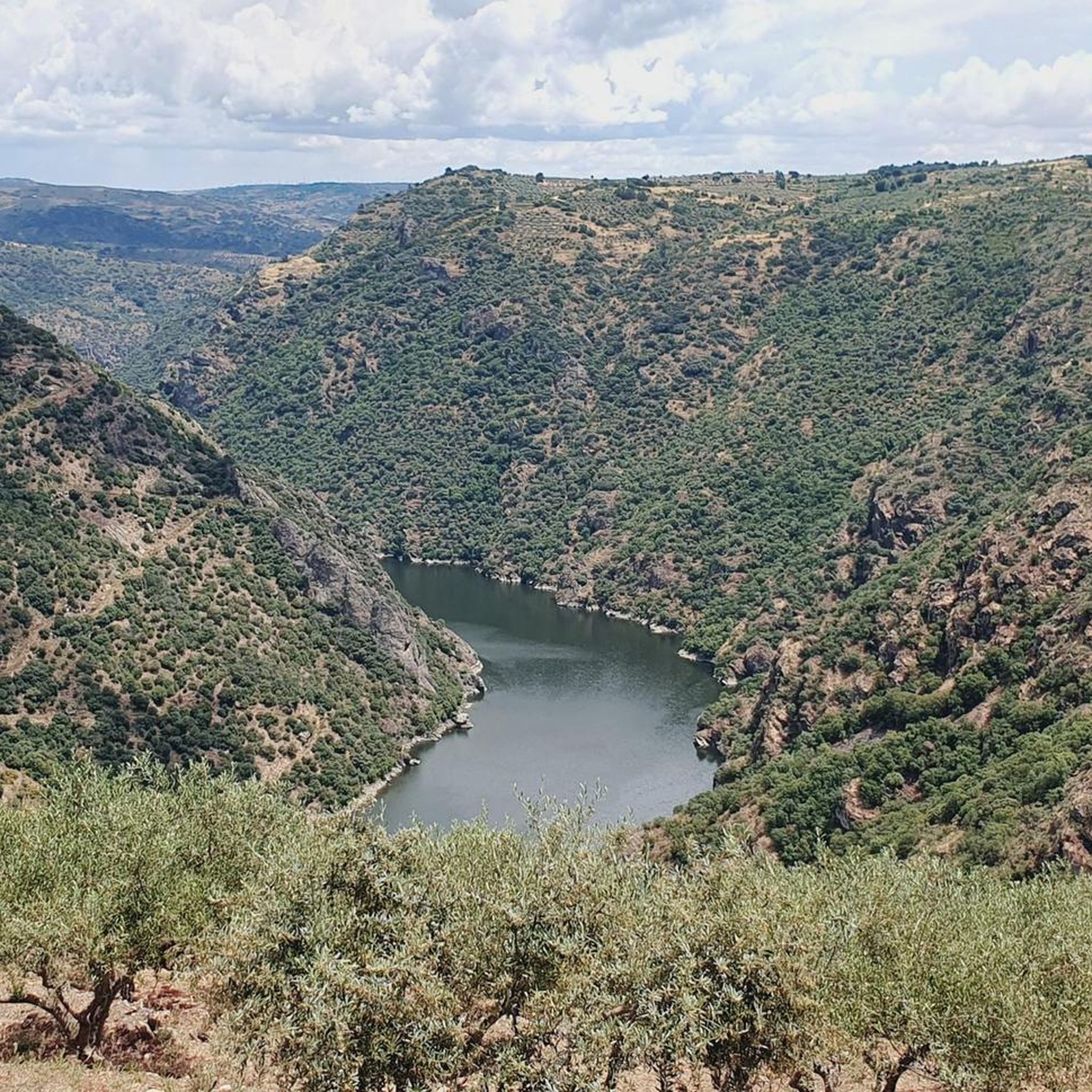
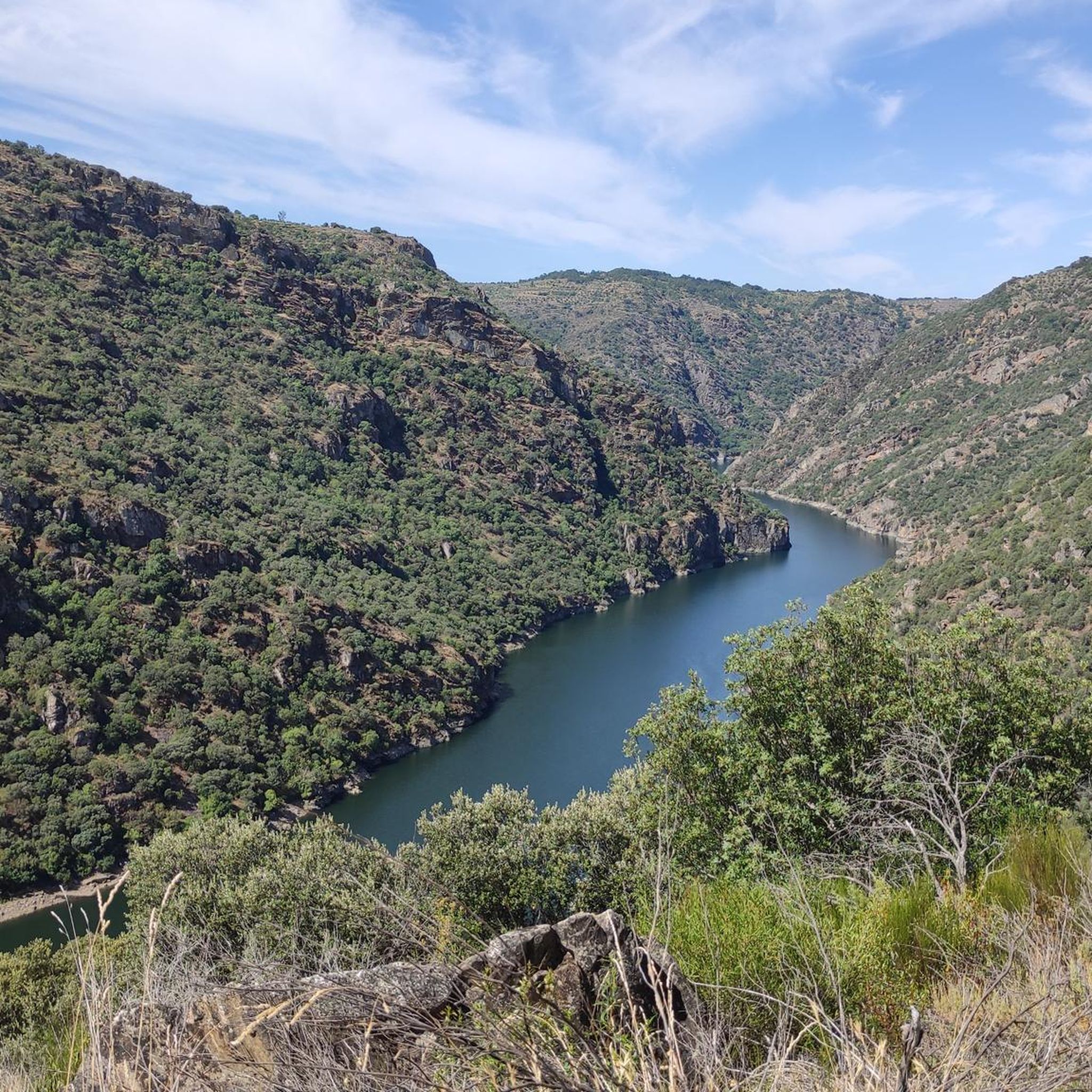
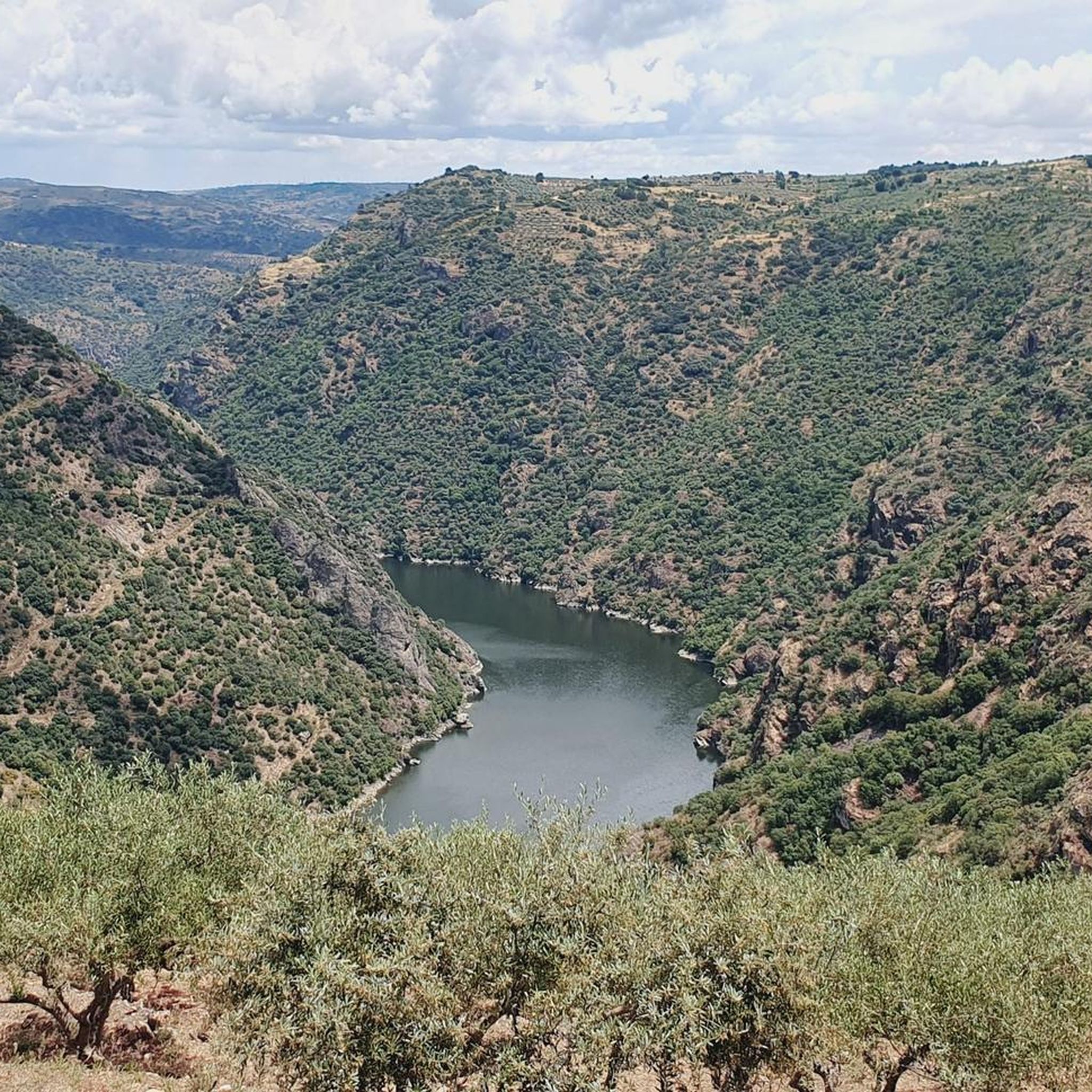
The Mirador de Rupurupay is located in Aldeadávila de la Ribera, in the province of Salamanca, Castilla y León. This viewpoint offers stunning views of the Duero River and is an ideal starting point for exploring the Cascada del Remolino. The route to the viewpoint is quite accessible and takes approximately 3 hours and 40 minutes, with a distance of 9.4 km. It is a perfect excursion to enjoy nature and the characteristic landscape of the area, including the exploitation of olive and almond trees on terraces.
2
0
The Pozo de los Humos is an impressive waterfall located in the province of Salamanca, in the autonomous community of Castilla y León, Spain. This waterfall is located on the Uces River and is known for its spectacular waterfall of about 50 meters high, especially impressive during the rainy season. 😊
6
0
The Pozo de los Humos is an impressive waterfall located in the province of Salamanca, in the autonomous community of Castilla y León, Spain. This waterfall is located on the Uces River and is known for its spectacular waterfall of about 50 meters high, especially impressive during the rainy season. 😊
6
0

A great vantage point! The view of the Duero and Portugal on the opposite side is very impressive from this spot!
1
0
It is worth taking a look at the El pozo de los Humos waterfall. There are many different views and the area near the waterfall is very nicely designed for visitors. You can also take a circular walk from Masueco: towards the car park to the Pozo and then back to the village via a narrow hiking trail.
1
0

Beautiful town with very beautiful views of the Douro. Visit Rostro beach and take a boat ride on the river.
0
0
Visit when the Uces River has water. Autumn Winter.
1
0

The municipality of Aldeadávila de la Ribera, in the province of Salamanca, is one of the towns with the most tourist offers in the heart of the Arribes de Duero natural park.
1
0
Frequently Asked Questions
What kind of terrain can I expect on the running routes around Vilarinho Dos Galegos?
The running routes in this region primarily traverse the captivating natural landscapes of the Mirandês Plateau and the International Douro Natural Park. You can expect diverse terrain, including dramatic escarpments along the Douro River, offering both scenic vistas and varied challenges. Many routes feature rocky slopes and established pedestrian paths like the GR-36 trail.
Are there any running routes that feature waterfalls or impressive natural sights?
Yes, the region is known for its stunning natural features. For instance, the Pozo de los Humos from Masueco Trail leads to the impressive Pozo de los Humos Waterfall viewpoint. Another option is the Pozo de los Humos Trail, which offers views of the Uces River and its natural spectacle. You might also encounter the Cascada de Pinero.
How many running routes are available in the Vilarinho Dos Galegos area?
There are over 10 dedicated running routes around Vilarinho Dos Galegos, offering a range of distances and difficulties suitable for various fitness levels. The komoot community has explored these trails extensively, with more than 50 runners having used komoot to discover the area.
Are there any routes with panoramic viewpoints for runners?
Absolutely. The region is rich in viewpoints offering breathtaking vistas over the International Douro. The Rupurupay Viewpoint Trail is a popular choice, leading through areas with panoramic views. Other notable viewpoints include Pozo de los Humos Viewpoint, Rupurapay Viewpoint, and Friar's Viewpoint.
What is the general difficulty level of the running trails in Vilarinho Dos Galegos?
The running routes in Vilarinho Dos Galegos offer a mix of challenges. While there are some moderate options, the majority of the routes are classified as difficult, featuring significant elevation changes. For example, the Rupurapay Viewpoint loop from Aldeadávila de la Ribera is considered difficult due to its elevation profile.
What do other runners say about the trails in Vilarinho Dos Galegos?
The running routes in Vilarinho Dos Galegos are highly regarded by the komoot community, with an average rating of 1.0 stars. Runners often praise the stunning natural scenery, the dramatic escarpments along the Douro River, and the opportunity to experience rich biodiversity within the International Douro Natural Park.
Are there any long-distance running options or loops available?
Yes, for those looking for longer runs, there are extended loop options. The Rupurapay Viewpoint – Aldeadávila de la Ribera loop from Aldeadávila de la Ribera is a challenging route covering over 17 kilometers with substantial elevation gain, perfect for advanced runners seeking a longer adventure.
What kind of wildlife might I encounter while running in the region?
The region is part of the Parque Natural do Douro Internacional, a protected area known for its rich biodiversity. The dramatic escarpments along the Douro River are crucial nesting sites for various bird species, including the endangered Egyptian Vulture (britango) and griffon vultures. Keep an eye out for these magnificent birds during your run.
Is Vilarinho Dos Galegos suitable for trail running, given its natural features?
Absolutely. The region's natural features, including the Mirandês Plateau, the Douro River escarpments, and areas like Fraga do Calço with its impressive rock formations, make it an ideal location for trail running. The established pedestrian routes and varied terrain provide an invigorating outdoor experience for those who enjoy off-road running.
What are the best times of year to go running in Vilarinho Dos Galegos?
While specific recommendations vary, the natural beauty of Vilarinho Dos Galegos can be enjoyed across multiple seasons. Spring and autumn generally offer milder temperatures, which are ideal for running. During the rainy season, natural features like the Pozo de los Humos waterfall are particularly magnificent, adding to the scenic appeal of your run.
Are there any historical sites or cultural landmarks that can be incorporated into a run?
Yes, the region offers historical interest. The presence of the 'Castro dos Mouros,' a fortified settlement on a hill overlooking the Douro River, suggests walkable areas and historical significance that can be integrated into your running routes, offering a blend of natural beauty and cultural exploration.
Most popular attractions around Vilarinho Dos Galegos

Get inspired with the komoot mobile app


Explore more
Browse the best Running Trails & Routes in other regions.
