The best MTB trails around Peredo Dos Castelhanos
5.0
(3)
66
riders
6
rides
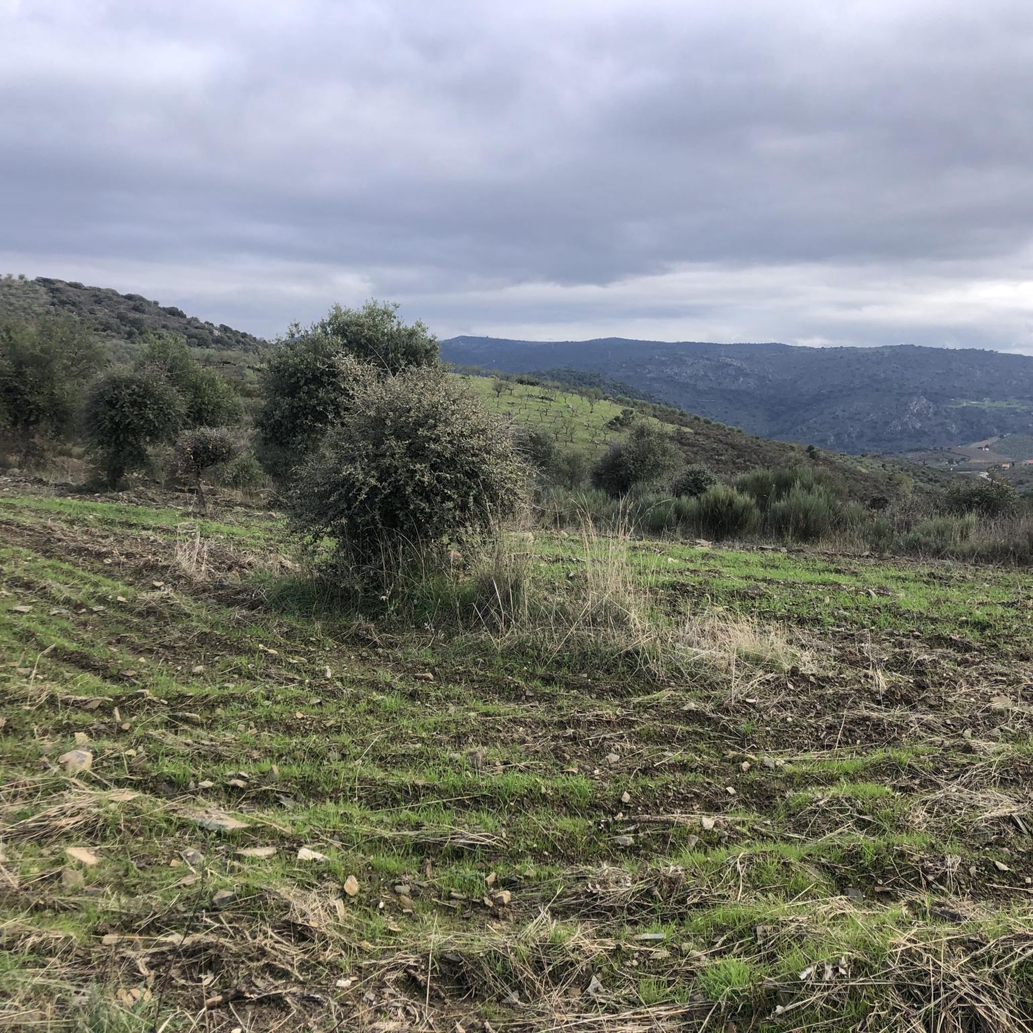
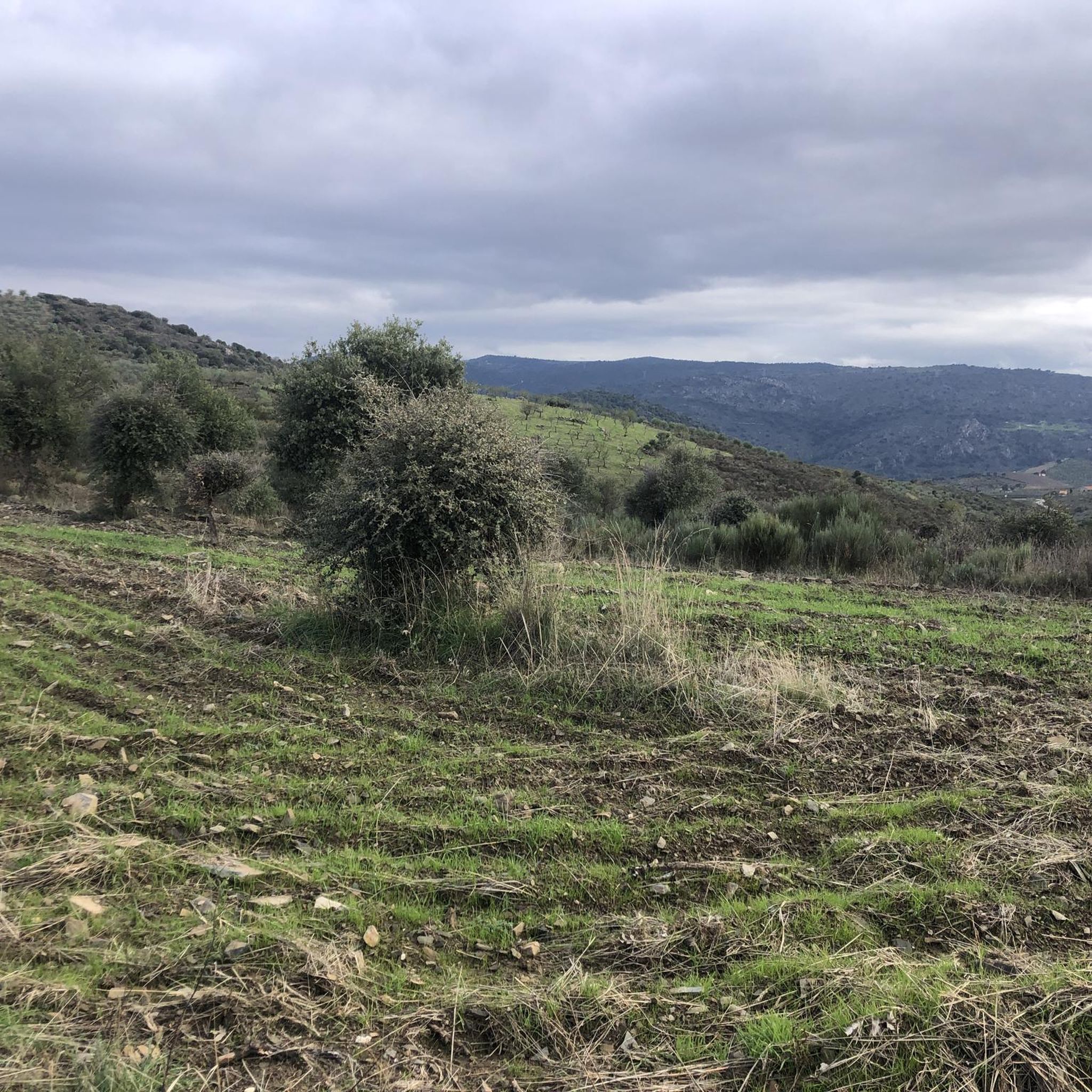
Mountain biking around Peredo Dos Castelhanos offers diverse terrain within Portugal's Alto Douro region. The area is characterized by significant elevation changes, ranging from 125 meters along the Douro River to plateaus around 500 meters. This topography, combined with the confluence of the Douro and Côa rivers, creates a landscape of slopes, steep hills, and narrow valleys. Terraced vineyards and natural scenery provide a backdrop for mountain bike trails.
Best mountain bike trails around Peredo Dos Castelhanos
- The most popular…
Last updated: June 28, 2026
29
riders
59.4km
05:53
1,580m
1,580m
Hard mountain bike ride. Very good fitness required. Suitable for all skill levels.
5.0
(1)
13
riders
68.0km
06:31
1,500m
1,500m
Hard mountain bike ride. Very good fitness required. Suitable for all skill levels.

Sign up for free
11
riders
71.6km
07:27
2,000m
2,000m
Hard mountain bike ride. Very good fitness required. Suitable for all skill levels.
8
riders
39.6km
04:03
1,070m
1,070m
Hard mountain bike ride. Very good fitness required. Suitable for all skill levels.
5.0
(2)
5
riders
48.9km
04:21
910m
910m
Hard mountain bike ride. Very good fitness required. Suitable for all skill levels.
Our route recommendations are based on thousands of hikes, rides, and runs completed by other people on komoot.
Start today with a free account
Your next adventure awaits.
Login or Signup
Popular around Peredo Dos Castelhanos
Tips from the Community

The Sabor River originates in Spain and flows through the Trás-os-Montes region until it flows into the Douro River. With the construction of the Baixo Sabor Dam, the former "wild river" gave way to the magnificent Sabor Lakes. This complex stretches for 70 km and covers four municipalities: Alfândega da Fé, Macedo de Cavaleiros, Mogadouro and Torre de Moncorvo.
0
0
The Ecopista do Sabor is a long-distance cycling and pedestrian route (with approximately 54 km usable) built on the route of the disused Linha do Sabor railway line. It connects the Pocinho area to Carviçais (30 km) and Sendim to Duas Igrejas (14 km), offering breathtaking views over the Sabor River and the Serra do Reboredo.
0
0

Vila Nova de Foz Côa is a jewel of northern Portugal, located in the Guarda district of the Alto Douro region. It is known for its unique archaeological heritage, spectacular wine-growing landscapes, and its deep connection to history and nature.
3
0

Old Carmelite convent that is located on one side of the road and that allows us to see incredible views of the monastery and its walls.
0
0
Nice road, which leaves us at the entrance to Urros, on a hilly and winding road, good for riding.
0
0

Frequently Asked Questions
What kind of terrain can I expect on mountain bike trails around Peredo Dos Castelhanos?
The region offers diverse terrain, characterized by significant elevation changes. You'll find routes ranging from 125 meters along the Douro River up to plateaus around 500 meters. This topography, combined with the confluence of the Douro and Côa rivers, creates a landscape of slopes, steep hills, and narrow valleys, often with terraced vineyards as a backdrop.
Are there mountain bike trails suitable for beginners in Peredo Dos Castelhanos?
While many routes in Peredo Dos Castelhanos are rated as difficult, there is at least one moderate trail available. For example, the Mountainbike loop from Vila Nova de Foz Coa is a moderate 43.4 km route that offers a less challenging option while still exploring the region's beauty.
What are some challenging mountain bike routes for experienced riders?
Experienced riders will find several difficult routes. The Mountainbike loop from Torre de Moncorvo is a demanding 71.6 km trail, often taking over 7 hours to complete. Another challenging option is the Albufeira do Feiticeiro – Praia Fluvial de Foz do Sabor loop from Torre de Moncorvo, a 60.9 km route with significant elevation changes.
What do other mountain bikers say about the trails in Peredo Dos Castelhanos?
The mountain bike routes in Peredo Dos Castelhanos are highly rated by the komoot community, with an average score of 5.0 stars from over 4 reviews. Many visitors appreciate the varied terrain, the stunning riverine landscapes, and the challenging climbs and descents that define the region.
Are there any notable landmarks or attractions I can see along the mountain bike trails?
Yes, the region is rich in natural beauty and historical sites. You can explore the Côa Museum, which is a gateway to the UNESCO World Heritage site of the Côa Valley Archaeological Park. Other points of interest include the Ruins of the Pocinho Railway District and the scenic Sabor Greenway.
Are there any viewpoints accessible by mountain bike in the Peredo Dos Castelhanos area?
The region is known for its dramatic landscapes, especially around the Douro River and its confluence with the Côa River. While specific viewpoints are not listed for the trails, the varying elevations and riverine scenery mean many routes will offer panoramic vistas of the terraced vineyards and river valleys. The Miradouro de São Gabriel is a well-known viewpoint in the broader area.
What is the best season for mountain biking in Peredo Dos Castelhanos?
The Alto Douro region generally experiences hot, dry summers and mild winters. Spring and autumn are typically the most pleasant seasons for mountain biking, offering comfortable temperatures and vibrant natural scenery. It's advisable to check local weather forecasts before planning your ride, especially during the hotter months.
Are there any circular mountain bike routes available?
Yes, many of the mountain bike trails in the area are designed as loops. For instance, the Arrival at Urros loop from Torre de Moncorvo is a 68 km circular path that navigates the region's diverse topography, including riverine landscapes and higher plateaus.
How long do mountain bike trails typically take to complete in this region?
The duration varies significantly based on the trail's length and difficulty. For example, the difficult Albufeira do Feiticeiro – Praia Fluvial de Foz do Sabor loop from Torre de Moncorvo is estimated to take around 6 hours, while the even longer Mountainbike loop from Torre de Moncorvo can take approximately 7 hours and 27 minutes.
Is Peredo Dos Castelhanos suitable for family-friendly mountain biking?
The region's mountain biking trails are predominantly rated as difficult, with significant elevation changes. While there is at least one moderate route, families with younger children or those seeking very easy, flat trails might find options limited. It's best to review specific route profiles for elevation and technical difficulty to ensure suitability for all family members.
Where can I find parking for mountain biking trailheads in Peredo Dos Castelhanos?
Many of the listed routes, such as those starting from Torre de Moncorvo or Vila Nova de Foz Coa, typically have parking available near their starting points. It's recommended to check the specific tour details on komoot for information on designated parking areas or suitable roadside parking at the trailhead.
What are the elevation gains like on the mountain bike trails?
The trails in Peredo Dos Castelhanos feature substantial elevation gains due to the region's varied topography. For example, the Mountainbike loop from Torre de Moncorvo involves nearly 2,000 meters of ascent, while the Mountainbike loop from Torre de Moncorvo (a different route with the same name) has over 1,000 meters of climbing.
Most popular routes around Peredo Dos Castelhanos
Most popular attractions around Peredo Dos Castelhanos

Get inspired with the komoot mobile app


Explore more
Browse the best MTB trails in other regions.
