The best walks and hikes around Gaugrehweiler
4.6
(9357)
34,232
hikers
634
hikes
Hiking trails around Gaugrehweiler are situated within the Münstertal in the North Palatine Uplands, offering diverse landscapes for outdoor exploration. The region is characterized by its proximity to the Palatinate Forest and the Donnersberg, the highest mountain in the Northern Palatinate. Rolling hills, vineyards, and the Appelbach River contribute to the varied terrain, providing a mix of woodland paths, open fields, and riverside routes.
Best hiking trails around Gaugrehweiler
- The most popular hiking route is View of Donnersberg loop from…
Last updated: July 1, 2026
4.2
(34)
81
hikers
8.01km
02:19
210m
210m
Moderate hike. Good fitness required. Easily-accessible paths. Suitable for all skill levels.
5.0
(4)
15
hikers
10.8km
02:58
180m
180m
Moderate hike. Good fitness required. Easily-accessible paths. Suitable for all skill levels.

Sign up for free
4.4
(7)
10
hikers
5.14km
01:26
90m
90m
Easy hike. Great for any fitness level. Easily-accessible paths. Suitable for all skill levels.
4.6
(5)
12
hikers
4.85km
01:18
60m
60m
Easy hike. Great for any fitness level. Easily-accessible paths. Suitable for all skill levels.
5
hikers
5.19km
01:28
110m
110m
Easy hike. Great for any fitness level. Easily-accessible paths. Suitable for all skill levels.
Get access to more routes and recommendations from other explorers.
Sign up for free
Already have an account?
Our route recommendations are based on thousands of hikes, rides, and runs completed by other people on komoot.
Start today with a free account
Your next adventure awaits.
Login or Signup
Tips from the Community

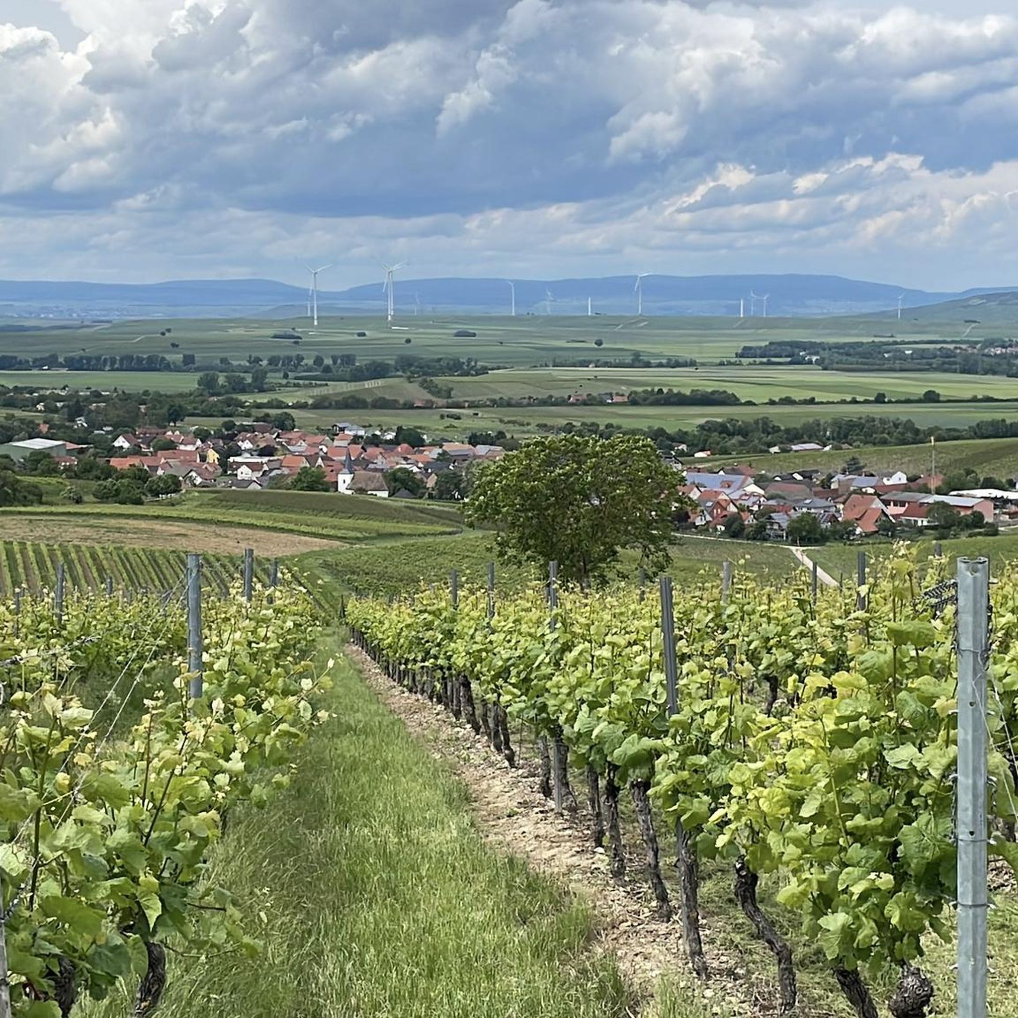
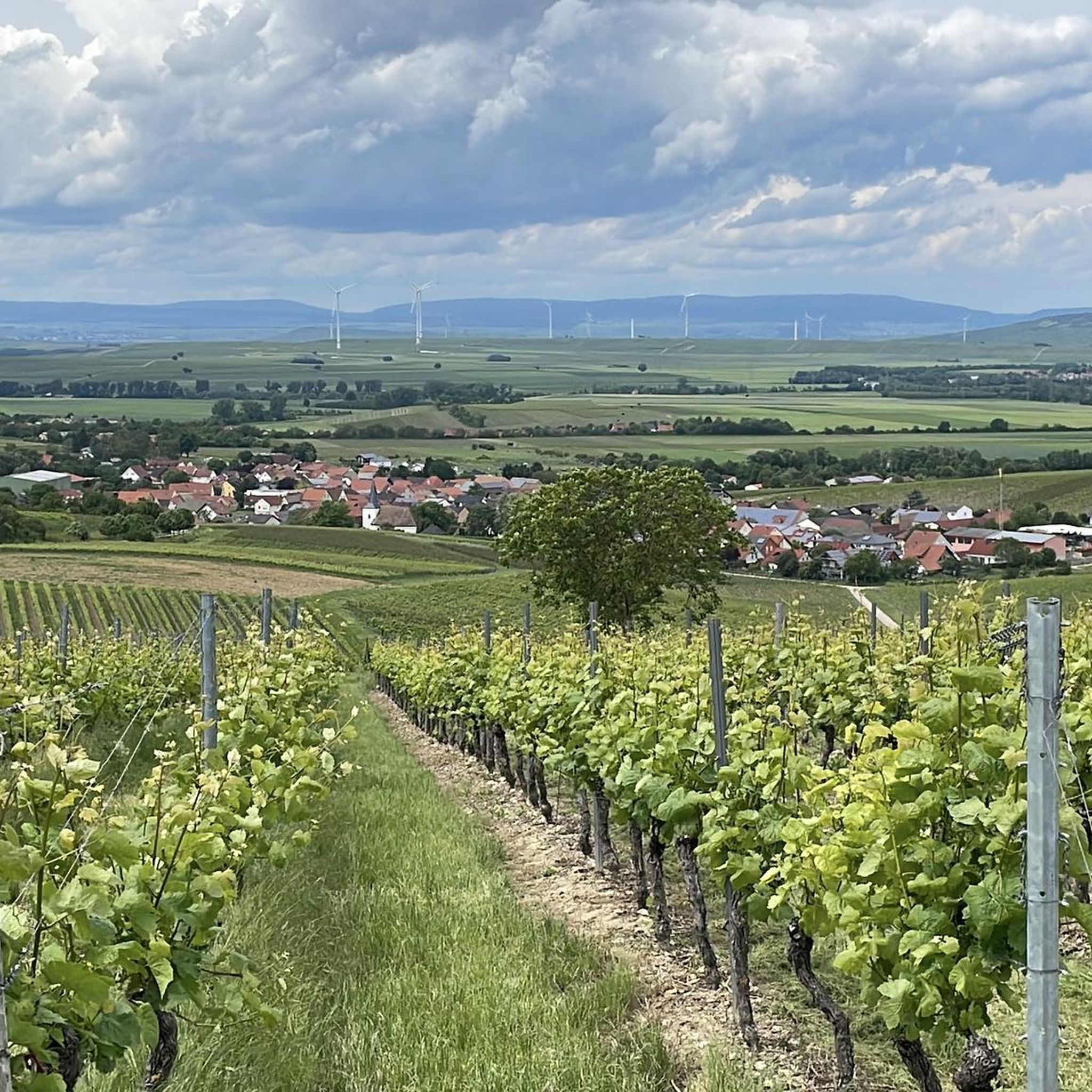
It is a bit of a climb for this resting point, but then you also have a beautiful view.
1
0
Rest point with a view
0
0

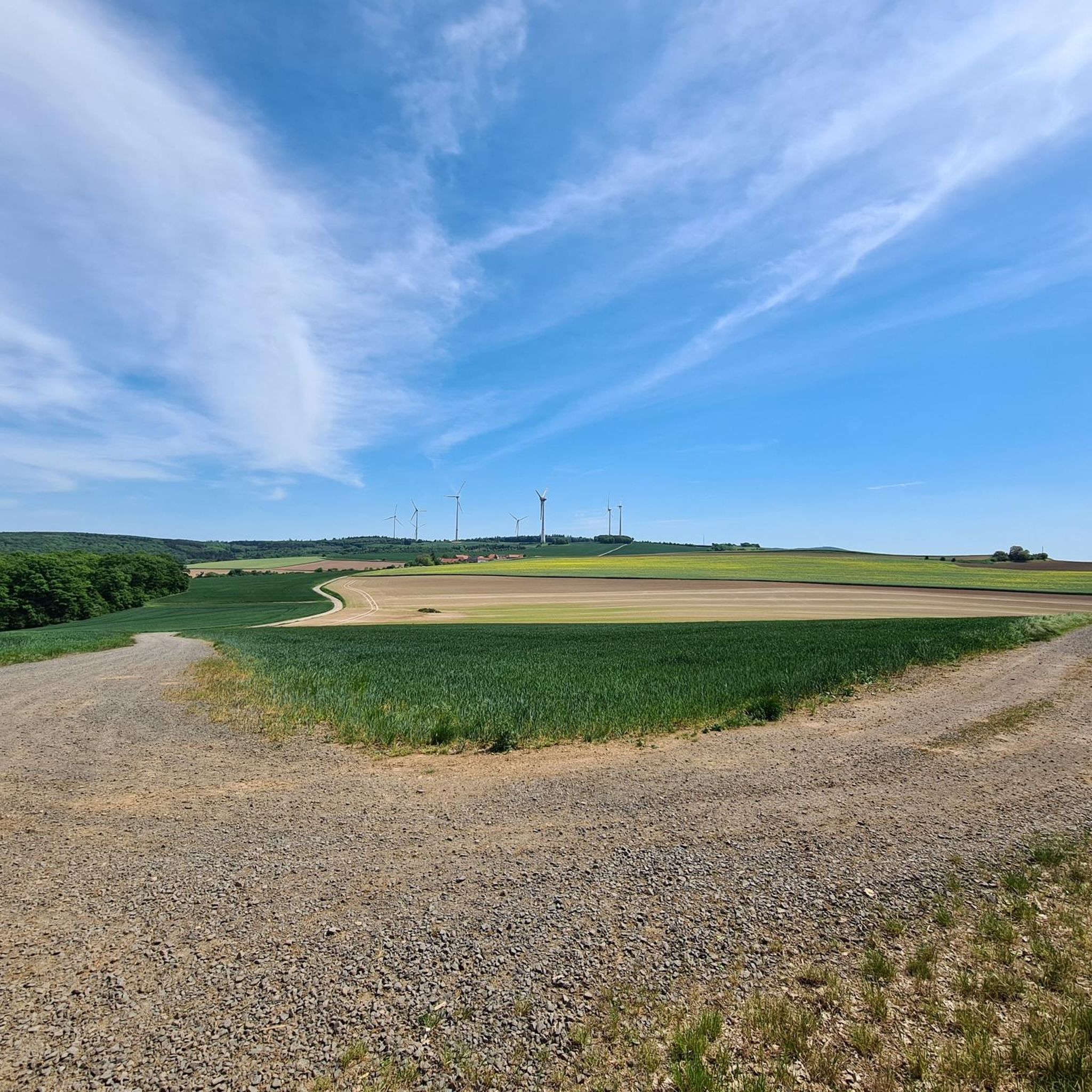
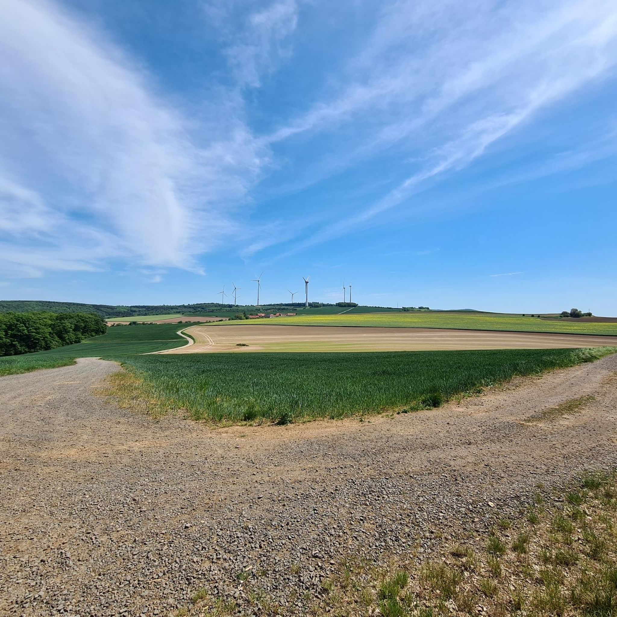
Good parking facilities. On site there is a production facility where Terra Preta is made, a Solawi and a vending machine with local products.
0
0

One of the 7 farms where you come across on this tour
0
0
Frequently Asked Questions
How many hiking trails are available around Gaugrehweiler?
There are over 630 hiking trails around Gaugrehweiler, offering a wide variety of options for all skill levels. This includes more than 350 easy routes, 250 moderate trails, and over 20 challenging hikes.
What kind of landscapes can I expect to see while hiking near Gaugrehweiler?
Hiking around Gaugrehweiler offers diverse landscapes, from the expansive woodlands of the Palatinate Forest to the rolling hills adorned with picturesque vineyards. You'll also find trails along the Appelbach River and routes that provide stunning views of the Donnersberg, the highest mountain in the Northern Palatinate.
Are there any easy hiking trails suitable for families or beginners?
Yes, Gaugrehweiler offers many easy trails perfect for families and beginners. For example, the Solar Park St. Alban – Hengstbacherhof loop from Sankt Alban is an easy 3.2-mile (5.1 km) trail through open fields. Another accessible option is the View of St. Alban – Hunting cabin loop from Gerbach, which is just under 5 miles (8 km) and features minimal elevation gain.
Are there any challenging hikes for experienced hikers?
Yes, for experienced hikers seeking a challenge, the region offers over 20 difficult routes. The Donnersberg itself, as the highest mountain in the Northern Palatinate, provides trails with significant ascents and rewarding panoramic views from its summit, the Königsstuhl.
What are some notable viewpoints or landmarks along the trails?
The region boasts several impressive viewpoints and landmarks. You can enjoy eastward views over the Zellertal and Worms from the Adlerbogen Viewpoint. Other scenic spots include the Hirtenfels Viewpoint and the Ludwig Tower on the Donnersberg. For history enthusiasts, nearby Rheingrafenstein Castle Ruins offer a glimpse into the past.
Are there any circular hiking routes around Gaugrehweiler?
Yes, many routes in the area are circular, allowing you to start and end at the same point. An example is the View of Donnersberg loop from Gerbach, a moderate 5-mile (8 km) trail offering scenic vistas. Another option is the Hengstbacherhof – Heinrichsbacher Hof loop from Sankt Alban, which is a moderate 6.7-mile (10.8 km) path traversing rural landscapes.
Can I find trails that pass by lakes or natural reserves?
Yes, the area around Gaugrehweiler features trails that lead to beautiful natural spots. You can explore the Silver Lake (Lemberg Nature Reserve) or discover the Am Grubenkopf Nature Reserve. There are also several ponds and lakes along the Appelbach, such as the Fishing pond on the Appelbach near Wallertheim.
What do other hikers say about the trails in Gaugrehweiler?
The hiking trails around Gaugrehweiler are highly regarded by the komoot community, holding an average rating of 4.6 stars from over 7,000 reviews. Hikers frequently praise the diverse terrain, well-maintained paths, and the stunning views of the Palatinate Forest and Donnersberg.
Is Gaugrehweiler a good destination for combining hiking with other activities?
Absolutely. Beyond hiking, the region is known for its picturesque vineyards, offering opportunities for wine tasting, especially during the spring and autumn festivals. The Appelbach River also features a dedicated cycle path, making it easy to combine hiking with cycling through the scenic valley.
Are there any specific routes that highlight the vineyards?
While specific vineyard routes aren't listed, many trails in the region traverse the rolling hills where vineyards are prominent. The general landscape around Gaugrehweiler is characterized by these picturesque vineyards, so you'll encounter them on numerous walks, especially on routes that offer open views of the surrounding countryside, such as the Heinrichsbacher Hof – Hengstbacherhof loop from Schmalfelderhof.
Most popular attractions around Gaugrehweiler

Get inspired with the komoot mobile app


Explore more
Browse the best Hikes in other regions.
