The best walks and hikes around Lardosa
4.9
(11)
42
hikers
7
hikes
Hiking around Lardosa, a parish in the Municipality of Castelo Branco, Portugal, offers diverse landscapes for outdoor enthusiasts. The region is characterized by varied terrain, including the notable Gardunha mountain range, which features impressive granite formations and panoramic views. Beyond the mountainous areas, access to the Marateca Dam provides additional outdoor options. This varied environment supports a range of hiking trails suitable for different skill levels.
Best hiking trails around Lardosa
- The most popular hiking route is Castelo Velho loop…
Last updated: June 24, 2026
4.7
(3)
15
hikers
14.3km
04:26
550m
550m
Moderate hike. Good fitness required. Mostly accessible paths. Sure-footedness required.
5.0
(4)
10
hikers
11.4km
03:24
350m
350m
Moderate hike. Good fitness required. Easily-accessible paths. Suitable for all skill levels.

Sign up for free
5.0
(2)
3
hikers
10.5km
03:13
370m
370m
Moderate hike. Good fitness required. Mostly accessible paths. Sure-footedness required.
5.0
(1)
1
hikers
7.18km
01:53
60m
60m
Easy hike. Great for any fitness level. Easily-accessible paths. Suitable for all skill levels.
7
hikers
18.0km
05:34
680m
680m
Hard hike. Very good fitness required. Easily-accessible paths. Suitable for all skill levels.
Get access to more routes and recommendations from other explorers.
Sign up for free
Already have an account?
Our route recommendations are based on thousands of hikes, rides, and runs completed by other people on komoot.
Start today with a free account
Your next adventure awaits.
Login or Signup

Tips from the Community

Built in the 18th century, this Baroque-influenced property is located in Largo da Bica. It features a rectangular backrest with two pilasters, topped with a beveled Latin cross and the coat of arms of King João V. It is accessed by a grand staircase decorated with flaming vases and modillions used to tether horses. It is a drinking water fountain.
0
0
Nestled on a hill overlooking the cliffs of the Serra da Gardunha, the village of Castelo Novo is linked to the early history of the nation. It was in 1208, during the reign of Sancho I, that Pedro Guterres donated the land—of which he was a grantee—in his will to the Knights Templar, and it is believed that at this time the castle was already under construction. Decades later, King Dinis ordered its structure to be renovated, and it was this campaign of works that gave the Castelo Novo fortress the Gothic characteristics it still displays today. Like many other villages along the Beira border, Castelo Novo grew in the shadow of and around its walls, with narrow streets winding up the hillside to the keep. In the center stands the Town Hall, with its arcades beneath the terrace of the main floor. In the center, integrated into the town hall's façade, stands the monumental and imposing King João V fountain, commissioned by King Magnanimous. Opposite, the Manueline pillory marks the center of the square, and further on, the main church dedicated to Our Lady of Grace rises, its white walls contrasting with the Baroque forms of the granite windows and portals. Throughout the village, as you wander the winding streets, you can discover architectural details, small traces that tell the story of its inhabitants. In Castelo Novo, be sure to visit: The castle; The Bica and King João V fountains; The main church and the Misericórdia church; The manor houses; The old gallows. The Castelo Novo Museum Center Alardo Park
1
0

At the top of Gardunha, almost 1,000 meters above sea level, stands the Castelo Velho site. From here, the view reaches the Castelo Branco plain and continues to the Tagus River, an endless horizon. Among balanced rocks, blocks sculpted by time, and curious granite forms, this place is a veritable open book of geology and a privileged viewpoint of the mountains.
2
0

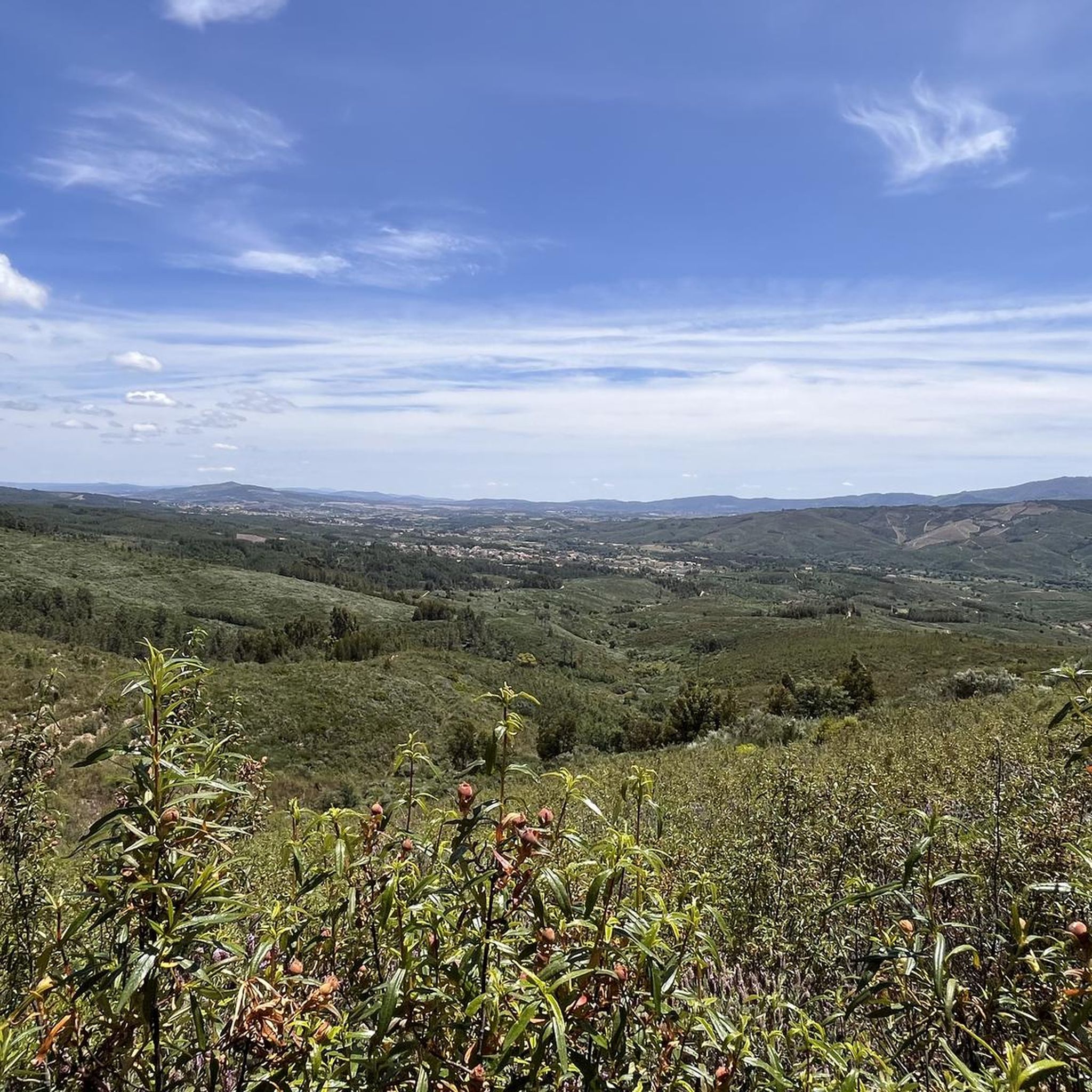
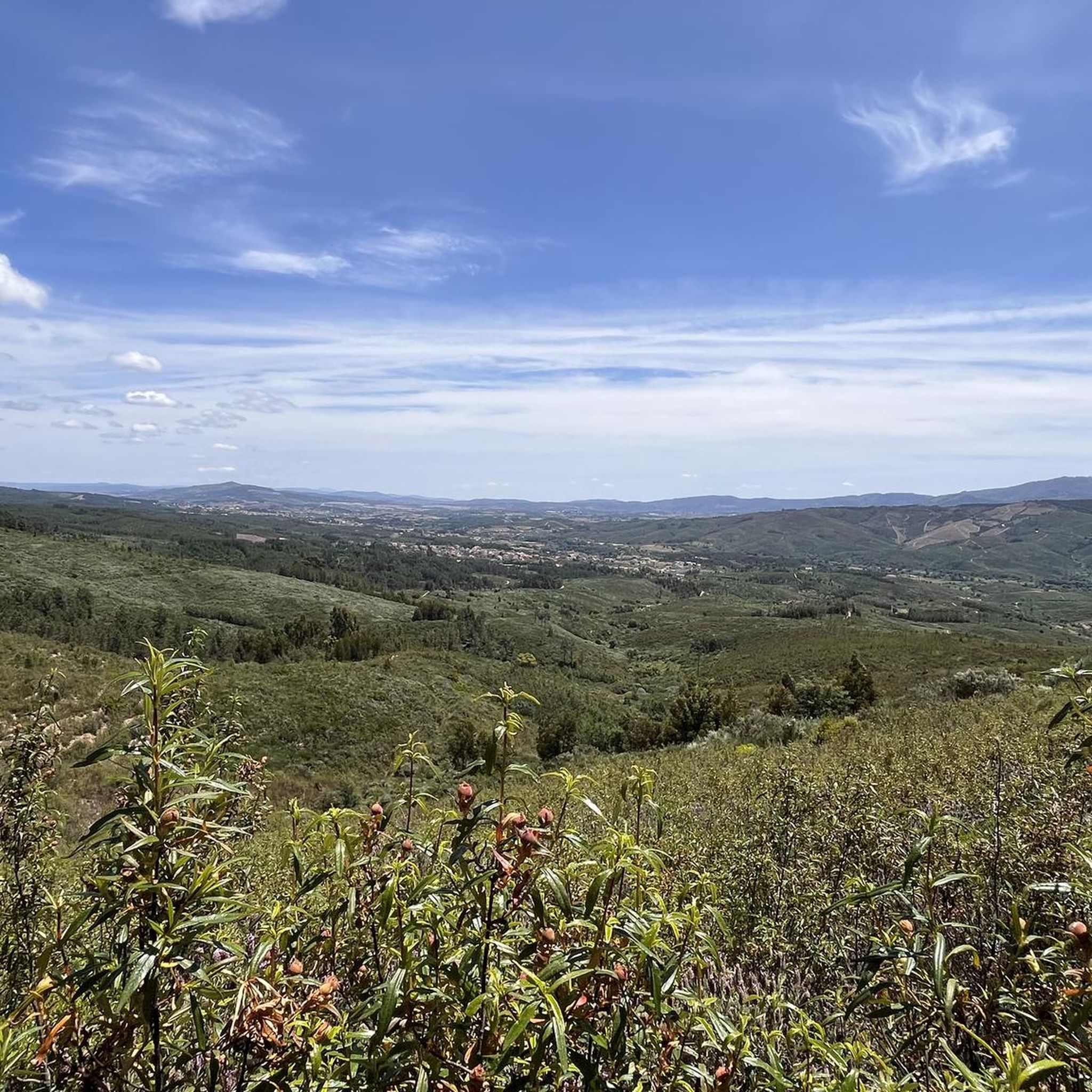
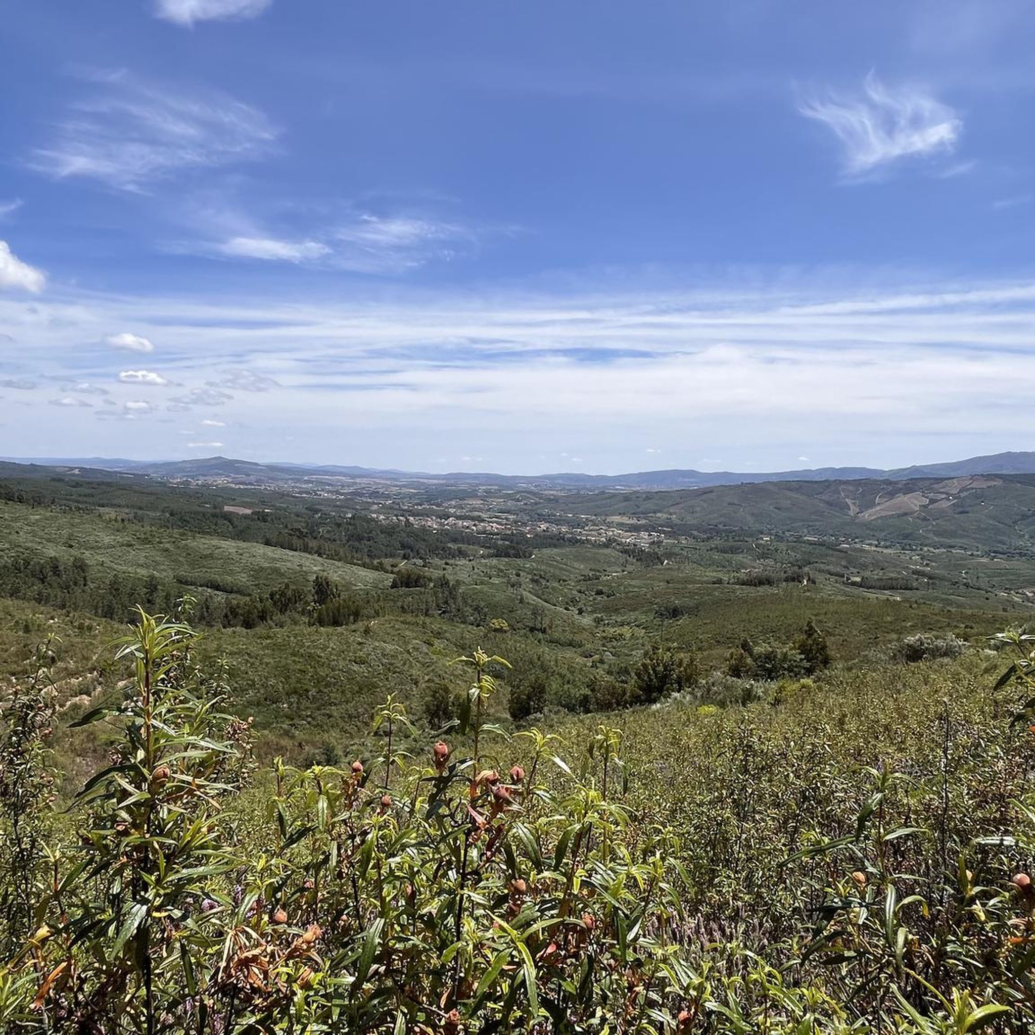
The road to the Castelo Velho swing is quite uneven, but with caution, it's accessible even with a non-off-road vehicle. The effort is worth it, as the view from the swing is breathtaking. You can see the Santa Águeda Dam and Louriçal do Campo.
2
0
The church was rebuilt in 1732 on the ruins of an ancient temple.
2
0
Built in the 18th century, this Baroque-style fountain is located in the Largo da Bica square. Access is via a grand staircase.
3
0
It probably dates back to the time when King Manuel I granted the town charter in 1510.
2
0

The Nossa Senhora da Gardunha Cave can be used as a temporary shelter or for overnight stays. It has the conditions to build a fire and space for a large group to sleep (±8).
0
0
Frequently Asked Questions
What kind of terrain can I expect on hikes around Lardosa?
Hiking around Lardosa offers diverse terrain, from the impressive granite formations and panoramic viewpoints of the Gardunha mountain range to varied landscapes around the Marateca Dam. You'll find a mix of mountainous paths and more gentle routes, providing a rich geological experience.
Are there any easy hiking trails suitable for beginners near Lardosa?
Yes, Lardosa offers trails suitable for various skill levels, including easy options. For instance, the Olive Grove Landscape – Roman Bridge loop from Oledo is an easy 7.1 km path that takes less than two hours to complete, perfect for a relaxed walk.
Where can I find challenging hikes in the Lardosa area?
For those seeking a challenge, the Lardosa area, particularly within the Gardunha mountain range, has more demanding routes. The Castelo Novo Castle Ruins – View of Castelo Novo loop from Castelo Novo is a difficult 18.0 km trail with significant elevation gain, requiring good fitness and sure-footedness.
Are there any circular hiking routes around Lardosa?
Many of the popular routes around Lardosa are circular, allowing you to start and end in the same location. Examples include the Castelo Velho loop from Louriçal do Campo and the View of Castelo Novo – Castelo Novo Castle Ruins loop from Castelo Novo, both offering engaging loop experiences.
What natural features or landmarks can I see while hiking near Lardosa?
The region boasts several notable features. You can explore the geological wonders of the Gardunha mountain range with its impressive granite formations and balanced rocks. Additionally, the area provides access to the Marateca Dam for water-based activities. Historic landmarks like the Castelo Novo Castle Ruins and viewpoints such as Castelo Velho offer cultural and scenic interest.
What do other hikers say about the trails in Lardosa?
The trails in Lardosa are highly regarded by the komoot community, with an average rating of 4.8 stars from over 10 reviews. Hikers often praise the diverse landscapes, the impressive granite formations, and the well-marked paths that cater to different ability levels.
Are there any historical sites or ruins accessible via hiking trails?
Yes, several trails lead to or pass by historical sites. The area around Castelo Novo is particularly rich in history, with routes like the View of Castelo Novo – Castelo Novo Castle Ruins loop from Castelo Novo exploring the vicinity of the Castelo Novo Castle Ruins.
How many hiking routes are available in the Lardosa area?
There are 7 hiking routes available around Lardosa, offering a variety of experiences. These include 2 easy, 4 moderate, and 1 difficult trail, ensuring options for different fitness levels and preferences.
Can I find trails with good viewpoints in Lardosa?
Absolutely. The Gardunha mountain range, a prominent feature of the Lardosa area, is known for offering panoramic views. Trails in this region often provide expansive vistas across the Castelo Branco plain, extending towards the Tagus River. The Castelo Velho is a notable viewpoint.
Are there any trails that pass by water features like dams or rivers?
Yes, the region around Lardosa provides access to the Marateca Dam, offering opportunities for walks near water. While specific trails directly along the dam aren't detailed, its proximity means you can combine hiking with visits to this water-based attraction.
What is the typical duration for a moderate hike in Lardosa?
Moderate hikes in Lardosa typically range from 3 to 4.5 hours. For example, the Castelo Velho loop from Casal da Serra is a moderate 10.5 km trail that usually takes about 3 hours and 13 minutes to complete.
Most popular routes around Lardosa
Most popular attractions around Lardosa

Get inspired with the komoot mobile app


Explore more
Browse the best Hikes in other regions.
