The best road cycling routes around Aldeia Do Souto
4.5
(2)
360
riders
21
rides
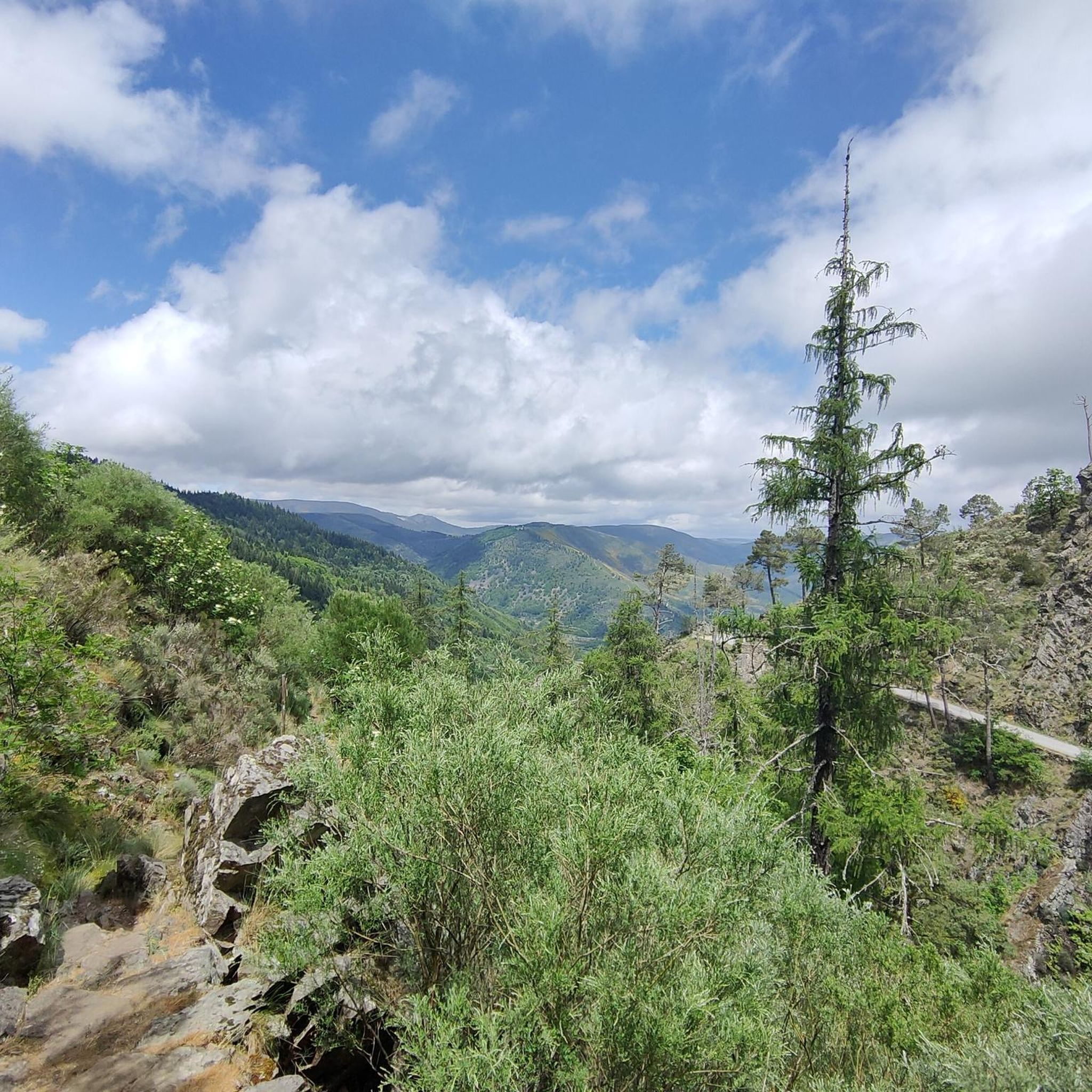
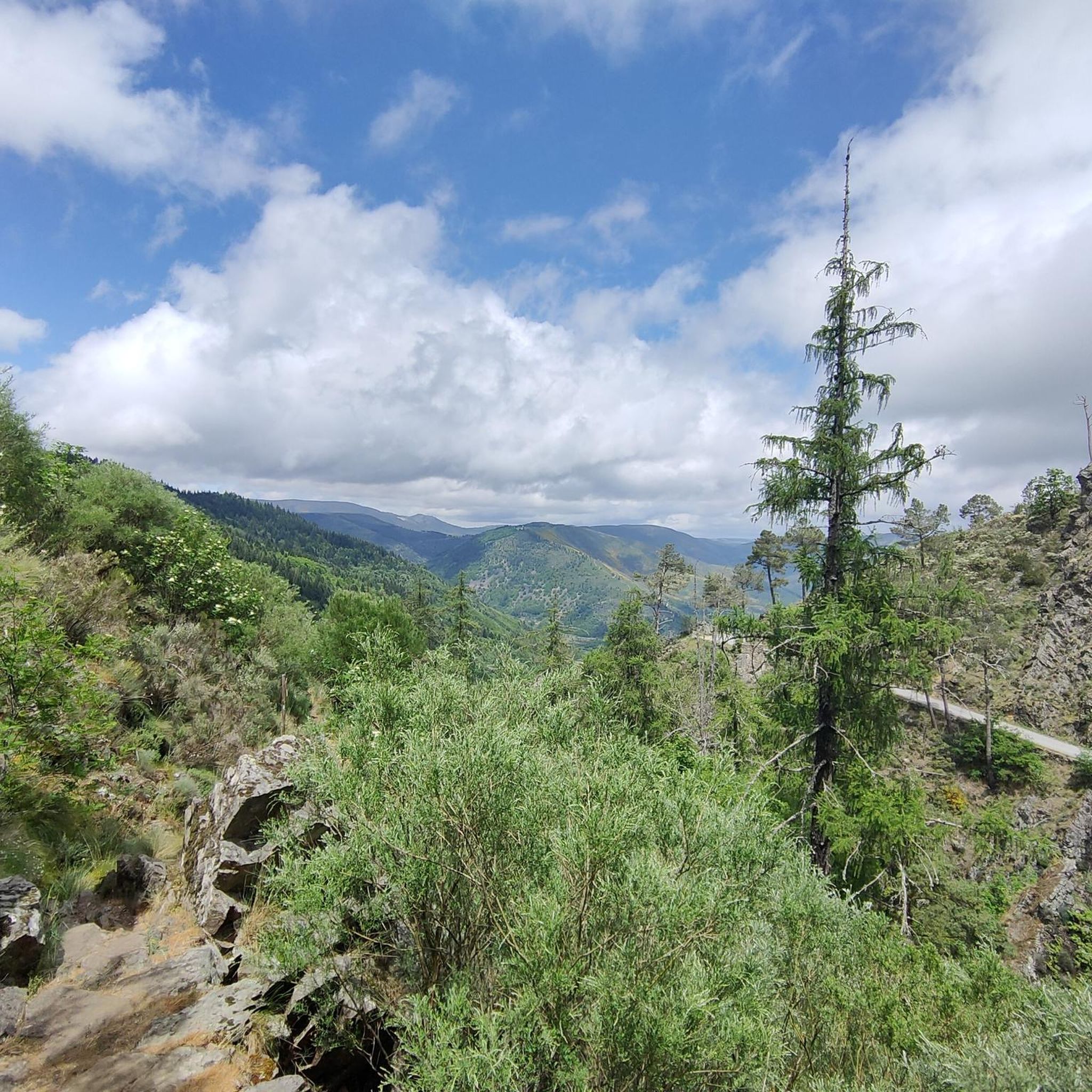
Road cycling routes around Aldeia Do Souto are characterized by varied terrain, situated at the foot of the Serra dos Barreiros Brancos and near the Serra da Estrela Nature Park. The region features elevated locations offering panoramic views, alongside river valleys carved by the Rio Tordo and Rio Zêzere. This landscape provides a mix of challenging ascents and descents, as well as sections along water bodies. The area combines natural features with historical villages, making it suitable for diverse road…
Last updated: July 11, 2026
4.0
(1)
130
riders
87.0km
05:19
2,070m
2,070m
Hard road ride. Very good fitness required. Mostly well-paved surfaces and easy to ride.
34
riders
70.7km
03:38
1,180m
1,180m
Hard road ride. Very good fitness required. Some segments of this route may be unpaved and difficult to ride.

Sign up for free
27
riders
53.8km
02:34
640m
640m
Moderate road ride. Good fitness required. Mostly well-paved surfaces and easy to ride.
21
riders
80.2km
03:58
1,070m
1,070m
Hard road ride. Very good fitness required. Mostly well-paved surfaces and easy to ride.
18
riders
54.1km
02:46
810m
810m
Moderate road ride. Good fitness required. Mostly well-paved surfaces and easy to ride.
Get access to more routes and recommendations from other explorers.
Sign up for free
Already have an account?
Our route recommendations are based on thousands of hikes, rides, and runs completed by other people on komoot.
Start today with a free account
Your next adventure awaits.
Login or Signup


Tips from the Community


Cântaro Magro is one of the "commonplaces" of the Serra da Estrela mountain range, whose summit rises to 1928 m altitude, deserving a visit at any time of year. Viewed from west to east, its silhouette resembles a pitcher. In summer, its rocky face is interrupted by small terraces of soil, where some of the rarest botanical jewels of the mountain range grow. In winter, it is covered in snow and ice which, as they melt, form ephemeral waterfalls. These recall the overflowing liquid from the pitchers carried on the heads of women when, in the past, they went to the fountains. #CISE #VisitSeia #ParqueNaturaldaSerradaEstrela
0
0

Sabugal Castle is one of the most imposing and well-preserved medieval fortifications in Portugal. It is known as the "Castle of the Five Corners" due to the unusual shape of its impressive pentagonal keep, the castle's most iconic feature. Its pentagonal (five-cornered) plan is considered unique in Portuguese military architecture. It is approximately 30 meters high and offers incredible views. The castle has a double ring of walls. You can walk along the ramparts on top of the walls for a panoramic view over the city and the Côa River. From the top, you can see the Côa River winding its way through the city and the natural landscape of the Serra da Malcata mountain range.
1
0
Sabugal, a town that deserves a visit to its castle and the entire surrounding area, especially the magnificent river beach on the Côa River.
1
0

Offering breathtaking views of the southeastern slopes of the Serra da Estrela, Cova da Beira, and the charming city of Covilhã, the Varanda dos Carqueijais, which rises 1,130 meters above sea level, is a stunning suspended viewpoint, magnificently perched in the heart of the surrounding natural landscape. The suspended walkway was the best way to provide an excellent experience for visitors, creating a kind of amphitheater, a balcony overlooking the inspiring natural landscape. This viewpoint is an integral part of the viewpoint route, developed by the Municipality of Covilhã, with the aim of promoting the region's natural heritage.
0
0

In the heart of the Serra da Estrela Natural Park, Valhelhas River Beach transforms the young course of the Zêzere into a haven of freshness and leisure. Between mountains and generous shade, this space has everything for a perfect day: clear waters, good infrastructure, and a setting that invites you to forget about the clock. In summer, the music sometimes extends the party into the night, attracting those who can't resist the charm of a river still in its infancy, but already full of life and stories to tell.
2
0
Valhelhas was born among verdant hills, sheltered in the sunny Zêzere valley. Today, it's synonymous with perfect summer: one of the largest river beaches in Beira Interior, with crystal-clear waters, generous shade, and all the support for leisurely days. But the village of this "small valley," a translation of Vallicula, its Roman name, holds more than just freshness: from the 16th-century pillory to the Philippine Bridge, passing through chapels, a church, and the ruins of the old castle, every corner tells a piece of history. And, of course, there are flavors worth the trip in any season: goat, Guarda sausages, Zêzere trout, requeijão (curd cheese), and the unmistakable Serra da Estrela cheese.
2
0
Among the secret corners of Portugal, the Côa River is a discreet treasure. It rises in Fóios and flows through valleys and hills until it joins the Douro River in Vila Nova de Foz Côa. Even here, where it flows gently and seems like just a trickle, the valley reveals all its magic. It's the ideal place to rest for a moment, cool your feet, and let yourself be enveloped by the river's serenity before resuming your journey.
2
0
Frequently Asked Questions
How many road cycling routes are available around Aldeia Do Souto?
There are over 20 road cycling routes documented on komoot for the Aldeia Do Souto region, offering a diverse range of experiences for cyclists.
Are there any easy road cycling routes suitable for beginners or families in Aldeia Do Souto?
While the region is known for its varied terrain, many routes around Aldeia Do Souto are classified as moderate or difficult. Currently, there are no routes specifically marked as 'easy' for road cycling, but some moderate routes might be manageable for experienced families or beginners looking for a challenge. Always check the route details for elevation and distance before you go.
What kind of terrain can I expect on road cycling routes in Aldeia Do Souto?
Road cycling routes in Aldeia Do Souto feature a mix of mountainous terrain, with challenging ascents and descents, especially near the Serra da Estrela Nature Park and Serra dos Barreiros Brancos. You'll also find sections winding through scenic river valleys carved by the Rio Tordo and Rio Zêzere, offering varied landscapes and cycling experiences.
Are there long-distance road cycling options for experienced riders?
Yes, Aldeia Do Souto offers several long-distance routes. For example, the Cântaro Magro – Serra da Estrela loop from Belmonte is a challenging 86.9 km (54.0 miles) route with significant elevation gain, perfect for experienced cyclists seeking an endurance ride.
What are some notable viewpoints or scenic spots along the road cycling routes?
The region is rich in panoramic views. Many routes offer vistas of the surrounding mountains and valleys. Specific highlights include the São Lourenço Viewpoint and the View of Manteigas. The village of Aldeia do Souto itself, with its elevated position, provides breathtaking vistas after climbs.
Can I find circular road cycling routes in the Aldeia Do Souto area?
Yes, many of the road cycling routes around Aldeia Do Souto are designed as loops, allowing you to start and finish in the same location. An example is the Belmonte Historic Village – Sabugal Castle loop from Belmonte - Manteigas, which covers 80.2 km.
What historical or cultural attractions can I explore while road cycling in the region?
The region offers a rich historical and cultural experience. You can cycle past the Belmonte Historic Village, known for its castle and Jewish heritage. Aldeia do Souto itself boasts historical patrimony, including a castle and the Pelourinho de Souto. These sites provide interesting stops and cultural immersion during your ride.
Are there any routes that pass by waterfalls or natural monuments?
Yes, some routes will bring you close to impressive natural features. You might encounter the Hidden cascade at Poço do Inferno or The Road to Hell's Pit, both notable waterfalls in the area. The region also features other natural monuments like the View of Hornfels Peaks within the Parque Natural da Serra da Estrela.
What is the best time of year for road cycling in Aldeia Do Souto?
The region's diverse landscapes, including mountainous areas, suggest that spring and autumn would be ideal for road cycling. During these seasons, temperatures are generally milder, and the natural scenery is particularly vibrant, making for more comfortable and enjoyable rides. Summer can be hot, especially in the valleys, while winter might bring colder temperatures and potential for snow at higher elevations.
What do other road cyclists enjoy most about the routes in Aldeia Do Souto?
The road cycling routes around Aldeia Do Souto are highly rated by the komoot community, with an average score of 4.5 stars. Cyclists often praise the challenging mountainous terrain, the rewarding panoramic views, and the opportunity to combine physical activity with cultural exploration of historic villages.
Are there moderate difficulty road cycling routes available?
Yes, out of the 21 routes, 11 are classified as moderate. An example is the Valhelhas – Central Restaurant, Manteigas loop from Gonçalo, a 53.3 km (33.1 miles) route that offers varied terrain without the extreme challenges of the most difficult climbs.
Can I find routes that follow river valleys?
Absolutely. The presence of rivers like the Rio Tordo and the Rio Zêzere means many routes incorporate sections along these river valleys. These areas often provide a different cycling experience, potentially with flatter stretches or gradual ascents and descents alongside the water, contrasting with the more intense mountain climbs.
Most popular routes around Aldeia Do Souto
Most popular attractions around Aldeia Do Souto

Get inspired with the komoot mobile app


Explore more
Browse the best Road cycling routes in other regions.
