The best road cycling routes around Sarzedo
4.8
(28)
1,496
riders
18
rides
Road cycling routes around Sarzedo are characterized by a landscape of undulating hills and valleys, typical of the Atlantic Forest biome in Minas Gerais, Brazil. The region offers varied topography with elevations ranging from 767 meters to over 1000 meters in some areas. This diverse terrain provides opportunities for rides incorporating both climbs and descents. The area features natural beauty with diverse flora and fauna, contributing to scenic backdrops for road cyclists.
Best road cycling routes around Sarzedo
- The most…
Last updated: July 8, 2026
4.0
(1)
130
riders
87.0km
05:19
2,070m
2,070m
Hard road ride. Very good fitness required. Mostly well-paved surfaces and easy to ride.
92
riders
Hard road ride. Very good fitness required. Mostly well-paved surfaces and easy to ride.

Sign up for free
4.0
(1)
38
riders
92.4km
05:19
2,140m
2,140m
Hard road ride. Very good fitness required. Mostly well-paved surfaces and easy to ride.
34
riders
70.7km
03:38
1,180m
1,180m
Hard road ride. Very good fitness required. Some segments of this route may be unpaved and difficult to ride.
27
riders
53.8km
02:34
640m
640m
Moderate road ride. Good fitness required. Mostly well-paved surfaces and easy to ride.
Get access to more routes and recommendations from other explorers.
Sign up for free
Already have an account?
Our route recommendations are based on thousands of hikes, rides, and runs completed by other people on komoot.
Start today with a free account
Your next adventure awaits.
Login or Signup
Tips from the Community

Cântaro Magro is one of the "commonplaces" of the Serra da Estrela mountain range, whose summit rises to 1928 m altitude, deserving a visit at any time of year. Viewed from west to east, its silhouette resembles a pitcher. In summer, its rocky face is interrupted by small terraces of soil, where some of the rarest botanical jewels of the mountain range grow. In winter, it is covered in snow and ice which, as they melt, form ephemeral waterfalls. These recall the overflowing liquid from the pitchers carried on the heads of women when, in the past, they went to the fountains. #CISE #VisitSeia #ParqueNaturaldaSerradaEstrela
0
0

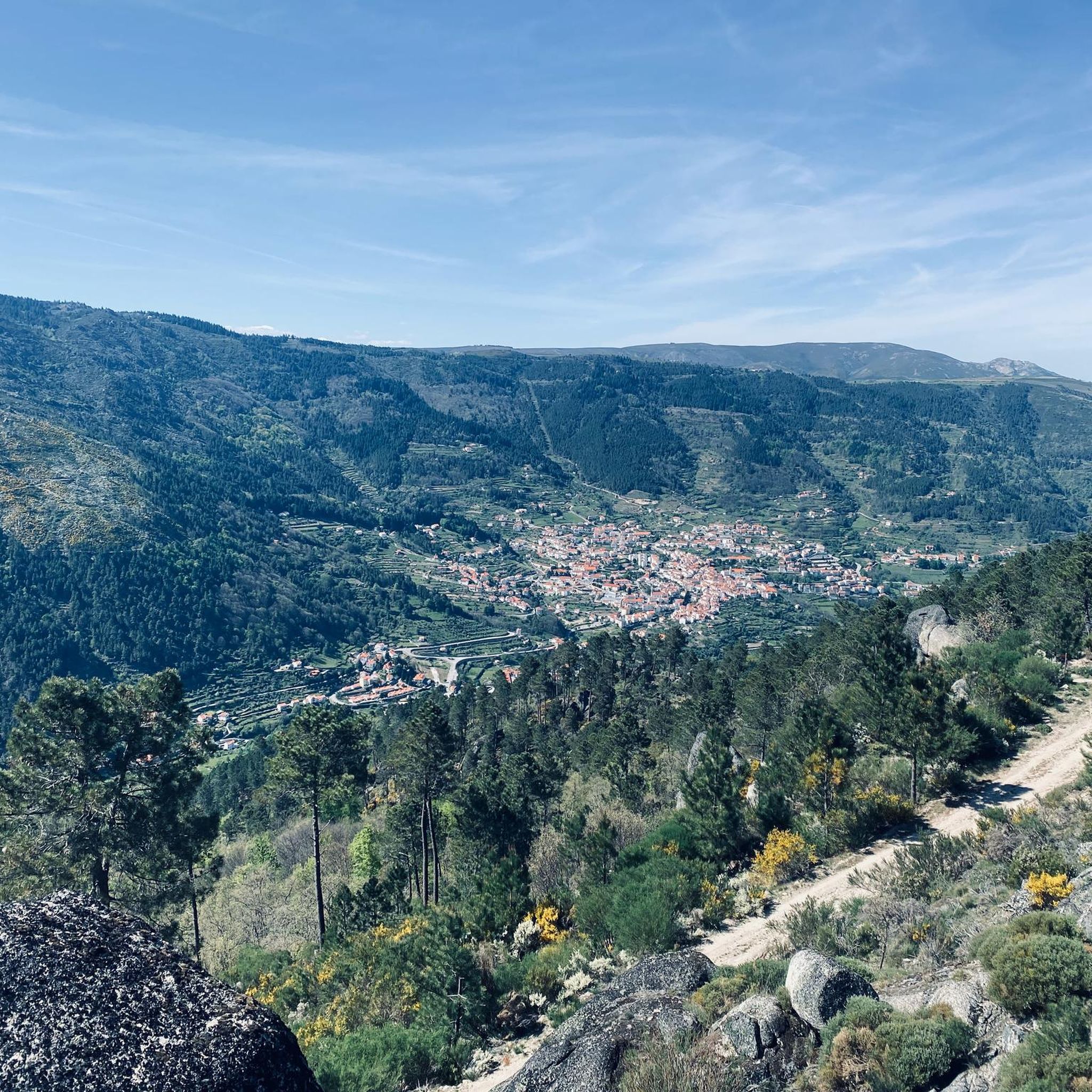
Offering breathtaking views of the southeastern slopes of the Serra da Estrela, Cova da Beira, and the charming city of Covilhã, the Varanda dos Carqueijais, which rises 1,130 meters above sea level, is a stunning suspended viewpoint, magnificently perched in the heart of the surrounding natural landscape. The suspended walkway was the best way to provide an excellent experience for visitors, creating a kind of amphitheater, a balcony overlooking the inspiring natural landscape. This viewpoint is an integral part of the viewpoint route, developed by the Municipality of Covilhã, with the aim of promoting the region's natural heritage.
0
0


Valhelhas was born among verdant hills, sheltered in the sunny Zêzere valley. Today, it's synonymous with perfect summer: one of the largest river beaches in Beira Interior, with crystal-clear waters, generous shade, and all the support for leisurely days. But the village of this "small valley," a translation of Vallicula, its Roman name, holds more than just freshness: from the 16th-century pillory to the Philippine Bridge, passing through chapels, a church, and the ruins of the old castle, every corner tells a piece of history. And, of course, there are flavors worth the trip in any season: goat, Guarda sausages, Zêzere trout, requeijão (curd cheese), and the unmistakable Serra da Estrela cheese.
2
0

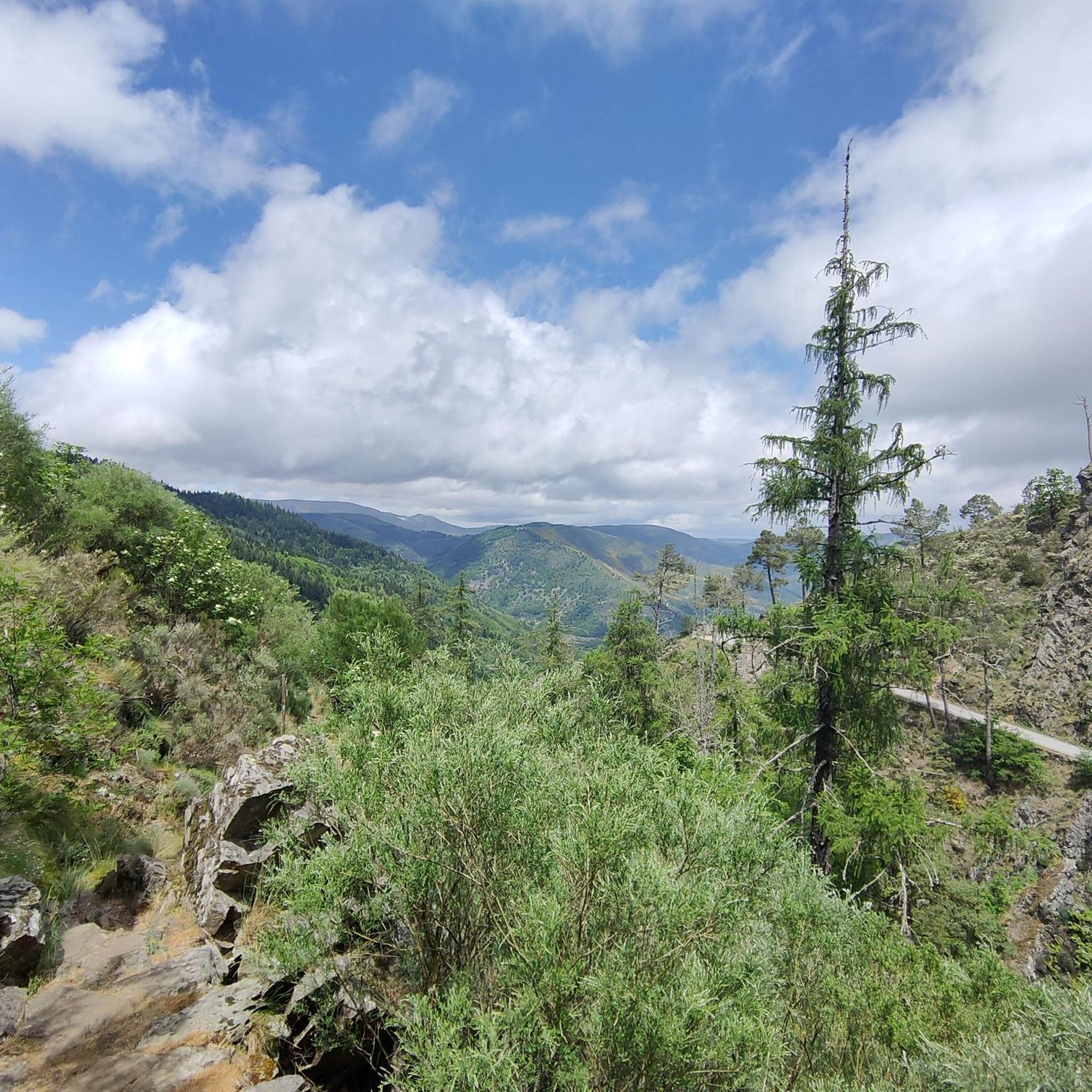
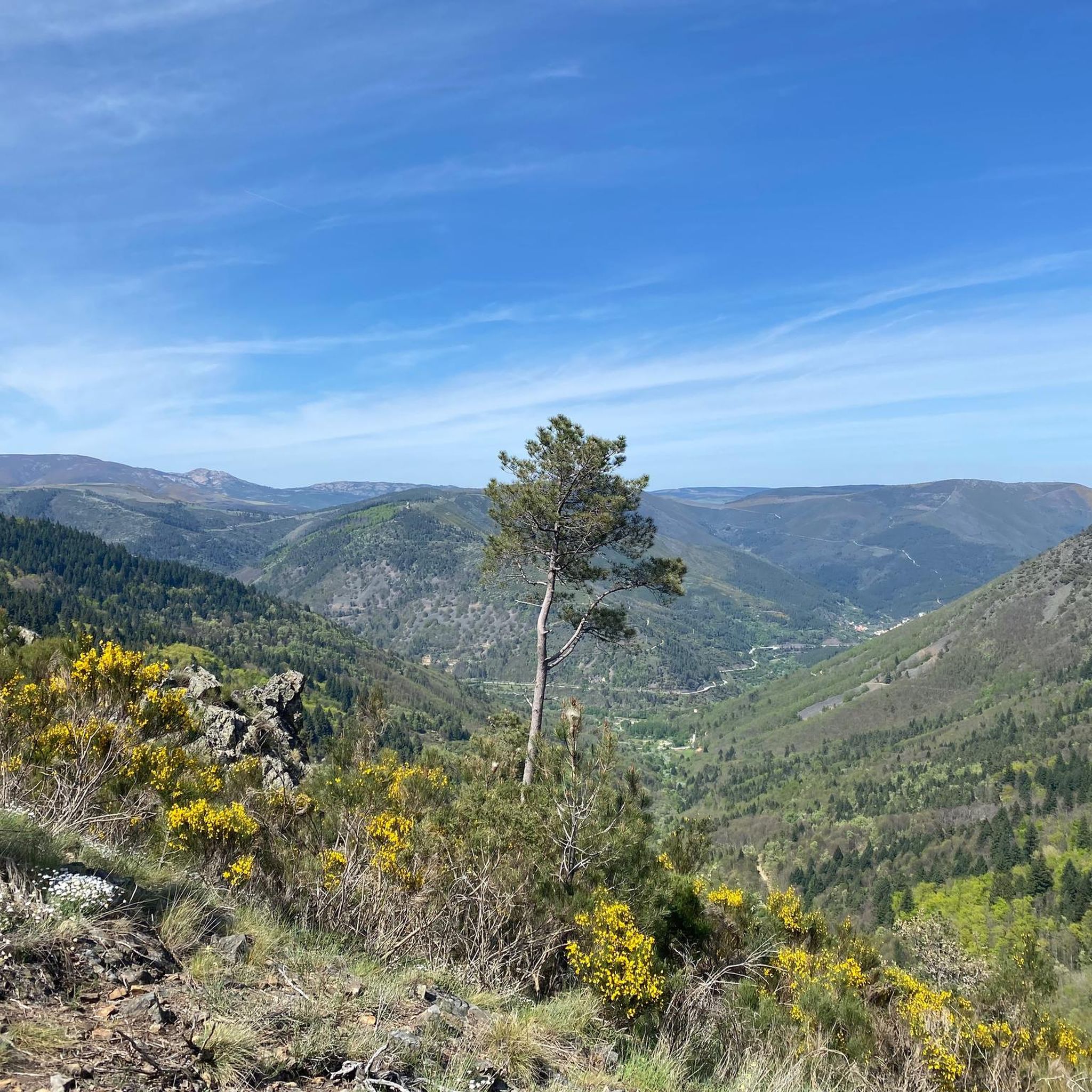
The Serra da Estrela Natural Park is something truly special. This 1,000-square-kilometer park, spread across six municipalities, was the first and currently the largest protected natural park in Portugal. It is home to the highest point on the Portuguese mainland, the country's only ski slope, the source of two important rivers, and a fascinating, alpine-like landscape formed by glaciers.
5
1
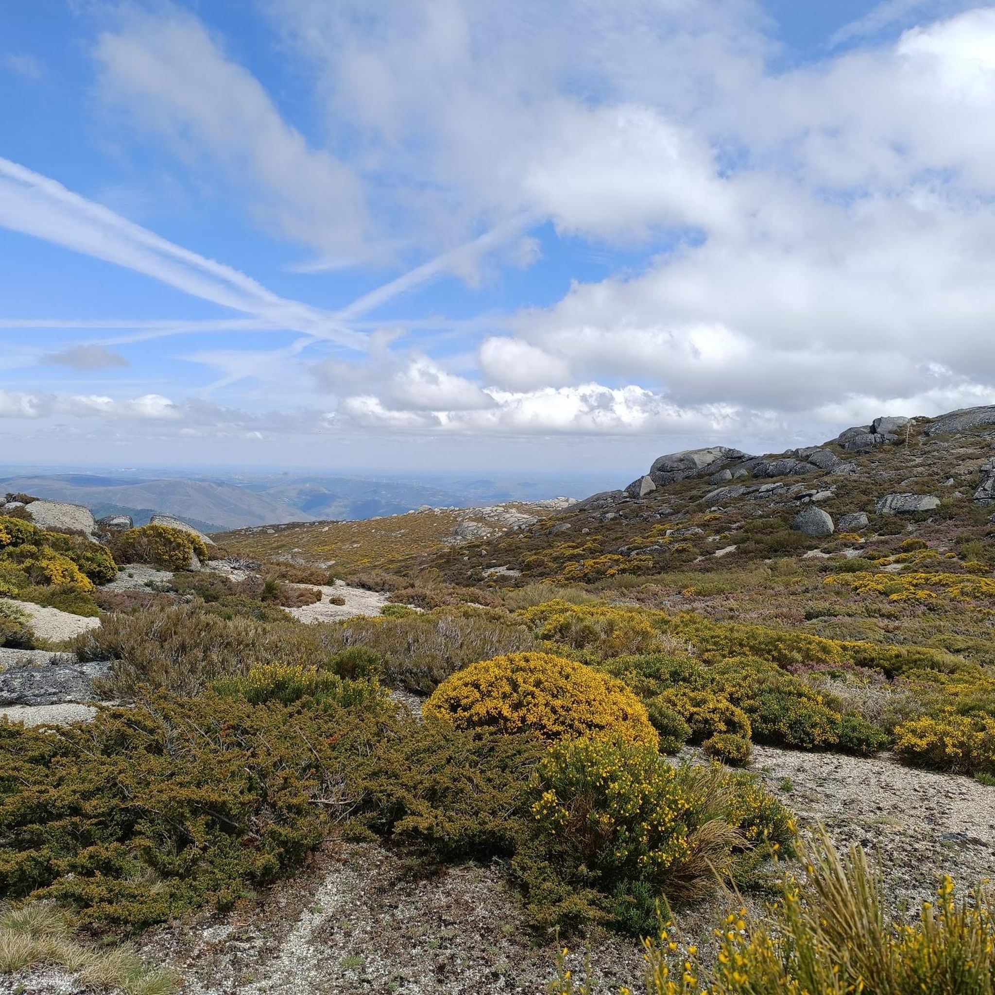
At exactly 1993 meters above sea level, Torre is the highest point in mainland Portugal, where the only ski resort is located. The landscape on the upper plateau of the Serra da Estrela is like a sprinkling of granite rocks over low scrub and patches of snow and ice, which the sun threatens to melt soon in the summer and which always returns the following winter. In winter, it sometimes becomes inaccessible.
6
0

Historic site, with several possibilities for cycling tours.
0
0
Frequently Asked Questions
What kind of terrain can I expect when road cycling around Sarzedo?
Sarzedo is characterized by a landscape of undulating hills and valleys, typical of the Atlantic Forest biome. You'll encounter varied topography with elevations ranging from 767 meters to over 1000 meters in some areas, providing opportunities for rides that incorporate both challenging climbs and exhilarating descents.
How many road cycling routes are available in Sarzedo?
There are 18 road cycling routes around Sarzedo documented on komoot. These routes offer a mix of challenges, with 11 classified as moderate and 7 as difficult.
What do other cyclists say about road cycling in Sarzedo?
The road cycling routes in Sarzedo are highly rated by the komoot community, with an average score of 4.7 stars from over 26 reviews. More than 1,400 road cyclists have used komoot to explore the varied terrain, often praising the scenic backdrops and diverse topography.
Are there any scenic viewpoints along the road cycling routes in Sarzedo?
Yes, the higher elevations and rolling hills in and around Sarzedo offer panoramic views of the surrounding countryside. You can find stunning vistas such as São Lourenço Viewpoint and Ancient Oaks, View of Covilhã from Curral do Vento, and View of Hornfels Peaks, Parque Natural da Serra da Estrela, which provide rewarding stops after climbs.
Can I see waterfalls while road cycling in Sarzedo?
While the region is rich in natural beauty, featuring clear rivers and springs, the Santa Rosa de Lima waterfall within the Parque Natural Municipal Cachoeira de Sarzedo is primarily for viewing. You can also find highlights like the Hidden cascade at Poço do Inferno and The Road to Hell's Pit, which are natural monuments in the area.
Are there any historical sites or places of interest near the road cycling routes?
Yes, near Sarzedo, you can explore the Belmonte Historic Village, which offers a glimpse into the region's heritage. These cultural points can make for interesting detours or post-ride explorations.
What is the longest road cycling route in Sarzedo?
The longest road cycling route is the Torre (Serra da Estrela) – Serra da Estrela loop from Site of Community Importance Serra da Estrela, spanning 91.1 miles (146.6 km). This difficult path includes substantial climbing, offering a challenging experience for experienced cyclists.
What is a popular challenging road cycling route in the area?
A popular challenging route is the Cântaro Magro – Serra da Estrela loop from Belmonte. This 53.9-mile (86.9 km) difficult trail features significant elevation gain and typically takes around 5 hours and 18 minutes to complete.
Are there any moderate road cycling routes for those seeking a less intense ride?
While many routes are challenging, there are 11 moderate routes available. An example of a moderate route is the Valhelhas – Central Restaurant, Manteigas loop from Gonçalo, which covers 53.2 miles (85.7 km) and offers a less strenuous experience compared to the difficult climbs.
What natural features can I explore near the cycling routes?
The region is part of the lush Atlantic Forest biome, offering diverse flora and fauna. The Parque Natural Municipal Cachoeira de Sarzedo is a preserved area with trails and green spaces, providing opportunities to enjoy nature and explore the rich biodiversity surrounding the cycling routes.
Is Sarzedo suitable for road cyclists looking for significant elevation changes?
Absolutely. Sarzedo's diverse topography, with altitudes varying significantly and some areas climbing to between 1000 and 1350 meters, makes it an excellent setting for road cycling with substantial elevation changes. Routes like the O Berenxido Bar & Sandwiches – Folgosinho loop from Site of Community Importance Serra da Estrela, with over 2100 meters of ascent, are perfect for those seeking climbs.
Most popular routes around Sarzedo
Most popular attractions around Sarzedo

Get inspired with the komoot mobile app


Explore more
Browse the best Road cycling routes in other regions.
