The best road cycling routes around Lavacolhos
4.7
(3)
262
riders
8
rides
Road cycling around Lavacolhos offers a diverse landscape characterized by rolling hills, river valleys, and varied terrain suitable for different skill levels. The region features significant elevation changes, providing challenging climbs and rewarding descents. Road cyclists can explore routes that traverse open countryside and pass through local villages. The area's geography supports both moderate and difficult road cycling experiences.
Best road cycling routes around Lavacolhos
- The most popular road cycling route is Roadbike loop from Fundão, a 23.0 miles…
Last updated: July 8, 2026
35
riders
37.1km
01:39
360m
360m
Moderate road ride. Good fitness required. Mostly well-paved surfaces and easy to ride.
23
riders
82.2km
04:06
1,180m
1,180m
Hard road ride. Very good fitness required. Some segments of this route may be unpaved and difficult to ride.

Sign up for free
4.0
(1)
21
riders
52.1km
02:52
1,020m
1,020m
Hard road ride. Very good fitness required. Some segments of this route may be unpaved and difficult to ride.
19
riders
49.4km
02:32
770m
770m
Moderate road ride. Good fitness required. Mostly well-paved surfaces and easy to ride.
5.0
(1)
16
riders
101km
04:54
1,230m
1,230m
Hard road ride. Very good fitness required. Mostly well-paved surfaces and easy to ride.
Get access to more routes and recommendations from other explorers.
Sign up for free
Already have an account?
Our route recommendations are based on thousands of hikes, rides, and runs completed by other people on komoot.
Start today with a free account
Your next adventure awaits.
Login or Signup
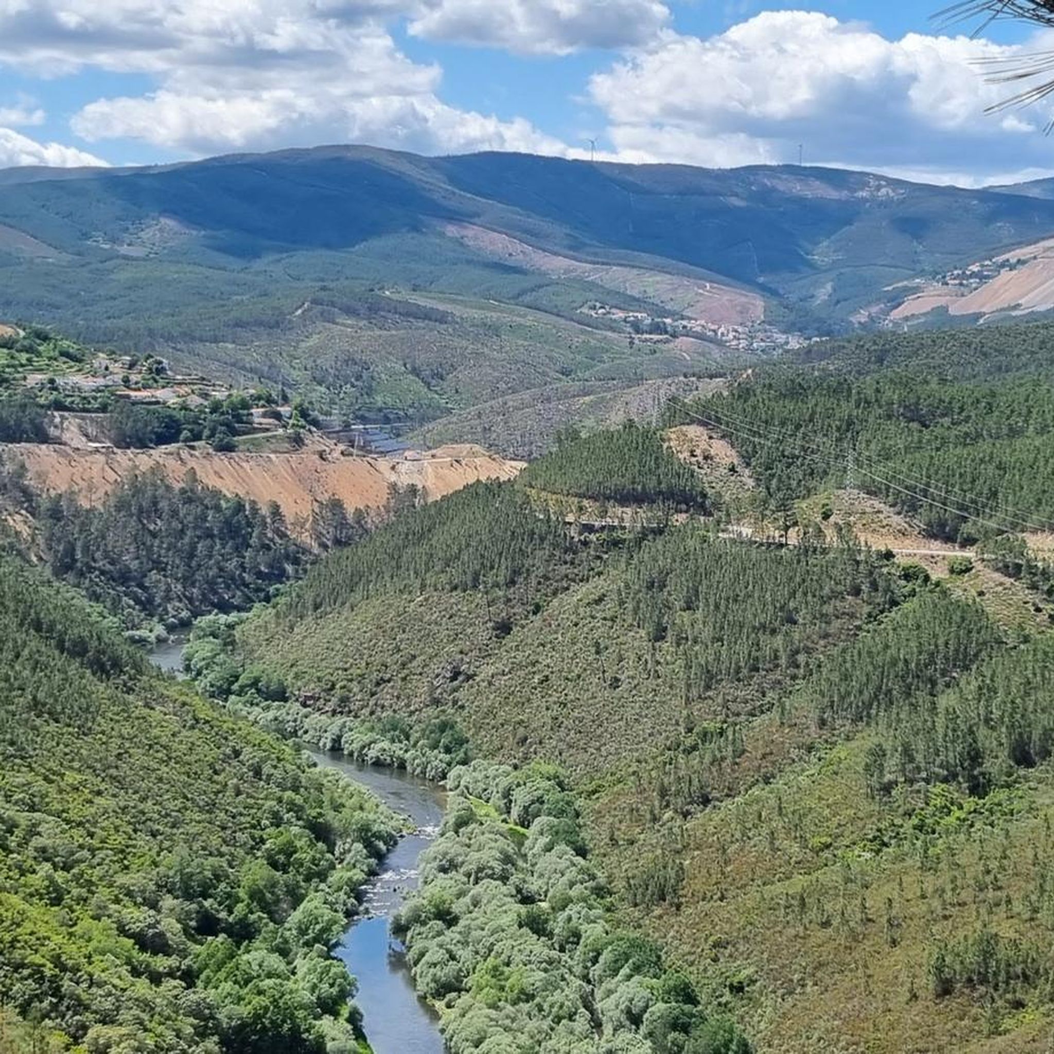
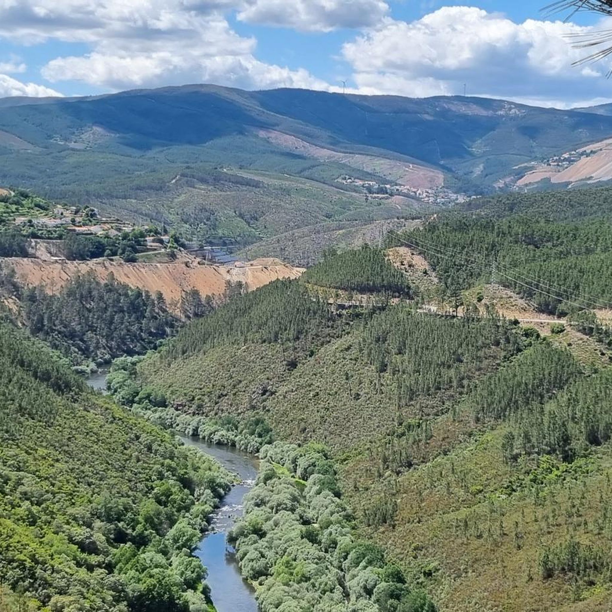
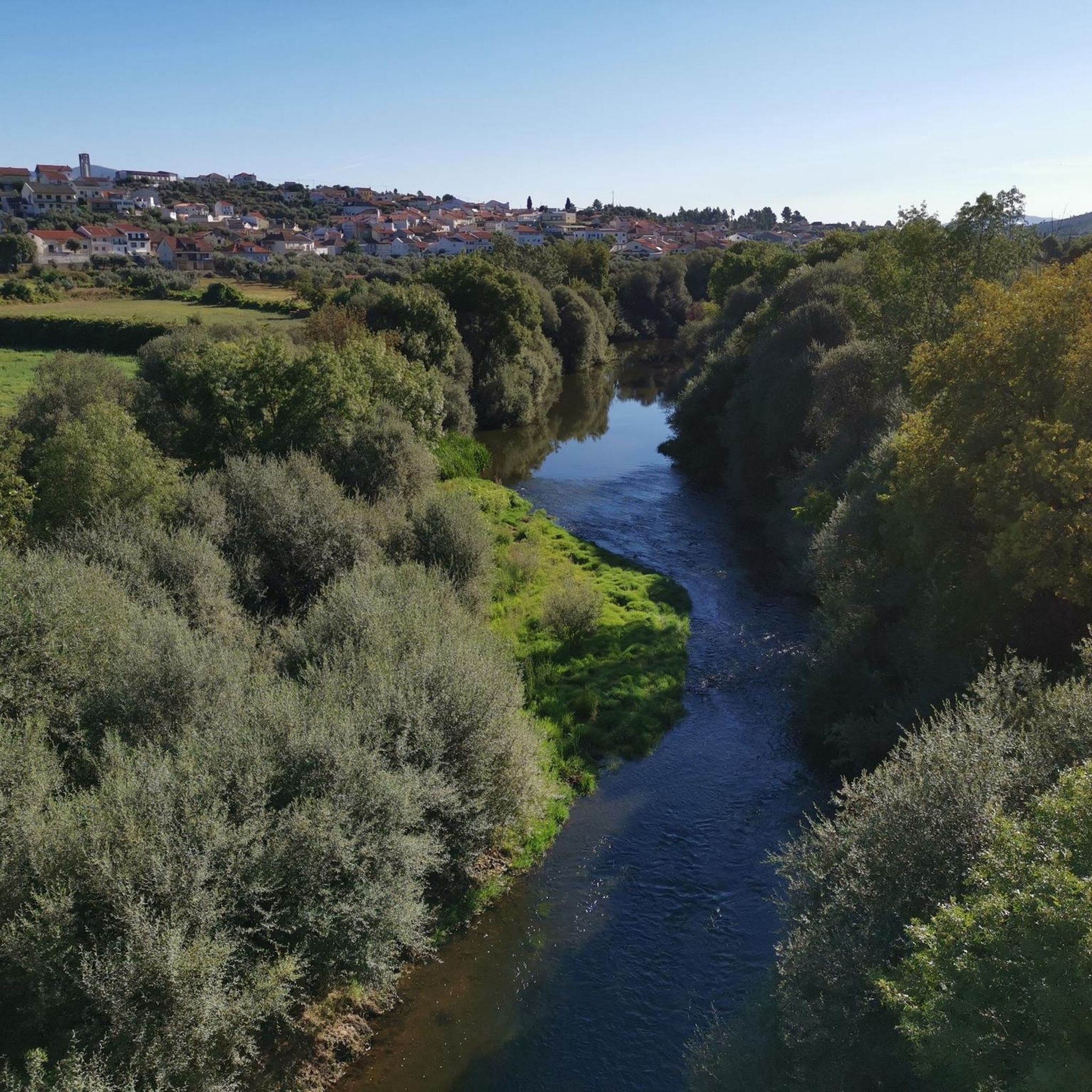
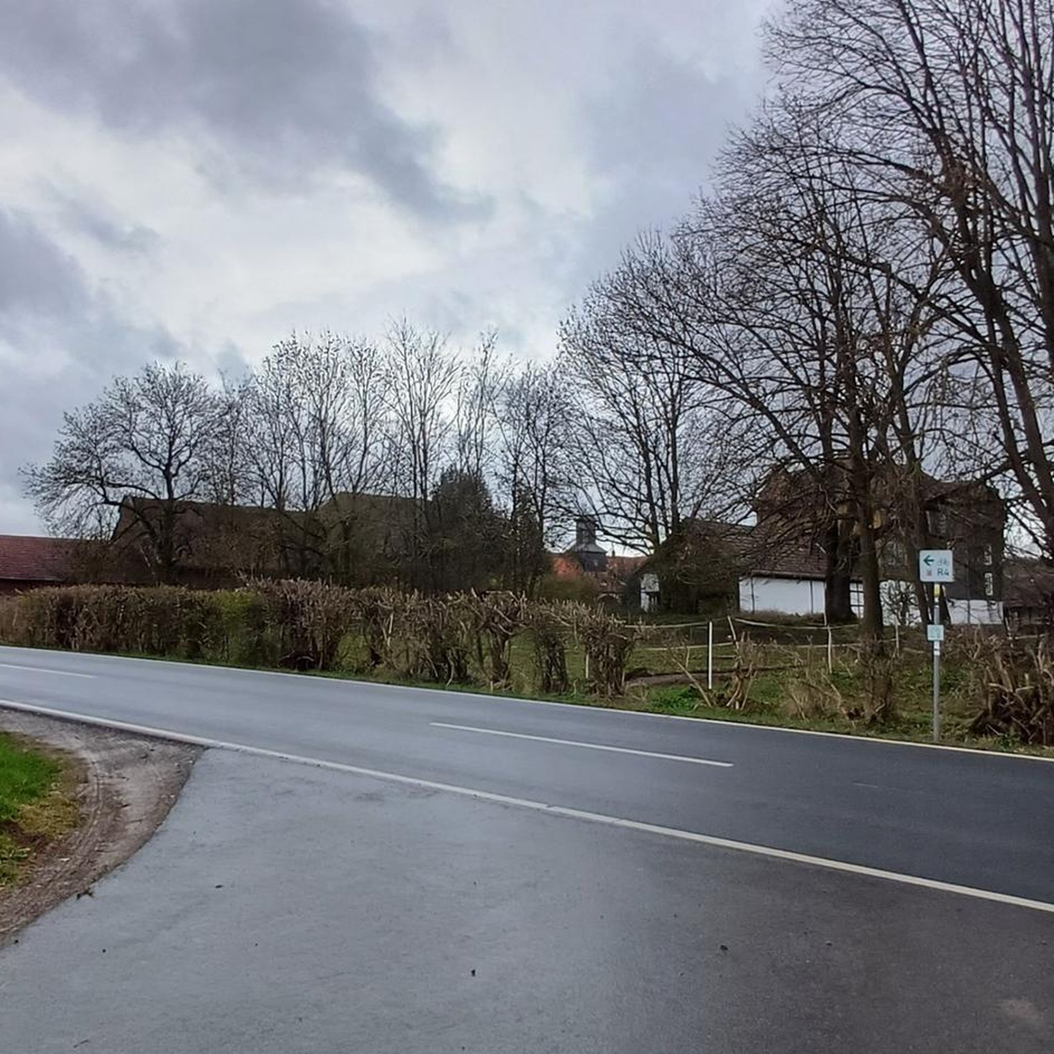
Tips from the Community

From the viewpoint you can see: The historic center of Castelo Branco, The São Águeda Reservoir (Marateca), The southern foothills of the Serra da Gardunha, The Serra da Estrela and Monte de São Martinho, On clear days, even the border with Spain (“a Raia”).
4
0
The Miradouro de São Gens, in Castelo Branco, Portugal, is a panoramic viewpoint that stands out for both its location and its history: It is located on Rua da Piscina, near Castelo Branco Castle, just 100–120 meters from the Church of Santa Maria do Castelo. Inaugurated in 1941, its structure was originally designed to conceal water tanks, and was later restored as part of the Polis program. Surrounded by flower gardens, benches, and shaded areas, it encourages rest and contemplation.
4
0

Offering breathtaking views of the southeastern slopes of the Serra da Estrela, Cova da Beira, and the charming city of Covilhã, the Varanda dos Carqueijais, which rises 1,130 meters above sea level, is a stunning suspended viewpoint, magnificently perched in the heart of the surrounding natural landscape. The suspended walkway was the best way to provide an excellent experience for visitors, creating a kind of amphitheater, a balcony overlooking the inspiring natural landscape. This viewpoint is an integral part of the viewpoint route, developed by the Municipality of Covilhã, with the aim of promoting the region's natural heritage.
0
0

São Vicente da Beira was founded in 1173, when King Afonso Henriques named it in honor of the saint's relics arriving in Lisbon. It received a charter in 1195 from King Sancho I, who wanted to repopulate these lands, nearly deserted after the Muslim invasions. Between renewed charters and stories of the nobles who lived here, the parish became one of the most important in the region, preserving the weight of its medieval memory to this day.
1
0

A treasure trove of legends and signs of ancient human occupation, the Serra da Argemela rises 756 meters, with primarily granitoid rocks that emerged hundreds of millions of years ago. These granites formed vein-like rocks with high concentrations of tin, contained in cassiterite, the main object of exploration in the Argemela mines in the mid-20th century. Recent studies indicate the presence of lithium concentrations.
0
0

The city of Covilhã boasts ancient streets that will lead you to stunning places! But you'll also find surprising sights, such as the award-winning Pedestrian Bridge over the Ribeira da Carpinteira, designed by the prestigious architect Carrilho da Graça. Travel + Leisure magazine named this bridge one of the most interesting design sites in the world.
0
0

The Jardim do Lago extends around the Lago da Sereia and is a well-kept green area with paths, benches and lush vegetation. Perfect for a break from cycling.
0
0
Frequently Asked Questions
What kind of terrain can I expect when road cycling around Lavacolhos?
Road cycling around Lavacolhos features a diverse landscape with rolling hills, river valleys, and varied terrain. You will encounter significant elevation changes, providing both challenging climbs and rewarding descents through open countryside and local villages.
How many road cycling routes are available in the Lavacolhos area?
There are 8 road cycling routes available around Lavacolhos on komoot, catering to various skill levels.
Are there road cycling routes suitable for beginners in Lavacolhos?
Yes, there is 1 easy road cycling route in Lavacolhos. While the region is known for its varied terrain, some routes offer a more gentle experience.
Where can I find challenging road cycling routes in Lavacolhos?
Lavacolhos offers several challenging routes for experienced cyclists. For instance, the View of the Zêzere River – Santuário do Paúl loop from Cabeço do Pião is a difficult 81.1 km path with substantial elevation gain. Another demanding option is the Roman Bridge – Jardim do Lago loop from Fundão, which also features significant climbs.
What are some typical distances and elevation gains for road cycling routes near Lavacolhos?
Routes in Lavacolhos vary significantly. Distances range from approximately 37 km, like the Roadbike loop from Fundão, up to 81 km for more challenging rides such as the View of the Zêzere River – Santuário do Paúl loop from Cabeço do Pião. Elevation gains can range from around 350 meters to over 1100 meters, depending on the route's difficulty.
Are there any family-friendly road cycling options in Lavacolhos?
While the region is characterized by rolling hills and significant elevation changes, the 1 easy route available might be suitable for families looking for a less strenuous ride. It's advisable to check the specific route details for elevation and traffic conditions to ensure it meets your family's needs.
What is the best time of year for road cycling in Lavacolhos?
The region's climate generally supports road cycling for much of the year. Spring and autumn often offer pleasant temperatures and less extreme weather, making them ideal. Summer can be warm, especially in the valleys, so early morning rides are recommended during hotter months.
Are there any loop road cycling trails in Lavacolhos?
Yes, many of the road cycling routes in Lavacolhos are designed as loops. Examples include the Roadbike loop from Fundão, the Chapel of the Holy Spirit loop from Fundão, and the View of the Zêzere River – Santuário do Paúl loop from Cabeço do Pião, allowing you to start and end at the same point.
What do other road cyclists enjoy the most about road cycling in Lavacolhos?
The road cycling experience in Lavacolhos is highly rated by the komoot community, with an average score of 4.7 stars from 4 reviews. Cyclists often praise the varied terrain, scenic views of the Zêzere River, and the balance of challenging climbs and rewarding descents through the region's open countryside and charming villages.
Are there any specific scenic viewpoints along the road cycling routes?
Yes, several routes offer notable scenic views. The View of the Zêzere River – Santuário do Paúl loop from Cabeço do Pião is specifically highlighted for its scenic views of the Zêzere River, providing picturesque landscapes during your ride.
Where are common starting points for road cycling routes in Lavacolhos?
Many routes around Lavacolhos start from nearby towns like Fundão or Cabeço do Pião. For example, the Roadbike loop from Fundão and the Chapel of the Holy Spirit loop from Fundão both begin in Fundão, while the View of the Zêzere River – Santuário do Paúl loop starts from Cabeço do Pião.
What is the overall difficulty level of road cycling in Lavacolhos?
Road cycling in Lavacolhos offers a range of difficulties. Out of 8 routes, there is 1 easy, 2 moderate, and 5 difficult routes. This means the region is particularly well-suited for cyclists looking for a challenge, but also provides options for those seeking a more relaxed ride.
Most popular routes around Lavacolhos

Get inspired with the komoot mobile app


Explore more
Browse the best Road cycling routes in other regions.
