The best road cycling routes around Silvares
56
riders
7
rides
Road cycling routes around Silvares are characterized by significant elevation changes and varied terrain, often following river valleys and ascending into hilly landscapes. The region features routes that traverse areas near the Zêzere River and include climbs towards points like Santuário do Paúl and Serra da Argemela. These paths offer challenging ascents and descents, making them suitable for experienced road cyclists. The landscape is defined by a mix of natural features and rural settings.
Best road cycling routes around Silvares
…Last updated: July 8, 2026
23
riders
82.2km
04:06
1,180m
1,180m
Hard road ride. Very good fitness required. Some segments of this route may be unpaved and difficult to ride.
6
riders
50.2km
02:51
1,080m
1,080m
Hard road ride. Very good fitness required. Some segments of this route may be unpaved and difficult to ride.

Sign up for free
6
riders
32.7km
01:36
460m
460m
Moderate road ride. Good fitness required. Mostly well-paved surfaces and easy to ride.
6
riders
59.9km
03:19
1,310m
1,310m
Hard road ride. Very good fitness required. Mostly well-paved surfaces and easy to ride.
5
riders
72.4km
03:33
1,040m
1,040m
Hard road ride. Very good fitness required. Mostly well-paved surfaces and easy to ride.
Get access to more routes and recommendations from other explorers.
Sign up for free
Already have an account?
Our route recommendations are based on thousands of hikes, rides, and runs completed by other people on komoot.
Start today with a free account
Your next adventure awaits.
Login or Signup
Popular around Silvares
Tips from the Community

Here, the trail winds along the Ribeira dos Boxinos, revealing levadas, dams, mills, and ancient stone bridges. The landscape in this area is a constant invitation to hike.
1
0
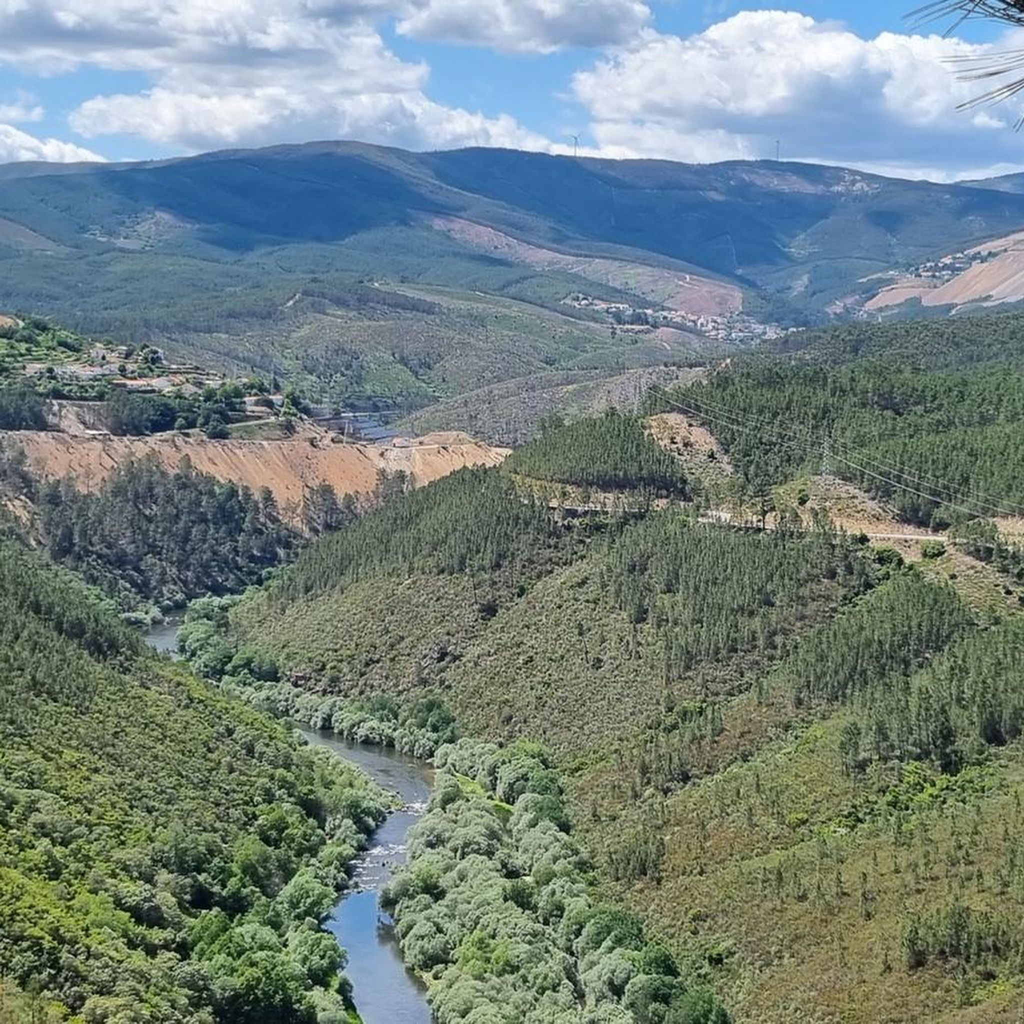
On the banks of the Zêzere River stands Dornelas do Zêzere, a land of memories and horizons. The Ethnographic Museum houses centuries-old utensils (from garlopas to limotes) and rare books that tell stories of times gone by. Nearby is a viewpoint, where the river view blends with engraved verses by Gil Vicente and Júlio Dias Nogueira, offering poetry to those who come to contemplate the landscape.
3
0

A treasure trove of legends and signs of ancient human occupation, the Serra da Argemela rises 756 meters, with primarily granitoid rocks that emerged hundreds of millions of years ago. These granites formed vein-like rocks with high concentrations of tin, contained in cassiterite, the main object of exploration in the Argemela mines in the mid-20th century. Recent studies indicate the presence of lithium concentrations.
0
0


This road offers you a suggestive panorama that embraces the artificial lake of the dam and the surrounding imposing and wild mountains.
0
0
The Jardim do Lago extends around the Lago da Sereia and is a well-kept green area with paths, benches and lush vegetation. Perfect for a break from cycling.
0
0
This road offers you a suggestive panorama that embraces the artificial lake of the dam and the surrounding imposing and wild mountains.
0
0

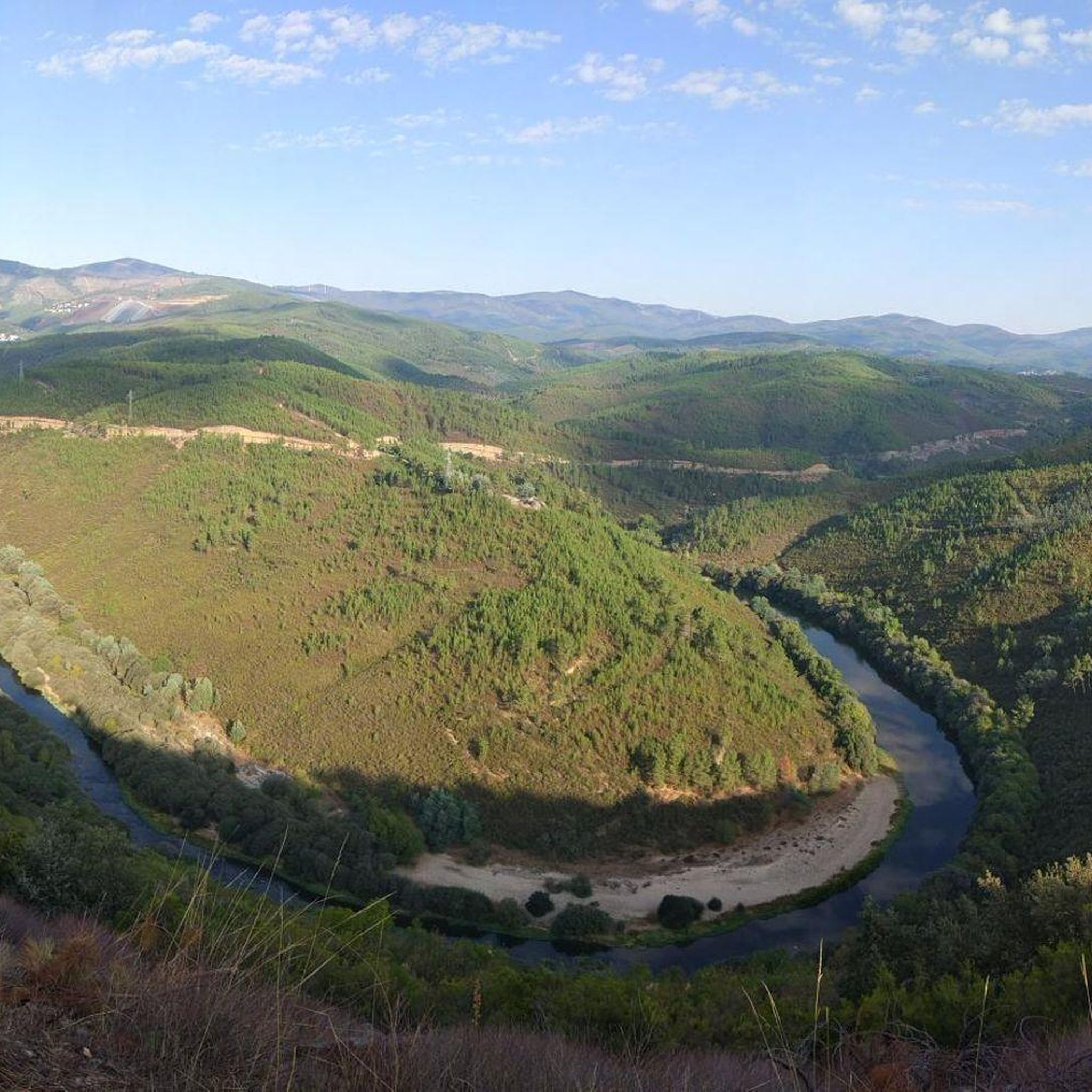
The Miradouro da Sarnadela is located at National 238 in the parish of Freguesia de Janeiro de Cima, a scenic place to enjoy the zigzag of the Zêzere River that passes through there, in addition to the surrounding pine forest landscape. It has a place to park the car off the road and a bench to relax and enjoy the scenery. The GPS coordinates are: 40.060346, -7.770206 or 40 ° 03’37.1 ″ N 7 ° 46’13.1 ″ W
1
0
Frequently Asked Questions
What is the general difficulty level of road cycling routes in Silvares?
Road cycling routes around Silvares are primarily characterized by significant elevation changes, making them generally challenging. The region offers 2 moderate and 5 difficult routes, suitable for cyclists with some experience looking for demanding ascents and descents.
Are there any road cycling routes suitable for beginners in Silvares?
The road cycling routes in Silvares are generally geared towards more experienced riders due to the challenging terrain and substantial climbs. There are no easy routes listed, with the majority being difficult and a few moderate. Beginners might find the elevation changes quite demanding.
What are some challenging road cycling routes for experienced riders in Silvares?
Experienced riders will find plenty of challenges in Silvares. Routes like the View of the Zêzere River – Santuário do Paúl loop from Cabeço do Pião (81.1 km with over 1100m elevation gain) or the Dornelas do Zêzere – Miradouro da Sarnadela loop from Barroca (59.9 km with over 1300m elevation gain) offer demanding ascents and descents through the region's hilly landscapes.
What are the typical distances of road cycling routes around Silvares?
The road cycling routes around Silvares vary in length, catering to different endurance levels. You can find routes ranging from shorter, moderate options like the Mural A Farrapeira – Serra da Argemela loop from Coutada at 32.7 km, to longer, more challenging rides such as the View of the Zêzere River – Santuário do Paúl loop from Cabeço do Pião which spans 81.1 km.
Are the road cycling routes around Silvares typically circular?
Yes, the road cycling routes around Silvares are predominantly designed as loops. This allows cyclists to start and finish at the same point, making logistics like parking more convenient. Examples include the View of the Zêzere River loop from Cabeço do Pião and the Mural A Farrapeira loop from Cortes Cruzamento.
When is the best time of year for road cycling in Silvares?
The best time for road cycling in Silvares is typically during spring (April to June) and autumn (September to October). During these months, the weather is generally milder and more pleasant, avoiding the intense heat of summer and the potentially wetter, cooler conditions of winter. This allows for more comfortable riding on the region's hilly terrain.
Are there suitable road cycling routes in Silvares during winter?
While road cycling is possible in winter, conditions in Silvares can be cooler and wetter, especially in the higher elevations. It's advisable to check local weather forecasts and road conditions before heading out. Routes at lower altitudes or those with less exposure might be more suitable, but always be prepared for variable weather.
What interesting places can I explore near the road cycling routes in Silvares?
Many routes offer glimpses of the region's rural charm and natural beauty. You can explore settlements like São Jorge da Beira, Dornelas do Zêzere, or Unhais-o-Velho. Some routes also pass by scenic spots, offering views of the Zêzere River or towards the Serra da Argemela.
Are there routes with notable viewpoints or scenic spots in Silvares?
Yes, several road cycling routes in Silvares offer stunning views. The region's hilly landscape and proximity to the Zêzere River provide many scenic opportunities. For instance, the View of the Zêzere River – Santuário do Paúl loop from Cabeço do Pião is known for its views of the Zêzere River, and routes traversing the Serra da Argemela also offer panoramic vistas.
What do other road cyclists enjoy the most about road cycling in Silvares?
Road cyclists using komoot often praise the challenging nature of the routes and the beautiful, varied landscapes. The significant elevation changes and rural settings, including views of the Zêzere River and climbs towards areas like Santuário do Paúl and Serra da Argemela, are frequently highlighted as key attractions for those seeking a rewarding ride.
How many road cycling routes are there in Silvares?
There are 7 road cycling routes available around Silvares, offering a range of experiences for cyclists. These include 2 moderate and 5 difficult routes, all designed to showcase the region's unique terrain and scenic beauty.
Most popular routes around Silvares
Most popular attractions around Silvares

Get inspired with the komoot mobile app


Explore more
Browse the best Road cycling routes in other regions.
