The best road cycling routes around Amieira
4.5
(2)
98
riders
18
rides
Road cycling around Amieira, located in Portugal's Alentejo region, offers tranquil routes through diverse landscapes. The area is characterized by expansive farmlands, traditional Alentejo villages, and open landscapes featuring olive groves. Cyclists can expect routes that traverse rolling terrain, providing views of green landscapes and historic towns. The region's physical features include gentle gradients in some areas, alongside more challenging ascents, making it suitable for varied road cycling experiences.
Best road cycling routes around Amieira
- The most popular road cycling…
Last updated: July 11, 2026
5.0
(1)
17
riders
63.5km
03:49
1,540m
1,540m
Hard road ride. Very good fitness required. Mostly well-paved surfaces and easy to ride.
16
riders
60.8km
03:38
1,470m
1,470m
Hard road ride. Very good fitness required. Mostly well-paved surfaces and easy to ride.

Sign up for free
9
riders
97.3km
05:34
2,210m
2,210m
Hard road ride. Very good fitness required. Mostly well-paved surfaces and easy to ride.
4.0
(1)
7
riders
56.8km
03:13
1,210m
1,210m
Hard road ride. Very good fitness required. Mostly well-paved surfaces and easy to ride.
7
riders
97.6km
05:37
2,200m
2,200m
Hard road ride. Very good fitness required. Some segments of this route may be unpaved and difficult to ride.
Get access to more routes and recommendations from other explorers.
Sign up for free
Already have an account?
Our route recommendations are based on thousands of hikes, rides, and runs completed by other people on komoot.
Start today with a free account
Your next adventure awaits.
Login or Signup
Popular around Amieira

Tips from the Community

The Ponte Real (or Ponte Velha) over the Ceira River is located in the village of Góis, being one of the historical ex-libris of the region. This medieval-style bridge, later reformed, is an important tourist attraction, crossing the Ceira River, a left-bank tributary of the Mondego River, which originates in the Serra do Açor. Location: Center of the village of Góis, facilitating pedestrian access. Characteristics: Imposing structure with stone arches, typical of crossing constructions from the monarchical period. Surroundings: The Ceira River, near this area, offers river beaches highly sought after during the summer, standing out for the quality of the water and tranquility. History: It is part of the built heritage from the Manueline/medieval period of the region.
1
0
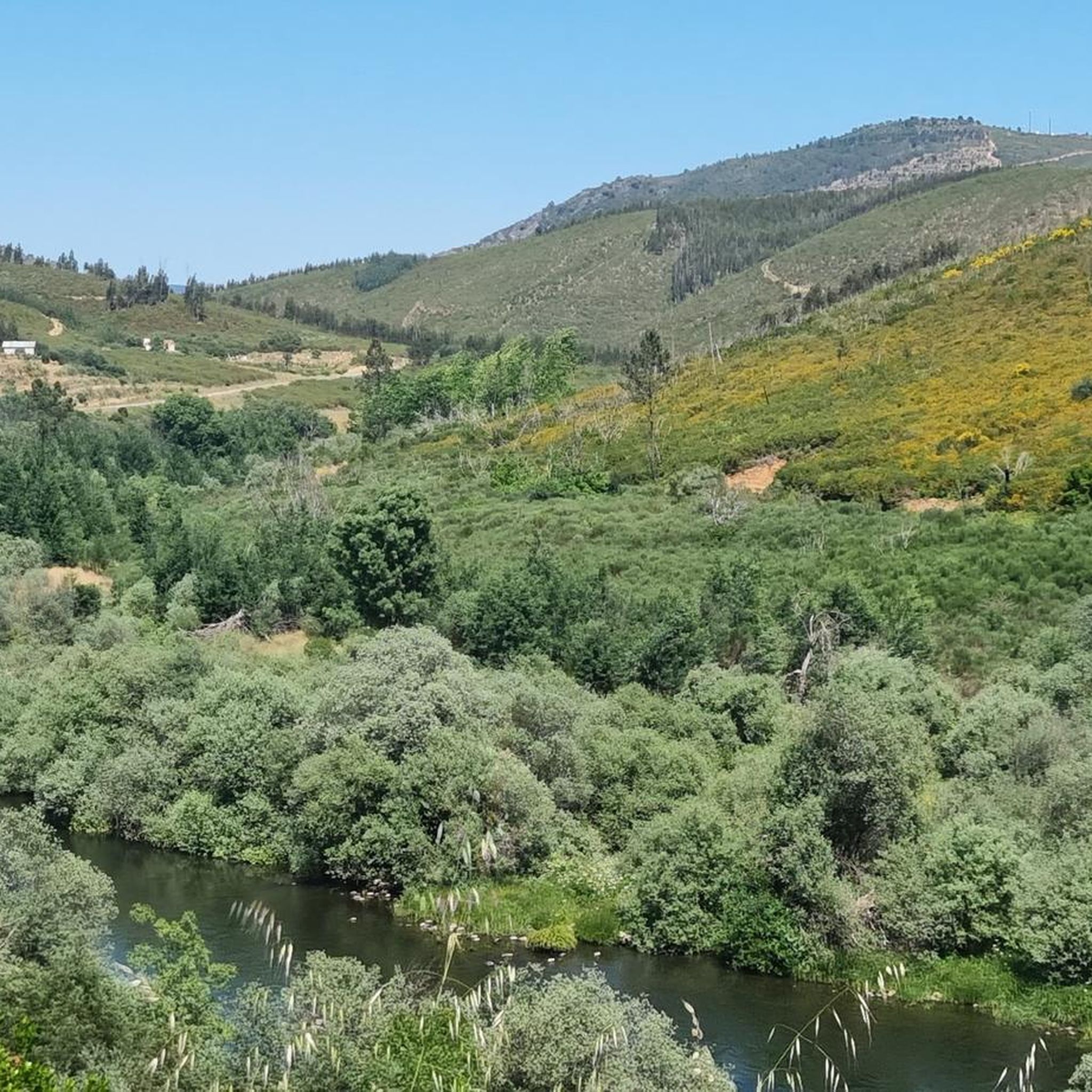
Pampilhosa da Serra, located in the district of Coimbra, is a destination marked by its unspoiled nature, river beaches, and iconic Schist Villages. The municipality is divided into 8 parishes and includes the Serra da Estrela-Açor and Serra da Lousã mountain ranges, offering mountain landscapes and a strong connection to the Zêzere River. 👍🥾
0
0

Impressive views going along the mountain ridge and along the massive wind turbines.
1
0
Frequently Asked Questions
How many road cycling routes are available around Amieira?
There are over 15 dedicated road cycling routes around Amieira, offering diverse experiences through the Alentejo region. These routes are primarily designed for experienced cyclists due to their difficulty.
What is the general difficulty level of road cycling routes in Amieira?
The road cycling routes around Amieira are generally considered difficult. They often feature significant elevation gains and cover substantial distances, making them suitable for experienced road cyclists seeking a challenge.
What kind of landscapes will I encounter while road cycling around Amieira?
You will cycle through a blend of tranquil landscapes, including expansive farmlands, traditional Alentejo villages, and open areas dotted with olive groves. The region is characterized by rolling terrain and green scenery, with views of historic towns and the Grande Lago Alqueva.
Are there any specific landmarks or attractions along the road cycling routes?
While cycling, you'll pass through traditional schist villages and enjoy views of the Alentejo landscape. For specific attractions, consider visiting the Fraga de Água d'Alta Waterfall or the Santa Luzia Dam, which are notable points of interest in the broader area.
Are there any circular road cycling routes available?
Yes, many of the road cycling routes around Amieira are designed as loops. For example, the Garden Fountain – Schist Village of Álvaro loop from Pampilhosa da Serra and the Garden Fountain – Schist Village of Álvaro loop from Milrico are popular circular options that explore the region's characteristic villages and farmlands.
What is the longest road cycling route in the Amieira area?
One of the longest routes is the Praia Fluvial de Álvares – Schist Village of Álvaro loop from Pampilhosa da Serra, which spans approximately 60.5 miles (97.3 km) and includes significant elevation gain, typically taking over 5 hours to complete.
Are there any easy or beginner-friendly road cycling routes?
The road cycling routes listed for Amieira are predominantly classified as difficult, featuring considerable distances and elevation changes. While the broader Alentejo region offers some gentle cycling routes, the specific routes detailed here are more suited for experienced cyclists.
What do other road cyclists enjoy most about cycling in Amieira?
Road cyclists frequently appreciate the tranquil nature of the routes, the scenic views of rolling farmlands and olive groves, and the opportunity to explore traditional Alentejo villages. The challenging terrain is also a draw for those seeking a demanding ride.
Can I find routes that pass by river beaches or water bodies?
Yes, some routes incorporate views of water bodies. For instance, the Praia Fluvial de Álvares – Schist Village of Álvaro loop from Pampilhosa da Serra passes by river beaches, offering a refreshing element to your ride. The region is also home to the Grande Lago Alqueva, providing beautiful lake views.
Are there any routes that explore historical or cultural sites?
Many routes wind through traditional Alentejo villages and historic towns, allowing you to experience the region's cultural heritage. The presence of schist villages, for example, offers a glimpse into the traditional way of life in this part of Portugal.
What is the elevation gain like on these routes?
The road cycling routes around Amieira feature significant elevation gains. For example, routes like the Garden Fountain – Schist Village of Álvaro loop from Pampilhosa da Serra can involve over 1500 meters of ascent, making them challenging for even seasoned cyclists.
Are there any other outdoor activities to combine with road cycling in Amieira?
Absolutely! Beyond cycling, Amieira offers water sports on the Grande Lago Alqueva, such as swimming, kayaking, and paddleboarding at Praia Da Amieira. There are also hiking opportunities like the Barca D'Amieira Trail and PR4 Conhal Trails, which explore varied landscapes and historical sites.
Most popular routes around Amieira
Most popular attractions around Amieira

Get inspired with the komoot mobile app


Explore more
Browse the best Road cycling routes in other regions.
