The best road cycling routes around Cumeada
263
riders
38
rides
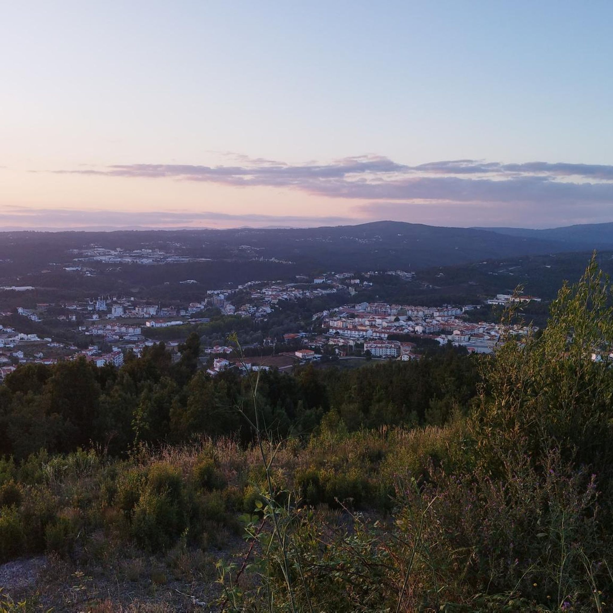
Road cycling routes around Cumeada traverse a landscape characterized by rolling hills, river valleys, and extensive forested areas. The region presents varied terrain with significant elevation changes, offering challenging climbs and descents. These routes often follow winding roads through rural settings, connecting small villages and natural features. The area's topography provides a diverse environment for road cyclists seeking longer distances and considerable ascents.
Best road cycling routes around Cumeada
- The most popular road cycling route is Castelo da Sertã –…
Last updated: October 18, 2026
11
riders
76.4km
03:57
1,310m
1,310m
Hard road ride. Very good fitness required. Mostly well-paved surfaces and easy to ride.
10
riders
95.2km
05:01
1,790m
1,790m
Hard road ride. Very good fitness required. Mostly well-paved surfaces and easy to ride.

10
riders
110km
05:54
2,190m
2,180m
Hard road ride. Very good fitness required. Mostly well-paved surfaces and easy to ride.
8
riders
102km
05:15
1,730m
1,730m
Hard road ride. Very good fitness required. Mostly well-paved surfaces and easy to ride.
5
riders
47.5km
02:37
970m
970m
Hard road ride. Very good fitness required. Mostly well-paved surfaces and easy to ride.
Get access to more routes and recommendations from other explorers.
Already have an account?
Our route recommendations are based on thousands of hikes, rides, and runs completed by other people on komoot.
Start today with a free account
Your next adventure awaits.
Popular around Cumeada
Tips from the Community

Pampilhosa da Serra, located in the district of Coimbra, is a destination marked by its unspoiled nature, river beaches, and iconic Schist Villages. The municipality is divided into 8 parishes and includes the Serra da Estrela-Açor and Serra da Lousã mountain ranges, offering mountain landscapes and a strong connection to the Zêzere River. 👍🥾
0
0

In this small market, you'll find all kinds of regional products from local producers, all with high quality. The service and cleanliness of the space are excellent, and the aroma of fresh produce is in the air.
0
0


Castanheira de Pêra is nestled in a mountainous and wooded territory, dominated by pine and eucalyptus forests, known for its natural and landscape richness. The municipality is especially appreciated for its numerous river beaches and natural pools, fed by the watercourses that cross it.
0
0

Beautifully located parking lot with a great panoramic view over the valley, there is also space for 1-2 tents. Although it is located directly on the street, there is little traffic.
0
0
Frequently Asked Questions
What is the general difficulty level of road cycling routes in Cumeada?
Road cycling in Cumeada is primarily geared towards experienced cyclists. The region features varied terrain with significant elevation changes, offering challenging climbs and descents. Out of 41 available routes, 28 are classified as difficult and 13 as moderate, with no easy routes available.
What are the typical distances and durations for road cycling routes in Cumeada?
The routes in Cumeada are generally long and demanding. For example, the Castelo da Sertã – Bridge over the Zêzere River loop from Fundada is 47.5 miles (76.4 km) and takes nearly 4 hours, while the Castelo da Sertã – Praia Fluvial de Álvares loop from Sertã extends to 68.3 miles (109.9 km) and can take almost 6 hours to complete.
Are there any family-friendly road cycling options in Cumeada?
Given the challenging nature of the terrain, with significant elevation gains and long distances, most road cycling routes in Cumeada are not typically considered family-friendly, especially for younger children or beginner cyclists. The routes are predominantly classified as moderate to difficult.
When is the best time of year to go road cycling in Cumeada?
The best time for road cycling in Cumeada is generally during spring (April to June) and autumn (September to October) when temperatures are milder and the landscape is vibrant. Summers can be very hot, making long rides more challenging, while winters can bring cooler, wetter conditions.
Are most road cycling routes in Cumeada circular?
Yes, many of the prominent road cycling routes in Cumeada are designed as loops, allowing you to start and finish at the same point. Examples include the Castelo da Sertã – Alto do Balão loop from Sertã and the Castanheira-de-Pêra – Ponte Filipina loop from Sertã.
What kind of attractions can I see along the road cycling routes in Cumeada?
The region offers a mix of natural beauty and historical sites. You might encounter charming settlements like Dornes Village, religious landmarks such as the Sanctuary of Our Lady of Pranto, or natural features like Cascata dos Pios. The routes often pass through rural settings, connecting small villages and offering extensive views.
Are there places to stop for refreshments or food along the routes?
While the routes often follow winding roads through rural settings and connect small villages, specific cafes or restaurants are not always directly on the route. It's advisable to plan your stops in larger towns like Sertã or Fundada, or carry sufficient provisions, especially on longer rides through forested areas.
What should I wear for road cycling in Cumeada?
Given the varied terrain and potential for significant elevation changes, layered clothing is recommended. Even on warm days, descents can be cooler. Essential gear includes a helmet, appropriate cycling attire, gloves, and sunglasses. Always check the weather forecast before heading out.
Where can I find parking for road cycling routes in Cumeada?
Many routes start from towns like Sertã or Fundada, where public parking is generally available. It's best to check the specific starting point of your chosen route on komoot for detailed parking information, as options can vary depending on the trailhead.
Is Cumeada accessible by public transport for road cyclists?
Public transport options to and within Cumeada are limited, especially for reaching specific trailheads with a road bike. While some regional bus services might connect larger towns, it's often more practical to arrive by car, particularly if you're bringing your own bike. Always verify local transport schedules and bike carriage policies in advance.
What do other road cyclists enjoy the most about road cycling in Cumeada?
Road cyclists using komoot often praise the challenging climbs, winding roads through forests, and scenic river crossings that define the region. The network offers options for experienced cyclists seeking demanding routes with significant elevation, and the varied terrain provides a rewarding experience.
Are there any less-known but scenic road cycling routes in Cumeada?
While many routes are popular, exploring options like the Ponte Filipina – Castelo da Sertã loop from Sertã can offer a slightly different perspective. This route, though still difficult, provides a challenging ride through varied landscapes, including river valleys and forested hills, away from the most frequented paths.
Most popular routes around Cumeada
Most popular attractions around Cumeada

Get inspired with the komoot mobile app


Explore more
Browse the best Road cycling routes in other regions.
