The best road cycling routes around Portela Do Fojo
4.5
(4)
136
riders
14
rides
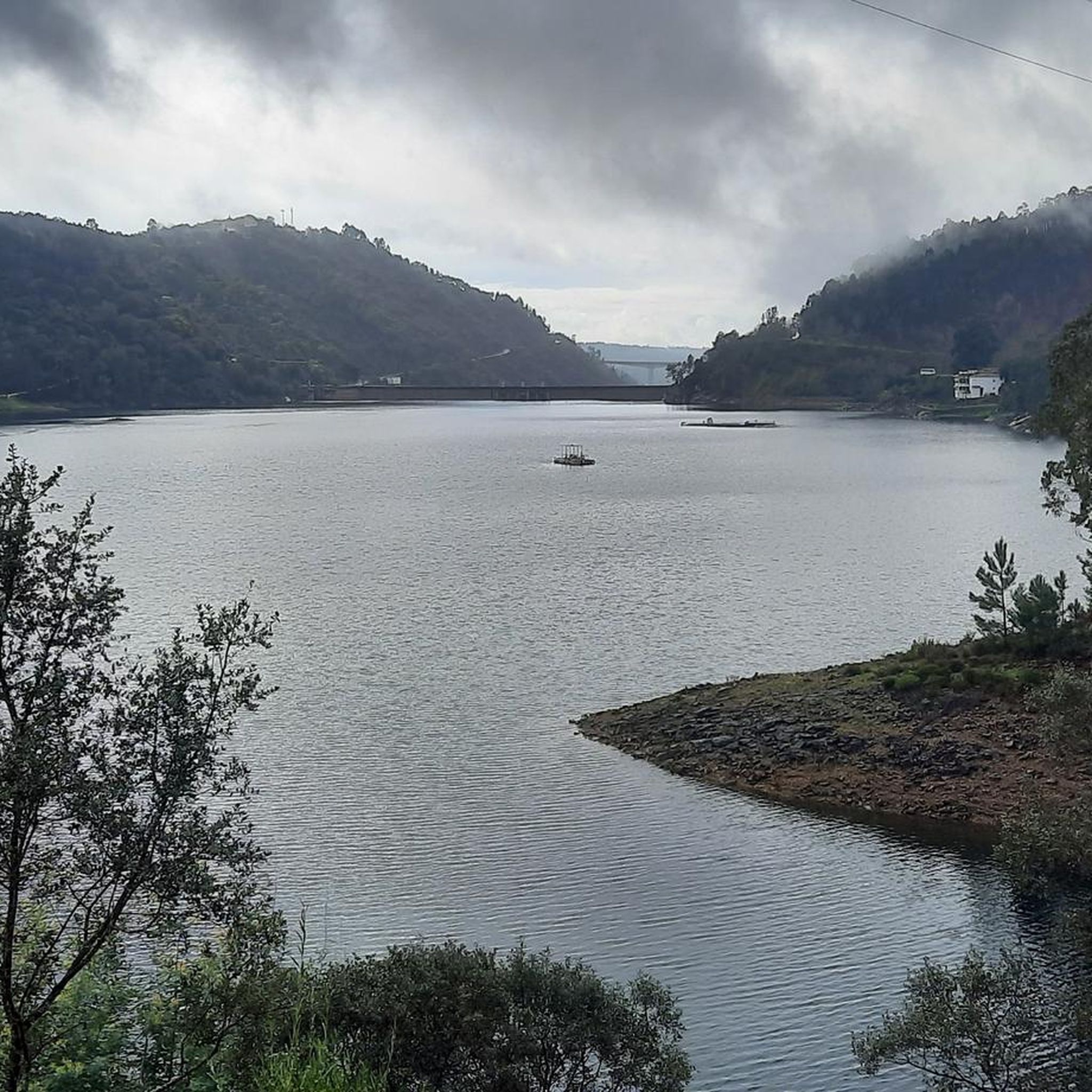
Road cycling routes around Portela Do Fojo are characterized by a mountainous landscape, offering demanding climbs and varied gradients within the broader Pampilhosa da Serra region. The terrain features significant elevation changes, with routes traversing extensive forested areas rich in pine, eucalyptus, and chestnut. Cyclists can expect to encounter river valleys, such as the Unhais River, and scenic dam reservoirs, providing diverse backdrops for rides.
Best road cycling routes around Portela Do Fojo
- The most popular road cycling route is…
Last updated: July 11, 2026
5.0
(1)
17
riders
63.5km
03:49
1,540m
1,540m
Hard road ride. Very good fitness required. Mostly well-paved surfaces and easy to ride.
8
riders
76.6km
03:53
1,320m
1,320m
Hard road ride. Very good fitness required. Mostly well-paved surfaces and easy to ride.

Sign up for free
9
riders
97.3km
05:34
2,210m
2,210m
Hard road ride. Very good fitness required. Mostly well-paved surfaces and easy to ride.
5.0
(1)
7
riders
54.7km
02:48
920m
920m
Hard road ride. Very good fitness required. Mostly well-paved surfaces and easy to ride.
4.0
(1)
7
riders
57.2km
03:11
1,190m
1,180m
Hard road ride. Very good fitness required. Mostly well-paved surfaces and easy to ride.
Get access to more routes and recommendations from other explorers.
Sign up for free
Already have an account?
Our route recommendations are based on thousands of hikes, rides, and runs completed by other people on komoot.
Start today with a free account
Your next adventure awaits.
Login or Signup
Popular around Portela Do Fojo
Tips from the Community

Pampilhosa da Serra, located in the district of Coimbra, is a destination marked by its unspoiled nature, river beaches, and iconic Schist Villages. The municipality is divided into 8 parishes and includes the Serra da Estrela-Açor and Serra da Lousã mountain ranges, offering mountain landscapes and a strong connection to the Zêzere River. 👍🥾
0
0

Castanheira de Pêra is nestled in a mountainous and wooded territory, dominated by pine and eucalyptus forests, known for its natural and landscape richness. The municipality is especially appreciated for its numerous river beaches and natural pools, fed by the watercourses that cross it.
0
0
Frequently Asked Questions
What is the general difficulty level of road cycling routes in Portela Do Fojo?
Road cycling routes around Portela Do Fojo are predominantly challenging, characterized by mountainous terrain and significant elevation changes. All 14 routes listed in this guide are rated as 'difficult', offering demanding climbs and rewarding descents for experienced cyclists.
What kind of terrain and landscapes can I expect on road cycling routes around Portela Do Fojo?
You can expect a diverse and challenging landscape. Routes traverse mountainous areas with significant elevation changes, often reaching high altitudes. The region is rich in schist-rich soil, leading to extensive forested areas dominated by pine, eucalyptus, chestnut, and heather. You'll also encounter scenic river valleys, such as the Unhais River, and picturesque dam reservoirs like Cabril and Santa Luzia.
Are there any circular road cycling routes available in Portela Do Fojo?
Yes, many of the road cycling routes in Portela Do Fojo are designed as loops, allowing you to start and finish in the same location. For example, the challenging Candal – Castanheira-de-Pêra loop from Vila Facaia covers over 100 km with substantial elevation gain.
What natural features and landmarks can I see while road cycling in Portela Do Fojo?
While cycling, you'll pass through lush forests and along tranquil river valleys and dam reservoirs. The broader Pampilhosa da Serra area also features picturesque Aldeias do Xisto (Schist Villages), offering unique architectural sights, and some routes may traverse historical mining landscapes, adding a cultural dimension to your ride.
What is the typical duration for road cycling routes in this region?
Given the challenging terrain and distances, most road cycling routes in Portela Do Fojo require a significant time commitment. For instance, the Candal – Castanheira-de-Pêra loop from Vila Facaia typically takes around 5 hours and 42 minutes, while the Garden Fountain – Schist Village of Álvaro loop from Pampilhosa da Serra can be completed in about 3 hours and 48 minutes.
How much elevation gain can I expect on a typical road cycling route in Portela Do Fojo?
Road cycling in Portela Do Fojo is known for its significant elevation changes. Routes frequently feature over 1500 meters of ascent. For example, the Praia Fluvial de Álvares – Schist Village of Álvaro loop from Pampilhosa da Serra includes over 2200 meters of elevation gain.
Are there any road cycling routes suitable for beginners in Portela Do Fojo?
The road cycling routes around Portela Do Fojo are generally considered difficult, featuring substantial elevation gain and challenging mountainous terrain. There are no routes specifically categorized as easy or moderate in this guide, suggesting the area is best suited for experienced road cyclists.
What do other road cyclists enjoy the most about road cycling in Portela Do Fojo?
The area is highly rated by the komoot community, with an average score of 5.0 stars. Cyclists often praise the challenging climbs, the rewarding panoramic views from the mountainous terrain, and the serene, unspoiled rural environment away from heavy traffic. The extensive forested areas also provide a scenic backdrop for rides.
What is the best time of year to go road cycling in Portela Do Fojo?
The mountainous nature of Portela Do Fojo means that spring and autumn generally offer the most pleasant conditions for road cycling, with milder temperatures and beautiful scenery. Summers can be hot, especially on exposed climbs, while winters may bring colder weather and potentially more challenging road conditions at higher altitudes.
Are there any specific starting points for road cycling routes in Portela Do Fojo?
Routes often start from nearby villages or towns within the broader Pampilhosa da Serra municipality. For instance, several popular routes, such as the Candal Schist Village – Candal loop, begin from Vila Facaia. Other routes may start from Pampilhosa da Serra itself.
Is Portela Do Fojo a good destination for family-friendly road cycling?
Given the challenging nature of the terrain, with significant climbs and long distances, Portela Do Fojo's road cycling routes are generally not considered suitable for casual family rides or beginners. The routes are geared towards experienced cyclists seeking a demanding workout.
What are some of the longest road cycling routes available in the Portela Do Fojo area?
The region offers several long and challenging routes. The Candal – Castanheira-de-Pêra loop from Vila Facaia is one of the longest, spanning 105 kilometers. Another extensive option is the Candal Schist Village – Candal loop from Vila Facaia, which covers over 101 kilometers.
Most popular routes around Portela Do Fojo

Get inspired with the komoot mobile app


Explore more
Browse the best Road cycling routes in other regions.
