The best road cycling routes around São Bento Do Mato
4.0
(2)
110
riders
3
rides
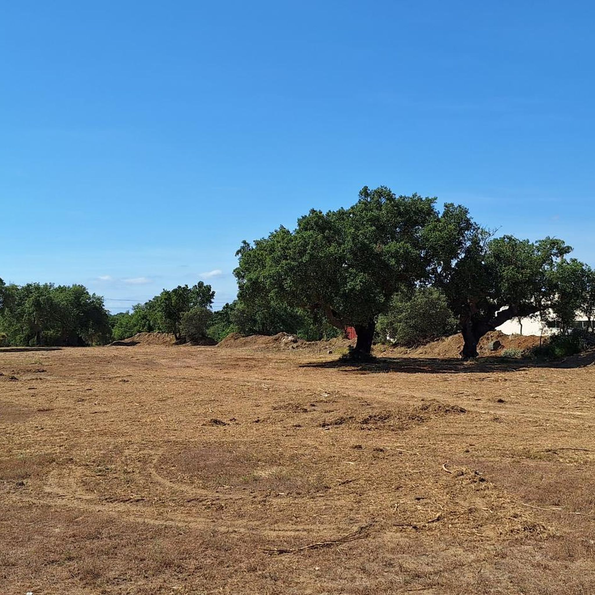
Road cycling around São Bento Do Mato, located in Portugal's Alentejo region, features a landscape of rolling plains and extensive Montado cork oak forests. The terrain offers varied routes suitable for road cyclists, often traversing agricultural lands. A notable feature for cyclists is the Ecopista of the Ramal de Mora, a green path developed along an old railway line, providing dedicated cycling infrastructure. The region also includes elevated points like Alto de São Bento, offering panoramic views.
Best road cycling…
Last updated: July 11, 2026
44
riders
30.1km
01:19
170m
170m
Moderate road ride. Great for any fitness level. Some segments of this route may be unpaved and difficult to ride.
25
riders
46.4km
02:07
380m
380m
Moderate road ride. Good fitness required. Some segments of this route may be unpaved and difficult to ride.

Sign up for free
18
riders
65.7km
02:50
490m
490m
Moderate road ride. Good fitness required. Some segments of this route may be unpaved and difficult to ride.
5.0
(1)
18
riders
101km
04:17
600m
600m
Moderate road ride. Good fitness required. Some segments of this route may be unpaved and difficult to ride.
3.0
(1)
5
riders
43.9km
01:54
400m
400m
Moderate road ride. Good fitness required. Mostly well-paved surfaces and easy to ride.
Our route recommendations are based on thousands of hikes, rides, and runs completed by other people on komoot.
Start today with a free account
Your next adventure awaits.
Login or Signup
Popular around São Bento Do Mato
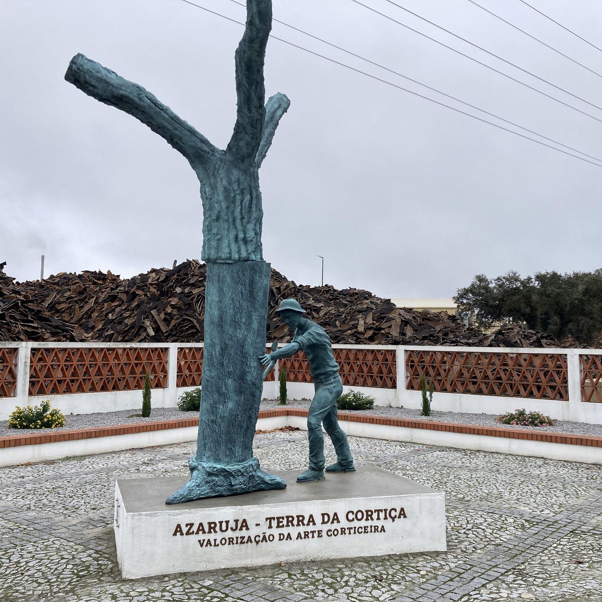
Tips from the Community

Vimieiro was a municipal seat between 1257 and 1855. Two charters are known, the first granted by D. Francisco Bruno Neves, Bishop of Évora, in 1257, and the second by D. Manuel I, King of Portugal, in 1512. In 1801, it consisted of the parishes of the town and Santa Justa. It then had 1,819 inhabitants and an area of 266 km². In 1849, it consisted only of the parish of the town. It was suppressed by the administrative reform of 1855, consequently losing its status as a town, a fact that the coat of arms with a mural crown of four visible towers still marks today.
2
0


In the historic center of the tranquil town of Évora stands the Roman Temple of Évora. The city's landmark is often also called the Temple of Diana, but historically has nothing to do with the Roman goddess of the hunt. A dedication to the highest deity Jupiter is more likely. The Roman Temple of Évora was probably built in the 1st century AD during the reign of Emperor Augustus and later modified under Emperor Claudius. The magnificent structure reflects Roman architecture with Corinthian-style columns.
3
0
Fake ruins in the public garden of Évora
5
0

The town of Vimieiro, as a “land of music and musicians”, intends to promote a project of national scope, with the creation of a museum space on philharmonic music with a musical training component that allows the preservation of knowledge and traditions in this area and, simultaneously, the holding of “artistic residencies”, as well as the construction of an auditorium where the arts of music and speech can take place, valuing music teaching, the holding of workshops and other activities that the final plan should include. (Source: www.tribunaalentejo.pt )
14
0

This Renaissance-style aqueduct was built between 1532 and 1537 and eventually supplied the entire population of Évora with clean drinking water. The city is located in an arid region with little rainfall throughout the year, so water had to be brought from a lake and a river several kilometers away. It connected the fountains over a distance of 18 km.
4
3
A huge parking lot in the north of Évora, right next to the aqueduct. A great starting point for a city tour.
3
4
Previously, a shirt factory of the "Melka" brand operated here for many years.
9
0
Frequently Asked Questions
What kind of terrain can I expect for road cycling around São Bento Do Mato?
The region is characterized by rolling plains and extensive Montado cork oak forests, offering varied terrain suitable for road cyclists. You'll find routes traversing agricultural lands and dedicated green paths like the Ecopista, providing a mix of flat sections and gentle ascents.
Are there any dedicated cycling paths in the area?
Yes, a prime attraction for cyclists is the Ecopista of the Ramal de Mora, a green path developed along an old railway line. Much of this route is isolated from traffic, providing a peaceful and dedicated cycling environment, connecting Évora and Arraiolos.
What are some notable natural features or scenic points to look out for?
You'll cycle through beautiful Montado cork oak forests, which are unique ecosystems. The region also offers expansive vistas over the surrounding countryside, with elevated points like Alto de São Bento providing rewarding panoramic views.
Are there historical landmarks or attractions along the road cycling routes?
Absolutely. The historic and picturesque Evoramonte Castle is a significant landmark that can be included in your routes, combining physical activity with historical exploration. You might also encounter the Vimieiro, land of music and musicians monument.
What is the best time of year for road cycling in São Bento Do Mato?
The Alentejo region generally offers pleasant cycling conditions outside of the peak summer months. Spring and autumn provide milder temperatures, making them ideal for exploring the rolling plains and cork oak forests. Winter can also be suitable, though some days might be cooler.
What is the typical difficulty level of road cycling routes here?
The routes around São Bento Do Mato primarily feature moderate difficulty levels. For example, the Aqueduct Hotel loop from Canaviais is a moderate 18.7-mile (30.1 km) trail, and the Graça do Divor Former Railway Station – Arraiolos loop from Évora is a moderate 28.6-mile (46.0 km) path.
Are there any long-distance road cycling options available?
Yes, for those seeking longer rides, routes like the Évora City Walls – Roman Temple of Évora loop from Canaviais cover approximately 62.5 miles (100.6 km). Another option is the Aqueduct Hotel – Arraiolos loop from Évora, which is about 40.8 miles (65.7 km).
What do other road cyclists enjoy the most about road cycling in São Bento Do Mato?
The area is highly rated by the komoot community, with an average score of 3.0 stars. Reviewers often praise the varied terrain, the serene experience of cycling through Montado cork oak forests, and the dedicated cycling infrastructure like the Ecopista.
Are there loop routes available for road cyclists?
Yes, many of the road cycling routes in the area are designed as loops. Examples include the Aqueduct Hotel loop from Canaviais and the Roadbike loop from Camping Alentejo, allowing you to start and finish at the same point.
Can I find cafes or places to stop for refreshments along the routes?
While specific cafes are not listed for every route, the Ecopista connects to towns like Évora and Arraiolos, which offer amenities for travelers, including cafes and restaurants. Planning your route to pass through these towns will provide opportunities for refreshments.
Is public transport available to access the cycling routes?
The Ecopista of the Ramal de Mora connects the cities of Évora and Arraiolos, both of which are accessible by public transport. From these points, you can easily access sections of the Ecopista and other nearby road cycling routes.
Are there any specific permits required for cycling in the region?
Generally, no specific permits are required for road cycling on public roads and dedicated cycling paths like the Ecopista in the Alentejo region. However, always respect private property and local regulations.
Most popular routes around São Bento Do Mato
Most popular attractions around São Bento Do Mato

Get inspired with the komoot mobile app


Explore more
Browse the best Road cycling routes in other regions.
