The best road cycling routes around Ameixial
4.2
(15)
198
riders
9
rides
Road cycling routes around Ameixial traverse a landscape characterized by rolling hills and varied terrain. The region features a mix of open countryside and areas with scattered vegetation, providing diverse cycling environments. Elevation changes are common, with routes often including significant ascents and descents. The area's physical features are suitable for road cyclists seeking both challenging climbs and scenic stretches.
Best road cycling routes around Ameixial
- The most popular road cycling route is Caldeirão Quiet Road – View of Caldeirão…
Last updated: October 8, 2026
3.5
(2)
21
riders
55.6km
02:55
1,010m
1,010m
Hard road ride. Very good fitness required. Mostly well-paved surfaces and easy to ride.
22
riders
42.8km
02:20
860m
860m
Moderate road ride. Good fitness required. Mostly well-paved surfaces and easy to ride.

5.0
(1)
14
riders
58.1km
02:53
900m
900m
Hard road ride. Very good fitness required. Mostly well-paved surfaces and easy to ride.
4
riders
25.2km
01:24
560m
550m
Moderate road ride. Good fitness required. Mostly well-paved surfaces and easy to ride.
4.0
(1)
2
riders
44.1km
02:13
680m
680m
Moderate road ride. Good fitness required. Mostly well-paved surfaces and easy to ride.
Get access to more routes and recommendations from other explorers.
Already have an account?
Our route recommendations are based on thousands of hikes, rides, and runs completed by other people on komoot.
Start today with a free account
Your next adventure awaits.
Tips from the Community

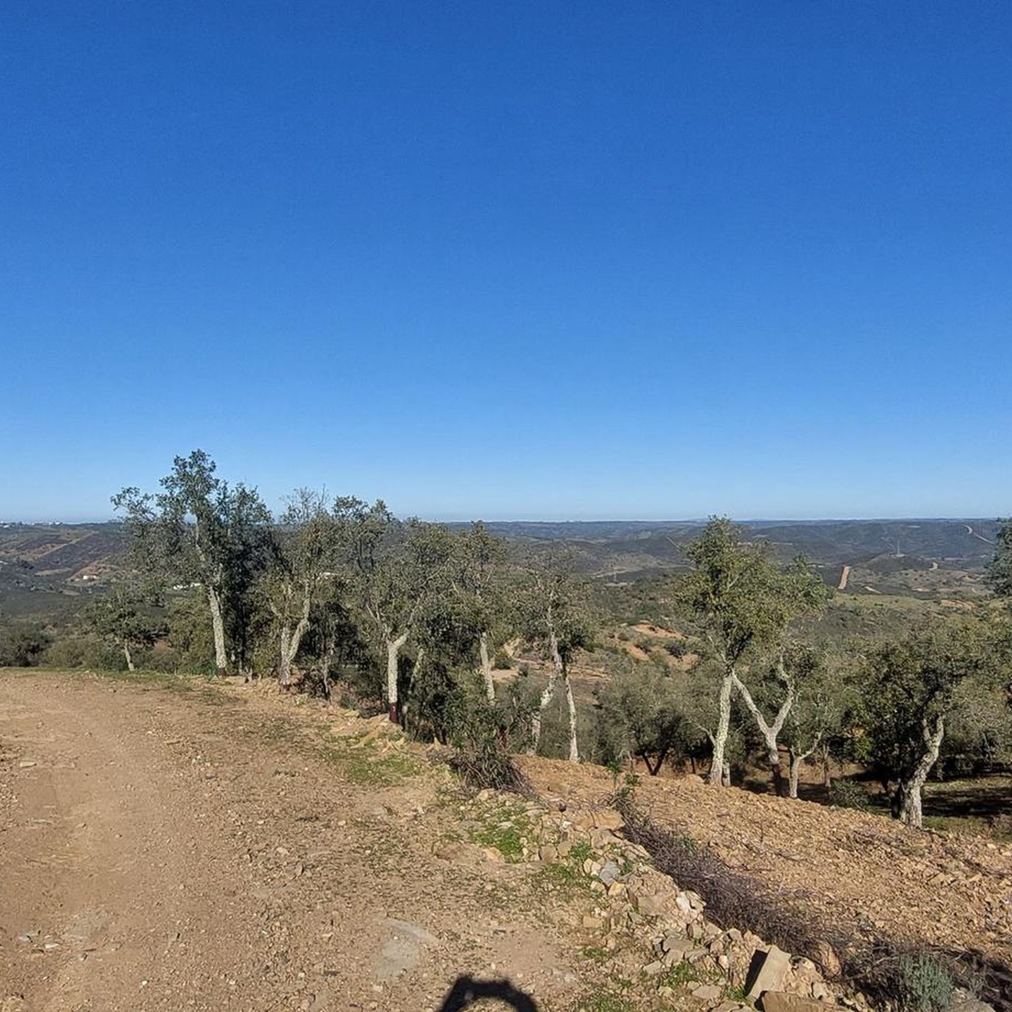
Climb from Almodôvar in the Caldeirão. Quiet, scenic road
2
0

Cachopo is the heart of the mountains: an authentic village with about a thousand inhabitants, where tradition dictates the rhythm of life. The houses maintain their typical character, and in the center, the Church of Santo Estêvão is a meeting point and a pilgrimage site. Here, the mountain identity lives on in the festivals, in the blankets embroidered with wildflowers, in the honey, the cheese, and in the art of baskets and woodworking. But nothing symbolizes Cachopo better than the cork oak's cycle: the cork is harvested by hand, without harming the tree, in an ancient gesture that renews the connection between man and nature every nine years.
1
0

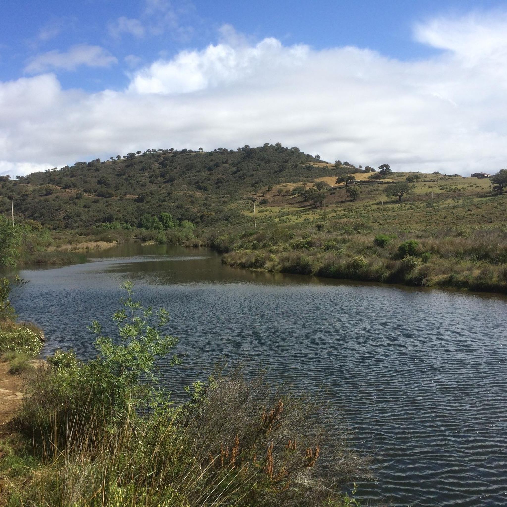
A beautiful spot, with a natural pool to cool off in. You just can't stay there overnight. There's a nearby campervan area upstream with restrooms. You can pitch your tent there.
0
0

The parish of Cachopo is located in the mountainous area of the municipality of Tavira, specifically in the Serra do Caldeirão. Until around 1836, it was part of the municipality of Alcoutim. The Mother Church of Santo Estevão in Cachopo dates from 1535 and stands atop a hill, overlooking the village's narrow cobbled streets. Cachopo is the northernmost and one of the largest parishes in Tavira. The beautiful village of Cachopo is nestled in the Serra do Caldeirão mountains, the mountain range that separates the Algarve from the rest of Portugal. The narrow cobbled streets of Cachopo have remained unchanged for years, giving this part of the Tavira region a sense of time standing still. The architecture is simple, with single-story houses, mostly painted white, featuring traditional Algarvean chimneys on the roof.
1
1

delicious 7 Wonders of the Algarve Layer Cake
0
0


Loved this place delicious coffee and custard tarts with cheese and charcuterie boards to die for … super friendly Pedro was a great host!
0
0
Frequently Asked Questions
What is the general difficulty level of road cycling routes around Ameixial?
The road cycling routes around Ameixial are primarily categorized as moderate to difficult. The region's landscape features rolling hills and significant elevation changes, making it suitable for cyclists seeking a challenge. There are 6 moderate routes and 4 difficult routes available.
Are there any road cycling routes suitable for beginners in Ameixial?
While Ameixial's terrain is generally characterized by rolling hills and elevation changes, making many routes moderate to difficult, some of the moderate routes could be suitable for beginners looking for a challenge. For example, the Bike Café - Germano – Alto do Malhão loop from Malhão is a moderate 26.6-mile path that offers varied rural scenery.
What are some of the longer road cycling routes available in Ameixial?
For those seeking longer distances, the Odeleite Reservoir – Castelo de Alcoutim loop from Cachopo is a challenging 68-mile (109.4 km) route. Another option is the Main Church of Ameixial – Kilometer 666 of the N2 loop from Ameixial, which covers 36.1 miles (58.1 km).
Are there any circular road cycling routes around Ameixial?
Yes, many of the road cycling routes in Ameixial are designed as loops. Examples include the popular Caldeirão Quiet Road – View of Caldeirão loop from Ameixial, the Bike Café - Germano – Alto do Malhão loop from Malhão, and the Cachopo – Mealha Fountain loop from Cachopo.
What kind of views or viewpoints can I expect on road cycling routes in Ameixial?
Road cycling routes in Ameixial offer diverse views, from open countryside to the rolling Caldeirão hills. Cyclists can enjoy scenic stretches and panoramic vistas. Notable viewpoints include Alto do Malhão, which is also a significant climb, and Cerro da Relva.
What do other road cyclists enjoy most about cycling in Ameixial?
The road cycling routes in Ameixial are highly rated by the komoot community, with an average score of 4.17 stars from over 10 reviews. Cyclists often praise the varied terrain, which includes both challenging climbs and scenic stretches, as well as the quiet roads and rural scenery.
Are there any places to eat or cafes along the road cycling routes in Ameixial?
While specific cafes directly on every route are not detailed, the region has small settlements where you might find local establishments. For example, the Tia Bia Restaurant and Montinho do Lobo are places to consider for a stop in the broader Ameixial area.
What are some interesting landmarks or attractions near the road cycling routes?
Beyond the cycling itself, you can explore several points of interest. The area includes historical sites like Casa dos Cantoneiros de Barranco do Velho. You might also pass through settlements such as Barranco do Velho, offering a glimpse into local life.
What is the best time of year to go road cycling in Ameixial?
Given the region's climate, spring and autumn generally offer the most pleasant conditions for road cycling in Ameixial, with milder temperatures. Summers can be quite hot, especially during midday, while winters are cooler but often still suitable for cycling, though rain is more likely.
What should I wear for road cycling in Ameixial?
Due to the varied terrain and potential for significant elevation changes, it's advisable to wear appropriate cycling gear that allows for comfort and temperature regulation. Layers are recommended, especially during spring and autumn, to adapt to changing conditions. Always bring enough water, as some stretches might be remote.
Are there any hidden gem road cycling routes in Ameixial that are less known?
While all routes offer unique experiences, the Cachopo – Mealha Fountain loop from Cachopo is a moderate 27.4-mile (44.1 km) route that provides a great way to explore the quieter, less-trafficked parts of the region, offering a sense of discovery away from the more popular trails.
Most popular attractions around Ameixial

Get inspired with the komoot mobile app


Explore more
Browse the best Road cycling routes in other regions.
