The best walks and hikes around Gars am Inn
4.6
(167)
770
hikers
69
hikes
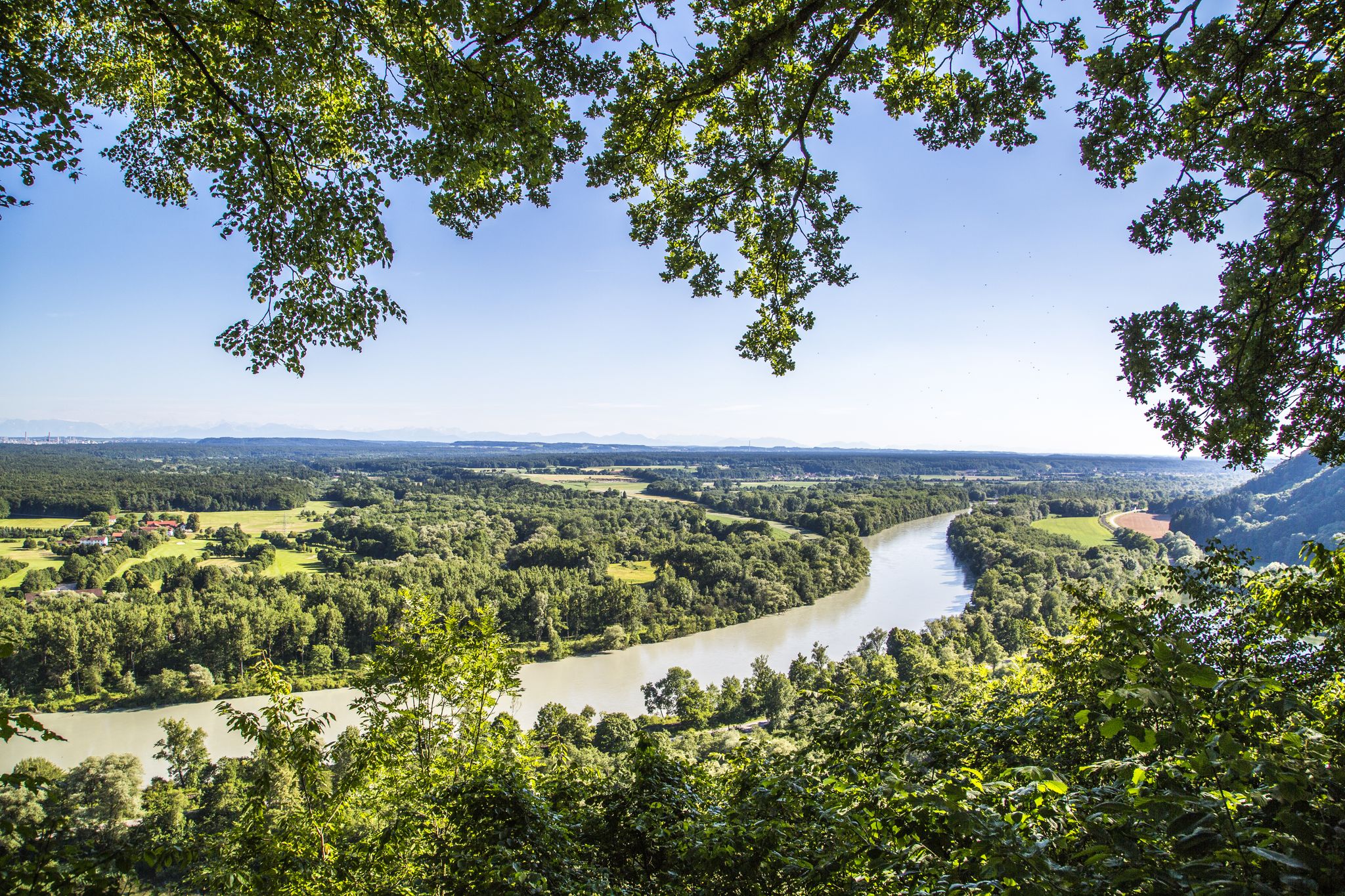
Hiking around Gars am Inn offers trails within the Bavarian Alpine foothills, characterized by a landscape of rolling hills and valleys. The Inn River is a prominent natural feature, shaping the local terrain and providing scenic routes. The region features lush greenery, particularly along the riverbanks and through wooded areas.
Best hiking trails around Gars am Inn
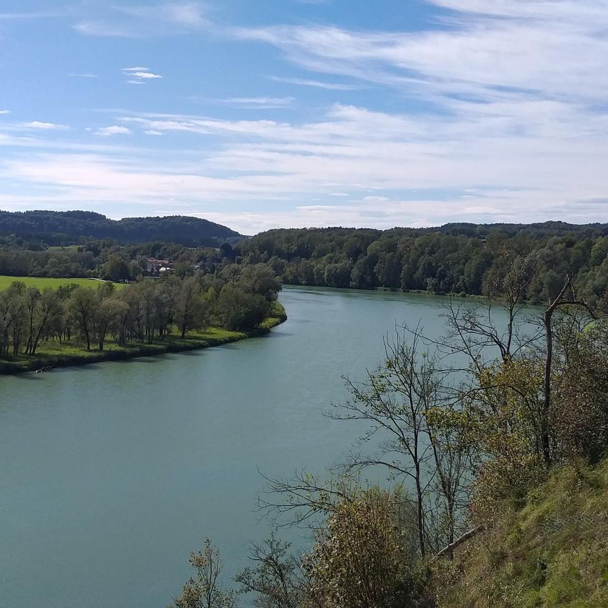
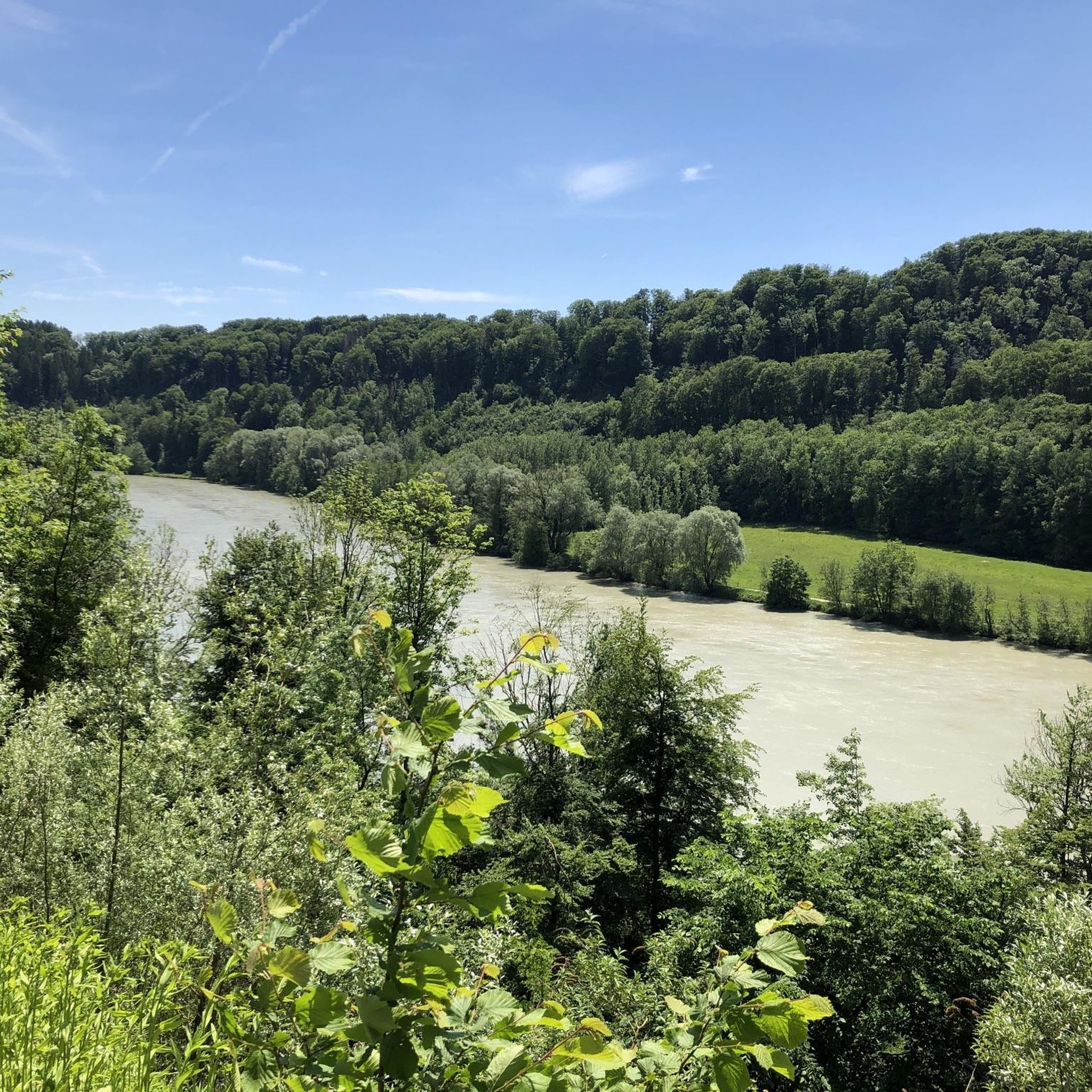
- The most popular hiking route is Bench With a View of the Inn – Klostercafé Gars am Inn loop from Gars am Inn, a 3.4 miles (5.5 km) trail that takes 1 hour 26 minutes to complete. This easy route features views of the Inn River and passes by the Klostercafé.
- Another top favourite among local hikers is View of the Inn River – Königswart Inn Bridge loop from Gars am Inn, a moderate 6.3 miles (10.1 km) path. This trail offers expansive views of the Inn River and crosses the Königswart Inn Bridge.
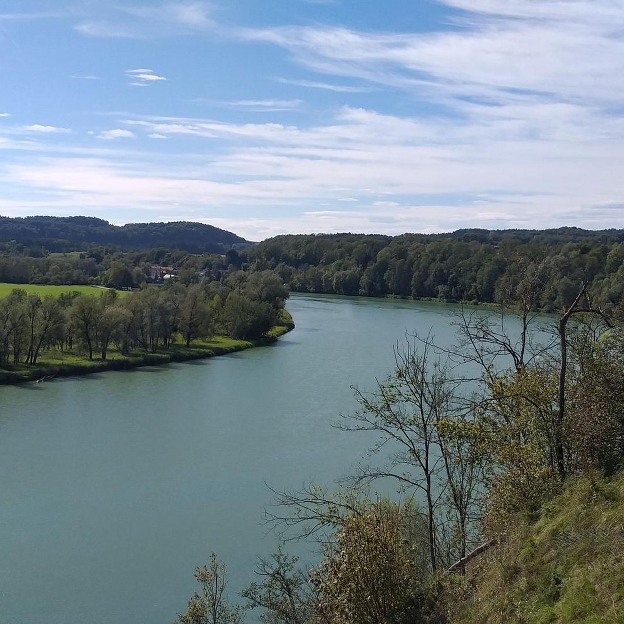
- Local hikers also love the View of the Inn River – View of the Inn River Bend loop from Kloster Au am Inn, a 3.6 miles (5.9 km) trail leading through varied terrain with views of the Inn River bend, often completed in about 1 hour 46 minutes.
- Hiking around Gars am Inn is defined by river valleys, rolling hills, and forested sections. The network offers options for different ability levels, from easy riverside strolls to moderate ascents.
- The routes in Gars am Inn are highly rated by the komoot community with an average score of 4.5 stars from over 150 reviews. More than 780 hikers have used komoot to explore Gars am Inn's varied terrain.
Last updated: June 27, 2026
3.6
(21)
77
hikers
Easy hike. Great for any fitness level. Easily-accessible paths. Suitable for all skill levels.
4.4
(16)
68
hikers
9.85km
02:40
140m
140m
Moderate hike. Good fitness required. Easily-accessible paths. Suitable for all skill levels.

Sign up for free
4.3
(7)
44
hikers
Easy hike. Great for any fitness level. Easily-accessible paths. Suitable for all skill levels.
3.6
(5)
39
hikers
Easy hike. Great for any fitness level. Easily-accessible paths. Suitable for all skill levels.
4.5
(6)
26
hikers
Moderate hike. Good fitness required. Easily-accessible paths. Suitable for all skill levels.
Get access to more routes and recommendations from other explorers.
Sign up for free
Already have an account?
Our route recommendations are based on thousands of hikes, rides, and runs completed by other people on komoot.
Start today with a free account
Your next adventure awaits.
Login or Signup


Tips from the Community


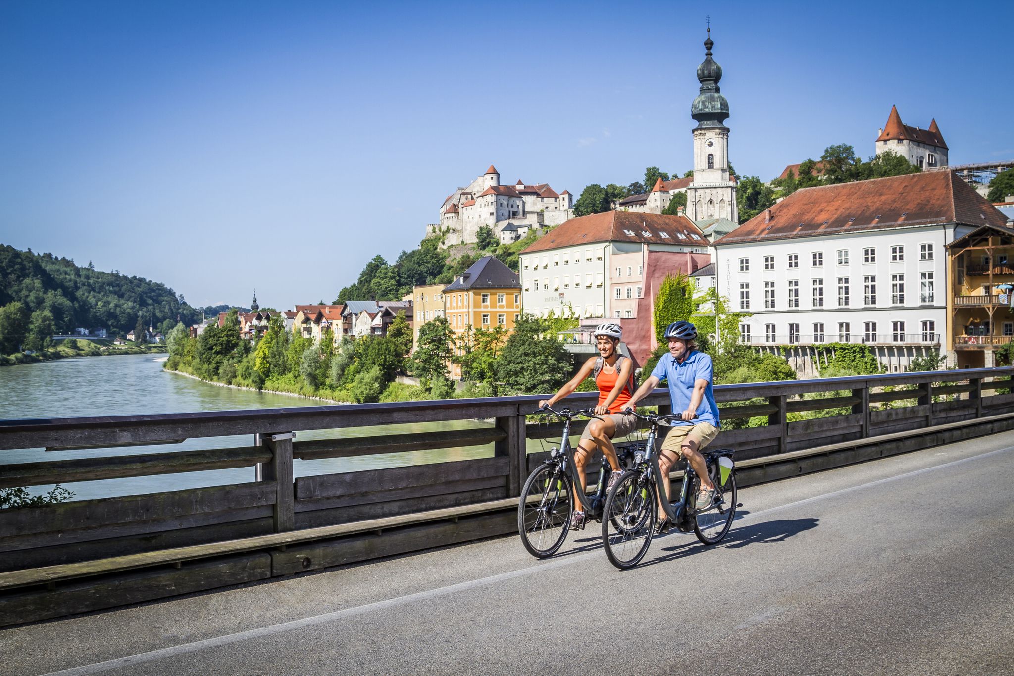
On the way along the Inn from Wasserburg to Gars.
0
0

I settled down a little further! :-)
0
0
There is another path, but there is now a house there and the path is already overgrown on the lower side!
0
0

Beautiful Innleitenweg, MBT bike recommended
0
0
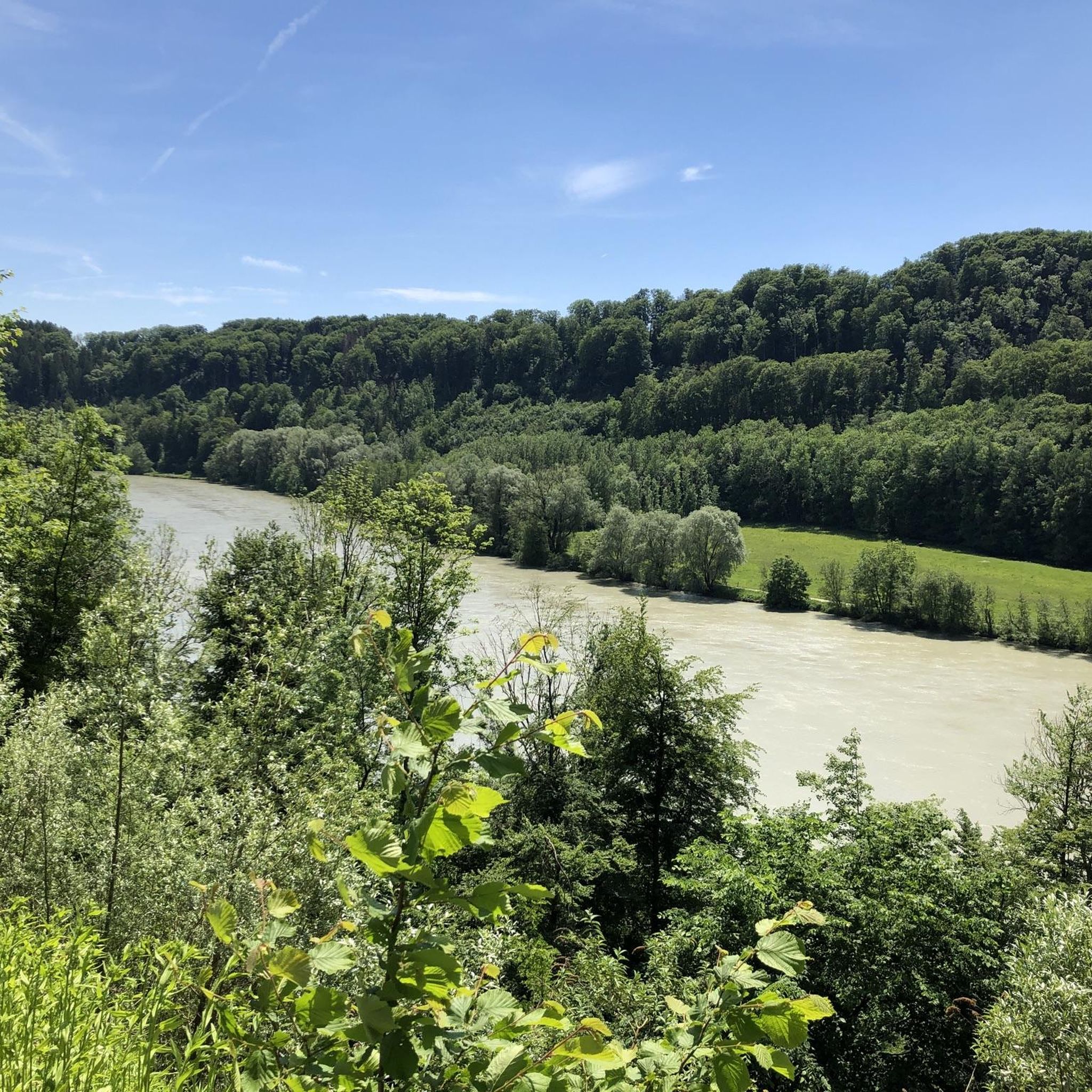
beautiful shady path along the Inn
0
0

The monastery church is really impressive. Next to the church there is a café and a garden center with public toilets. Dogs are not allowed in the cemetery. The most interesting things about the former monastery church are the cast stone Pietà (ca. 1430) and the choir stalls (ca. 1600). The gilded shrine with the bones of the blessed Kaspar Stanggassinger (d. 1899) is inserted into the "Salzburg Altar". Numerous votive offerings testify to a lively veneration of this blessed man from Berchtesgaden. More information at: https://www.inn-salzach.com/kloster-gars-am-inn-mit-kirche
1
0

The restaurant is open again! Thu-Sun, recommended
0
0
Frequently Asked Questions
How many hiking trails are available around Gars am Inn?
There are over 70 hiking trails around Gars am Inn, offering a variety of options for different skill levels. This includes 37 easy routes, 32 moderate routes, and 1 difficult trail.
What is the best time of year to go hiking in Gars am Inn?
The warm summer months are ideal for hiking in Gars am Inn, with lush greenery and opportunities to enjoy the Inn River. Spring and autumn also offer beautiful, colorful landscapes. While winter provides options for skiing and cross-country skiing in the surrounding area, many hiking trails remain accessible for winter walks.
Are there easy hiking trails suitable for beginners or families in Gars am Inn?
Yes, Gars am Inn offers many easy hiking trails perfect for beginners and families. Over half of the routes, 37 in total, are classified as easy. A great option is the Bench With a View of the Inn – Klostercafé Gars am Inn loop from Gars am Inn, which is 3.4 miles (5.5 km) long and features scenic views of the Inn River.
What kind of terrain can I expect on hikes around Gars am Inn?
The terrain around Gars am Inn is characterized by rolling hills, valleys, and forested sections, set within the picturesque Bavarian Alpine foothills. The Inn River is a prominent feature, with many trails following its banks, offering a mix of riverside strolls and gentle ascents.
Are there any circular hiking routes in Gars am Inn?
Yes, many routes around Gars am Inn are designed as loops. For example, the View of the Inn River – Königswart Inn Bridge loop from Gars am Inn is a moderate 6.3-mile (10.1 km) circular path offering expansive river views. Another easy loop is the View of the Inn River – View of the Inn River Bend loop from Kloster Au am Inn, which is 3.6 miles (5.9 km) long.
Can I bring my dog on the hiking trails in Gars am Inn?
Most hiking trails in the Gars am Inn region are dog-friendly. It's generally recommended to keep dogs on a leash, especially in nature protection areas or near livestock, and to always clean up after them. Always check specific trail regulations if posted.
Where can I find viewpoints or scenic spots along the trails?
Many trails offer beautiful views of the Inn River and the surrounding Bavarian landscape. The Bench With a View of the Inn – View of the Inn River loop from Gars am Inn is specifically named for its scenic benches overlooking the river. The region's rolling hills naturally provide numerous elevated spots for panoramic vistas.
Are there any cultural or historical attractions to see near the hiking trails?
Yes, Gars am Inn and its surroundings are rich in cultural attractions. You can explore historic sites like Haag Castle or Kling Castle Ruins. The town itself features Gars Castle and Seeon Monastery, which often hosts cultural events. The nearby town of Wasserburg am Inn also offers attractions like Brucktor and the Red Bridge and its charming Old Town.
Are there places to eat or drink near the hiking routes?
Yes, you'll find options for refreshments. The Bench With a View of the Inn – Klostercafé Gars am Inn loop from Gars am Inn passes directly by the Klostercafé. The region is also known for its traditional Bavarian cuisine, with local farm shops and eateries in Gars am Inn and surrounding villages where hikers can enjoy regional products.
What do other hikers say about the trails in Gars am Inn?
The trails in Gars am Inn are highly rated by the komoot community, with an average score of 4.5 stars from over 150 reviews. Hikers often praise the varied terrain, the beautiful views of the Inn River, and the well-maintained paths suitable for different ability levels.
What are the options for parking when hiking in Gars am Inn?
While specific parking lots for each trail are not detailed, Gars am Inn and its surrounding villages typically offer public parking facilities. It's advisable to check local signage for parking regulations and availability, especially near popular trailheads or cultural sites like Gars Abbey.
Are there any moderate hiking trails for those seeking a bit more challenge?
Yes, Gars am Inn offers 32 moderate hiking trails for those looking for a longer or slightly more challenging experience. A popular choice is the View of the Inn River – Königswart Inn Bridge loop from Gars am Inn, which covers 6.3 miles (10.1 km) and includes some elevation changes.
Most popular routes around Gars am Inn
Most popular attractions around Gars am Inn

Get inspired with the komoot mobile app


Explore more
Browse the best Hikes in other regions.
