The best walks and hikes around São Bartolomeu De Messines
4.4
(1505)
5,730
hikers
33
hikes
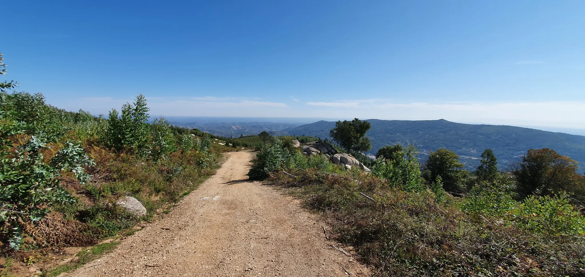
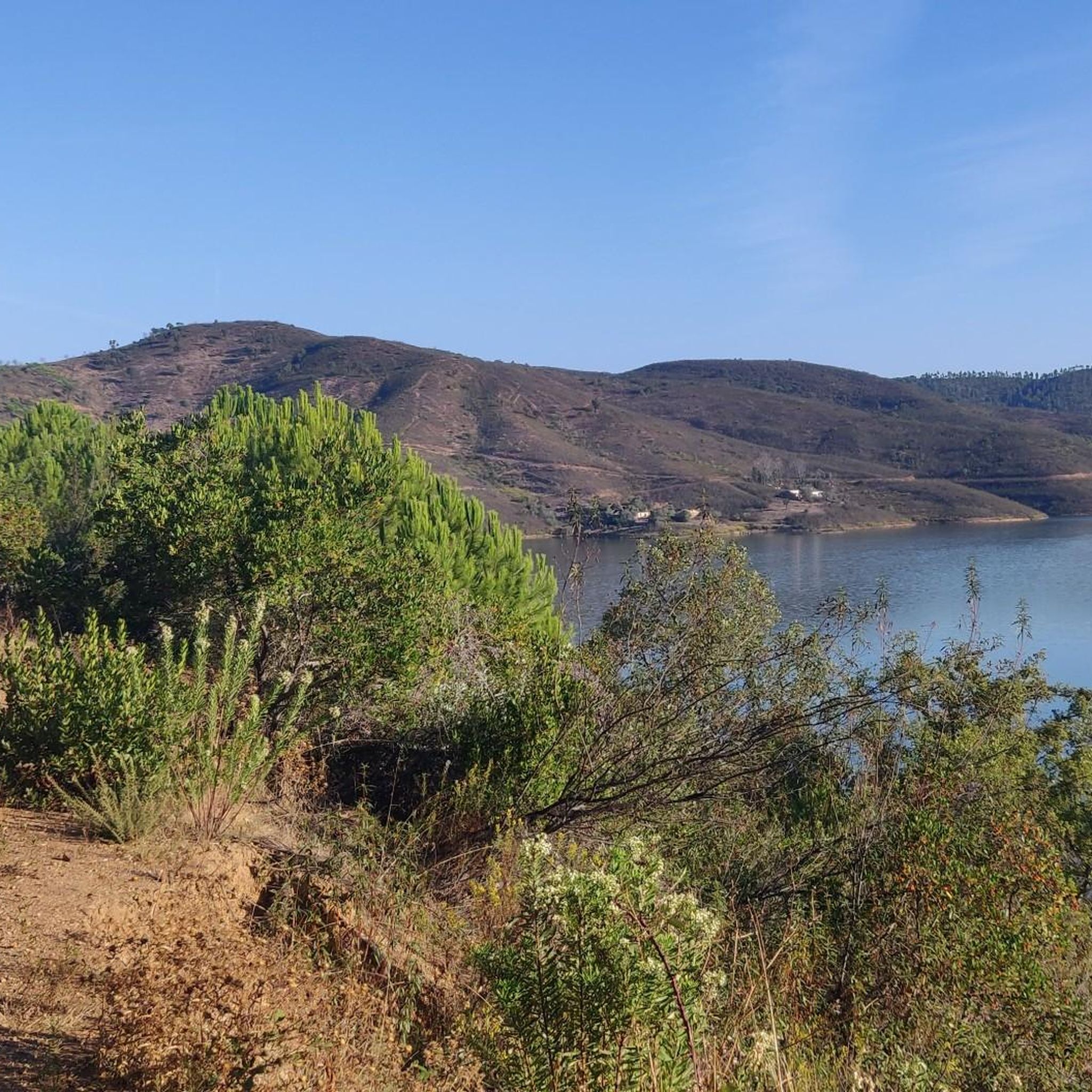
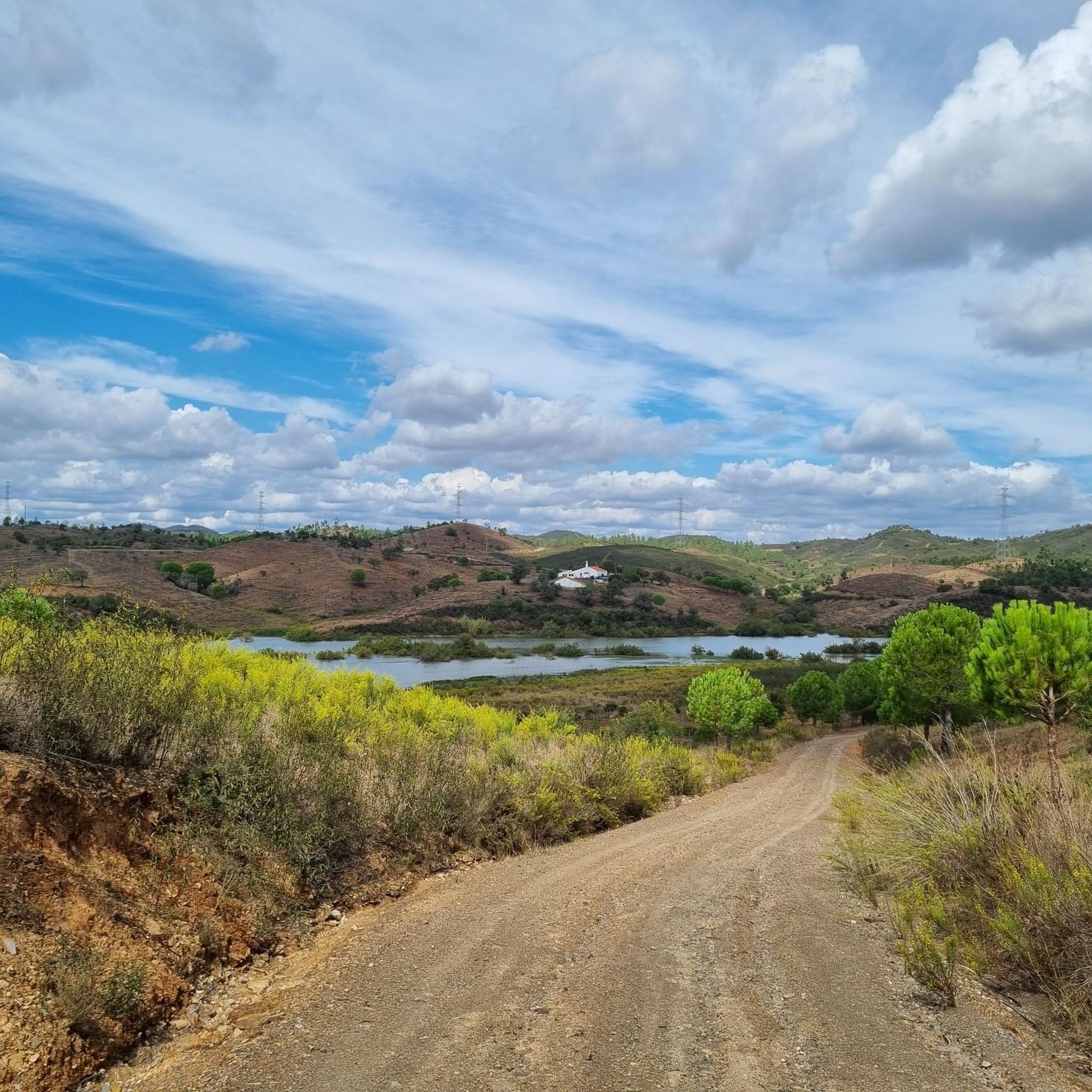
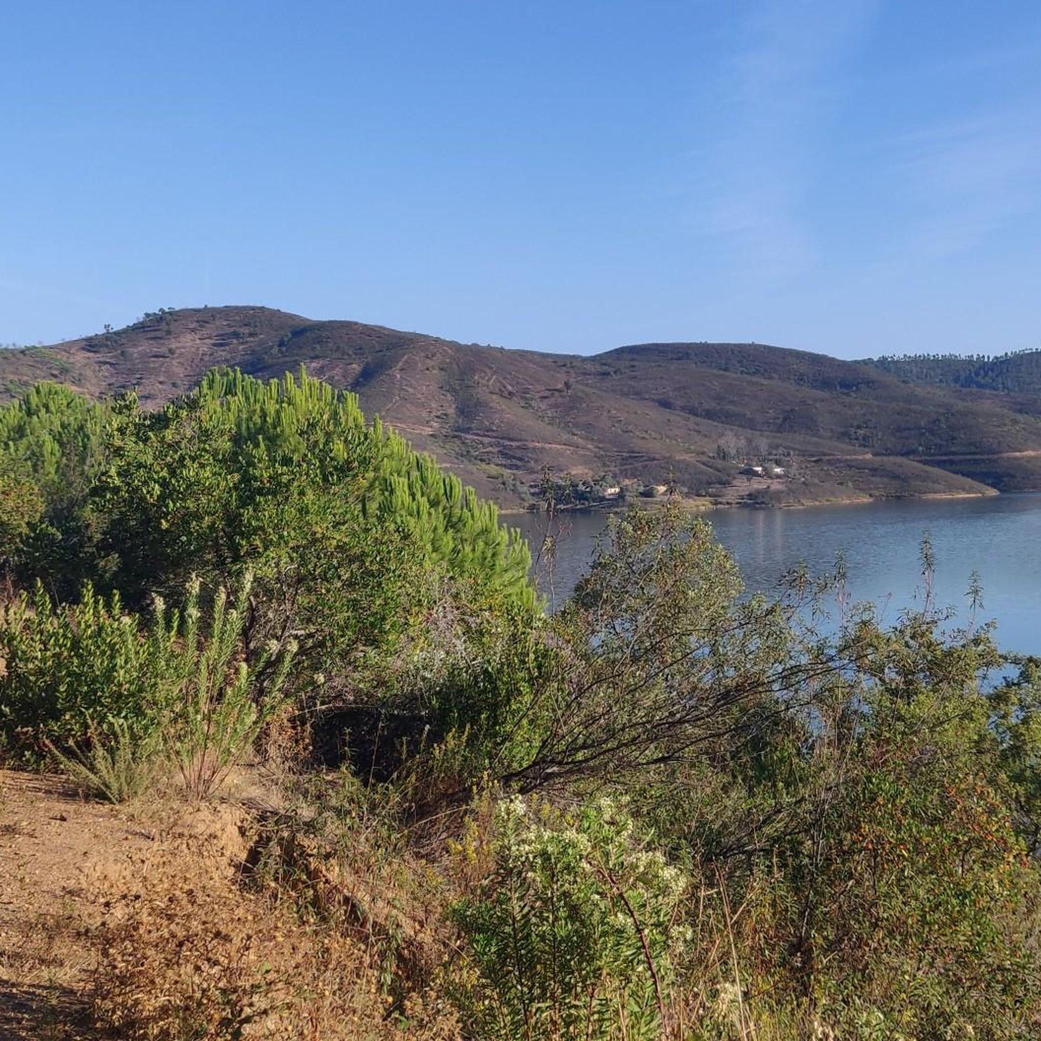
Hiking around São Bartolomeu De Messines, located in Portugal's Faro District, offers diverse natural landscapes away from coastal areas. The region is characterized by the rolling hills and Mediterranean woodlands of the Serra de Caldeirão. Prominent features include the Funcho Dam and Arade Dam, providing varied trails and views. Unique red sandstone landscapes and ancient necropolises are also present, particularly along trails like the Vale Fuzeiros.
Best hiking trails around São Bartolomeu de Messines
- The most popular hiking route is Vale Fuzeiros Trail, a 4.0 miles (6.5 km) moderate trail that takes 1 hour 51 minutes to complete. This route explores ancient necropolises and distinct red sandstone landscapes.
- Another top favourite among local hikers is São Bartolomeu de Messines Cultural Trail, a moderate 6.7 miles (10.8 km) path. This trail delves into the history and nature of the Algarve, offering panoramic views.
- Local hikers also love the Barragem do Funcho — route on the Rota Algarviana, a 9.2 miles (14.9 km) trail leading through the area surrounding the Funcho Dam, often completed in about 4 hours 9 minutes.
- Hiking around São Bartolomeu de Messines is defined by rolling hills, dam reservoirs, and Mediterranean woodlands. The network offers options for various ability levels, from easy loops to more challenging moderate routes.
- The routes in São Bartolomeu de Messines are highly rated by the komoot community with an average score of 4.4 stars from more than 800 reviews. More than 3000 hikers have used komoot to explore São Bartolomeu de Messines's varied terrain.
Last updated: October 10, 2026
4.5
(91)
353
hikers
6.52km
01:52
150m
150m
Moderate hike. Great for any fitness level. Mostly accessible paths. Sure-footedness required.
4.2
(59)
165
hikers
10.8km
02:57
150m
160m
Moderate hike. Good fitness required. Easily-accessible paths. Suitable for all skill levels.

4.4
(5)
22
hikers
4.68km
01:21
120m
120m
Moderate hike. Great for any fitness level. Mostly accessible paths. Sure-footedness required.
4.0
(1)
7
hikers
14.9km
04:08
280m
280m
Moderate hike. Good fitness required. Easily-accessible paths. Suitable for all skill levels.
4.5
(35)
138
hikers
Moderate hike. Good fitness required. Easily-accessible paths. Suitable for all skill levels.
Get access to more routes and recommendations from other explorers.
Already have an account?
Our route recommendations are based on thousands of hikes, rides, and runs completed by other people on komoot.
Start today with a free account
Your next adventure awaits.
Popular around São Bartolomeu De Messines
Other adventures around São Bartolomeu De Messines

Tips from the Community

The 246-meter-long and 50-meter-high dam was built between 1944 and 1956. A turbine used to generate electricity there, but it is probably out of service now.
0
0


The Church of São Bartolomeu de Messines is a religious building, located in the parish of São Bartolomeu de Messines, in the Algarve region, in Portugal. It was classified as a property of public interest in 1955. The building was built in the period in which the Manueline style exerted influence, in the 14th and 15th centuries, although it still retains some 18th-century elements, such as the portal and the Baroque façade. Inside, you will find the only 16th-century set of twisted log columns in the Algarve, built of sandstone. Another striking element is the entrance portal to the cemetery, decorated with two Baroque volutes, also made of local sandstone. Due to the natural effect of erosion, the stoneware pieces acquired a very expressive appearance, with a very lively colour in reddish tones, and at the same time small dents and other marks on the surface of the stone. Several residential buildings next to the church also contain elements of red sandstone, in particular the frames of the openings in the facades, which gave the city centre an original appearance.
1
0
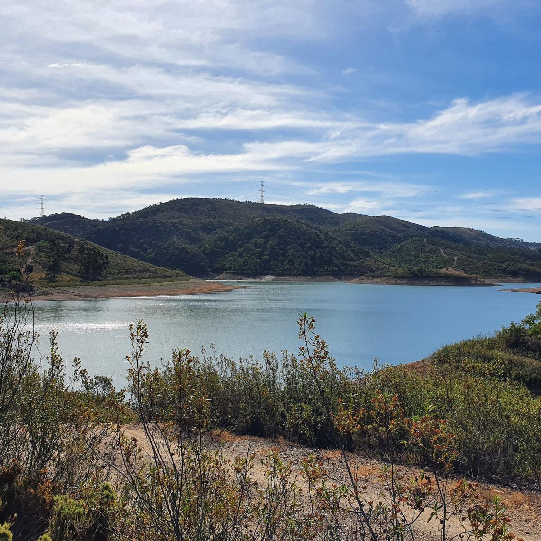
The Funcho Dam is located in the municipality of Silves (Portugal) and is fed by the Arade River . The dam is located upstream of the Arade Dam . The construction of this dam was completed in 1993 and its main purpose is to irrigate the agricultural lands of the region . The surface area of the hydrographic basin is 200 km² , with a useful capacity of 42.75 million cubic metres in the reservoir .
0
0

Sometimes a bit hidden between bushes, but really authentic history
2
0

No water - no reservoir. In November 2024 the reservoir was completely dry.
0
0

The Funcho Dam is fed by the Arade River. It was built in 1993 and, in addition to energy production, its main function is to supply agricultural production land in the area. There is a small car park next to it.
0
0
The Arade River is one of the longest in the Algarve, flowing into Portimão. The Funcho Dam, created mainly to feed the region's agricultural production, turns this section of the river into a beautiful Albufeira, which runs alongside the Via Algarviana.
1
0
Frequently Asked Questions
How many hiking trails are available in São Bartolomeu de Messines?
São Bartolomeu de Messines offers a wide variety of hiking experiences, with over 30 routes to explore. These range from easy strolls to more challenging moderate trails, catering to different fitness levels.
What kind of terrain can I expect on hikes around São Bartolomeu de Messines?
The region is characterized by the rolling hills and Mediterranean woodlands of the Serra de Caldeirão. You'll encounter diverse landscapes, including unique red sandstone formations, especially along routes like the Vale Fuzeiros Trail, and tranquil areas around the Funcho and Arade Dams.
Are there easy hiking options for beginners or casual walkers?
Yes, there are several easy hiking options perfect for beginners or those looking for a relaxed walk. For example, the "Camperstop Messines – Water Reservoir and Ruins loop" and the "Funcho Dam – Fennel Dam loop" are suitable for all skill levels. These routes often provide a gentle introduction to the area's natural beauty.
Are there any notable natural features or landmarks to see while hiking?
Absolutely. Hikers can discover several interesting features. The Funcho Dam and Arade Dam areas offer scenic views and tranquil settings. You can also explore unique red sandstone landscapes and ancient necropolises on the Vale Fuzeiros Trail. For panoramic vistas, consider the climb to Penedo Grande, which offers views of the Algarve's rolling hills and the Arade reservoir.
Can I find waterfalls on the trails in São Bartolomeu de Messines?
Yes, you can discover the Barrocal Waterfall, which is a notable natural highlight in the area. It's a great spot to visit while exploring the region's diverse landscapes.
Are the hiking trails in São Bartolomeu de Messines suitable for families with children?
Many trails in São Bartolomeu de Messines are suitable for families. The easier loops, such as the "Camperstop Messines – Water Reservoir and Ruins loop" or the "Funcho Dam – Fennel Dam loop," are generally well-suited for children. These routes offer manageable distances and gentle terrain, allowing families to enjoy nature together.
Are there circular hiking routes available?
Yes, São Bartolomeu de Messines offers several circular hiking routes. These loops are popular as they allow you to start and end at the same point, often providing varied scenery throughout the journey. Examples include the "Funcho Dam – Arade Dam loop" and the "Cactus Hedge – Penedo Grande loop."
What is the best time of year to go hiking in São Bartolomeu de Messines?
The best time for hiking in São Bartolomeu de Messines is typically during the cooler months, from autumn through spring (October to May). During these periods, the weather is milder and more pleasant for outdoor activities. Summer can be very hot, so if hiking then, it's best to go early in the morning or late afternoon.
What do other hikers say about the trails in São Bartolomeu de Messines?
The hiking routes in São Bartolomeu de Messines are highly rated by the komoot community, with an impressive average score of 4.4 stars from over 800 reviews. Hikers often praise the tranquil settings, the diverse landscapes, and the well-maintained paths that offer a peaceful escape from the bustling coastal areas.
Are there any places to eat or drink near the trails?
The village of São Bartolomeu de Messines itself retains an authentic Algarve spirit with its traditional white-painted buildings and peaceful cafes. While specific cafes directly on every trailhead might be limited, the village offers options for refreshments before or after your hike, providing a cultural dimension to your outdoor adventure.
Can I bring my dog on the hiking trails?
Many trails in the region are dog-friendly, allowing you to enjoy the natural beauty with your canine companion. However, it's always recommended to keep your dog on a leash, especially in areas with wildlife or near agricultural lands, and to carry water for both yourself and your pet.
Is public transport available to access the trailheads?
While São Bartolomeu de Messines is well-connected by road, direct public transport to all specific trailheads might be limited. It's advisable to check local bus schedules if you plan to rely on public transport, as some routes may require a short walk from the nearest stop to the starting point of your chosen hike.
Are there parking facilities near the hiking trails?
Parking is generally available near the starting points of many popular trails and within the village of São Bartolomeu de Messines. For specific routes, it's often possible to find roadside parking or designated small parking areas, especially near attractions like the dams or cultural sites.
Most popular routes around São Bartolomeu De Messines
Most popular attractions around São Bartolomeu De Messines

Get inspired with the komoot mobile app


Explore more
Browse the best Hikes in other regions.
