The best running trails around Santa Catarina Da Fonte Do Bispo
4.3
(120)
2,682
runners
142
runs
Jogging around Santa Catarina Da Fonte Do Bispo offers diverse routes through Portugal's tranquil Algarve region. The area is characterized by rolling hills and traditional agricultural landscapes within the Barrocal region, providing varied terrain for runners. Extensive cork oak forests offer shaded paths, while access to coastal wetlands provides flatter, scenic running options. The natural features combine to create a varied environment for physical activity.
Best jogging routes around Santa Catarina Da Fonte Do Bispo
- The most popular jogging route…
Last updated: October 24, 2026
5.0
(1)
11
runners
14.2km
01:37
340m
340m
Hard run. Very good fitness required. Mostly paved surfaces. Suitable for all skill levels.
4.0
(1)
4
runners
12.2km
01:22
210m
210m
Moderate run. Good fitness required. Mostly paved surfaces. Suitable for all skill levels.

3
runners
9.41km
01:11
210m
200m
This difficult 5.8-mile (9.4 km) jogging route, the Fonte de Águas de Tábuas Trail (PR14 TVR), offers 680 feet (207 metres) of elevation gai
11.7km
01:28
370m
370m
Hard run. Very good fitness required. Mostly paved surfaces. Suitable for all skill levels.
4.0
(1)
13
runners
7.55km
00:48
100m
100m
Moderate run. Good fitness required. Mostly paved surfaces. Suitable for all skill levels.
Get access to more routes and recommendations from other explorers.
Already have an account?
Our route recommendations are based on thousands of hikes, rides, and runs completed by other people on komoot.
Start today with a free account
Your next adventure awaits.
Popular around Santa Catarina Da Fonte Do Bispo
Tips from the Community

A very beautiful and simple church in a small village. And as you can see, there is even an inscription here on the central square. Some nice local eateries for food are also located here.
0
0

The river carries water in the winter time
0
0


Secluded villages, untouched nature and peace. Upon arriving at this point, in the place of Hortas, it is possible to admire a classic landscape of the interior region of the Algarve.
1
0
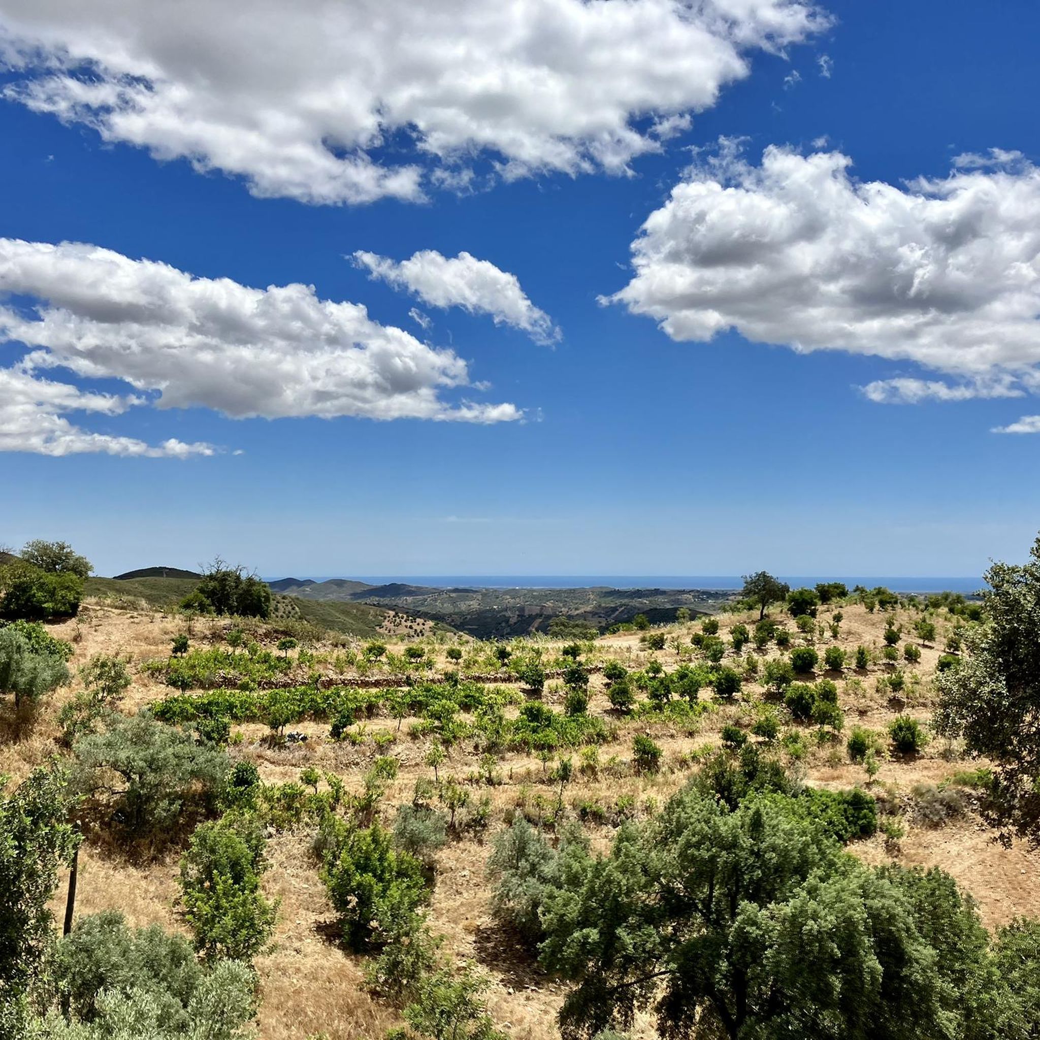
The name Boavista is readily understood when passing through here. It is a small village, where most of the houses are in an advanced state of dilapidation. The view, however, is good, pardon the pun, and you have a privileged panorama of the sea.
1
0
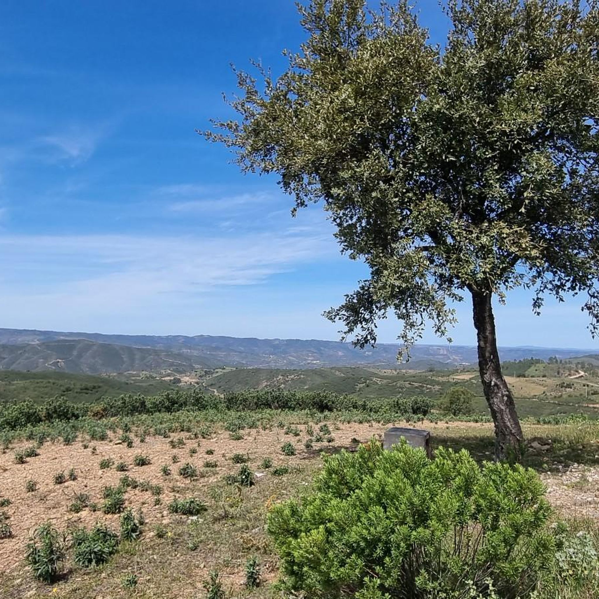
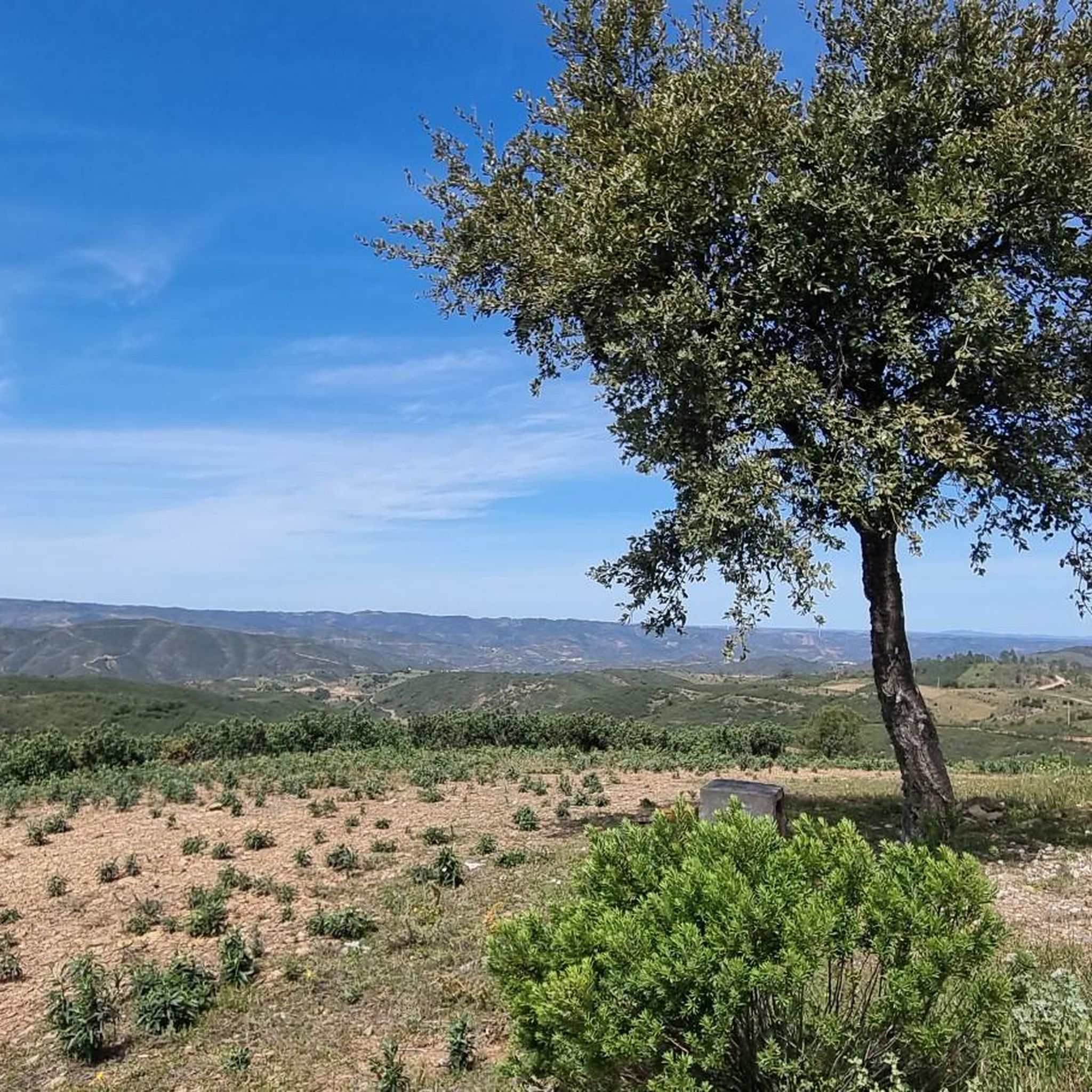
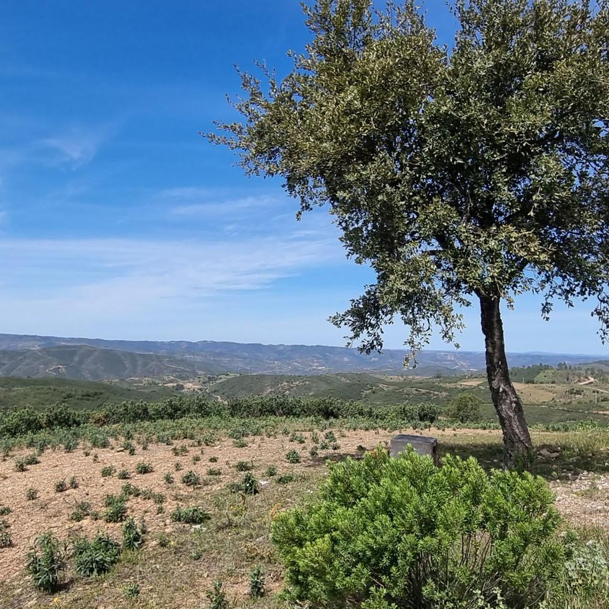
Near the Casas Altas elevation you have one of the most stunning views of the route. From here it is possible to see the mountains in all their splendor, as well as the Atlantic, on clear weather days.
0
0
Ribeira da Fornalha is one of the tributaries of the Séqua River. Like many other watercourses in the Algarve, its volume varies greatly from season to season. Therefore, you can find the Ribeira with very varied water levels (see photos).
2
0
Next to the road is this picnic park, an ideal point to start or stop along the Serra de Alcaria do Cume route. The site provides incredible views of the entire region.
1
0
Frequently Asked Questions
How many running routes are available in Santa Catarina Da Fonte Do Bispo?
There are nearly 150 running routes around Santa Catarina Da Fonte Do Bispo, offering a wide variety of options for different preferences and fitness levels. The komoot community has explored these trails over 2000 times, sharing their experiences.
What kind of terrain can I expect on the jogging trails in this region?
The terrain around Santa Catarina Da Fonte Do Bispo is quite varied. You'll find routes through picturesque rolling hills, traditional agricultural landscapes, and extensive cork oak forests that provide shaded paths. For those seeking flatter options, nearby coastal wetlands like the Ecovía do Litoral offer a different experience.
Are there any easy or beginner-friendly running routes?
Yes, for those looking for a gentler run, there are about 10 easy routes available. These paths typically feature less elevation gain and are suitable for beginners or a relaxed jog. One moderate option is the Running loop from Santo Estêvão, which covers about 7.5 km with minimal elevation.
What do other runners enjoy most about the trails in Santa Catarina Da Fonte Do Bispo?
The running routes in Santa Catarina Da Fonte Do Bispo are highly rated by the komoot community, with an average score of 4.4 stars. Reviewers often praise the tranquility of the rural setting, the varied landscapes from rolling hills to cork oak forests, and the authentic Algarve experience away from urban bustle.
Are there any circular running routes available?
Yes, many of the routes are circular, allowing you to start and finish in the same location. Popular circular options include the challenging Morenos — circular route (PR13 TVR), which is 14.2 km long, and the moderate Telheiros do Barro — circular route (PR11 TAV), spanning 12.2 km.
What is the best time of year to go jogging in Santa Catarina Da Fonte Do Bispo?
The region experiences a mild climate, making it suitable for outdoor activities for much of the year. Spring and autumn are particularly ideal for jogging, offering comfortable temperatures and pleasant scenery. Even in summer, the cork oak forests provide welcome shade on some routes.
Are there any interesting landmarks or natural features to see along the running routes?
Absolutely! While jogging, you can encounter various points of interest. You might come across the traditional architecture of the village itself, or explore natural features like the Pego do Inferno Waterfall. The nearby Ecovía do litoral Fuseta - Olhão also offers views of coastal wetlands and opportunities for birdwatching.
Are the running trails in Santa Catarina Da Fonte Do Bispo suitable for families?
Many of the easier and moderate routes are suitable for families, especially those with older children. The tranquil rural setting and varied landscapes provide an enjoyable experience for all. It's always a good idea to check the specific route details, including distance and elevation, to ensure it matches your family's capabilities.
Can I bring my dog on the jogging trails?
Generally, dogs are welcome on many of the trails in the region, allowing you to enjoy a run with your canine companion. However, it's always recommended to keep your dog on a leash, especially in agricultural areas or near wildlife, and to respect local regulations and private property.
Are there any routes that offer significant elevation gain for a challenging workout?
Yes, the rolling hills of the Barrocal region provide excellent opportunities for challenging runs with significant elevation gain. Routes like the Serra de Alcaria do Cume — circular route (PR15 TVR), with over 370 meters of ascent, and the Fonte de Águas de Tábuas Trail (PR14 TVR) are classified as difficult and offer a demanding workout.
Is there parking available at the trailheads?
While specific parking facilities vary by trailhead, Santa Catarina Da Fonte Do Bispo is a rural area, and you can often find informal parking spots near the start of many routes, particularly in or near the village center and smaller hamlets. It's advisable to check the route details on komoot for any specific parking recommendations.
Are there cafes or restaurants near the running routes for a post-run refreshment?
Santa Catarina Da Fonte Do Bispo, being a traditional village, offers a few local establishments where you can enjoy refreshments or a meal. These are typically found in the village center. Many routes start or pass through areas that are a short distance from these amenities, allowing for a pleasant stop after your run.
Most popular routes around Santa Catarina Da Fonte Do Bispo
Most popular attractions around Santa Catarina Da Fonte Do Bispo

Get inspired with the komoot mobile app


Explore more
Browse the best Running Trails & Routes in other regions.
