The best walks and hikes around Vila Real De Santo António
4.4
(816)
3,793
hikers
30
hikes
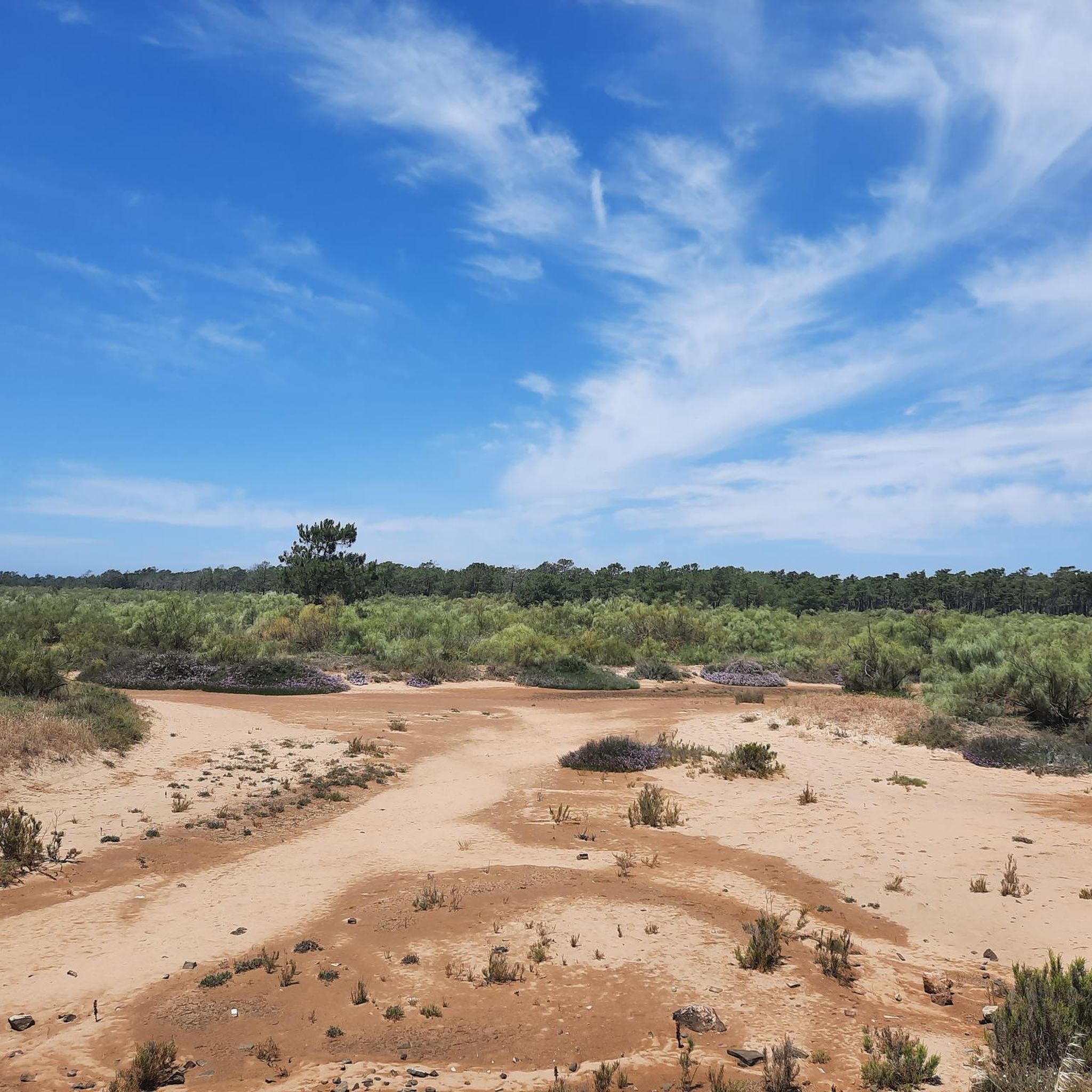
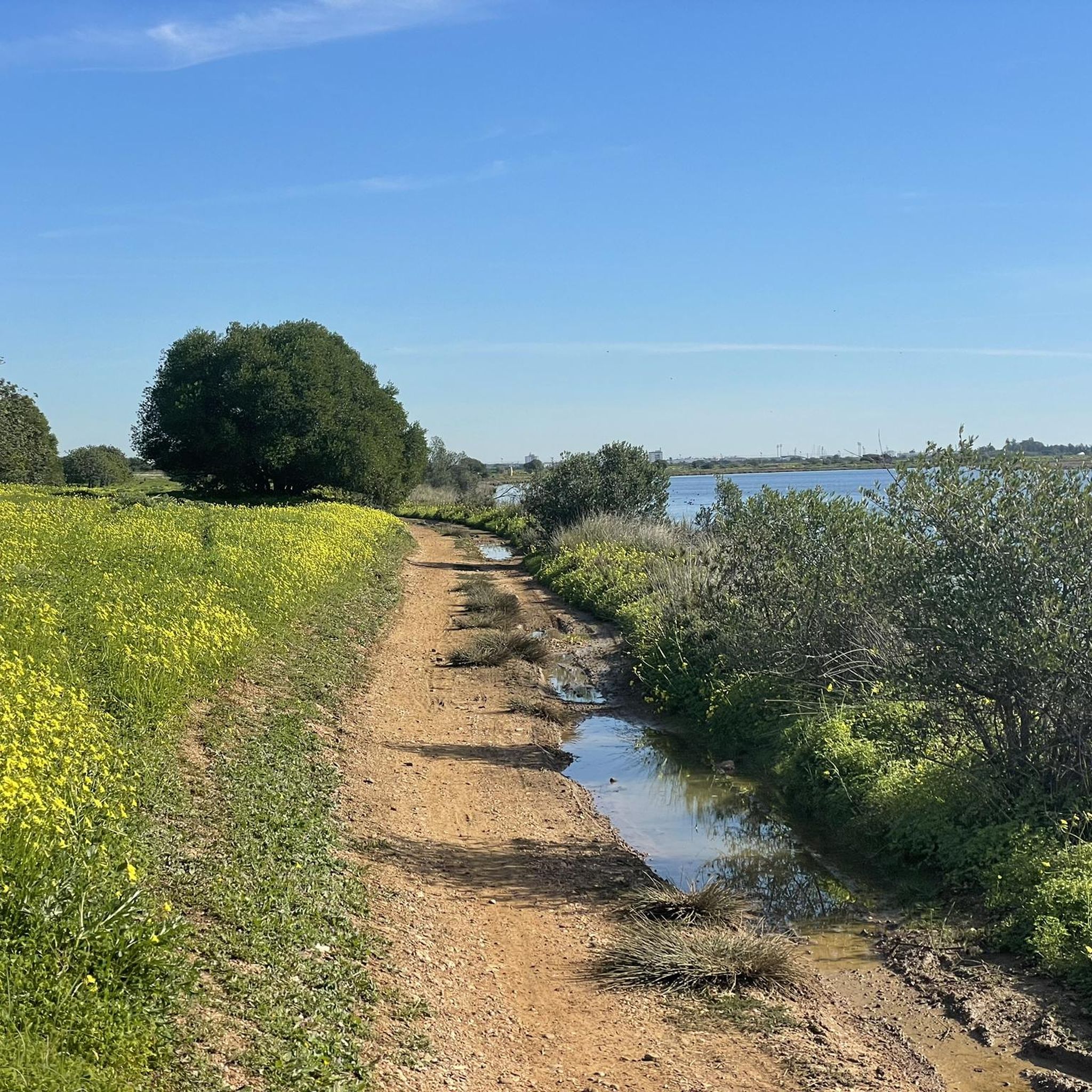
Hiking around Vila Real de Santo António offers diverse landscapes, from extensive pine forests to riverine paths and coastal dunes. The region is characterized by the Mata Nacional das Dunas, a large pine forest stabilizing coastal sand dunes, and the Rio Guadiana, which forms a natural border. Hikers can explore serene beaches, wetlands within the Castro Marim and Vila Real de Santo António Marsh Natural Reserve, and trails along the Guadiana River.
Best hiking trails around Vila Real De Santo António
- The most popular hiking route is Mata de VRSA + Saúde Trail, an easy 4.0 miles (6.5 km) trail that takes 1 hour 39 minutes to complete, leading through the coastal pine forest.
- Another top favourite among local hikers is Cerro do Bufo Trail, a moderate 8.1 miles (13.1 km) path offering wetland scenery and birdwatching opportunities.
- Local hikers also love the Praia de Monte Gordo — circular route, a 7.7 miles (12.4 km) trail leading through coastal areas and beaches, often completed in about 3 hours 8 minutes.
- Hiking around Vila Real De Santo António is defined by pine forests, riverine paths along the Guadiana, and coastal dunes. The network offers options for different ability levels, with 18 easy and 13 moderate trails available.
- The routes in Vila Real De Santo António are highly rated by the komoot community with an average score of 4.3 stars from over 190 reviews. More than 700 hikers have used komoot to explore Vila Real De Santo António's varied terrain.
Last updated: October 10, 2026
4.1
(22)
76
hikers
6.53km
01:39
10m
10m
Explore the easy 4.1-mile (6.5 km) Trails of the Forest in Vila Real de Santo António, winding through a coastal pine forest.
4.7
(3)
20
hikers
13.1km
03:18
20m
20m
Hike the moderate 8.1-mile Cerro do Bufo Trail for exceptional birdwatching and flat wetland scenery in Portugal.

4.7
(3)
8
hikers
12.4km
03:08
20m
20m
Moderate hike. Good fitness required. Easily-accessible paths. Suitable for all skill levels.
4.0
(1)
1
hikers
3.69km
00:56
10m
10m
Easy hike. Great for any fitness level. Easily-accessible paths. Suitable for all skill levels.
3.9
(81)
233
hikers
14.7km
03:44
30m
30m
Moderate hike. Good fitness required. Easily-accessible paths. Suitable for all skill levels.
Get access to more routes and recommendations from other explorers.
Already have an account?
Our route recommendations are based on thousands of hikes, rides, and runs completed by other people on komoot.
Start today with a free account
Your next adventure awaits.
Popular around Vila Real De Santo António
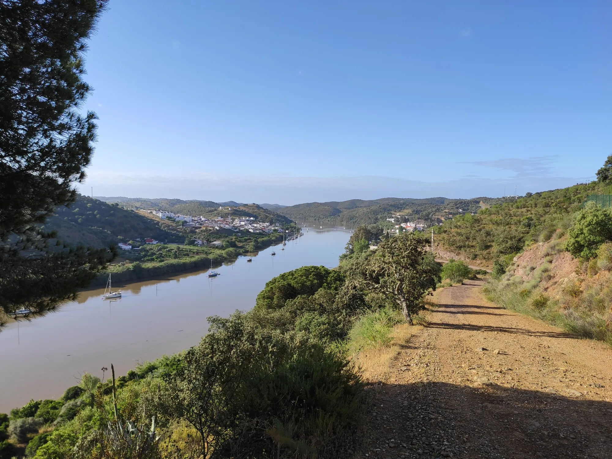
Stories of a river - Great Guadiana Route (GR 15)
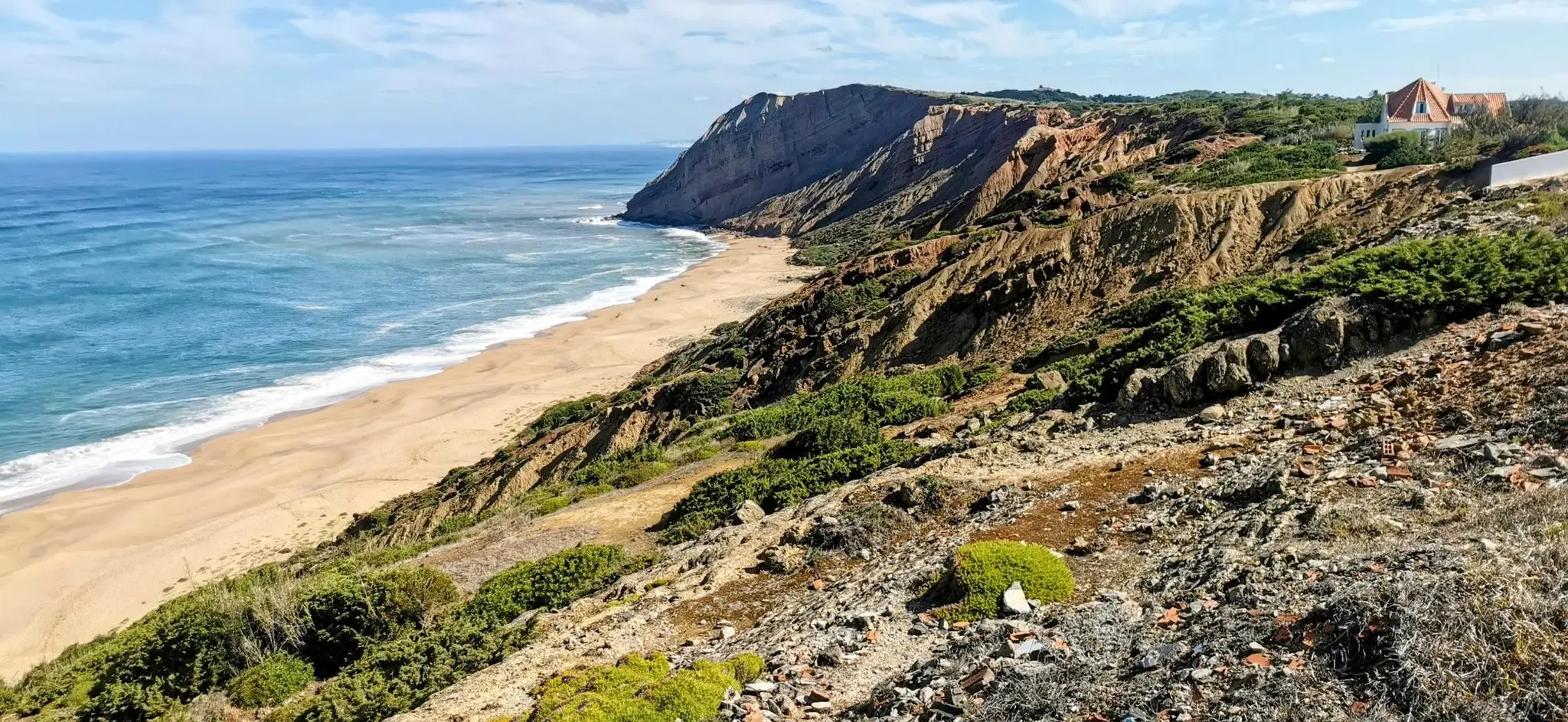
EuroVelo 1 Portugal – Cycle the Atlantic Coast
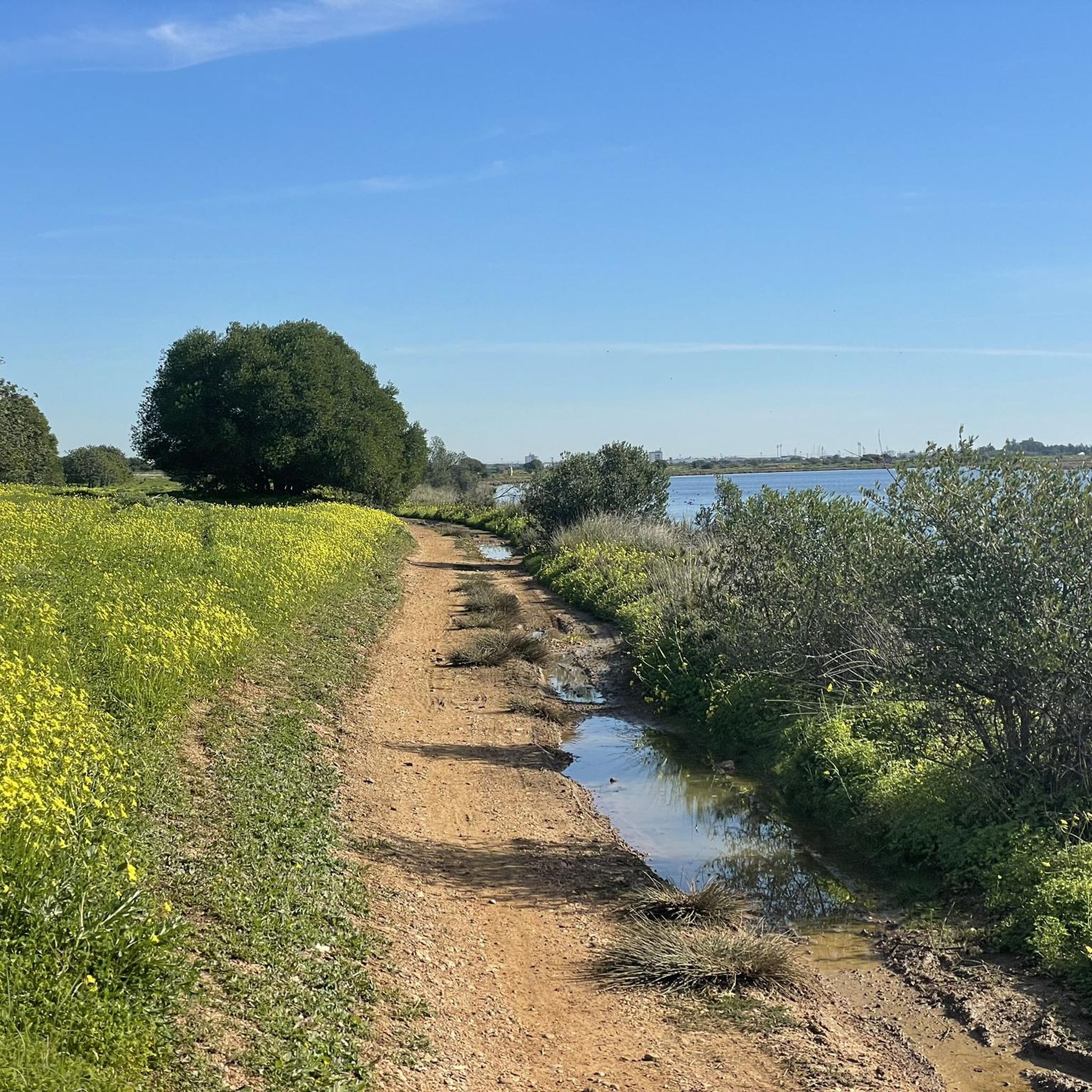
Running Trails around Vila Real De Santo António
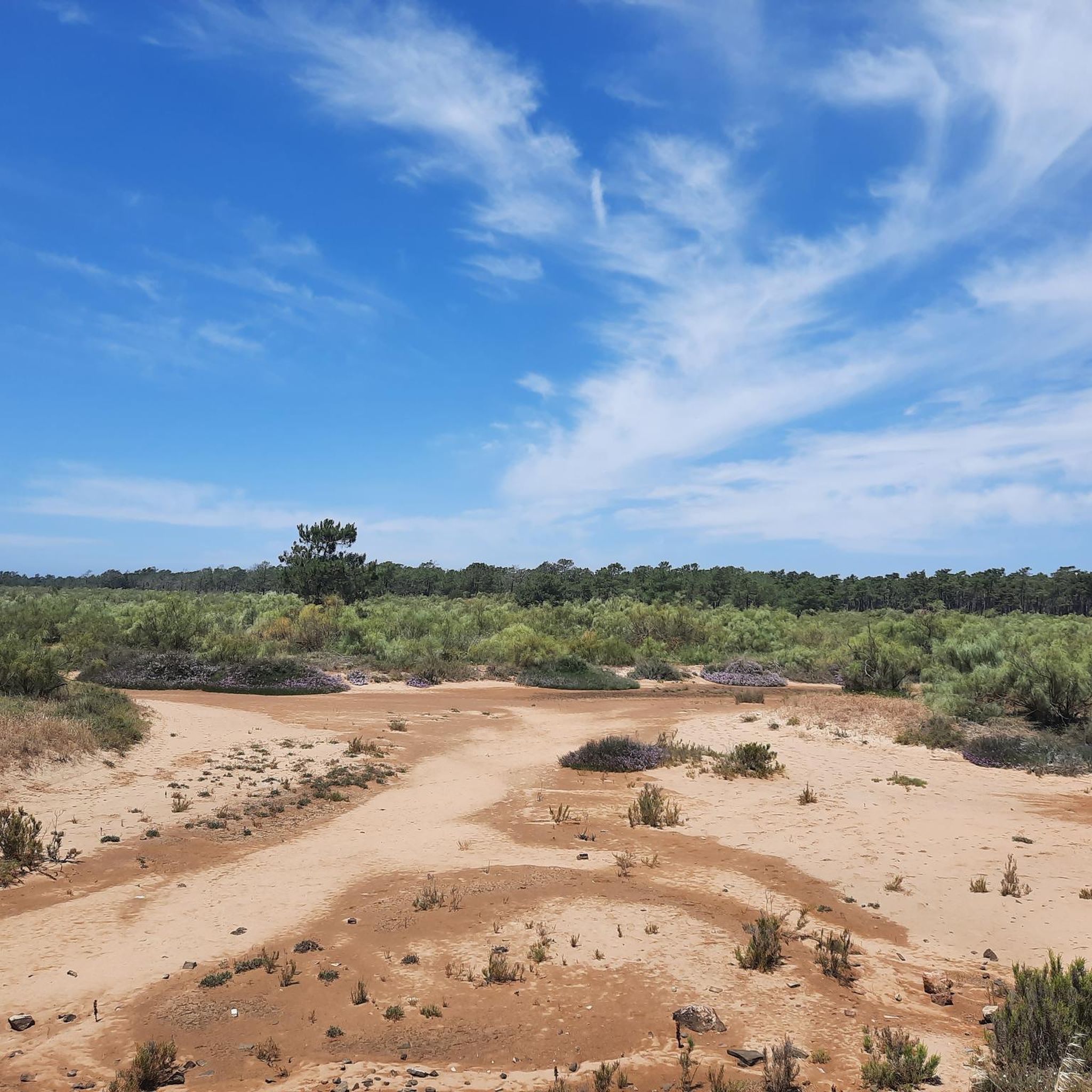
Road Cycling Routes around Vila Real De Santo António
Cycling around Vila Real De Santo António
MTB Trails around Vila Real De Santo António

Gravel biking around Vila Real De Santo António
Other adventures around Vila Real De Santo António


Tips from the Community

End of the railway line in the eastern Algarve.
0
0
The Castro Marim Salt Pans, located in the Castro Marim and Vila Real de Santo António Salt Marsh Nature Reserve, are a historical and ecological landmark of the Algarve, where the artisanal production of salt and fleur de sel remains alive. 👍
1
0

Vila Real de Santo António is located on the Gulf of Cádiz, which is part of the Atlantic Ocean, and on the right bank of the Guadiana River, whose lower reaches form the border between Portugal and Spain. The town boasts several attractions, charming restaurants, bars, and cafés! And of course, a lighthouse! 👀 A ferry ⛴️ runs hourly to the Spanish town of Ayamonte. ...
3
0
Vila Real de Santo António is located on the Gulf of Cádiz, which is part of the Atlantic Ocean, and on the right bank of the Guadiana River, whose lower reaches form the border between Portugal and Spain. The town is easily accessible by train! Vila Real de Santo António offers several attractions, charming restaurants, bars, and cafés! A ferry ⛴️ provides convenient hourly service to the Spanish town of Ayamonte. ...
4
0
Vila Real de Santo António is a municipality and town in the Faro District of Portugal. It lies on the Gulf of Cádiz, which is part of the Atlantic Ocean, and on the right bank of the Guadiana River, whose lower reaches form the border between Portugal and Spain. Ayamonte, in Spain, lies on the opposite bank of the Guadiana River.
3
0
Vila Real de Santo António is a municipality and town in the Faro District of Portugal. It lies on the Gulf of Cádiz, which is part of the Atlantic Ocean, and on the right bank of the Guadiana River, whose lower reaches form the border between Portugal and Spain. Ayamonte, in Spain, lies on the opposite bank of the Guadiana River.
5
0

The beauty of its beach and its safe, uninhabited waters attracted the first foreign tourists in the 1960s, giving it a pioneering role in the development of Algarve tourism. Today, Monte Gordo is an international tourist center, with a casino among its many amenities. (Source: Wikipedia)
1
0

The Vila Real de Santo António Lighthouse (Farol de Vila Real de Santo António) is located in the far east of the Algarve, near the Spanish border. Built in 1923, it stands 40 meters tall. Situated on the dunes near Praia de Santo António beach, the lighthouse guides ships approaching the mouth of the Guadiana River. It is a striking landmark in a flat coastal landscape and is sometimes open to the public on special days.
4
0
Frequently Asked Questions
How many hiking trails are available in Vila Real de Santo António?
Vila Real de Santo António offers a diverse network of over 30 hiking trails. These routes cater to various preferences, with 18 easy and 13 moderate trails available for exploration.
What kind of landscapes can I expect to see while hiking in Vila Real de Santo António?
Hiking in Vila Real de Santo António provides a rich variety of landscapes. You can explore extensive pine forests, such as the Mata Nacional das Dunas, tranquil riverine paths along the Rio Guadiana, and scenic coastal dunes leading to serene beaches. The region also features wetlands within the Castro Marim and Vila Real de Santo António Marsh Natural Reserve, offering unique natural settings.
Are there easy hiking trails suitable for beginners or casual walkers?
Yes, Vila Real de Santo António has 18 easy hiking trails perfect for beginners or those seeking a relaxed walk. An excellent option is the Mata de VRSA + Saúde Trail, an easy 4.0-mile (6.5 km) loop through the coastal pine forest.
Can I find circular hiking routes in the area?
Yes, there are several circular hiking routes available. A popular choice among local hikers is the Praia de Monte Gordo — circular route, which is 7.7 miles (12.4 km) long and takes you through coastal areas and beaches. Another option is the Passeio Pombalino — circular route (PR3), an easy 2.3-mile (3.7 km) walk.
Are the hiking trails in Vila Real de Santo António dog-friendly?
Many natural areas and trails in Vila Real de Santo António are suitable for walking with dogs, especially in the pine forests and along less crowded coastal paths. However, it's always advisable to keep dogs on a leash and be mindful of local regulations, particularly in protected natural reserves or on busy beaches during peak season.
Are there family-friendly hiking trails or activities in the region?
Yes, the region offers family-friendly options. The easy trails, such as those within the Mata Nacional das Dunas, are suitable for families. Additionally, within the Mata Nacional, the Parque Aventura provides an adventure course with high ropes and zip-wires, which can be a fun activity for both children and adults after a hike.
What natural attractions or landmarks can I discover along the hiking trails?
Along the trails, you can discover several natural attractions. The Mata Nacional das Dunas itself is a significant feature, offering shaded walks. The Rio Guadiana provides picturesque riverside views, and the Castro Marim and Vila Real de Santo António Marsh Natural Reserve is ideal for nature lovers. You might also encounter highlights like Odiel Marshes or Flamingos in the wetland areas.
Are there any historical sites or castles to visit near the hiking routes?
Yes, there are historical sites and castles nearby. You can visit the impressive Castro Marim Castle, which offers a glimpse into the region's past. Other notable structures include the Isla Canela Tower and Forte de São Sebastião.
Where can I go birdwatching while hiking in Vila Real de Santo António?
The Castro Marim and Vila Real de Santo António Marsh Natural Reserve is an excellent spot for birdwatching, where you can often observe flamingos. The Cerro do Bufo Trail, an 8.1-mile (13.1 km) moderate hike, also offers exceptional birdwatching opportunities in its wetland scenery.
Is parking available near the popular trailheads?
Yes, parking is generally available near popular trailheads, especially for routes accessing the Mata Nacional das Dunas and coastal areas. Specific parking information can often be found on local signage or detailed route descriptions.
Can I access hiking trails in Vila Real de Santo António using public transport?
Vila Real de Santo António is well-connected, and some trailheads, particularly those closer to the town center or along the coast, can be accessed via public transport. Local bus services operate within the municipality and connect to nearby towns, which may provide access points to various hiking routes.
What do other hikers say about their experience in Vila Real de Santo António?
The hiking routes in Vila Real de Santo António are highly rated by the komoot community, with an average score of 4.3 stars from over 190 reviews. Hikers often praise the region's varied terrain, from the peaceful pine forests to the scenic riverine and coastal paths, and appreciate the options available for different ability levels.
Most popular routes around Vila Real De Santo António
Most popular attractions around Vila Real De Santo António

Get inspired with the komoot mobile app


Explore more
Browse the best Hikes in other regions.
