The best road cycling routes around Teixeira
5.0
(1)
85
riders
5
rides
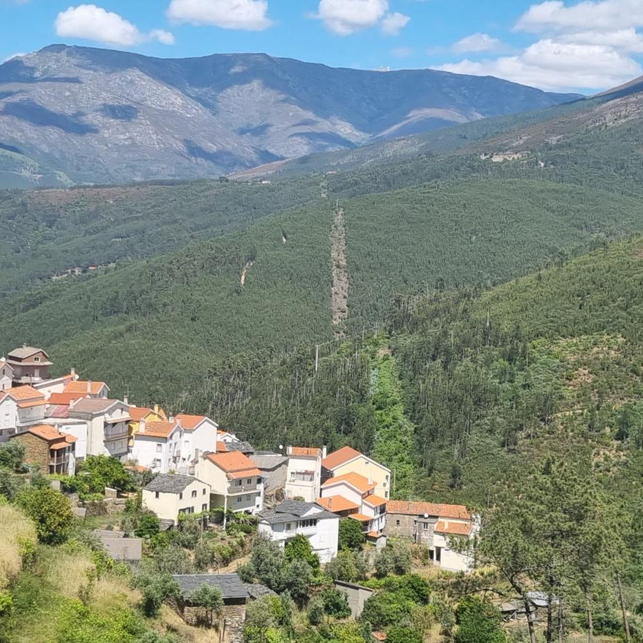
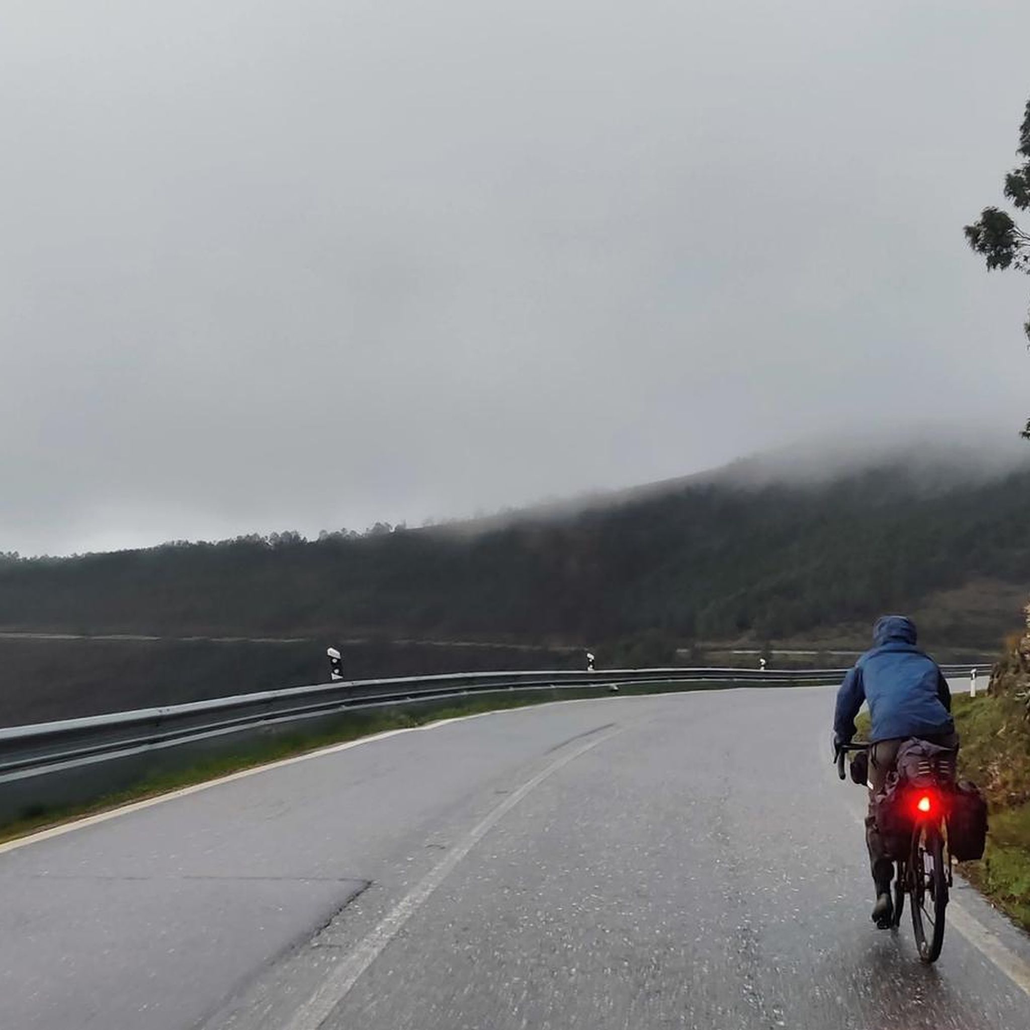
Road cycling around Teixeira offers routes through mountainous terrain and winding roads, characterized by significant elevation changes. The region, particularly near the Serra da Estrela Nature Park, features challenging climbs and scenic descents. Cyclists can expect routes that traverse natural features and provide panoramic views. The landscape is defined by its rugged topography, making it suitable for experienced road cyclists.
Best road cycling routes around Teixeira
- The most popular road cycling route is Cântaro Magro – Serra da Estrela loop from Serra da Estrela, a 19.2 miles (30.8 km) trail that takes 2 hours 14 minutes to complete. This difficult route features significant climbs within the Serra da Estrela mountain range.
- Another top favourite among local road cyclists is Mural A Farrapeira – Jardim do Lago loop from Poço do Lagar, a difficult 61.9 miles (99.7 km) path. This extensive route covers diverse terrain and is typically completed in about 5 hours 2 minutes.
- Local road cyclists also love the Vale de Loriga Viewpoint – Serra da Estrela loop from Vide e Cabeça, a 34.5 miles (55.6 km) trail leading through mountainous landscapes with scenic viewpoints, often completed in about 3 hours 31 minutes.
- Road cycling around Teixeira is defined by mountainous terrain, challenging climbs, and winding roads. The network offers options for moderate and difficult ability levels.
- The guide includes highly-rated routes that showcase the best of the region's landscape. More than 100 road cyclists have used komoot to explore Teixeira's varied terrain.
Last updated: July 2, 2026
35
riders
20.1km
01:28
620m
620m
Moderate road ride. Good fitness required. Mostly well-paved surfaces and easy to ride.
5.0
(1)
21
riders
102km
05:13
1,630m
1,630m
Hard road ride. Very good fitness required. Some segments of this route may be unpaved and difficult to ride.

Sign up for free
13
riders
55.8km
03:33
1,650m
1,650m
Hard road ride. Very good fitness required. Mostly well-paved surfaces and easy to ride.
9
riders
68.4km
04:09
1,730m
1,730m
Hard road ride. Very good fitness required. Mostly well-paved surfaces and easy to ride.
7
riders
50.5km
02:24
680m
680m
Moderate road ride. Good fitness required. Mostly well-paved surfaces and easy to ride.
Our route recommendations are based on thousands of hikes, rides, and runs completed by other people on komoot.
Start today with a free account
Your next adventure awaits.
Login or Signup
Popular around Teixeira
Tips from the Community

The Torre is the highest point of Continental Portugal, at 1,993 meters above sea level. It is located in the heart of the Serra da Estrela Natural Park and serves as the dividing line between the municipalities of Seia, Manteigas, and Covilhã. To reach the round 2,000 meters, King D. João VI had a stone monument built at the top of the plateau in the early 19th century.👍🥾
0
0
Cântaro Magro is one of the "commonplaces" of the Serra da Estrela mountain range, whose summit rises to 1928 m altitude, deserving a visit at any time of year. Viewed from west to east, its silhouette resembles a pitcher. In summer, its rocky face is interrupted by small terraces of soil, where some of the rarest botanical jewels of the mountain range grow. In winter, it is covered in snow and ice which, as they melt, form ephemeral waterfalls. These recall the overflowing liquid from the pitchers carried on the heads of women when, in the past, they went to the fountains. #CISE #VisitSeia #ParqueNaturaldaSerradaEstrela
0
0

goodbye vegetables 😔
0
0

The Serra da Estrela Natural Park is something truly special. This 1,000-square-kilometer park, spread across six municipalities, was the first and currently the largest protected natural park in Portugal. It is home to the highest point on the Portuguese mainland, the country's only ski slope, the source of two important rivers, and a fascinating, alpine-like landscape formed by glaciers.
5
1

At exactly 1993 meters above sea level, Torre is the highest point in mainland Portugal, where the only ski resort is located. The landscape on the upper plateau of the Serra da Estrela is like a sprinkling of granite rocks over low scrub and patches of snow and ice, which the sun threatens to melt soon in the summer and which always returns the following winter. In winter, it sometimes becomes inaccessible.
6
0

Cântaro Magro is one of the most iconic and spectacular rock formations in the Serra da Estrela, the highest mountain range in mainland Portugal. This imposing granite spire is the result of millions of years of glacial erosion and weathering. Its name, which means "Skinny Pitcher", perfectly describes its slender and elongated silhouette.
3
0
Nestled along the banks of the Alva River, Côja is immersed in a green environment, surrounded by mountains and forests. The village is characterized by traditional architecture, a charming Roman bridge and a peaceful atmosphere.
1
0
Frequently Asked Questions
How many road cycling routes are available around Teixeira?
There are over 5 road cycling routes around Teixeira documented on komoot, offering diverse experiences for cyclists. The region is known for its mountainous terrain and challenging climbs.
What kind of terrain can I expect on road cycling routes in Teixeira?
Road cycling in Teixeira is characterized by mountainous terrain and winding roads, particularly near the Serra da Estrela Nature Park. Cyclists should expect significant elevation changes, challenging climbs, and scenic descents. The landscape also features river gorges and, in some areas, terraced vineyards.
Are there challenging road cycling routes in Teixeira?
Yes, Teixeira is well-suited for experienced road cyclists seeking a challenge. Most routes are classified as difficult, featuring substantial climbs. For example, the Vale de Loriga Viewpoint – Serra da Estrela loop from Vide e Cabeça is a difficult 55.6 km trail with over 1600 meters of elevation gain.
Are there any easier road cycling routes for beginners or families?
While many routes in Teixeira are challenging, there is at least one moderate option available. The Roadbike loop from Vasco Esteves de Cima is a 50.5 km route with over 670 meters of elevation gain, offering a less strenuous experience compared to the more difficult trails.
What are some scenic viewpoints or landmarks I can see while cycling in Teixeira?
The region offers breathtaking views. You can cycle towards Torre (Serra da Estrela Summit), the highest point in mainland Portugal, for panoramic vistas. Other notable sights include the dramatic Sil River Canyon (if cycling in the Galicia region of A Teixeira) and the unique terraced vineyards.
Can I find routes that pass by natural features like waterfalls or lakes?
Absolutely. Several routes allow you to experience the region's natural beauty. You might encounter natural features such as Poço da Broca de Serapitel, a beautiful waterfall, or cycle near the serene Covão do Ferro Lake. The region also features river beaches like Praia Fluvial de Loriga.
Are there circular road cycling routes in Teixeira?
Yes, most of the road cycling routes around Teixeira are designed as loops, allowing you to start and finish at the same point. Examples include the Cântaro Magro – Serra da Estrela loop from Serra da Estrela and the Mural A Farrapeira – Jardim do Lago loop from Poço do Lagar.
What is the best time of year for road cycling in Teixeira?
The best time for road cycling in Teixeira is generally during the spring and autumn months when temperatures are milder and the natural scenery is vibrant. Summer can be hot, especially on climbs, while winter might bring colder temperatures and potential snow at higher elevations in Serra da Estrela.
Are there any routes that offer a mix of cultural and natural sights?
Yes, the region's rich history and stunning nature often intertwine. While cycling, you might pass through areas near the Historical Village of Piódão, known for its unique schist architecture, or encounter ancient Romanesque monasteries if exploring the A Teixeira area in Galicia, Spain.
Is parking available for road cyclists in Teixeira?
While specific parking information for each route start point isn't always detailed, many routes begin from villages or towns where general public parking is usually available. It's advisable to check local parking options in the starting location of your chosen route.
Can I access road cycling routes in Teixeira using public transport?
Accessing the more remote road cycling routes in Teixeira primarily relies on personal transport due to the mountainous and rural nature of the region. Public transport options might be limited to larger towns, requiring additional planning to reach specific starting points for routes.
Are there any long-distance road cycling routes for endurance riders?
For endurance riders, Teixeira offers routes like the Mural A Farrapeira – Jardim do Lago loop from Poço do Lagar, which spans nearly 100 km with over 1500 meters of elevation gain, typically taking over 5 hours to complete. These routes provide extensive mileage and significant climbing challenges.
Most popular routes around Teixeira
Most popular attractions around Teixeira

Get inspired with the komoot mobile app


Explore more
Browse the best Road cycling routes in other regions.
