The best walks and hikes around Unhos
4.6
(298)
3,737
hikers
113
hikes
Hiking around Unhos offers a variety of trails primarily characterized by their proximity to urban areas and riverfronts. The landscape features flat terrain with minimal elevation gain, making it suitable for accessible walks. The region's trails often follow the Tagus River estuary, providing open views and connecting various points of interest.
Best hiking trails around Unhos
- The most popular hiking route is Oceanário de Lisboa – Iberian Lynx Sculpture loop from MEO Arena, an easy 4.8 miles (7.7 km)…
Last updated: June 24, 2026
5.0
(1)
86
hikers
7.53km
01:55
20m
20m
Easy hike. Great for any fitness level. Easily-accessible paths. Suitable for all skill levels.
4.7
(33)
97
hikers
Moderate hike. Good fitness required. Easily-accessible paths. Suitable for all skill levels.

Sign up for free
5.0
(4)
73
hikers
7.16km
01:50
30m
30m
Easy hike. Great for any fitness level. Easily-accessible paths. Suitable for all skill levels.
5.0
(2)
33
hikers
Moderate hike. Good fitness required. Easily-accessible paths. Suitable for all skill levels.
5.0
(1)
45
hikers
Easy hike. Great for any fitness level. Easily-accessible paths. Suitable for all skill levels.
Get access to more routes and recommendations from other explorers.
Sign up for free
Already have an account?
Our route recommendations are based on thousands of hikes, rides, and runs completed by other people on komoot.
Start today with a free account
Your next adventure awaits.
Login or Signup


Tips from the Community

The Lisbon Oceanarium features several tanks representing different regions of the world, including tropical fish, jellyfish, penguins, sea otters, and pufferfish, as well as a 5,000 m³ main aquarium with sharks, rays, tuna, and a sunfish, which can be viewed from the two floors of the Oceanarium. It is open daily from 10:00 AM to 8:00 PM, with last entry at 7:00 PM (however, you should allow 2-4 hours for your visit). Tickets can be purchased online to avoid queuing.
0
0

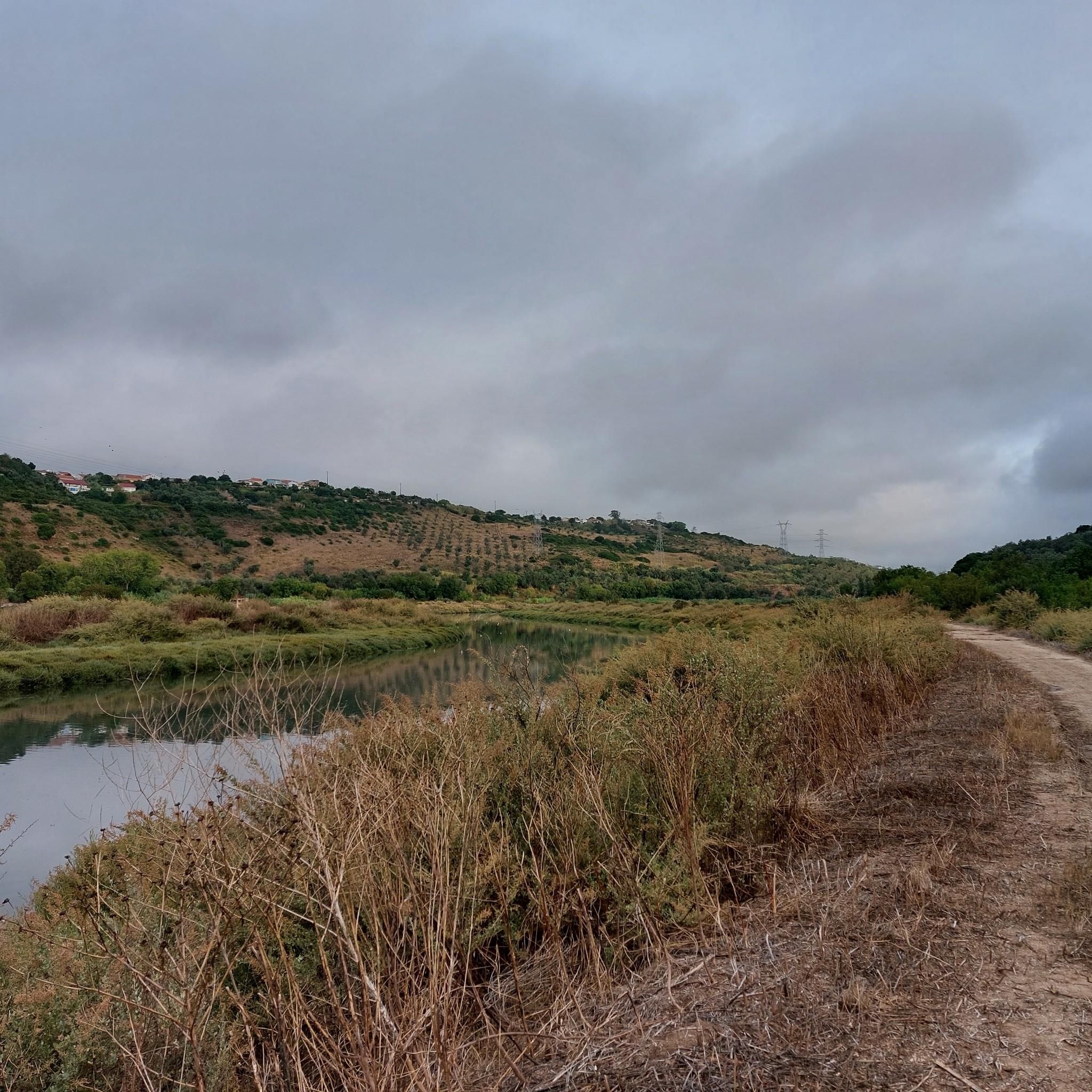
The Tagus Estuary Nature Reserve (RNET) is located in an area of high natural richness and diversity. Covering approximately 14,415 hectares, it is integrated into the largest wetland area in Portugal – the Tagus Estuary, including estuarine waters, sandbanks, salt pans, agricultural land, and cork oak forests. The connectivity of these habitats ensures the presence of a great diversity of living beings, such as mollusks, crustaceans, and small amphibians. It is also a nursery for various species of marine fish and a very important ecosystem for migratory fish. The estuary is also of great importance to aquatic birds, being one of the places with the most wintering birds in Europe.
1
0


The Teleférico do Parque das Nações (also Teleférico da Expo) is a cable car in the Parque das Nações in the Portuguese capital Lisbon. It was built for the World Expo '98 on the right bank of the Tagus River and runs 1,230 meters from the Vasco da Gama Tower to the Oceanarium.
5
1
The Vasco da Gama Bridge is officially the second-longest bridge in Europe at 17.2 km (10.6 miles). Adding the 12.345 km (7.64 miles) of structural bridgework to the 4.84 km (3.91 miles) of roadwork, the road concept for this Tagus River crossing results in a route length of 17.185 km (10.66 miles). The maximum span is 420 meters (139 feet), and the pylons are 155 meters (510 feet) high. The A12 motorway crosses the bridge with six lanes.
6
1
The elevator to the top of the tower, with its fantastic view, costs 10 euros. There's a bar at the top with exorbitant prices.
6
1
Ingenious: you have to look closely to see what kind of junk the Lynx is made of.
5
1
Frequently Asked Questions
How many hiking trails are available around Unhos?
There are over 100 hiking trails around Unhos. The majority, more than 80, are classified as easy, making the area very accessible for various fitness levels and experiences.
What kind of terrain and scenery can I expect on hikes around Unhos?
Hiking around Unhos primarily features flat terrain with minimal elevation gain, often following the Tagus River estuary. You can expect open views along the riverfront, urban green spaces, and paths that connect various points of interest within the area.
Are there any easy or family-friendly hiking trails in Unhos?
Yes, Unhos is well-suited for easy and family-friendly hikes due to its flat terrain and minimal elevation. A great option is the Trancão Walk – Trancão Pedestrian and Cycle Bridge loop from MEO Arena, an easy 4.7-mile (7.5 km) route that offers pleasant riverside walking.
Can I find circular hiking routes in Unhos?
Many of the trails around Unhos are designed as loops, offering convenient circular routes. For example, the Vasco da Gama Bridge – Vasco da Gama Tower loop from Sacavém is an easy 4.5-mile (7.2 km) trail that takes you through urban riverside areas and returns to your starting point.
Are there any interesting landmarks or attractions to see along the hiking trails?
Yes, several trails offer views of notable landmarks. You might encounter the Iberian Lynx Sculpture or the Vasco da Gama Tower. The region's proximity to Lisbon also means you're not far from attractions like the National Pantheon.
What do other hikers say about the trails in Unhos?
The komoot community highly rates the trails in Unhos, with an average score of 4.6 stars from nearly 300 reviews. Hikers often praise the accessible riverside paths, the flat terrain, and the varied scenery that combines urban elements with natural river views.
Are there dog-friendly hiking options in Unhos?
Many of the open, riverside paths and urban green spaces around Unhos are suitable for walking with dogs. Always ensure your dog is under control and check for any local regulations regarding pets in specific areas or nature reserves.
What is the best season for hiking around Unhos?
Due to the generally mild climate and flat terrain, hiking around Unhos is enjoyable for much of the year. Spring and autumn offer pleasant temperatures, while winter can still be suitable on clear days. Summer can be warm, so early morning or late afternoon hikes are recommended.
Are there longer hiking routes for more experienced hikers?
While many trails are easy, there are longer options for those seeking a more extended experience. The Loures Riverside Trail – Trancão Pedestrian and Cycle Bridge loop from Sacavém is a moderate 10.6-mile (17.0 km) path that follows the river, providing a longer journey with varied scenery.
Are there less crowded hiking routes available in Unhos?
While some popular riverside sections can see more activity, exploring routes slightly further from the main urban hubs or during off-peak hours can offer a quieter experience. The extensive network of trails means you can often find peaceful stretches, especially on weekdays.
Can I combine hiking with running on these trails?
Yes, the flat terrain and well-maintained paths along the Tagus River estuary make many of the routes around Unhos ideal for combining hiking with running. The smooth surfaces are suitable for both activities, offering a great way to explore the area at a faster pace.
What kind of gear is recommended for hiking in Unhos?
Given the flat terrain, standard comfortable walking shoes are usually sufficient. For longer routes, light hiking shoes are recommended. Always bring water, sun protection (hat, sunscreen), and a light jacket, as conditions can change, especially near the river.
Most popular attractions around Unhos

Get inspired with the komoot mobile app


Explore more
Browse the best Hikes in other regions.
