The best walks and hikes around Carvoeira e Carmões e Carmões e Carmões
4.4
(22)
80
hikers
21
hikes
Hiking around Carvoeira e Carmões e Carmões e Carmões offers a landscape characterized by hills and valleys, with routes often leading through natural areas and past historical sites. The region features varied terrain, including ascents to local peaks and paths through rural settings. This area provides a range of hiking experiences, from easier walks to more challenging climbs.
Best hiking trails around Carvoeira e Carmões e Carmões e Carmões
- The most popular hiking route is Montejunto Peak Loop, a…
Last updated: July 8, 2026
5.0
(2)
7
hikers
11.7km
03:44
510m
520m
Hike the moderate 7.3-mile Serra do Socorro circular route, featuring panoramic views and historical landmarks like Forte da Archeira.
4.3
(6)
9
hikers
10.0km
02:50
230m
230m
Hike the 6.2-mile circular route from Sobral de Monte Agraço to Baloiço da Chã, a moderate trail with panoramic swings and views.

Sign up for free
3.0
(1)
6
hikers
10.6km
03:05
270m
280m
Moderate hike. Good fitness required. Easily-accessible paths. Suitable for all skill levels.
4.5
(2)
9
hikers
14.2km
04:05
350m
350m
Moderate hike. Good fitness required. Easily-accessible paths. Suitable for all skill levels.
3
hikers
7.73km
02:06
110m
110m
Moderate hike. Good fitness required. Easily-accessible paths. Suitable for all skill levels.
Get access to more routes and recommendations from other explorers.
Sign up for free
Already have an account?
Our route recommendations are based on thousands of hikes, rides, and runs completed by other people on komoot.
Start today with a free account
Your next adventure awaits.
Login or Signup
Popular around Carvoeira e Carmões e Carmões e Carmões


Tips from the Community

The castle of Torres Vedras is an important part of Portuguese history. It was a strategic point in the fight against the Moors and later against Napoleon. The castle was conquered in 1147 by Afonso Henriques, the first king of Portugal.
2
0
Today I was lucky and was able to visit the ruins as well.
2
0

Castelo de Torres Vedras is an imposing medieval fortress, with a history that dates back to Roman times and a significant role in the Napoleonic Wars (as part of the Lines of Torres Vedras). The castle represents an important historical heritage. If you want to stop here for a break you can explore its ancient walls and enjoy panoramic views of the city and the surrounding landscape.
0
0
The castle is not that great
4
0
Castle complex was closed, I would have liked to have seen it
4
0

Short hike from Chã to the beautiful viewpoint with a swing.
2
0
An excavation site - settlement from the 3rd and 2nd millennium BC. Chr. Castro do Zambujal is one of the most complex prehistoric fortified villages on the Iberian Peninsula.
2
4

Located at the top of the mountain, the Hermitage of Nossa Senhora do Socorro, originally a mosque, was converted into a Catholic temple by D. Afonso Henriques and rebuilt during the reign of D. Manuel I. It offers panoramic views and displays Manueline stones inside.
1
0
Frequently Asked Questions
How many hiking trails are available in Carvoeira e Carmões e Carmões e Carmões?
The region of Carvoeira e Carmões e Carmões e Carmões offers a diverse network of over 20 hiking trails. These routes cater to various skill levels, including 7 easy, 13 moderate, and 2 difficult options.
What is the best time of year to go hiking in Carvoeira e Carmões e Carmões e Carmões?
The region's climate makes it suitable for hiking for much of the year. Spring and autumn generally offer the most pleasant temperatures for exploring the trails. While summer can be warm, early mornings or late afternoons are often ideal. Winter hiking is also possible, though some trails might be muddier after rain.
Are there any easy hiking trails suitable for beginners or families?
Yes, Carvoeira e Carmões e Carmões e Carmões has 7 easy hiking trails perfect for beginners or families. These routes typically feature gentler inclines and shorter distances, allowing for a relaxed outdoor experience. For a moderate option that is still family-friendly, consider the Sobral de Monte Agraço Swings Trail, which is 6.2 miles (10.0 km) long.
Can I find circular hiking routes in the region?
Yes, several circular routes are available, allowing you to start and end your hike at the same point. A notable option is the Route of Serra da Archeira — circular route, which covers 6.6 miles (10.6 km) through varied landscapes.
What kind of terrain can I expect on hikes in Carvoeira e Carmões e Carmões e Carmões?
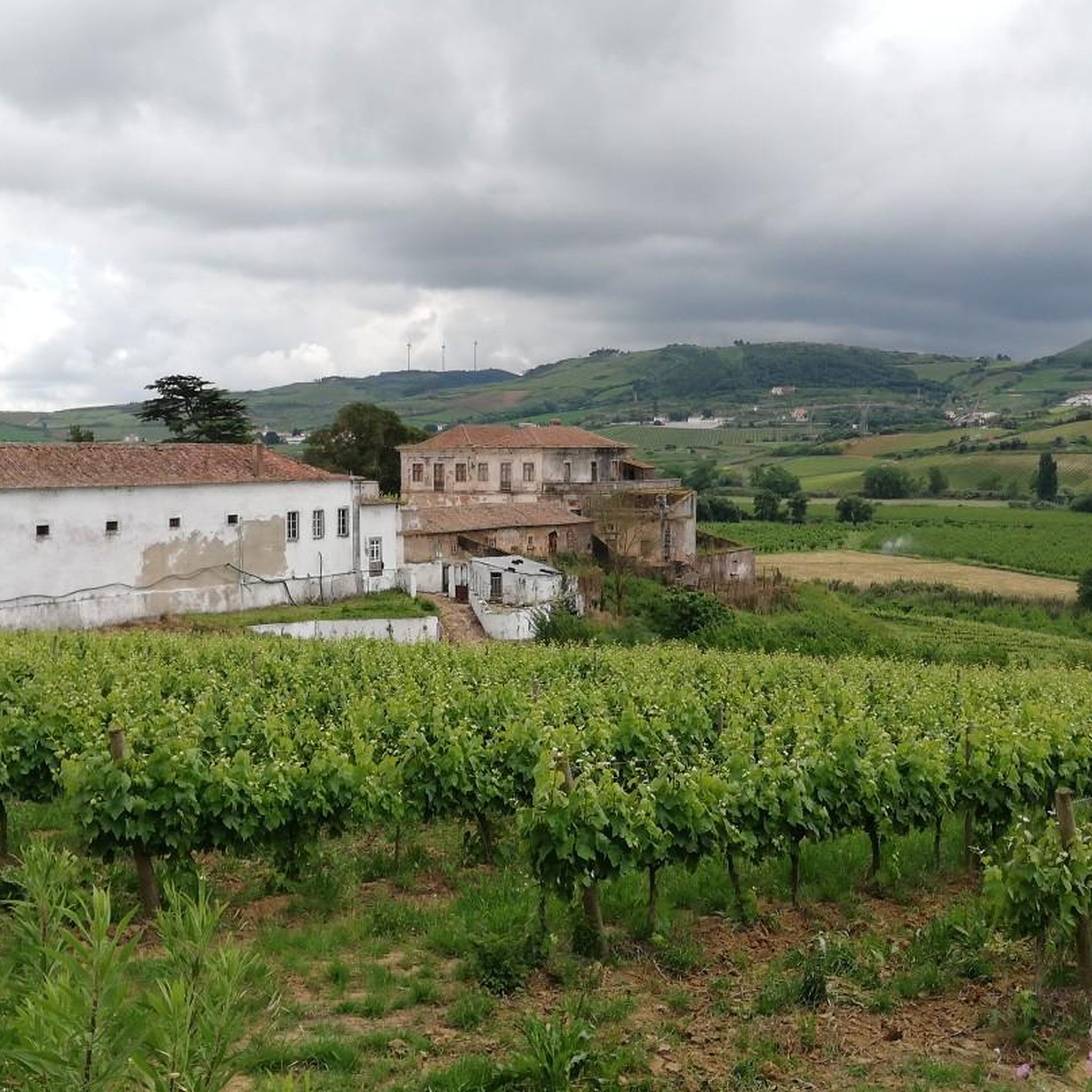
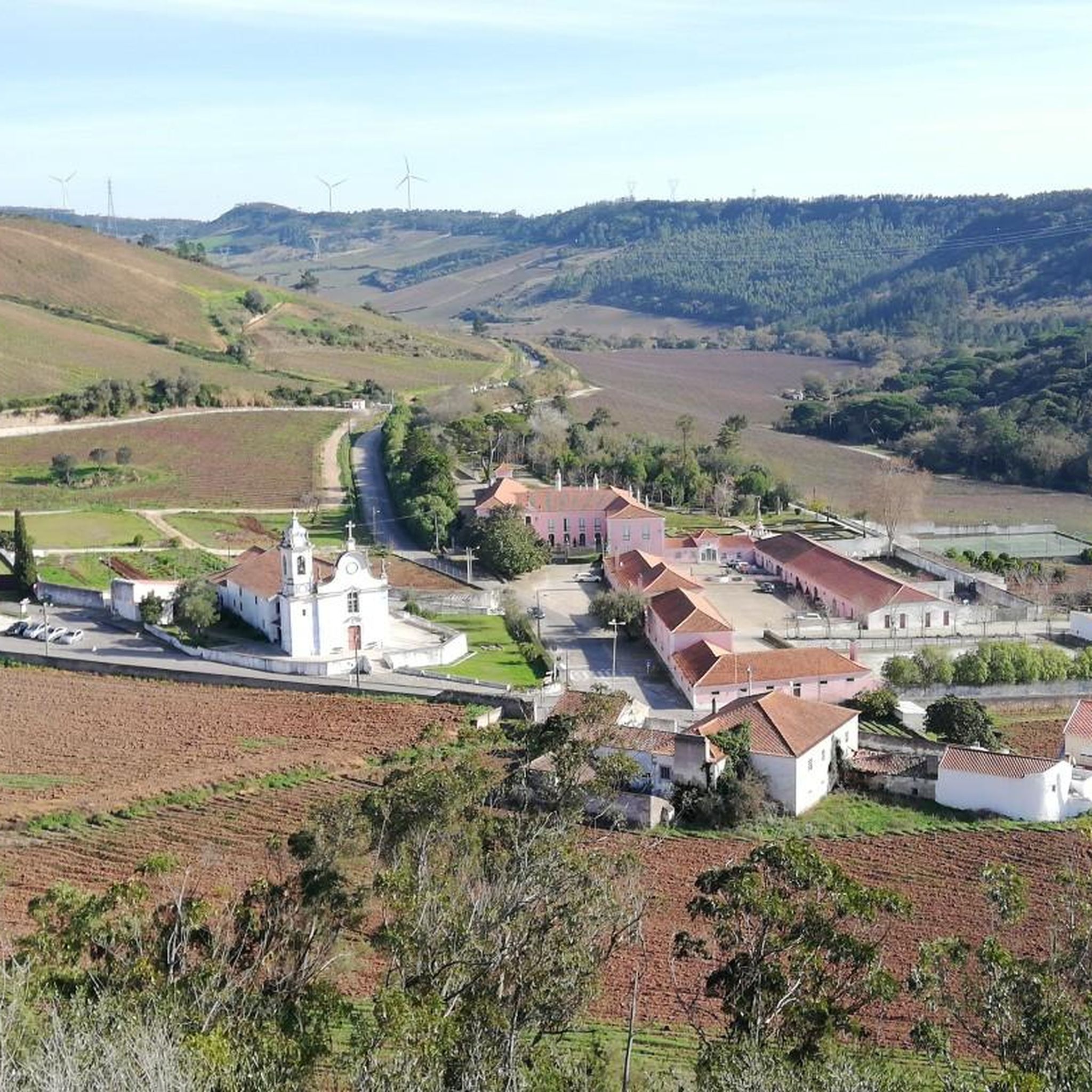
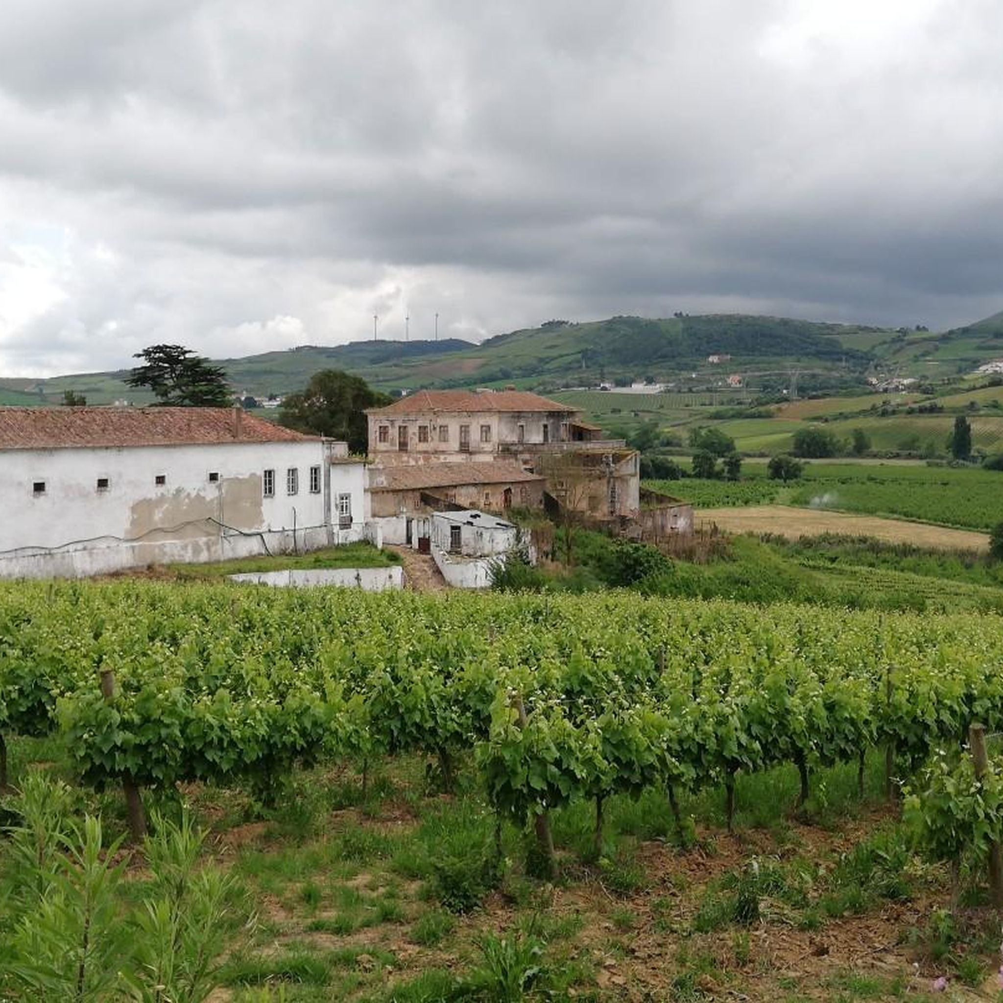
The terrain in Carvoeira e Carmões e Carmões e Carmões is characterized by rolling hills and valleys, with paths often winding through rural settings and natural areas. You can expect a mix of dirt tracks, country roads, and some ascents, especially on trails leading to higher points like Montejunto Peak.
What interesting landmarks or attractions can I see while hiking?
Many trails in the region pass by historical and natural points of interest. You can explore sites like the historic Castelo de Torres Vedras, the charming Moinho de Avis, or the impressive Forte da Archeira. The region also features natural monuments such as the Windmills of Serra de Montejunto.
Are there any viewpoints offering scenic vistas?
Absolutely. The region's hilly landscape provides several opportunities for panoramic views. A popular spot is the Surkapas Swing with a View of the Montejunto Mountains, which offers stunning vistas of the surrounding area.
Is public transport available to access hiking trails?
While some trails might be accessible via local bus routes connecting to nearby towns, public transport options can be limited for direct access to all trailheads. It's advisable to check local bus schedules and routes in advance if you plan to rely on public transport.
Where can I park my car when visiting the trails?
Many trailheads, especially those near villages or popular starting points, offer designated parking areas. For specific routes, it's recommended to check the tour details on komoot, as users often provide information about parking availability and locations in their tour descriptions or comments.
Are dogs allowed on the hiking trails?
Generally, dogs are welcome on most hiking trails in the Carvoeira e Carmões e Carmões e Carmões region, especially in rural and natural areas. However, it's always best to keep them on a leash, especially when passing through agricultural land or near wildlife, and to respect any local signage regarding pet restrictions.
What do other hikers enjoy most about the trails in Carvoeira e Carmões e Carmões e Carmões?
The trails in Carvoeira e Carmões e Carmões e Carmões are highly rated by the komoot community, with an average score of 4.5 stars from over 20 reviews. Hikers often praise the varied terrain, the blend of natural beauty with historical sites, and the peaceful rural atmosphere that defines the region's outdoor experience.
What is the typical duration for hikes in this region?
Hiking durations vary significantly depending on the trail's length and difficulty. For example, the challenging Montejunto Peak Loop can take around 5 hours 36 minutes, while a moderate route like the Route of Charms (PR9 TVD) typically takes about 3 hours 44 minutes. Shorter, easier trails can be completed in 1-2 hours.
Are there any cafes or places to eat near the hiking trails?
Many of the hiking trails pass through or near small villages and towns where you can find local cafes, restaurants, or small shops to refuel. It's a good idea to check the specific route you plan to take and research nearby amenities in advance, especially for longer hikes.
Most popular routes around Carvoeira e Carmões e Carmões e Carmões
Most popular attractions around Carvoeira e Carmões e Carmões e Carmões

Get inspired with the komoot mobile app


Explore more
Browse the best Hikes in other regions.
