The best cycling routes around Santa Iria De Azoia
4.5
(213)
2,146
riders
13
rides
Touring cycling routes around Santa Iria De Azoia are situated within a region characterized by its diverse topography, including coastal areas and varied inland landscapes. The terrain offers a mix of elevations, from flatter sections near the coast to more undulating paths further inland. This area provides a range of cycling experiences, suitable for different skill levels.
Best touring cycling routes around Santa Iria De Azoia
- The most popular touring cycling route is Palha Blanco Bullring – Cais da Jorna…
Last updated: July 8, 2026
3.8
(5)
32
riders
60.2km
03:35
210m
210m
Moderate bike ride. Good fitness required. Mostly paved surfaces. Suitable for all skill levels.
4.5
(2)
18
riders
62.8km
03:50
390m
390m
Moderate bike ride. Good fitness required. Mostly paved surfaces. Suitable for all skill levels.

Sign up for free
5.0
(4)
5
riders
19.1km
01:24
160m
160m
Moderate bike ride. Good fitness required. Mostly paved surfaces. Suitable for all skill levels.
3.0
(1)
6
riders
10.2km
00:40
30m
30m
Easy bike ride. Great for any fitness level. Mostly paved surfaces. Suitable for all skill levels.
5
riders
73.7km
04:54
830m
830m
Hard bike ride. Very good fitness required. Mostly paved surfaces. Suitable for all skill levels.
Get access to more routes and recommendations from other explorers.
Sign up for free
Already have an account?
Our route recommendations are based on thousands of hikes, rides, and runs completed by other people on komoot.
Start today with a free account
Your next adventure awaits.
Login or Signup

Tips from the Community

The Tagus Estuary Nature Reserve (RNET) is located in an area of high natural richness and diversity. Covering approximately 14,415 hectares, it is integrated into the largest wetland area in Portugal – the Tagus Estuary, including estuarine waters, sandbanks, salt pans, agricultural land, and cork oak forests. The connectivity of these habitats ensures the presence of a great diversity of living beings, such as mollusks, crustaceans, and small amphibians. It is also a nursery for various species of marine fish and a very important ecosystem for migratory fish. The estuary is also of great importance to aquatic birds, being one of the places with the most wintering birds in Europe.
1
0


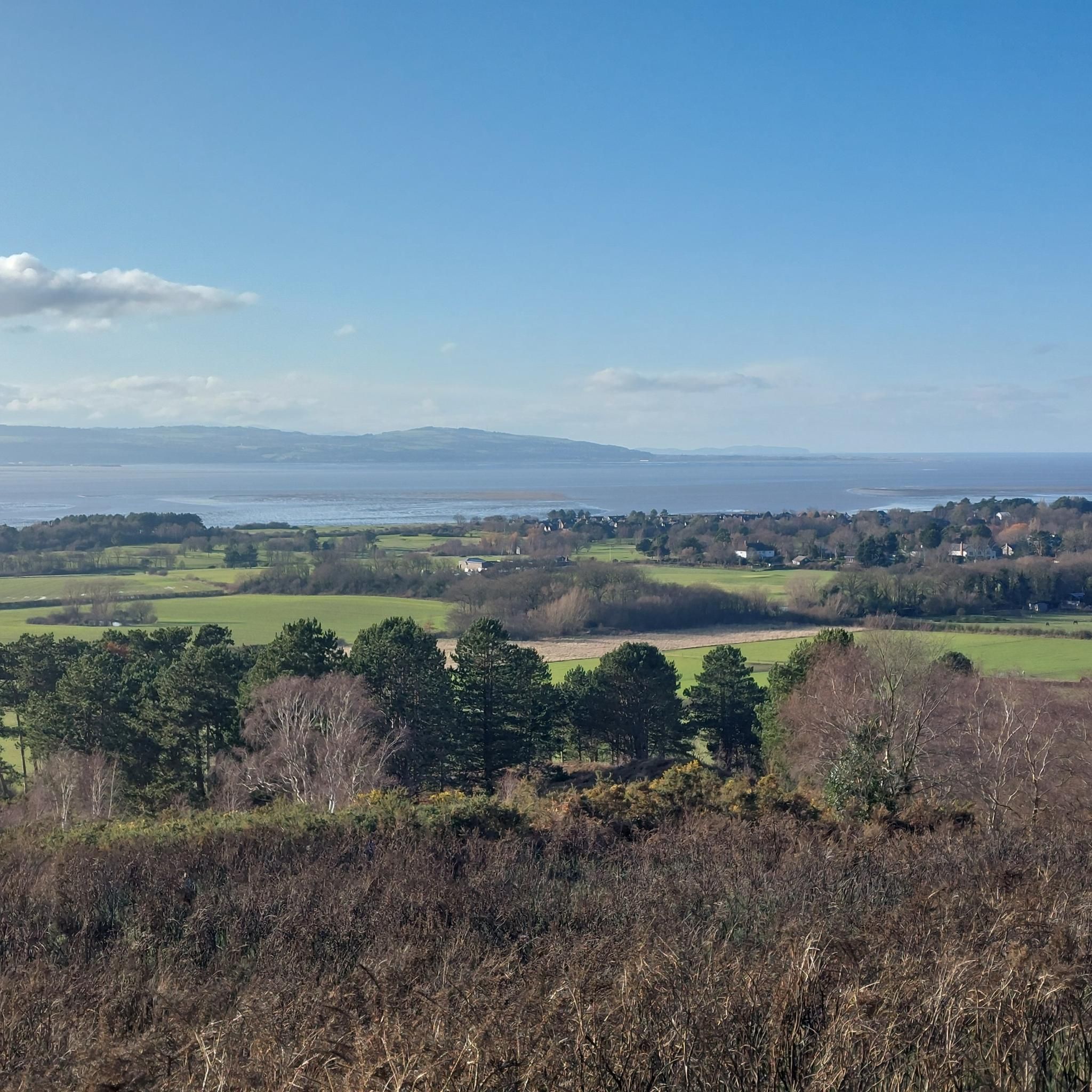
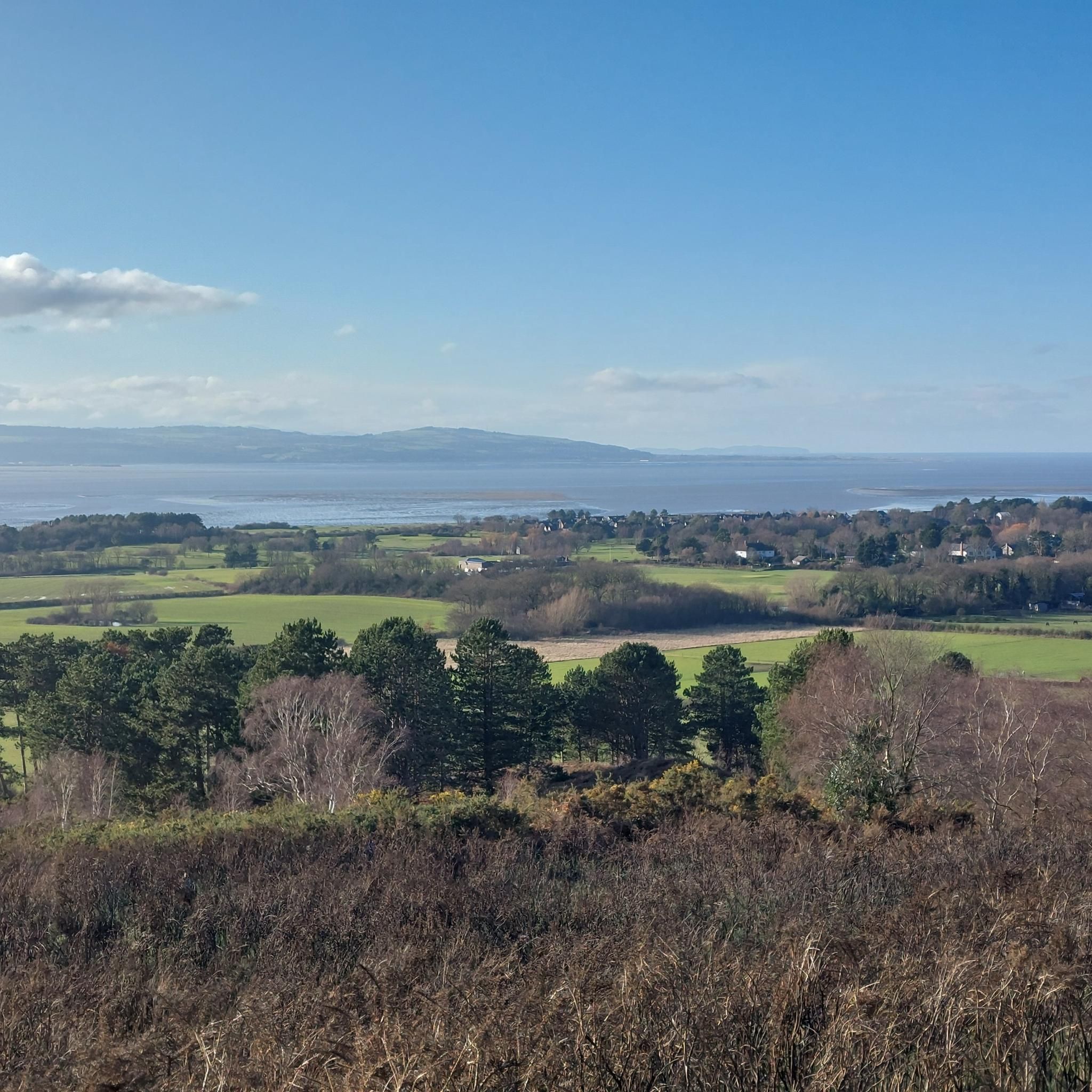
Bar, public toilets, free beach volley field, and a beautiful view on river Tejo
1
0
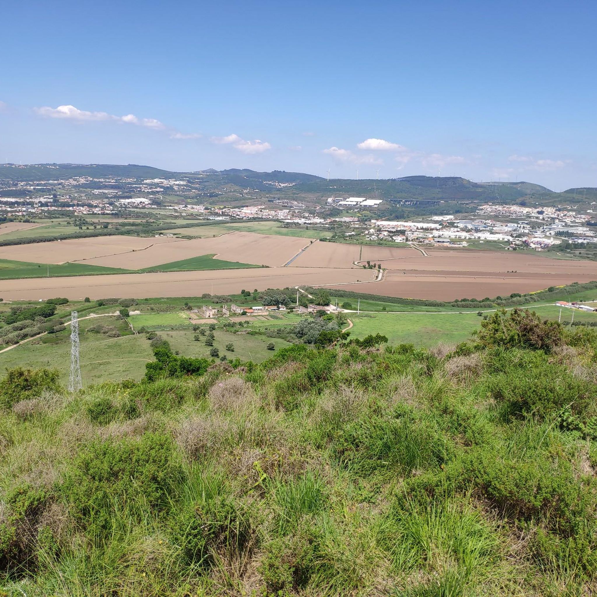
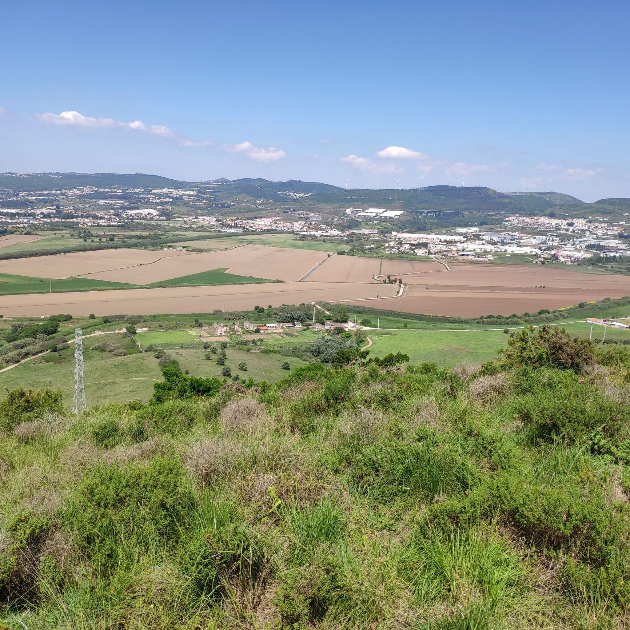
Official path of the Caminho de Fátima, it gets really muddy in case of rain but definitely a beautiful gravel road.
0
0

The Picnic Park in Alhandra is a popular place for leisure and recreation. Here is some information: Features 1. Location: Alhandra, municipality of Vila Franca de Xira, district of Lisbon. 2. Area: Approximately 10 hectares. 3. Landscape: Gardens, forest and views of the Tagus River. 4. Facilities: Picnic tables, benches, toilets and parking. Activities 1. Picnics and picnics. 2. Walks and hiking trails. 3. Bird and wildlife watching. 4. Fishing in the Tagus River. 5. Outdoor games and activities. Facilities 1. Rest and leisure areas. 2. Children's playground. 3. Sports courts. 4. Football and basketball pitches. 5. Restaurant and bar.
3
0

Frequently Asked Questions
What kind of terrain can I expect on touring cycling routes around Santa Iria De Azoia?
The region around Santa Iria De Azoia, part of São Miguel Island in the Azores, offers a diverse topography. You'll find a mix of coastal paths, riverfront sections, and varied inland landscapes. The terrain includes flatter sections near the coast, but also more undulating paths and significant elevation changes further inland, shaped by the island's volcanic activity. This provides a range of experiences from gentle rides to challenging ascents.
Are there touring cycling routes suitable for beginners in Santa Iria De Azoia?
Yes, there are routes suitable for beginners. Out of the 14 touring cycling routes available, 2 are classified as easy. An example of an easier route is the Alverca loop from Santa Iria, which covers 11.5 miles (18.5 km) with moderate elevation gain, making it a good option for those looking for a less strenuous ride.
What about more challenging touring cycling routes for experienced cyclists?
For experienced cyclists seeking a challenge, there are 5 difficult touring cycling routes around Santa Iria De Azoia. One such route is the I Love Alhandra Photo Spot – Cais da Jorna Monument loop from Santa Iria. This route spans 48.7 miles (78.4 km) and features substantial elevation changes, offering a demanding yet rewarding experience through diverse landscapes.
What natural features and landmarks can I see along the touring cycling routes near Santa Iria De Azoia?
The region is rich in natural beauty and interesting landmarks. You can expect to encounter dramatic volcanic landscapes, lush greenery, and coastal views. While cycling, you might pass by the Iberian Lynx Sculpture, or catch glimpses of the Tagus River. The broader São Miguel island is known for its crater lakes like Sete Cidades and Lagoa do Fogo, and stunning coastal cliffs, which define the scenic backdrop of the area.
Are there any specific viewpoints worth visiting on a touring cycling trip?
Yes, the region offers several scenic viewpoints. The Vasco da Gama Tower provides panoramic views over the Tagus River and surrounding areas. More broadly, the Miradouro de Santa Iria on São Miguel Island is renowned for its stunning panoramic views, offering a memorable mix of volcanic wonders and serene island landscapes that are characteristic of the Azores.
Are there circular touring cycling routes available?
Yes, many of the touring cycling routes around Santa Iria De Azoia are designed as loops, allowing you to start and end at the same point. For example, the Palha Blanco Bullring – Bullfighter Statue loop from Santa Iria is a moderate 36.4-mile (58.6 km) path that offers views of local landmarks and varied scenery, bringing you back to your starting point.
How many touring cycling routes are there in total around Santa Iria De Azoia?
There are 14 touring cycling routes available around Santa Iria De Azoia, catering to various skill levels and preferences. These routes offer a range of distances and elevations, allowing cyclists to explore the diverse coastal and inland features of the region.
What is the best time of year for touring cycling in Santa Iria De Azoia?
Santa Iria De Azoia, as part of São Miguel Island, benefits from a mild climate. The island is often referred to as 'The Green Island' due to its lush vegetation, which is vibrant year-round. While cycling is possible throughout the year, spring and early autumn generally offer pleasant temperatures and less rainfall, making them ideal for exploring the routes and enjoying the scenic beauty without extreme heat or heavy downpours.
What do other touring cyclists say about the routes in Santa Iria De Azoia?
The touring cycling routes in Santa Iria De Azoia are highly rated by the komoot community, with an average score of 4.4 stars from over 30 reviews. Cyclists often praise the varied terrain, which includes both coastal paths and inland sections, and the opportunities to explore local landmarks and diverse landscapes. Over 400 touring cyclists have used komoot to discover the area's routes.
Are there any family-friendly touring cycling routes in the area?
While specific 'family-friendly' designations are not provided for all routes, the presence of easy-grade routes suggests options suitable for families. The Alverca loop from Santa Iria, for instance, is an easy route with a manageable distance of 11.5 miles (18.5 km) and moderate elevation, which could be a good choice for families looking for a relaxed ride.
Where can I find parking for touring cycling routes in Santa Iria De Azoia?
Specific parking locations for each route are not detailed, but as Santa Iria De Azoia is a populated area, parking is generally available in and around the town center or near popular starting points for routes. It's advisable to check local signage for parking regulations and availability, especially in residential or commercial areas where routes might begin.
Is public transport accessible for reaching touring cycling routes in Santa Iria De Azoia?
Santa Iria De Azoia is a well-connected locality within the Lisbon metropolitan area. Public transport, including buses, serves the region, making it possible to reach various starting points for touring cycling routes. For specific route access, it's recommended to consult local public transport schedules and maps to plan your journey effectively.
Are there places to eat or stay near the touring cycling routes?
As Santa Iria De Azoia is part of a larger urban area, you will find various cafes, pubs, and restaurants to refuel after your ride. Accommodation options, ranging from hotels to guesthouses, are also available in Santa Iria De Azoia and the surrounding towns, providing convenient bases for exploring the cycling routes and the wider São Miguel Island.
Most popular routes around Santa Iria De Azoia
Most popular attractions around Santa Iria De Azoia

Get inspired with the komoot mobile app


Explore more
Browse the best Cycling routes in other regions.
