The best road cycling routes around Nossa Senhora Da Graça Dos Degolados
24
riders
2
rides
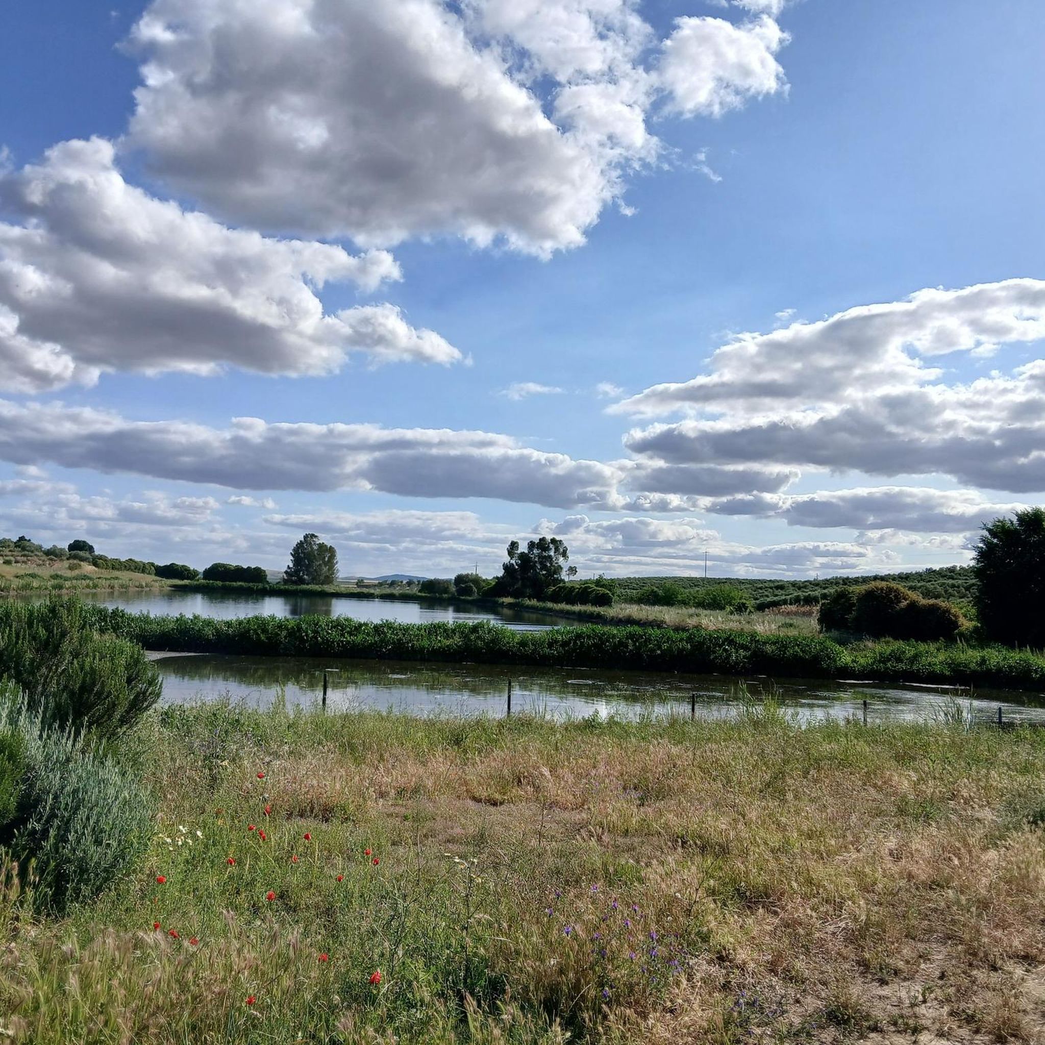
Road cycling routes around Nossa Senhora Da Graça Dos Degolados, a civil parish in Campo Maior, Portugal, offer varied terrain suitable for cyclists. The region is characterized by its natural beauty, featuring quiet roads and a landscape within the Alentejo region. Routes often include moderate elevation profiles and can traverse areas near the border between Spain and Portugal, providing diverse cycling experiences. The Barragem do Abrilongo is a notable natural feature in the vicinity.
Best road cycling routes around Nossa…
Last updated: July 11, 2026
12
riders
72.1km
03:49
1,290m
1,290m
Hard road ride. Very good fitness required. Some segments of this route may be unpaved and difficult to ride.
4
riders
Easy road ride. Great for any fitness level. Mostly well-paved surfaces and easy to ride.

Sign up for free
3
riders
48.0km
02:24
720m
720m
Moderate road ride. Good fitness required. Some segments of this route may be unpaved and difficult to ride.
5
riders
69.3km
03:12
710m
710m
Moderate road ride. Good fitness required. Mostly well-paved surfaces and easy to ride.
Our route recommendations are based on thousands of hikes, rides, and runs completed by other people on komoot.
Start today with a free account
Your next adventure awaits.
Login or Signup
Popular around Nossa Senhora Da Graça Dos Degolados
Tips from the Community

Hiking to Serra de São Mamede (1027 m), the highest point in continental Portugal south of the Tagus, offers a unique experience that combines the hardness of quartzite with the freshness of lush vegetation in the Serra de São Mamede Natural Park. The ascent rewards hikers with panoramic views that extend to the Estrela and deep into Spanish territory. For a safe and rewarding hike on this peak in Portalegre, consider the following advice: Route Planning: There are several trails leading to the summit, with the Serra de São Mamede Walking Route (PR1 PTG) being one of the most popular. The path is often rocky and steep, requiring footwear with good traction and ankle support. Water and Energy Management: The physical exertion and sun exposure, especially in the higher, unprotected areas, require you to carry sufficient water (at least 1.5L) and energy snacks. There are no reliable supply points during the ascent. Pay Attention to the Weather: The weather in the mountains can change rapidly. Even if it is sunny in the city, the summit may be shrouded in fog or strong winds. Always check the local forecast before setting off and bring a windbreaker or warm clothing. Sun Protection: Due to the altitude and sparser vegetation on the summit, UV radiation is more intense. Use sunscreen and a hat, even on cloudy days.
0
0

Luna Castle, also known as Alburquerque Castle, is an impressive medieval fortress located in the town of Alburquerque, in the province of Badajoz, on top of a hill in the Sierra de San Pedro, dominating the town of Alburquerque and offering panoramic views of the Los Baldíos region. Built between the 13th and 15th centuries, the castle was expanded and reinforced by Álvaro de Luna, Master of the Order of Santiago and Constable of Castile, hence its name. Luna Castle is one of the most outstanding castles in Extremadura and a must-see for lovers of history and medieval architecture.
4
0
Luna Castle is an imposing testimony of medieval history and architecture, and its Torre del Homenaje is a symbol of its greatness.
3
0

Nice terrace for coffee and something tasty or a simple lunch. The only terrace in the town
1
0
One of the few places with water at the top of São Mamede. In years with little rainfall, it can dry out in the summer.
2
0

The Castle of Campo Maior is a medieval military fortress located in the civil parish of São João Bapista, municipality of Campo Maior, part of a first line of defense in the Portuguese Alentejo, facing Spain, associated with the military fortresses of Ouguela, Elvas, Olivença and Juromenha.
6
0
Final access point to the top of São Mamede. Easy parking spot for those who want to walk or run in the heart of the mountains. Support place for competitors of the 2 major Trail Running events in the region, UTSM and Reis.
1
0

According to many, it is one of the most beautiful in Extremadura. The castle dominates a wide area that made it a strategic defense point. The ruins that can be visited today date from the 15th century when the old castle passed into the hands of Don Álvaro de Luna, Master of the Order of Santiago.
1
1
Frequently Asked Questions
What is the terrain like for road cycling in Nossa Senhora Da Graça Dos Degolados?
The region offers varied terrain for road cycling, characterized by quiet roads and the natural beauty of the Alentejo landscape. You'll find routes with moderate elevation profiles, providing a good workout while allowing you to immerse yourself in the surroundings.
Are there road cycling routes suitable for beginners or more advanced cyclists?
Yes, the area caters to different ability levels. For an easier ride, consider the Fortification of Campo Maior – Castle of Campo Maior loop from Campo Maior, which is 19.3 miles (31.1 km) long. More experienced cyclists looking for a challenge might prefer the Cabroeira Climb – São Mamede Trail loop from Marco, a 45.4 miles (73.1 km) route with significant elevation gain.
Are there any circular road cycling routes available?
Yes, several routes in the area are circular. For example, the Fortification of Campo Maior – Castle of Campo Maior loop from Campo Maior is an easy circular path exploring historical sites. Another option is the Cabroeira Climb – Castillo de La Beltraneja loop from Marco, which offers varied terrain and notable climbs.
What historical landmarks can I see along the road cycling routes?
You can explore several historical sites. The Fortification of Campo Maior – Castle of Campo Maior loop from Campo Maior takes you past the Castle of Campo Maior. Other nearby attractions include the unique Capela dos Ossos de Campo Maior and the Ouguela Castle, which can be incorporated into longer tours.
Are there any natural features or scenic viewpoints to enjoy?
Absolutely. The region is known for its natural beauty. Many routes offer views of the Alentejo landscape. A significant natural feature is the Barragem do Abrilongo (Abrilongo Dam), which some circular routes traverse, offering unique cross-border perspectives between Spain and Portugal.
Is there parking available near the road cycling routes?
While specific parking locations for each route are not detailed here, routes often start from towns like Marco or Campo Maior, where public parking facilities are typically available. It's advisable to check local parking options in these starting points.
What is the best time of year for road cycling in this region?
Given its location in the Alentejo region of Portugal, spring (March to May) and autumn (September to November) generally offer the most pleasant weather for road cycling, with milder temperatures and less intense heat than the summer months.
Are there places to eat or drink along the routes?
Yes, the region has local establishments. For example, the O Faisão Restaurant is a nearby option that cyclists might find convenient for a stop. Routes often pass through or near villages where cafes and restaurants can be found.
Are there any road cycling routes that cross the border into Spain?
Yes, some routes in the Nossa Senhora Da Graça Dos Degolados area offer unique cross-border perspectives, cycling near the border between Spain and Portugal. This provides an interesting dimension to your ride, blending Portuguese and Spanish landscapes.
How many road cycling routes are available in Nossa Senhora Da Graça Dos Degolados?
There are several road cycling routes available in and around Nossa Senhora Da Graça Dos Degolados, offering diverse experiences for cyclists.
What kind of views can I expect while road cycling in the area?
You can expect scenic views of the Alentejo landscape, characterized by its natural beauty and quiet roads. Some routes also offer unique perspectives as they traverse near the border between Spain and Portugal.
Most popular routes around Nossa Senhora Da Graça Dos Degolados
Most popular attractions around Nossa Senhora Da Graça Dos Degolados

Get inspired with the komoot mobile app


Explore more
Browse the best Road cycling routes in other regions.
