The best road cycling routes around Atalaia
4.0
(4)
68
riders
6
rides
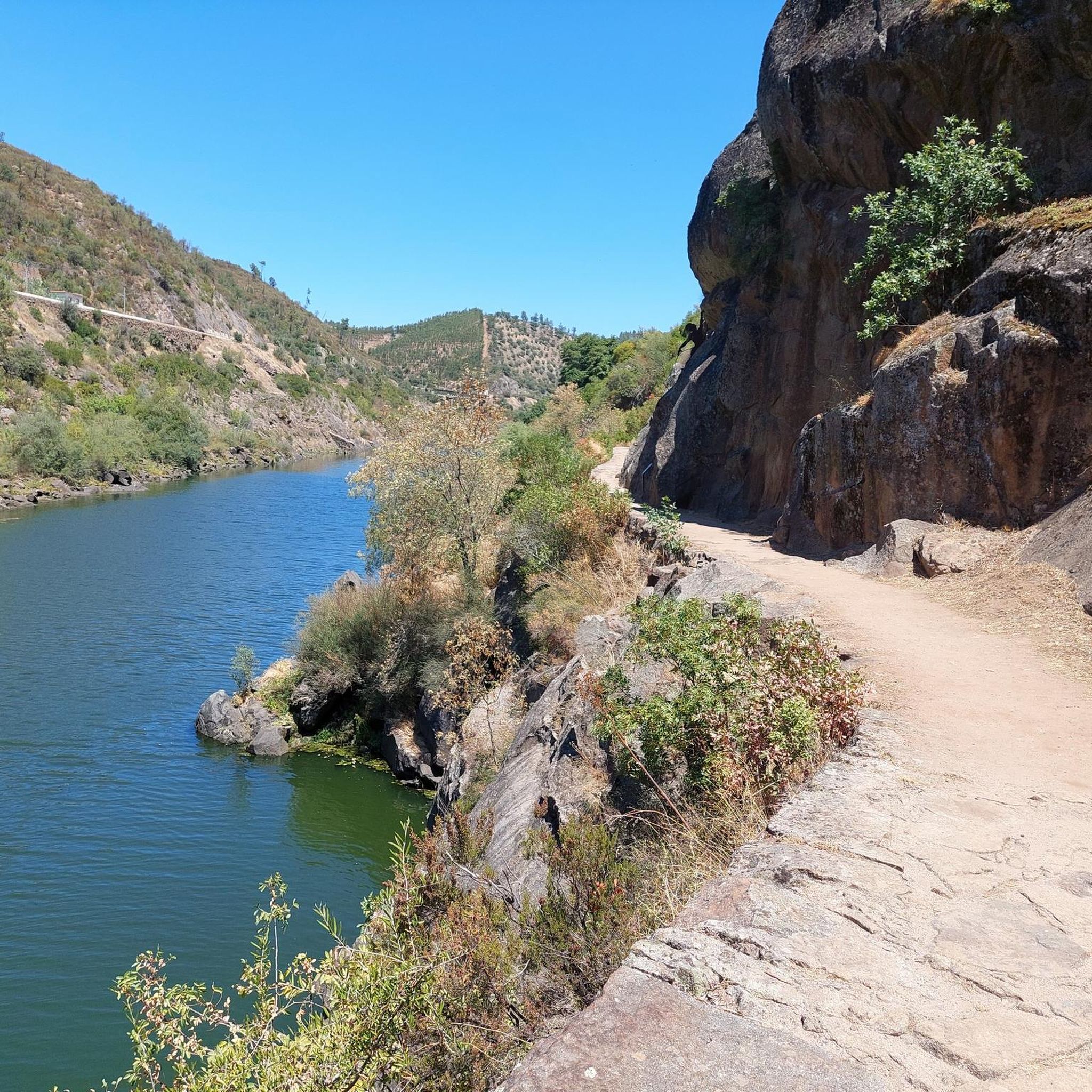
Road cycling around Atalaia offers routes through varied terrain, characterized by river valleys and rolling hills. The region features several dams and reservoirs, providing scenic backdrops for rides. Elevations range from moderate climbs to more challenging ascents, particularly in areas like the Serra do Moledo. This landscape provides diverse options for road cyclists seeking different levels of physical engagement.
Best road cycling routes around Atalaia
- The most popular road cycling route is Aquapolis Sul loop from Barragem de Belver,…
Last updated: July 8, 2026
4.0
(4)
38
riders
50.4km
02:13
460m
460m
Moderate road ride. Good fitness required. Mostly well-paved surfaces and easy to ride.
6
riders
35.0km
01:44
540m
540m
Moderate road ride. Good fitness required. Mostly well-paved surfaces and easy to ride.

Sign up for free
4
riders
Hard road ride. Very good fitness required. Mostly well-paved surfaces and easy to ride.
4
riders
87.4km
04:51
1,720m
1,720m
Hard road ride. Very good fitness required. Mostly well-paved surfaces and easy to ride.
3
riders
45.4km
02:30
900m
900m
Moderate road ride. Good fitness required. Mostly well-paved surfaces and easy to ride.
Our route recommendations are based on thousands of hikes, rides, and runs completed by other people on komoot.
Start today with a free account
Your next adventure awaits.
Login or Signup
Popular around Atalaia
Tips from the Community

Stop on the bridge to absorb the grandeur of this unique geological feature. And look for the vultures in the sky!
0
0

The historic Castle of Belver (Castelo de Belver) is one of Portugal's most beautiful castles. It was built by the Order of the Hospitallers in the late 12th century early 13th century on the border between what was then Christian and Islamic Portugal - the River Tagus. The castle is on a hill on the northern bank of the river. The name comes from belo ver or "beautiful to see."
1
0


The Portas de Ródão are a geological formation located near Vila Velha de Ródão, resulting from the intersection of the hard quartzite relief of the Serra das Talhadas with the course of the River Tagus. At this location, there is a narrowing of the valley, which runs between two steep walls, which reach about 170 m in height, resembling two "gates", one to the north in the District of Castelo Branco, Beira Baixa, and another to the south in the Municipality of Nisa, District of Portalegre, Alto Alentejo.[1][2][3] The embedding of the Tagus began by upward erosion, about 2.6 million years ago, taking advantage of tectonic accidents associated with the Pônsul fault, and occurred in several stages, reflected in river terraces and platforms embedded by erosion, most visible on the right bank upstream of the Portas. The large lake and the great depths immediately downstream from Portas bear witness to the grandeur of the waterfall that must have existed here before the current equilibrium phase was reached.
0
0

Belver is a Portuguese village and parish in the municipality of Gavião, with an area of 69.84 km² and 560 inhabitants (2021 census). It belonged to the Order of the Hospital, by donation from D. Sancho I, and was the seat of an independent municipality between 1518 and 1836. It was made up of the parishes of Belver and Comenda and had, in 1801, 1403 inhabitants. When the municipality was dissolved, the parish then moved to the municipality of Mação, where it remained integrated until 1898, when it passed to the then restored municipality of Gavião.
2
0

The Aquapolis Sul. It's a cafe in front of the Tagus river. We see the city of Abrantes. The view is beautiful. The place is very nice.
10
0


Industrial Sightseeing. Nice quiet road down to dam, probably only used by service vehicles for access as most of the houses and villages nearby were virtually abandoned.
1
0
Frequently Asked Questions
How many road cycling routes are available in Atalaia?
Atalaia offers a selection of 6 road cycling routes, catering to various skill levels. You'll find options ranging from moderate to difficult, with a strong emphasis on challenging ascents.
Are there any beginner-friendly road cycling routes in Atalaia?
While there are no routes specifically classified as 'easy', Atalaia does offer 2 moderate routes that could be suitable for beginners looking for a bit of a challenge. The Aquapolis Sul loop from Barragem de Belver and the Roadbike loop from Barragem de Belver are both moderate options that explore the scenic areas around the Belver Dam.
What are the typical distances and elevations for road cycling routes in Atalaia?
Road cycling routes in Atalaia generally range from approximately 21.6 miles (34.8 km) to 54.7 miles (88.1 km) in length. Elevations can vary significantly, with climbs typically between 460 meters and 1727 meters, especially in areas like the Serra do Moledo.
Where are common starting points for road cycling routes in Atalaia, and is parking available?
Many routes in Atalaia begin near key landmarks or towns. Popular starting points include Barragem de Belver, Estação Ferroviária de Barca da Amieira - Envendos, and Gavião. While specific parking information isn't detailed for each start point, these locations are generally accessible by car, and local parking options are usually available in or near these towns and attractions.
What kind of landscapes and natural features can I expect to see while road cycling in Atalaia?
Atalaia's road cycling routes are characterized by diverse natural beauty. You'll ride through picturesque river valleys, past impressive dams and reservoirs, and encounter the rolling hills and challenging ascents of the Serra do Moledo mountain range. The region offers a blend of water features and elevated terrain.
What do other road cyclists enjoy most about cycling in Atalaia?
The road cycling experience in Atalaia is highly rated by the komoot community, with an average score of 4.0 stars. Cyclists often praise the varied terrain, which includes scenic river valleys and the challenging climbs of the Serra do Moledo, providing options for both moderate and experienced riders.
Are there challenging road cycling routes for experienced cyclists in Atalaia?
Yes, Atalaia is well-suited for experienced cyclists seeking a challenge. Four of the six routes are classified as difficult, featuring significant elevation gains. The Serra do Moledo – Pracana Dam loop from Barca da Amieira - Envendos, for instance, covers 54.7 miles (88.1 km) with over 1700 meters of climbing, offering a substantial test.
What are some scenic road cycling routes in Atalaia with great views?
Many routes offer scenic views, particularly those around the dams and in the Serra do Moledo. The Aquapolis Sul loop from Barragem de Belver provides views of the Belver Dam, while the Serra do Moledo loop from Estação Ferroviária de Barca da Amieira - Envendos takes you through the mountain range with expansive vistas.
What interesting landmarks or attractions can I see along the road cycling routes in Atalaia?
While cycling in Atalaia, you can encounter several interesting points. Consider exploring the Belver Bridge, or the unique Benbolina Sculpture and Stone Archway. The region also features the Suspended pedestrian bridge and the Barca da Amieira Ferry Crossing, which add to the local character.
Are there any road cycling routes that pass by historical sites or cultural points of interest?
Yes, the Belver Castle – Belver Bridge loop from Gavião is a moderate route that takes you past the historic Belver Castle and the notable Belver Bridge, offering a blend of cycling and cultural exploration.
What is the best time of year for road biking in Atalaia?
Given the region's characteristics of river valleys and rolling hills, spring and autumn generally offer the most pleasant conditions for road cycling in Atalaia. Temperatures are milder, and the landscapes are vibrant. Summer can be warm, especially in open areas, while winter might bring cooler, potentially wetter weather.
Most popular routes around Atalaia
Most popular attractions around Atalaia

Get inspired with the komoot mobile app


Explore more
Browse the best Road cycling routes in other regions.
