Ribeira de Nisa e Ribeira de Nisa e Ribeira de Nisa e Carreiras
Ribeira de Nisa e Ribeira de Nisa e Ribeira de Nisa e Carreiras
The best running trails around Ribeira de Nisa e Ribeira de Nisa e Ribeira de Nisa e Carreiras
4.8
(8)
507
runners
59
runs
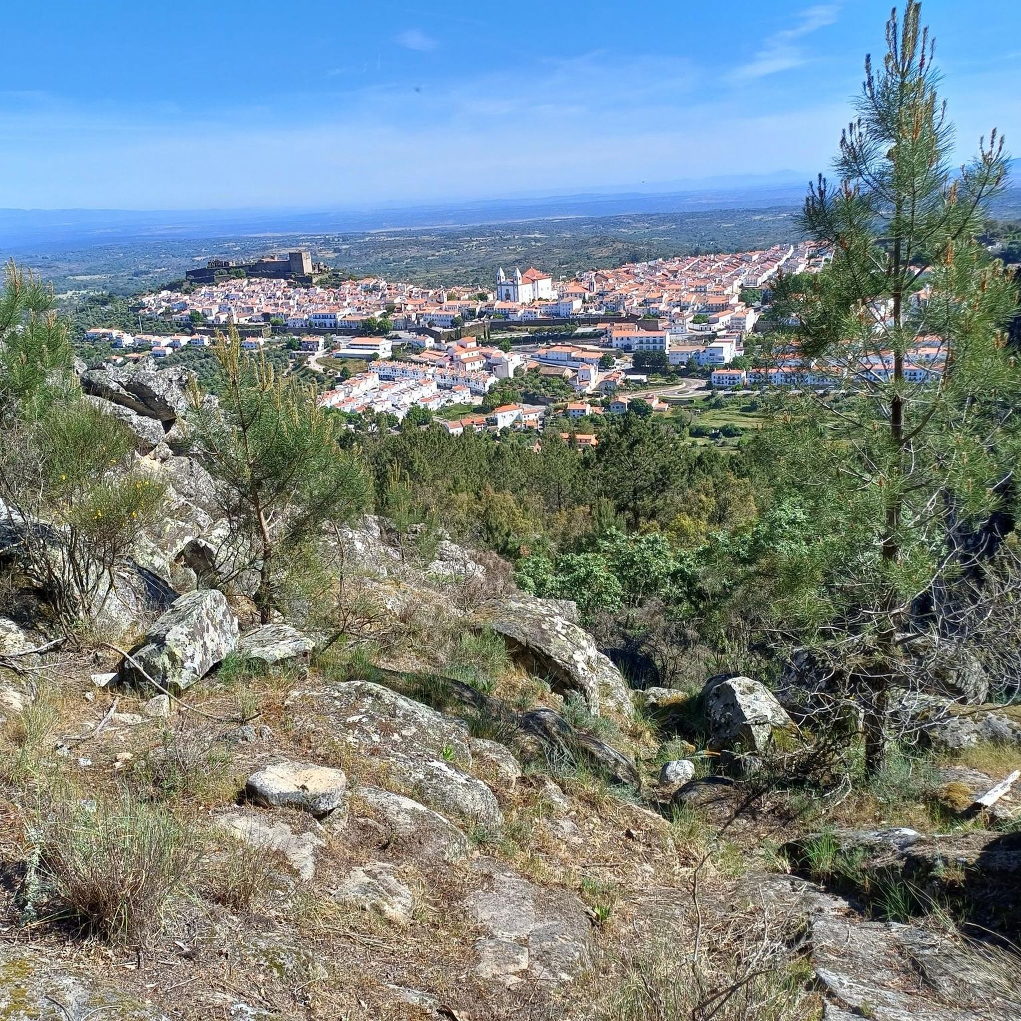
Jogging routes around Ribeira de Nisa e Carreiras are set within the Serra de São Mamede Natural Park, offering diverse terrain for runners. The region features varied landscapes, including the Ribeira de Nisa valley and the Jogo da Bola plateau. Runners can experience centenarian cork oak groves, pine, chestnut, and olive trees, alongside granite terrains. The area provides a network of routes suitable for different running preferences.
Best jogging routes around Ribeira de Nisa e Ribeira de Nisa e Ribeira…
Last updated: October 14, 2026
95
runners
25.9km
03:24
840m
840m
Hard run. Very good fitness required. Mostly paved surfaces. Suitable for all skill levels.
5.0
(1)
134
runners
39.6km
05:18
1,370m
1,370m
Hard run. Very good fitness required. Mostly paved surfaces. Suitable for all skill levels.

15
runners
32.0km
04:02
860m
860m
Hard run. Very good fitness required. Mostly paved surfaces. Suitable for all skill levels.
6
runners
8.88km
00:56
80m
80m
Moderate run. Good fitness required. Mostly paved surfaces. Suitable for all skill levels.
7
runners
11.1km
01:11
130m
120m
Moderate run. Good fitness required. Mostly paved surfaces. Suitable for all skill levels.
Get access to more routes and recommendations from other explorers.
Already have an account?
Our route recommendations are based on thousands of hikes, rides, and runs completed by other people on komoot.
Start today with a free account
Your next adventure awaits.
Popular around Ribeira de Nisa e Ribeira de Nisa e Ribeira de Nisa e Carreiras
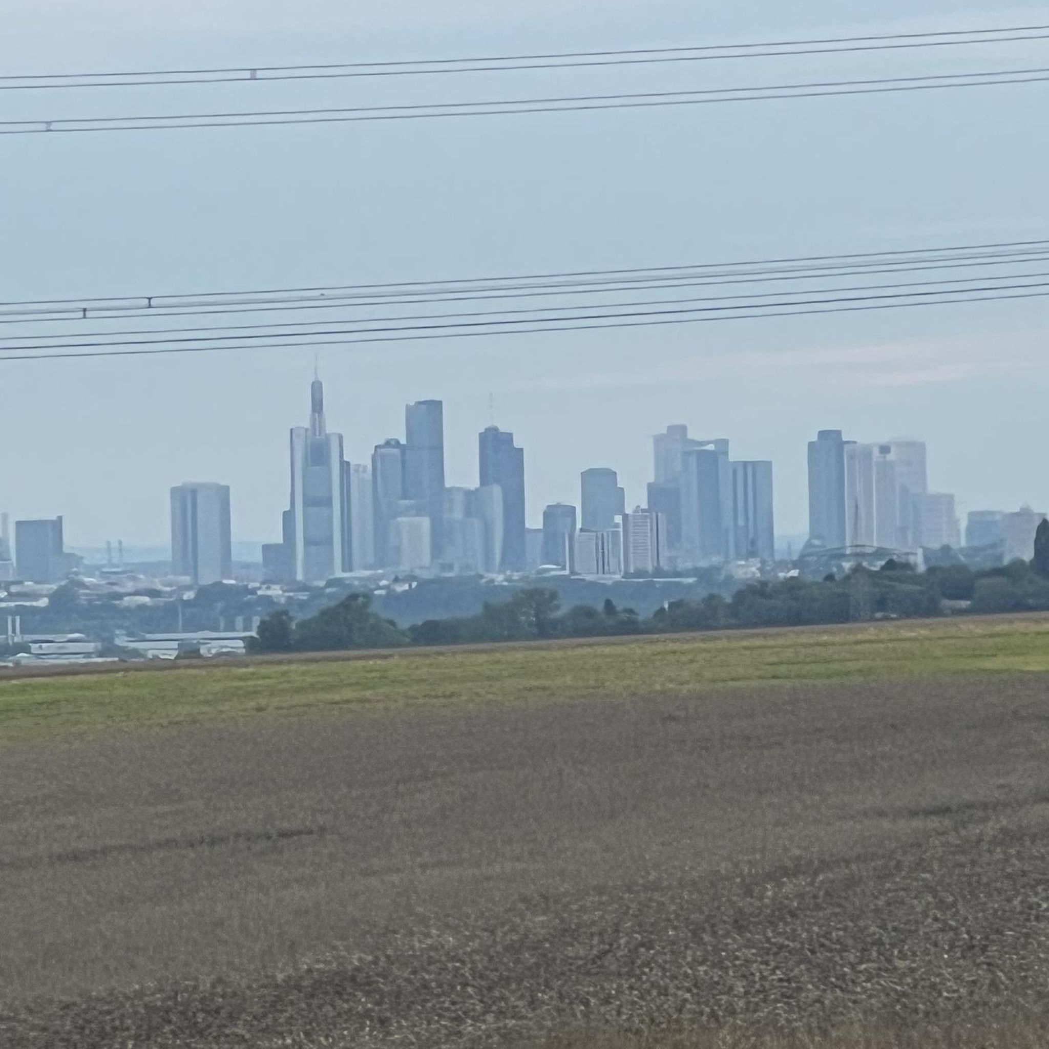
Gravel biking around Ribeira de Nisa e Ribeira de Nisa e Ribeira de Nisa e Carreiras
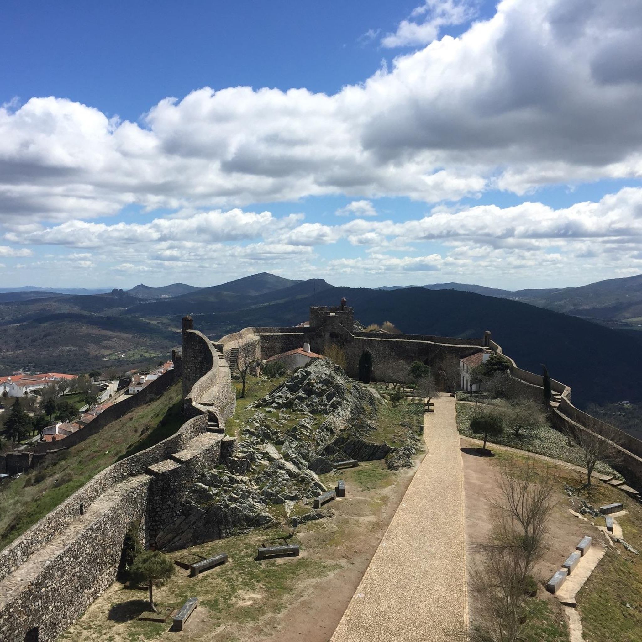
MTB Trails around Ribeira de Nisa e Ribeira de Nisa e Ribeira de Nisa e Carreiras
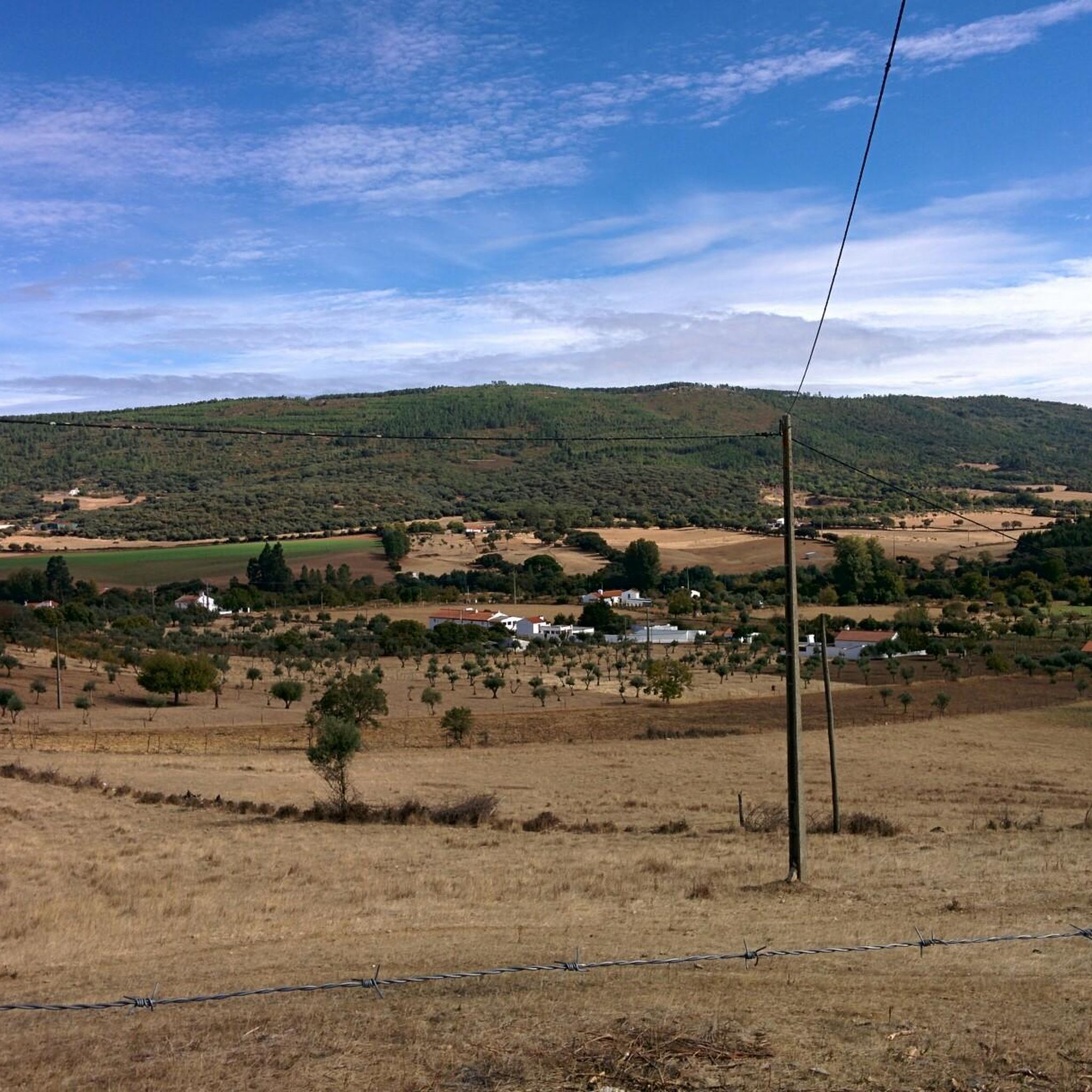
Hiking around Ribeira de Nisa e Ribeira de Nisa e Ribeira de Nisa e Carreiras
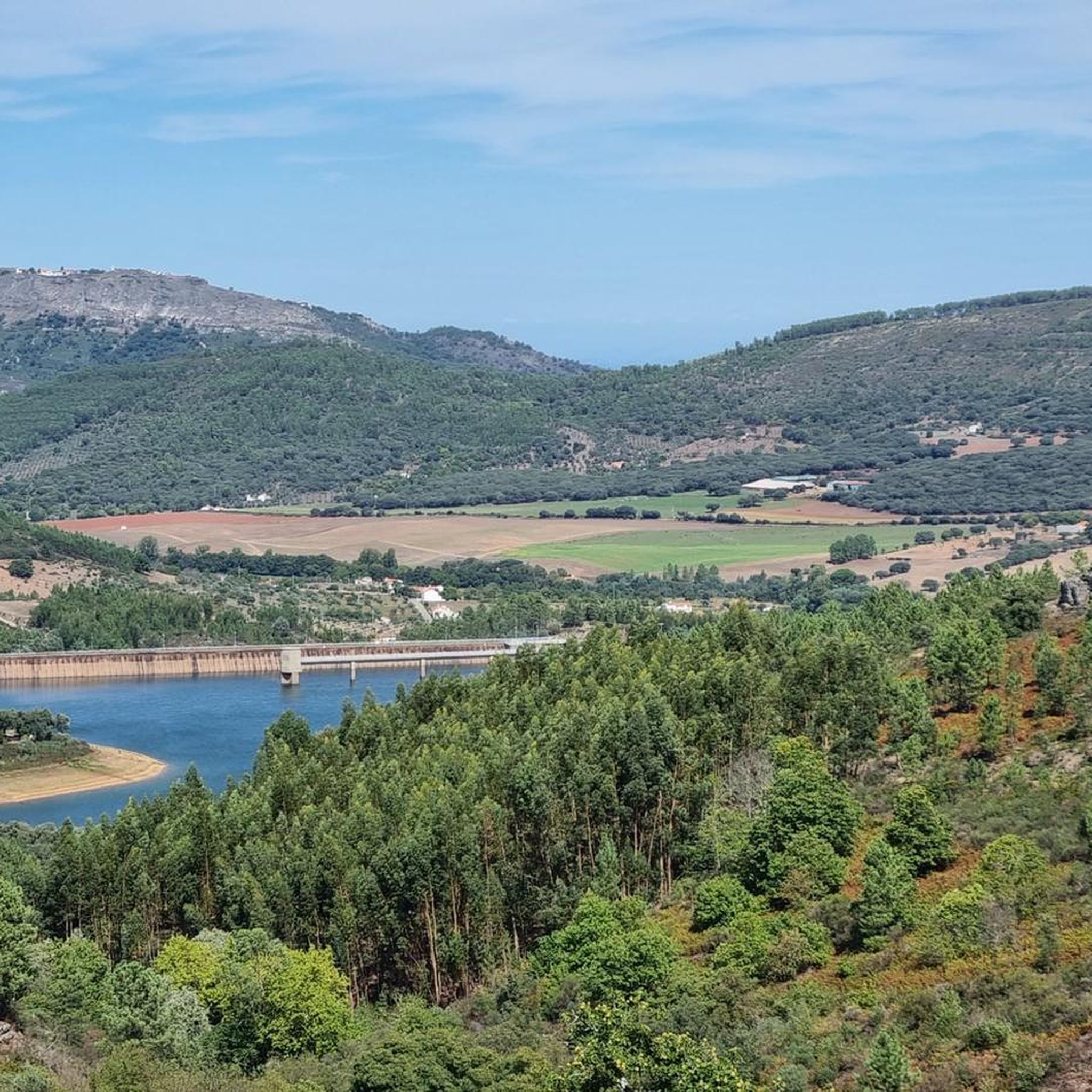
Road Cycling Routes around Ribeira de Nisa e Ribeira de Nisa e Ribeira de Nisa e Carreiras
Cycling around Ribeira de Nisa e Ribeira de Nisa e Ribeira de Nisa e Carreiras
Tips from the Community

Hiking to Serra de São Mamede (1027 m), the highest point in continental Portugal south of the Tagus, offers a unique experience that combines the hardness of quartzite with the freshness of lush vegetation in the Serra de São Mamede Natural Park. The ascent rewards hikers with panoramic views that extend to the Estrela and deep into Spanish territory. For a safe and rewarding hike on this peak in Portalegre, consider the following advice: Route Planning: There are several trails leading to the summit, with the Serra de São Mamede Walking Route (PR1 PTG) being one of the most popular. The path is often rocky and steep, requiring footwear with good traction and ankle support. Water and Energy Management: The physical exertion and sun exposure, especially in the higher, unprotected areas, require you to carry sufficient water (at least 1.5L) and energy snacks. There are no reliable supply points during the ascent. Pay Attention to the Weather: The weather in the mountains can change rapidly. Even if it is sunny in the city, the summit may be shrouded in fog or strong winds. Always check the local forecast before setting off and bring a windbreaker or warm clothing. Sun Protection: Due to the altitude and sparser vegetation on the summit, UV radiation is more intense. Use sunscreen and a hat, even on cloudy days.
1
0
The castle was founded by King D. Dinis in 1290, with the aim of defending the Alentejo border. Originally, it had an imposing structure with a double ring of walls, twelve towers and eight gates. Over the centuries, it lost part of its structure to the growth of the city, but it remains a National Monument. The Keep is the best-preserved part of the original complex. Inside, there is a museum that you can visit.
3
0
One of the few places with water at the top of São Mamede. In years with little rainfall, it can dry out in the summer.
2
0
Magnificent mirror in the middle of the São Mamede mountain range.
0
0
Final access point to the top of São Mamede. Easy parking spot for those who want to walk or run in the heart of the mountains. Support place for competitors of the 2 major Trail Running events in the region, UTSM and Reis.
1
0
Highest elevation point in Portugal south of the Tagus River (1027 m).
1
0
Main Reservoir of the Serra de São Mamede.
0
0

Very steep finish to the antennas is rewarded with spectacular views
1
0
Frequently Asked Questions
How many running routes are available in Ribeira de Nisa e Carreiras?
There are over 50 running routes around Ribeira de Nisa e Carreiras, offering a wide variety of options for different preferences and fitness levels within the Serra de São Mamede Natural Park.
What kind of terrain can I expect on the jogging trails in this region?
The terrain is quite diverse, ranging from the scenic Ribeira de Nisa valley to the Jogo da Bola plateau. You'll encounter centenarian cork oak groves, pine, chestnut, and olive trees, as well as granite terrains. Some paths may also feature historical elements like medieval pavements.
Are there easy running routes suitable for beginners or a more relaxed pace?
Yes, there are options for easier runs. For instance, the Apartadura Reservoir - Ti Esperança Spring loop is an easy 6.23 km (3.9-mile) hike that can be completed in about 1 hour and 43 minutes, making it suitable for a relaxed jog. Another moderate option is the Running loop from Ribeira de Nisa, which is 8.9 km.
What are some challenging long-distance running routes available?
For those seeking a challenge, the region offers several difficult long-distance routes. The São Mamede Trail – Portalegre Castle loop from Portalegre is a demanding 41.6 km (25.8 miles) path, while the Souto Relva – Miradouro loop from Portalegre covers 25.4 km (15.8 miles) with significant elevation changes.
Are there circular running routes in Ribeira de Nisa e Carreiras?
Many of the running paths in the area are circular. For example, the PR4 - Percurso de Ribeira de Nisa is an 8.1 km circular route starting and ending in Monte de Carvalho, offering beautiful landscapes. Several routes listed on komoot, such as the São Mamede Spring – São Mamede Trail loop from Portalegre, are also loops.
What natural features or viewpoints can I discover while running?
Runners can enjoy stunning landscapes, including centenarian cork oak groves and views between the Ribeira de Nisa valley and the Jogo da Bola plateau. The Miradouro e Parque de Merendas da Fonte dos Carvoeiros offers magnificent views over the plains. The Reguengo Trail (PR2) also provides panoramic views.
Are there any historical sites or landmarks along the running paths?
Yes, some trails pass by historical elements such as vestiges of old oak groves, granite shelters, and medieval pavements. The medieval pavement in Carreiras, which once connected Portalegre to Castelo de Vide, is partly walkable. Nearby, you can also explore historical sites like the Porta do Rodão of Marvão or the 16th century bridge of Portagem.
What do other runners enjoy most about jogging in Ribeira de Nisa e Carreiras?
The running routes in Ribeira de Nisa e Carreiras are highly rated by the komoot community, with an average score of 4.9 stars from 7 reviews. Runners often praise the varied terrain, the natural beauty of the Serra de São Mamede Natural Park, and the network of trails suitable for different ability levels.
Are the running trails in Ribeira de Nisa e Carreiras suitable for families?
Many trails, especially those with medium to low difficulty, can be suitable for families. The PR4 - Percurso de Ribeira de Nisa, for instance, is considered medium/low difficulty. The easy Apartadura Reservoir - Ti Esperança Spring loop is also a good option for a family outing.
Can I bring my dog on the running trails?
As the region is part of the Serra de São Mamede Natural Park, dogs are generally permitted on trails, but it is always recommended to keep them on a leash to protect wildlife and ensure a pleasant experience for all users. Always check local regulations for specific routes.
Is there a good time of year to visit for jogging?
The region's natural beauty, with diverse vegetation including cork oaks, pines, and chestnuts, makes it appealing throughout many seasons. Spring and autumn generally offer the most pleasant temperatures for outdoor activities like jogging, with vibrant colors and comfortable conditions. Summer can be hot, so early morning or late evening runs are advisable.
Most popular routes around Ribeira de Nisa e Ribeira de Nisa e Ribeira de Nisa e Carreiras
Most popular attractions around Ribeira de Nisa e Ribeira de Nisa e Ribeira de Nisa e Carreiras

Get inspired with the komoot mobile app


Explore more
Browse the best Running Trails & Routes in other regions.
