The best walks and hikes around Penhalonga e Paços de Gaiolo
4.8
(55)
197
hikers
4
hikes
Hiking around Penhalonga e Paços de Gaiolo, located in the municipality of Marco de Canaveses, Portugal, offers diverse natural landscapes for outdoor activities. The region is characterized by valleys, forests, and the pure waters of the River Bestança, which flows from Portas de Montemuro into the Douro. Hikers can explore varied terrain, including paths along the river and areas featuring old mills, providing a blend of natural beauty and rural heritage.
Best hiking trails around Penhalonga e Paços de Gaiolo
…Last updated: July 1, 2026
4.6
(26)
97
hikers
Easy hike. Great for any fitness level. Easily-accessible paths. Suitable for all skill levels.
4.6
(25)
60
hikers
Moderate hike. Good fitness required. Easily-accessible paths. Suitable for all skill levels.

Sign up for free
5.0
(4)
20
hikers
14.3km
04:20
480m
480m
Moderate hike. Good fitness required. Easily-accessible paths. Suitable for all skill levels.
17
hikers
12.5km
03:34
300m
300m
Moderate hike. Good fitness required. Easily-accessible paths. Suitable for all skill levels.
3
hikers
4.86km
01:23
120m
120m
Easy hike. Great for any fitness level. Easily-accessible paths. Suitable for all skill levels.
Our route recommendations are based on thousands of hikes, rides, and runs completed by other people on komoot.
Start today with a free account
Your next adventure awaits.
Login or Signup
Tips from the Community

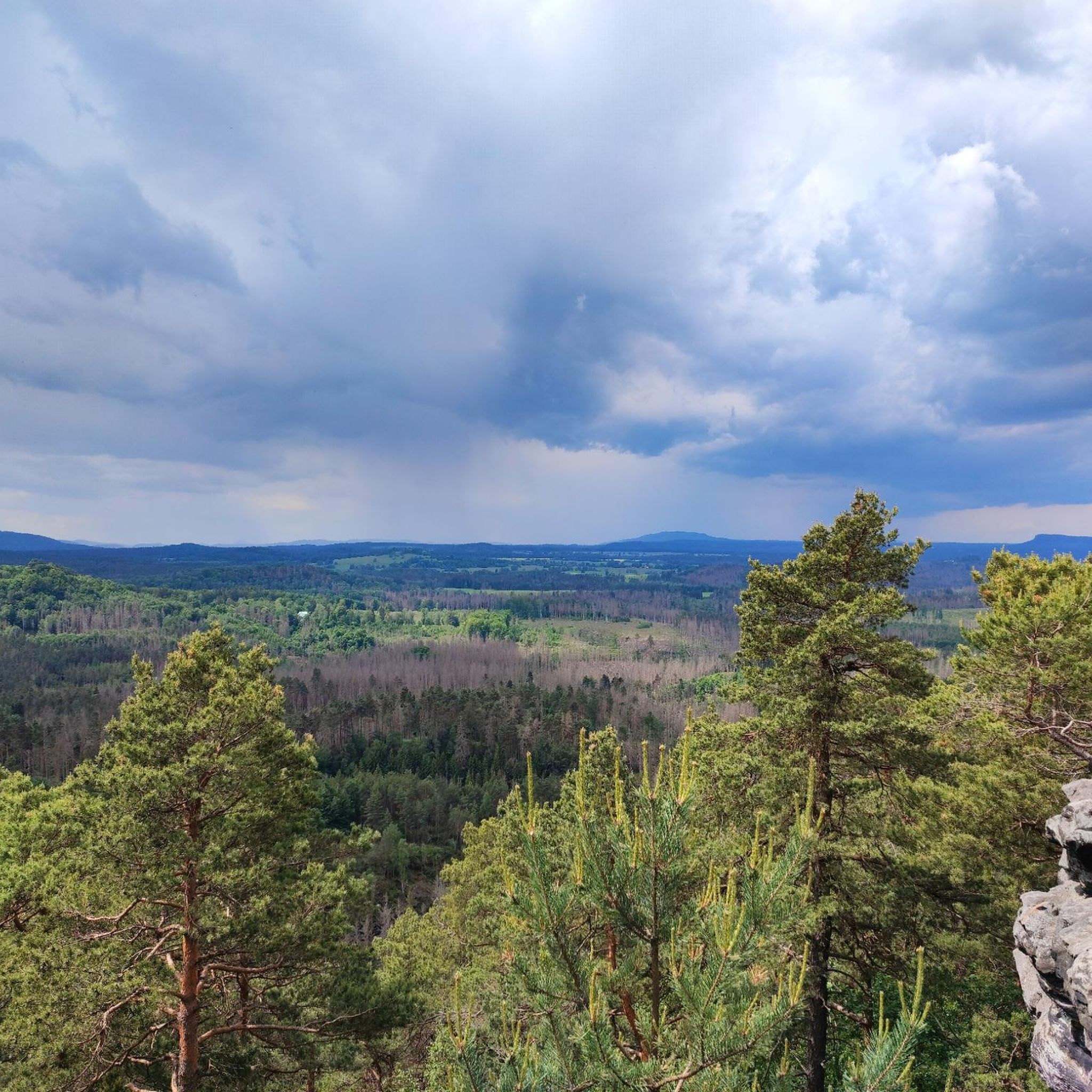
From here you can enjoy a beautiful panorama. The Miradouro da Nossa Senhora da Guia offers a splendid view of the surrounding mountains, especially suggestive at sunrise or sunset.
0
0

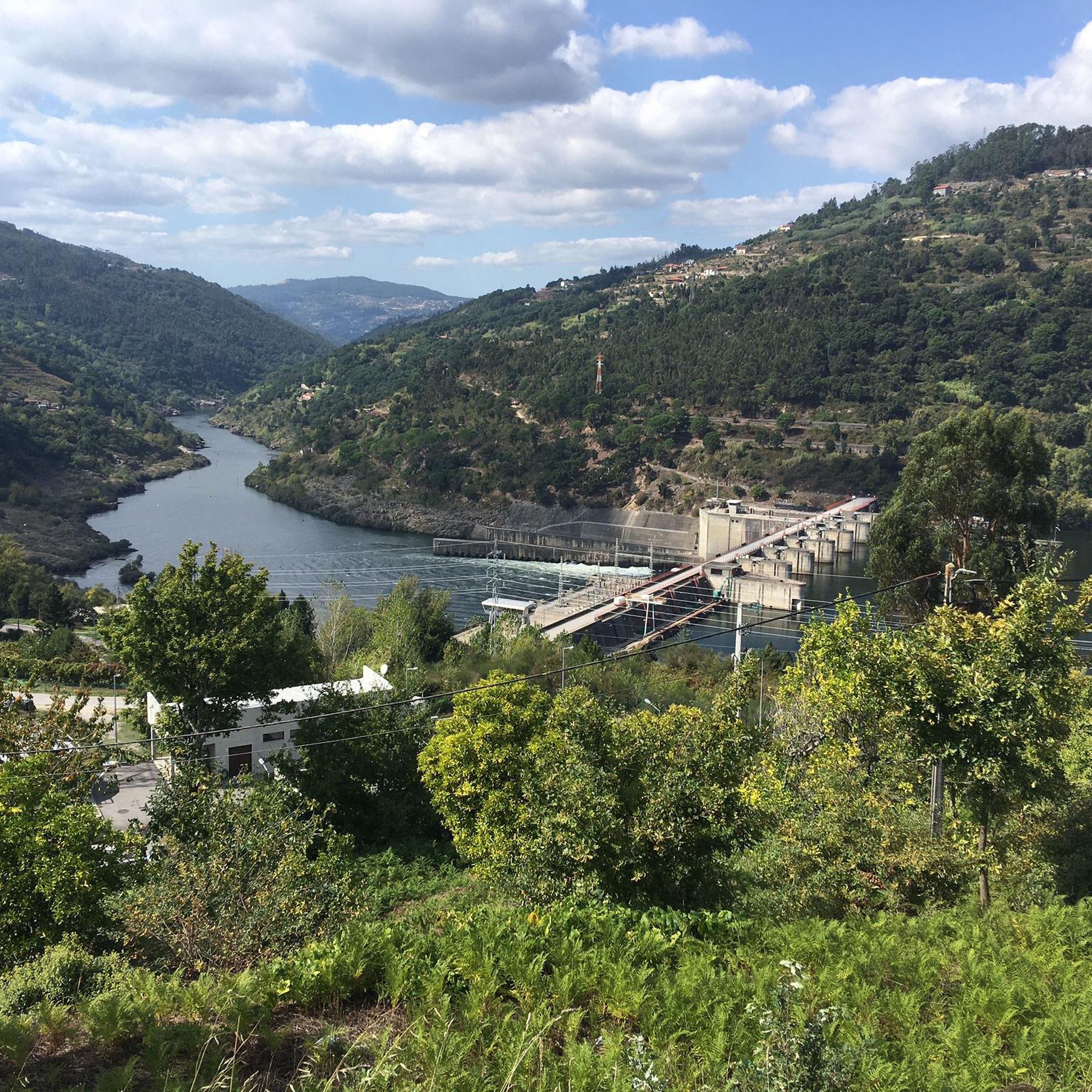
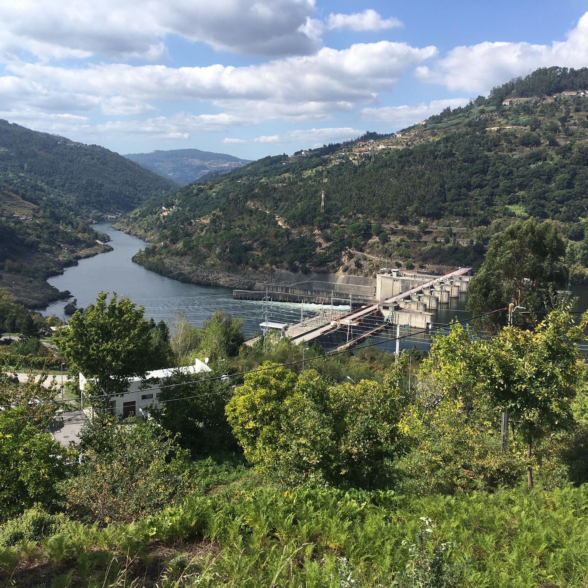
This is one of the many bridges that span the Bestança River, each inviting you to pause and take in the verdant serenity and the hypnotic murmur of the crystal-clear waters. Some, like the Soutela Bridge, date back to the Middle Ages, while others, more recent, blend harmoniously into the landscape. Whether ancient or modern, they all share one thing in common: breathtaking views.
1
0
This path descends through the valley of the River Bestança along one of the old roads that lead to the Prado area. The Bestança rises at Portas de Montemuro and flows into the Douro: 13.5 kilometres of crystal-clear water, it is one of the purest rivers in Europe. Its ecological balance sustains otters, trout and genets, while since ancient times, mills scattered throughout the valley have used its waters to grind cereals, especially corn, preserving a valuable rural heritage.
1
0

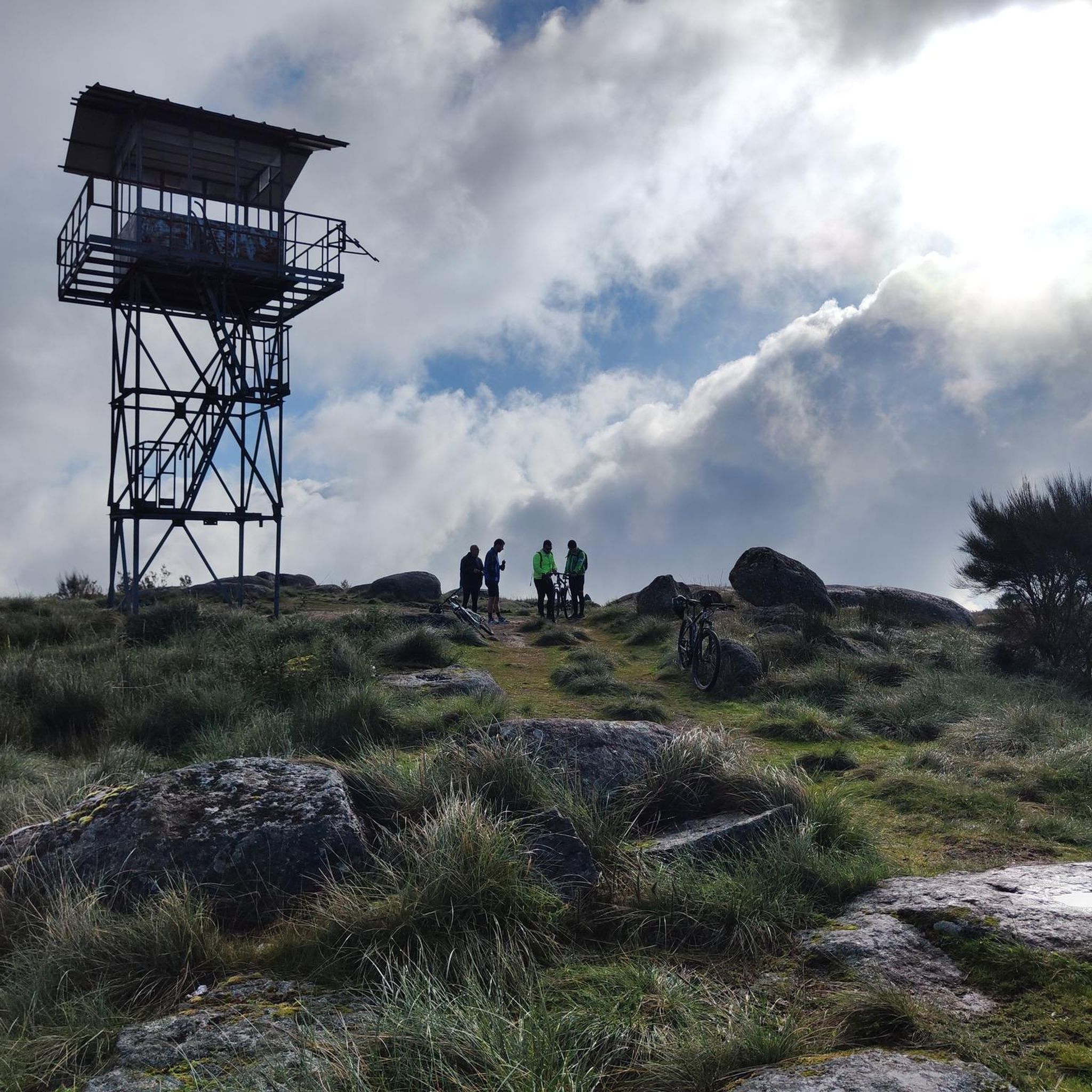
Great view over the Aboboreira mountains and the whole valley of the Serra do Castelo. The small chapel is used for pilgrimages in August
7
1
Incredibly original Tasquinha ... and sometimes the best when it comes to Alheira, this taste is simply heavenly. Reserving in English is not possible ... just drop by, if there are two of you you might find a place ...
9
1
Frequently Asked Questions
How many hiking trails are available in Penhalonga e Paços de Gaiolo?
There are several hiking trails around Penhalonga e Paços de Gaiolo, offering diverse experiences. You'll find a total of 4 routes, with options for both easy and moderate difficulty levels.
Are there any easy hiking trails suitable for beginners or families?
Yes, Penhalonga e Paços de Gaiolo offers easy trails perfect for beginners or families. An excellent option is the Bridge Over the Bestança River – Stream in Serra de Montemuro loop from Ferreiros de Tendais, which is 6.2 km long and takes about 1 hour 52 minutes to complete. Another easy choice is the Tasquinha do Flimo loop from Pinhão, a 4.86 km route.
What kind of landscapes can I expect to see while hiking in this region?
The region is characterized by diverse natural landscapes, including lush mountains, valleys, dense forests, and the pure waters of the River Bestança. You'll encounter historical elements like old mills and traditional 'xisto' (slate) villages, offering a blend of natural beauty and rural heritage.
Are there any circular walking routes in Penhalonga e Paços de Gaiolo?
Yes, many of the trails in Penhalonga e Paços de Gaiolo are circular. For example, the Tasquinha do Flimo loop from Soalhães is a moderate 14.3 km route that allows you to start and end in the same location, leading through varied natural settings.
What are the main attractions or points of interest along the hiking trails?
Hikers can explore several notable attractions. The Path along the Bestança River is a significant highlight, known for its crystal-clear waters. You can also discover a captivating Natural Pool and Waterfall Trail, and the Wooden Bridge over the Waterfall. Additionally, the area features scattered old mills that historically utilized the river's water.
Are there any opportunities for wild swimming or natural pools?
Yes, the area is known for its refreshing natural water features. You can find a captivating Natural Pool and Waterfall Trail, which offers a refreshing experience. There are also the Cabrum Natural Pools, providing more spots for a dip.
What do other hikers say about the trails in Penhalonga e Paços de Gaiolo?
The trails in Penhalonga e Paços de Gaiolo are highly rated by the komoot community, with an average score of 4.8 stars from over 50 reviews. Hikers often praise the diverse terrain, the beauty of the Bestança River, and the well-preserved natural features.
Is Penhalonga e Paços de Gaiolo a good destination for dog-friendly walks?
While specific dog-friendly regulations can vary, the natural landscapes of Penhalonga e Paços de Gaiolo, with its river paths and forests, generally offer pleasant environments for walks with dogs. It's always recommended to keep dogs on a leash and follow local guidelines to protect wildlife and ensure a good experience for everyone.
What is the best time of year to go hiking in Penhalonga e Paços de Gaiolo?
The region offers diverse flora and fauna throughout the year. Spring and autumn generally provide pleasant temperatures and vibrant scenery, ideal for hiking. Summer can be warm, making river-side trails and natural pools particularly appealing. Winter hikes are also possible, offering a different, often quieter, perspective of the landscapes.
Are there any longer, more challenging hikes available?
For those seeking a more challenging experience, there are moderate routes available. The Bridge Over the Bestança River – Stream in Serra de Montemuro loop from Ferreiros de Tendais, at 9.9 km, and the Tasquinha do Flimo loop from Baião, covering 12.47 km, offer more extensive exploration of the varied terrain.
Is there parking available near the trailheads?
While specific parking information for each trailhead is best checked on individual route pages, hiking areas in Portugal, especially those popular for outdoor activities, typically have designated parking spots or areas where visitors can leave their vehicles. It's advisable to plan your route and check for parking details beforehand.
Can I reach the hiking trails using public transport?
Access to some trailheads in rural areas like Penhalonga e Paços de Gaiolo might be limited by public transport. While larger towns in the Marco de Canaveses municipality are served by buses, reaching specific, more remote trail starting points often requires a car. It's recommended to research local bus schedules and connections to nearby villages if relying on public transport.
Most popular routes around Penhalonga e Paços de Gaiolo
Most popular attractions around Penhalonga e Paços de Gaiolo

Get inspired with the komoot mobile app


Explore more
Browse the best Hikes in other regions.
