The best road cycling routes around Abrantes (São Vicente)
4.0
(7)
513
riders
61
rides
Road cycling routes around Abrantes (São Vicente) traverse a landscape characterized by undulating terrain and varied countryside. The region features significant elevation changes, with routes often including climbs and descents that challenge cyclists. Expansive views and rural settings are common along these paths. The area provides a diverse environment for road cycling, ranging from moderate to difficult routes.
Best road cycling routes around Abrantes (São Vicente)
- The most popular road cycling route is The Wolf – Carvalhal/Abrantes 🇵🇹 – Mural of the Camino de Santiago loop from Alferrarede, a 54.2 miles (87.2 km) trail that takes 4 hours 14 minutes to complete. This challenging route features significant elevation gain and passes by the Mural of the Camino de Santiago.
- Another top favourite among local road cyclists is Sra. do Pranto Viewpoint – Avó Mia loop from Alferrarede, a moderate 74.0 miles (119.2 km) path. This route offers scenic viewpoints and covers a substantial distance through the region.
- Local road cyclists also love the Train Station – Countryside Landscape loop from Alferrarede, a 59.6 miles (95.9 km) trail leading through varied countryside landscapes, often completed in about 4 hours.
- Road cycling around Abrantes (São Vicente) is defined by undulating hills, scenic viewpoints, and diverse countryside. The network offers options for various ability levels, from moderate to difficult.
- The routes in Abrantes (São Vicente) are highly rated by the komoot community with an average score of 4.0 stars from 5 reviews. More than 500 road cyclists have used komoot to explore Abrantes (São Vicente)'s varied terrain.
Last updated: July 8, 2026
21
riders
87.2km
04:14
1,240m
1,240m
Hard road ride. Very good fitness required. Mostly well-paved surfaces and easy to ride.
20
riders
34.5km
01:36
430m
430m
Moderate road ride. Good fitness required. Mostly well-paved surfaces and easy to ride.

Sign up for free
17
riders
119km
05:00
800m
800m
Moderate road ride. Good fitness required. Some segments of this route may be unpaved and difficult to ride.
14
riders
96.1km
04:01
720m
720m
Moderate road ride. Good fitness required. Mostly well-paved surfaces and easy to ride.
16
riders
58.7km
02:39
650m
650m
Moderate road ride. Good fitness required. Mostly well-paved surfaces and easy to ride.
Get access to more routes and recommendations from other explorers.
Sign up for free
Already have an account?
Our route recommendations are based on thousands of hikes, rides, and runs completed by other people on komoot.
Start today with a free account
Your next adventure awaits.
Login or Signup


Tips from the Community

Bus stop built with the same material as the Chamusca bridge
14
0
The Aquapolis Sul. It's a cafe in front of the Tagus river. We see the city of Abrantes. The view is beautiful. The place is very nice.
10
0
Basic bicycle handling and repair center. There is even a fountain, a café and a pharmacy nearby.
17
0

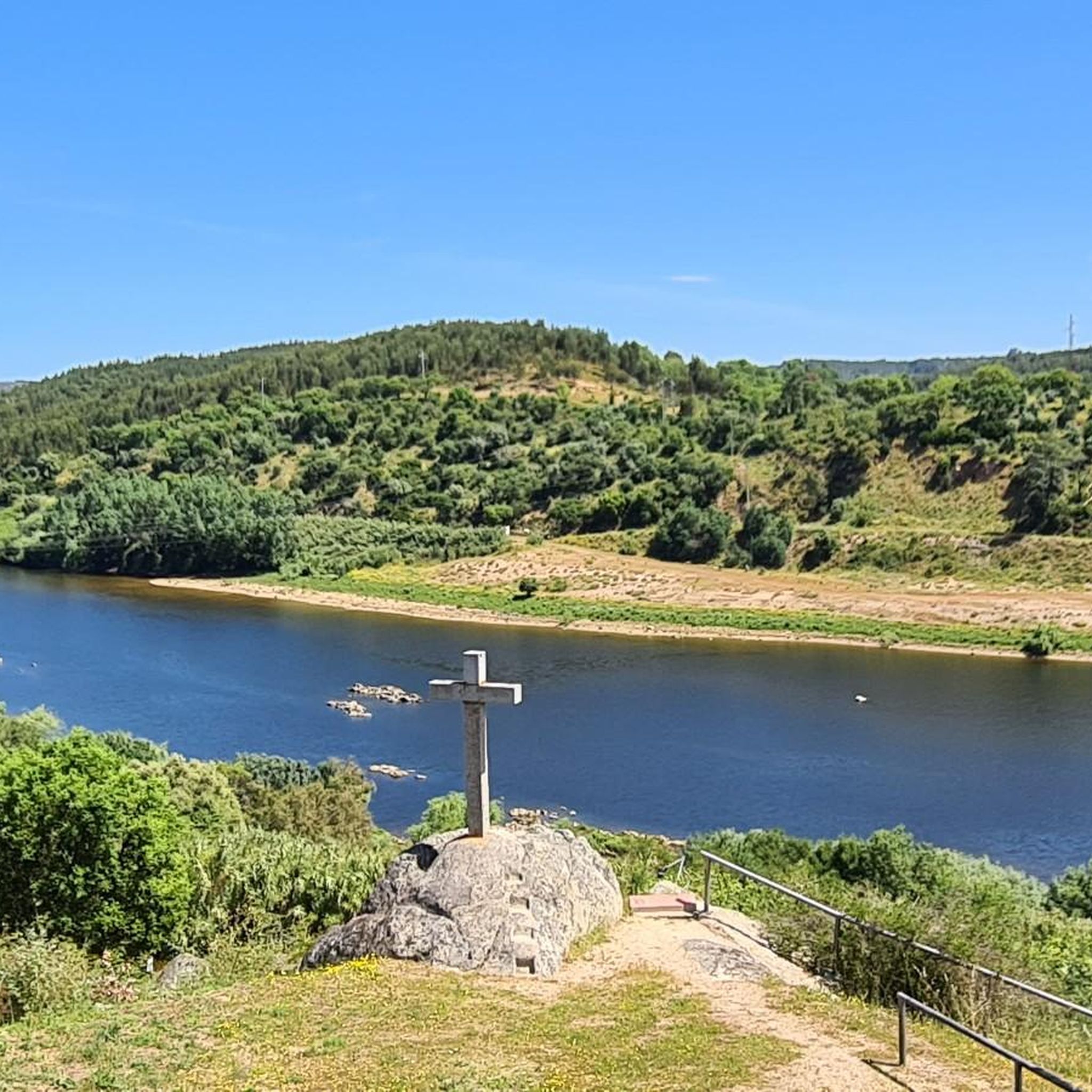
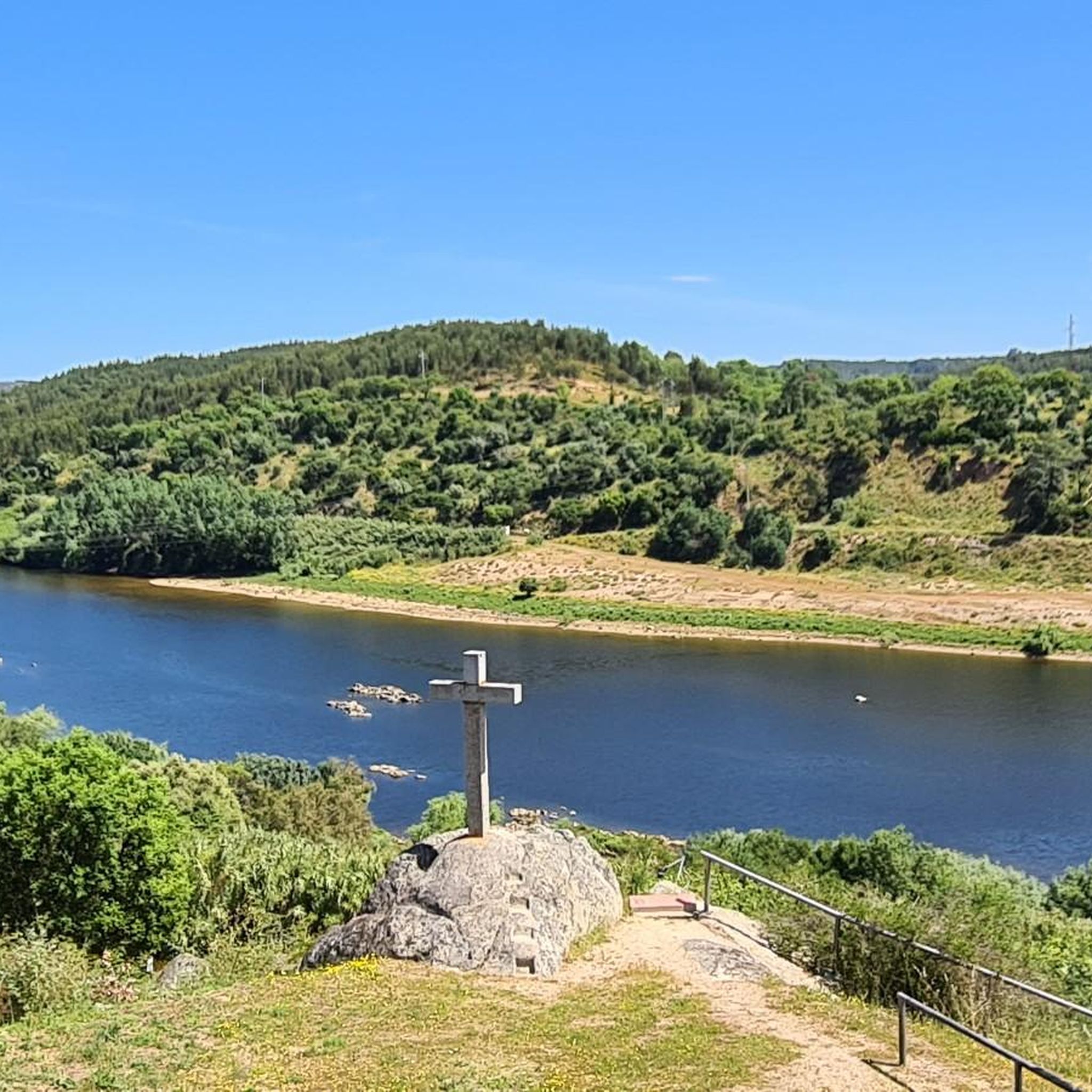
For those traveling on the EN 2, here you can relax and enjoy an immense and wonderful landscape.
2
0
This location, at an altitude of around 600 metres, offers a 360º view over a vast area, where the Serra da Lousã and Serra da Estrela stand out. This center, located about 2.7 kilometers from Vila de Rei, marks the center of the country. Here you can also find a small museum with an auditorium, bar and souvenir shop.
2
0
Bridge accessible to cyclists and offering a magnificent view of the Tejo.
19
0

It's very beautiful and fresh air
0
0
Frequently Asked Questions
What is the general difficulty level of road cycling routes in Abrantes (São Vicente)?
Road cycling routes in Abrantes (São Vicente) are primarily characterized by undulating terrain, offering a mix of moderate to difficult challenges. There are 44 moderate routes and 17 difficult routes, with significant elevation changes common on many paths.
Are there any long-distance road cycling routes available in the Abrantes (São Vicente) area?
Yes, the region features several long-distance routes. For example, the Sra. do Pranto Viewpoint – Avó Mia loop from Alferrarede covers 74.0 miles (119.2 km), offering a substantial ride through scenic areas.
What kind of elevation gain can I expect on road cycling routes around Abrantes (São Vicente)?
Many routes in Abrantes (São Vicente) include significant elevation gain due to the undulating landscape. For instance, The Wolf – Carvalhal/Abrantes 🇵🇹 – Mural of the Camino de Santiago loop from Alferrarede features over 1240 meters of ascent, providing a challenging experience for climbers.
Are there any family-friendly road cycling options in Abrantes (São Vicente)?
While many routes are moderate to difficult, some shorter, less strenuous sections or local roads might be suitable for families. It's best to check individual route profiles on komoot for detailed difficulty and terrain information to find the most appropriate options.
What is the best time of year for road biking in Abrantes (São Vicente)?
Spring (March to May) and Autumn (September to November) generally offer the most pleasant conditions for road cycling in Abrantes (São Vicente), with milder temperatures and less intense sun. Summers can be very hot, making early morning or late afternoon rides preferable.
Are there scenic viewpoints or cultural stops along the road cycling routes?
Yes, many routes offer scenic viewpoints and opportunities for cultural stops. The The Wolf – Carvalhal/Abrantes 🇵🇹 – Mural of the Camino de Santiago loop from Alferrarede passes by the Abrantes Castle and Panoramic View, and the Sra. do Pranto Viewpoint – Avó Mia loop from Alferrarede is known for its vistas. You can also find highlights like the Constância Iron Bridge and the Tagus Panoramic Trail nearby.
How many road cycling routes are available in Abrantes (São Vicente)?
There are over 60 road cycling routes available in Abrantes (São Vicente) on komoot, offering a wide range of options for different skill levels and preferences.
What do other road cyclists say about the routes in Abrantes (São Vicente)?
The road cycling routes in Abrantes (São Vicente) are highly rated by the komoot community, with an average score of 4.0 stars from 5 reviews. Cyclists often appreciate the varied countryside landscapes and the challenging undulating hills.
Are there good options for circular road cycling routes in Abrantes (São Vicente)?
Yes, many of the popular road cycling routes in the area are loops. Examples include the Train Station – Countryside Landscape loop from Alferrarede and the Aquapolis Sul loop from Alferrarede, both offering extensive circular rides.
Where can I find parking for road cycling trails in Abrantes (São Vicente)?
Parking is generally available in and around the main towns and villages, such as Alferrarede, which serves as a common starting point for many routes. Specific parking details can often be found in the route descriptions on komoot or by checking local maps.
Are there cafes or places to stop for refreshments along the routes?
As routes often pass through or near villages and towns, you can typically find cafes and small shops for refreshments. Planning your route with komoot allows you to identify potential stops along the way.
What makes road cycling in Abrantes (São Vicente) unique compared to other areas?
Abrantes (São Vicente) stands out for its distinctive blend of undulating hills, expansive rural views, and a network of routes that cater to both moderate and difficult skill levels. The region's varied countryside and historical points of interest, such as the Abrantes Castle, offer a rich cycling experience.
Most popular attractions around Abrantes (São Vicente)

Get inspired with the komoot mobile app


Explore more
Browse the best Road cycling routes in other regions.
