Schloß Holte-Stukenbrock
Schloß Holte-Stukenbrock
The 8 Most Amazing Peaks around Schloß Holte-Stukenbrock
Best mountain peaks around Schloß Holte-Stukenbrock are characterized by elevated natural areas and hills rather than towering summits. The region's topography features a generally flat landscape, with local high points offering scenic hiking opportunities. These natural attractions provide varied terrain for outdoor activities, including forests and valleys. The highest points near Schloß Holte-Stukenbrock offer modest elevation gains suitable for diverse fitness levels.
Best mountain peaks around Schloß Holte-Stukenbrock
- The most popular mountain peaks is Bielstein Transmitter, a man-made monument…
Last updated: July 7, 2026
Bielstein Transmitter
Highlight • Monument
Translated by Google •
Tip by

Lewenberg
Highlight • Summit
Translated by Google •
Tip by

Sign up now to discover places like this
Get recommendations on the best single tracks, peaks, & plenty of other exciting outdoor places.
Sign up for free
Auf dem Polle (Highest Peak of Bielefeld)
Highlight (Segment) • Summit
Translated by Google •
Tip by

Hermannsberg Mountain Bike Trail
Highlight • Trail
Translated by Google •
Tip by
Hellegrundsberg
Highlight (Segment) • Summit
The path splits high up - so there are various descents - it is steep and rocky downhill.
Translated by Google •
Tip by
Sign up for free to discover even more peaks around Schloß Holte-Stukenbrock.
Sign up for free
Already have an account?
Start today with a free account
Your next adventure awaits.
Login or Signup
Popular around Schloß Holte-Stukenbrock
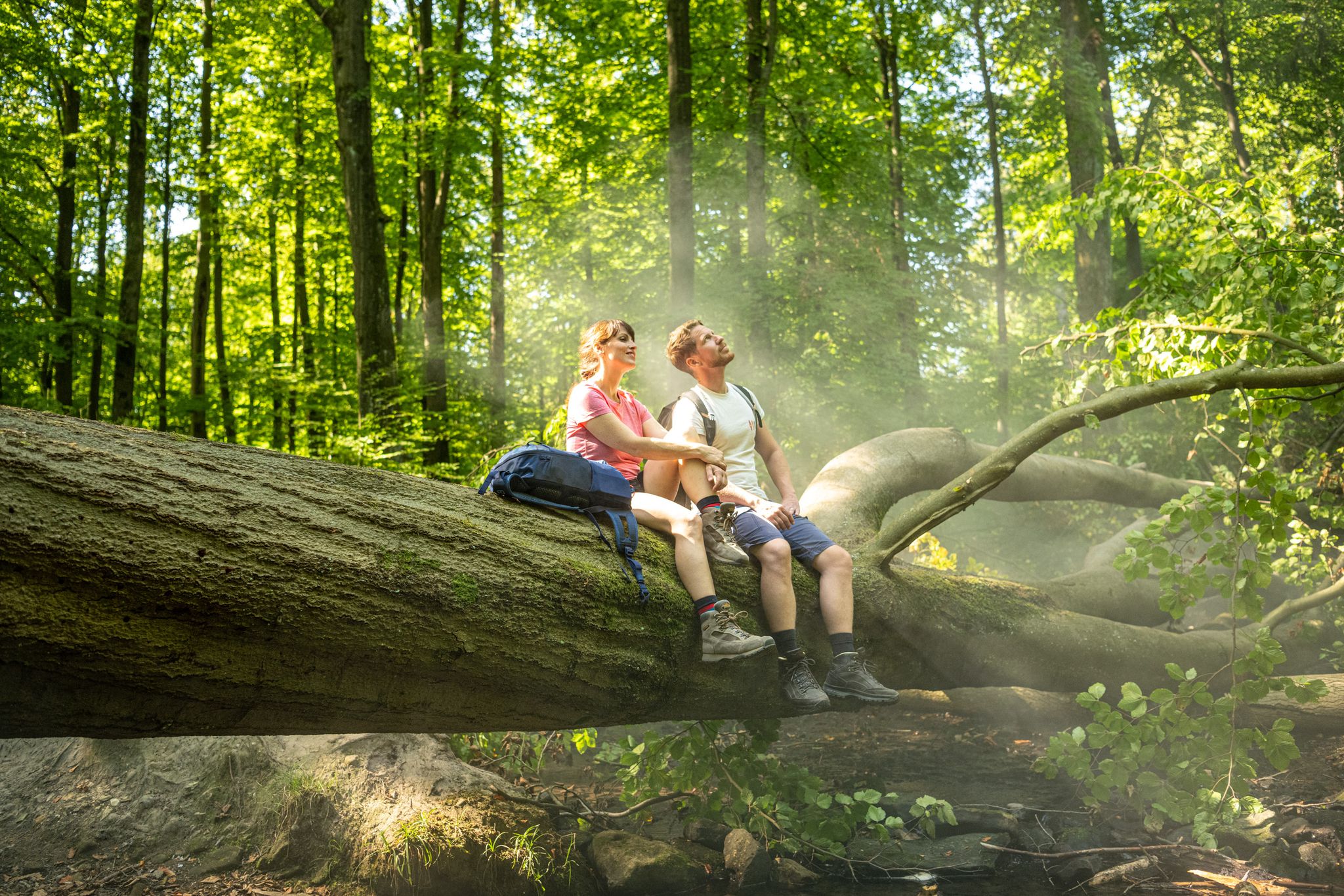
Discover pure nature – Germany’s Teutoburg Forest trails
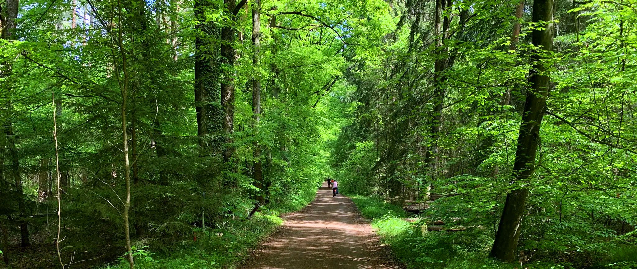
Cycling the BikeTrainTour Teuto-Senne from Osnabrück to Paderborn
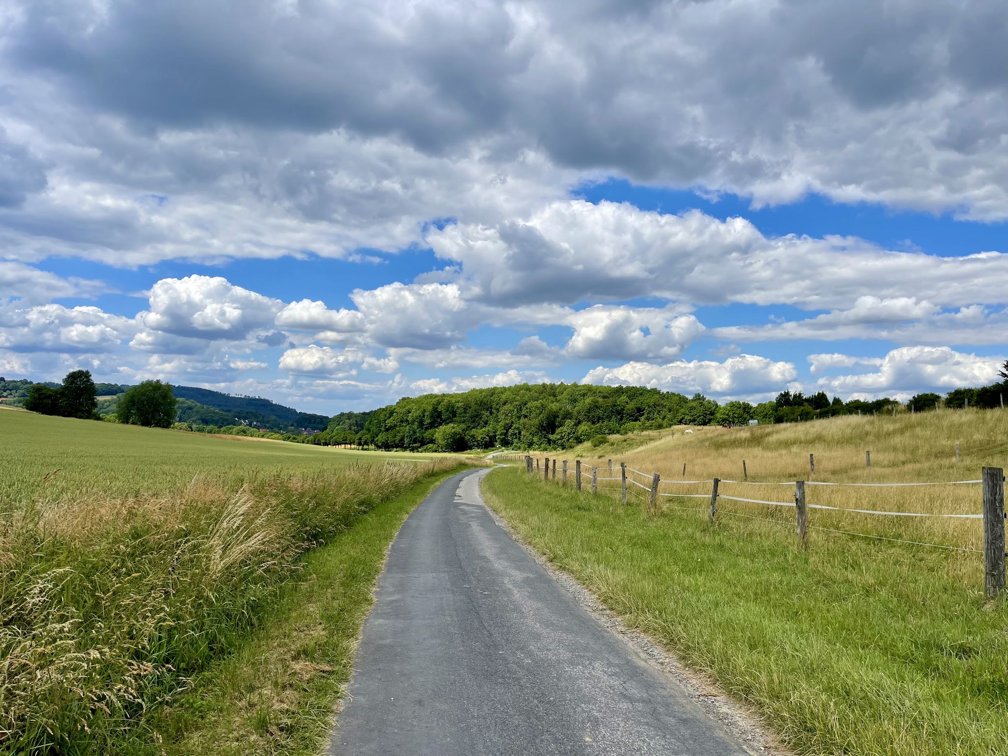
D-Route 3: European Route R1
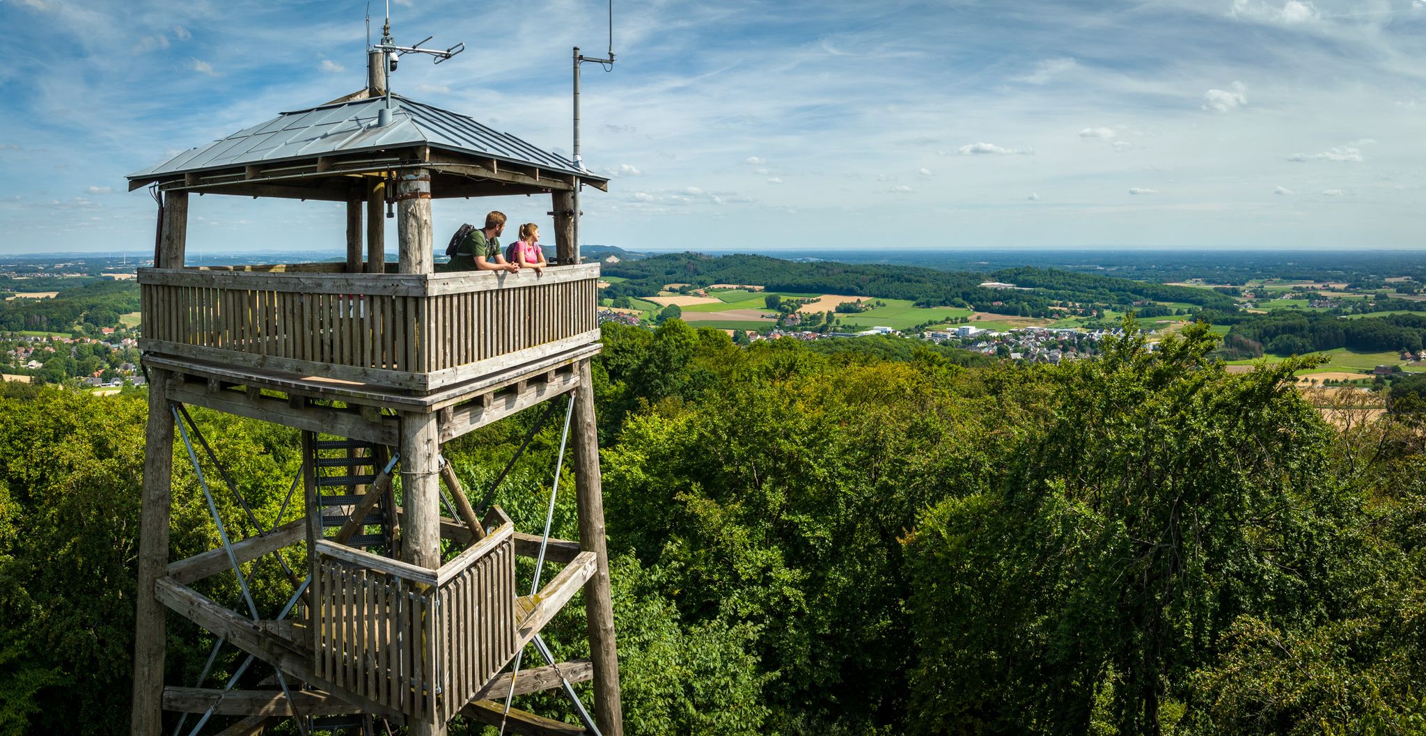
Grüne Wege statt Rote Ampeln – Aktive Auszeit im Teutoburger Wald
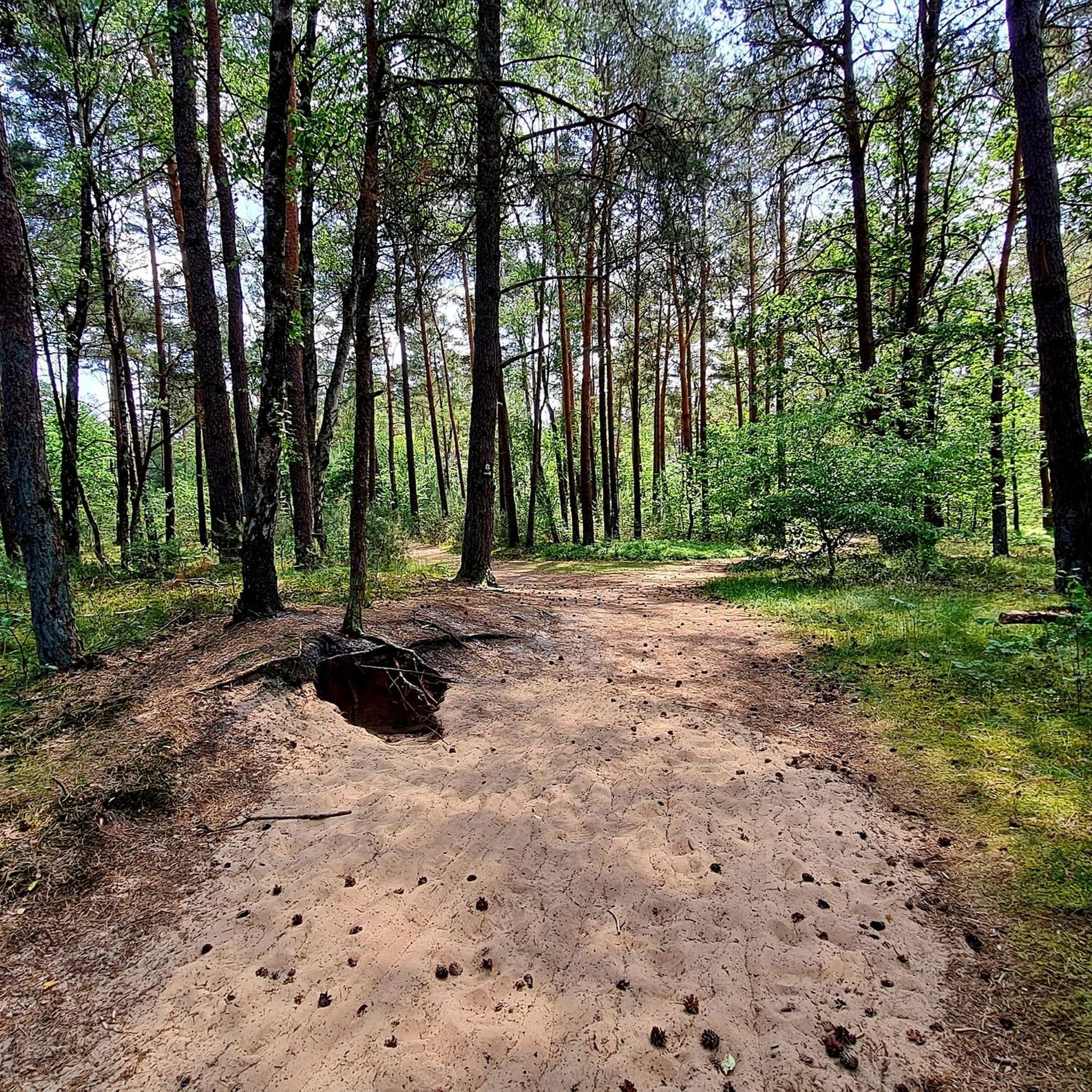
Hiking around Schloß Holte-Stukenbrock
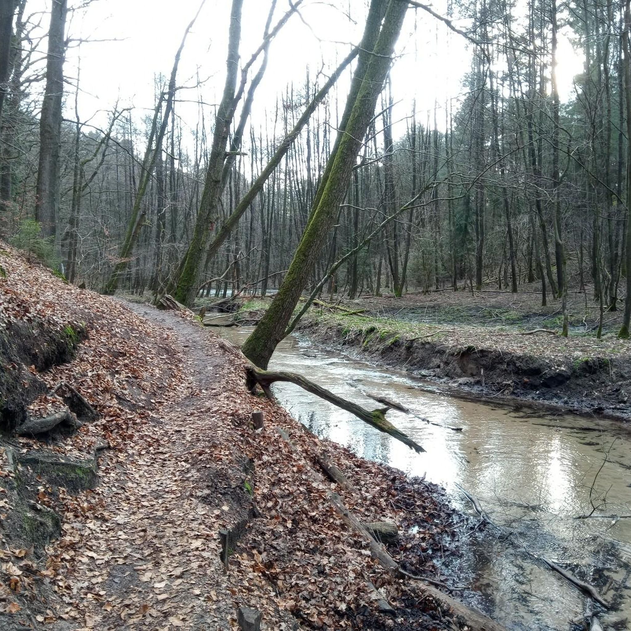
Cycling around Schloß Holte-Stukenbrock
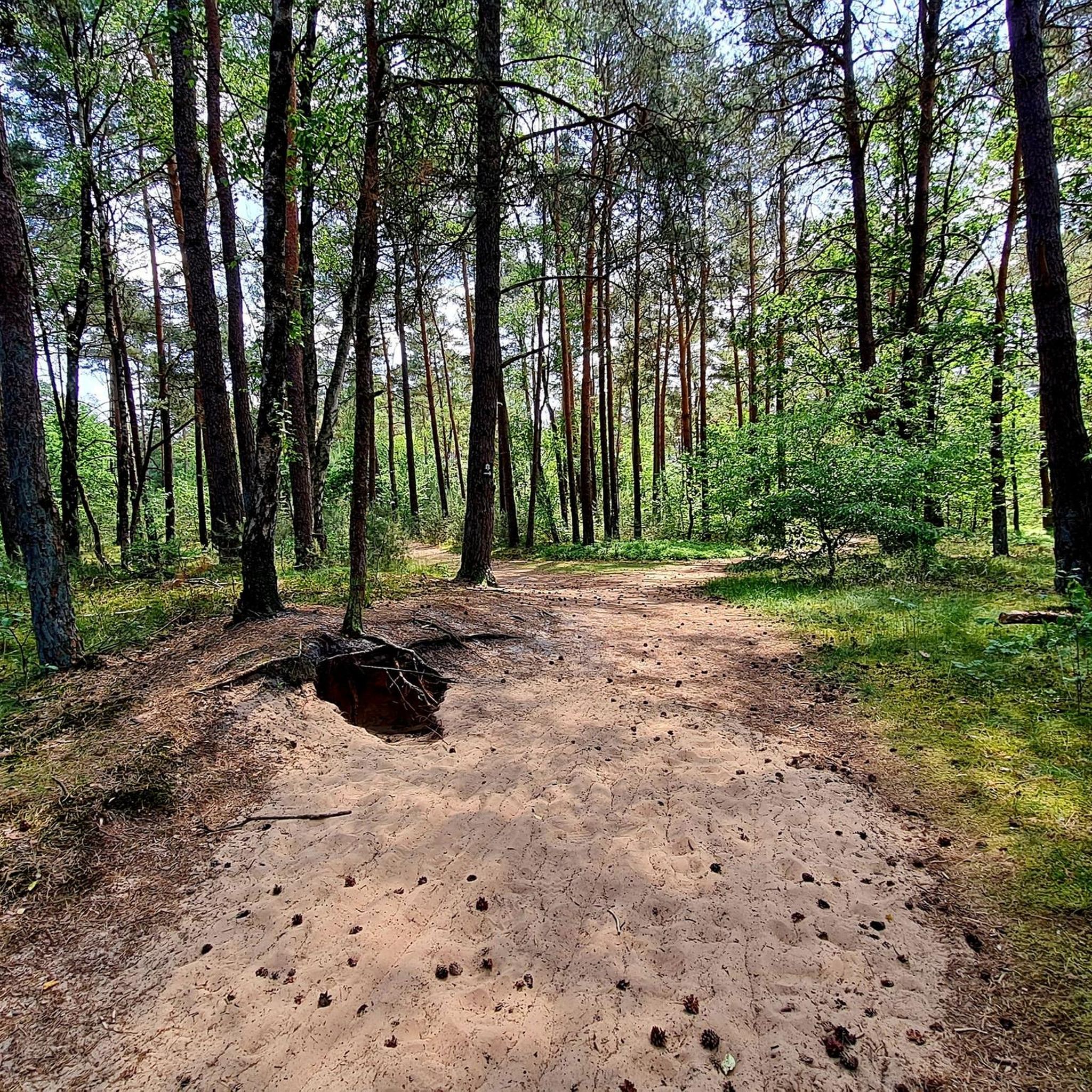
Road Cycling Routes around Schloß Holte-Stukenbrock
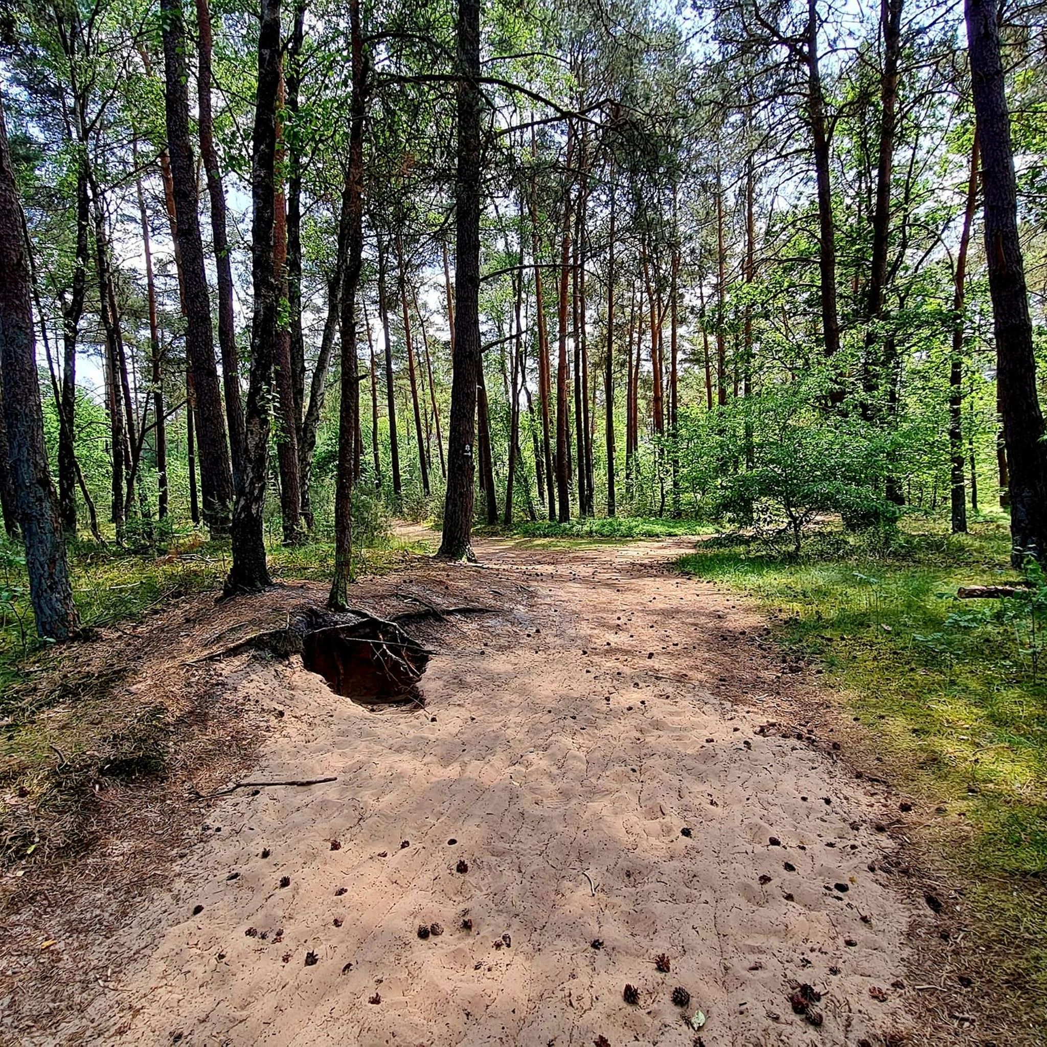
MTB Trails around Schloß Holte-Stukenbrock
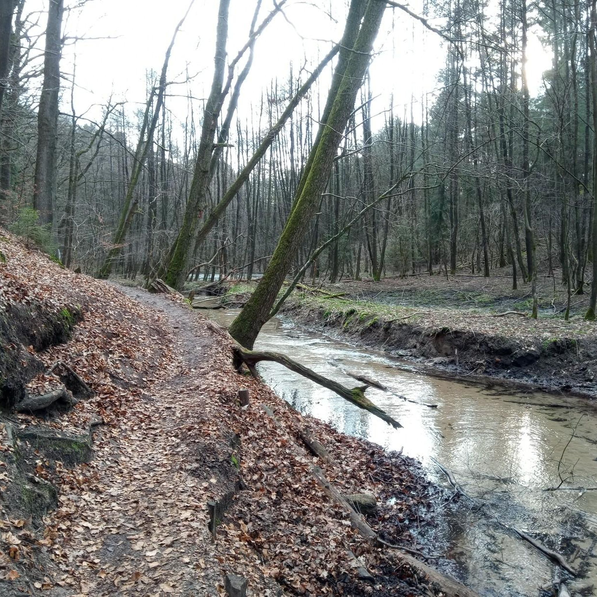
Running Trails around Schloß Holte-Stukenbrock
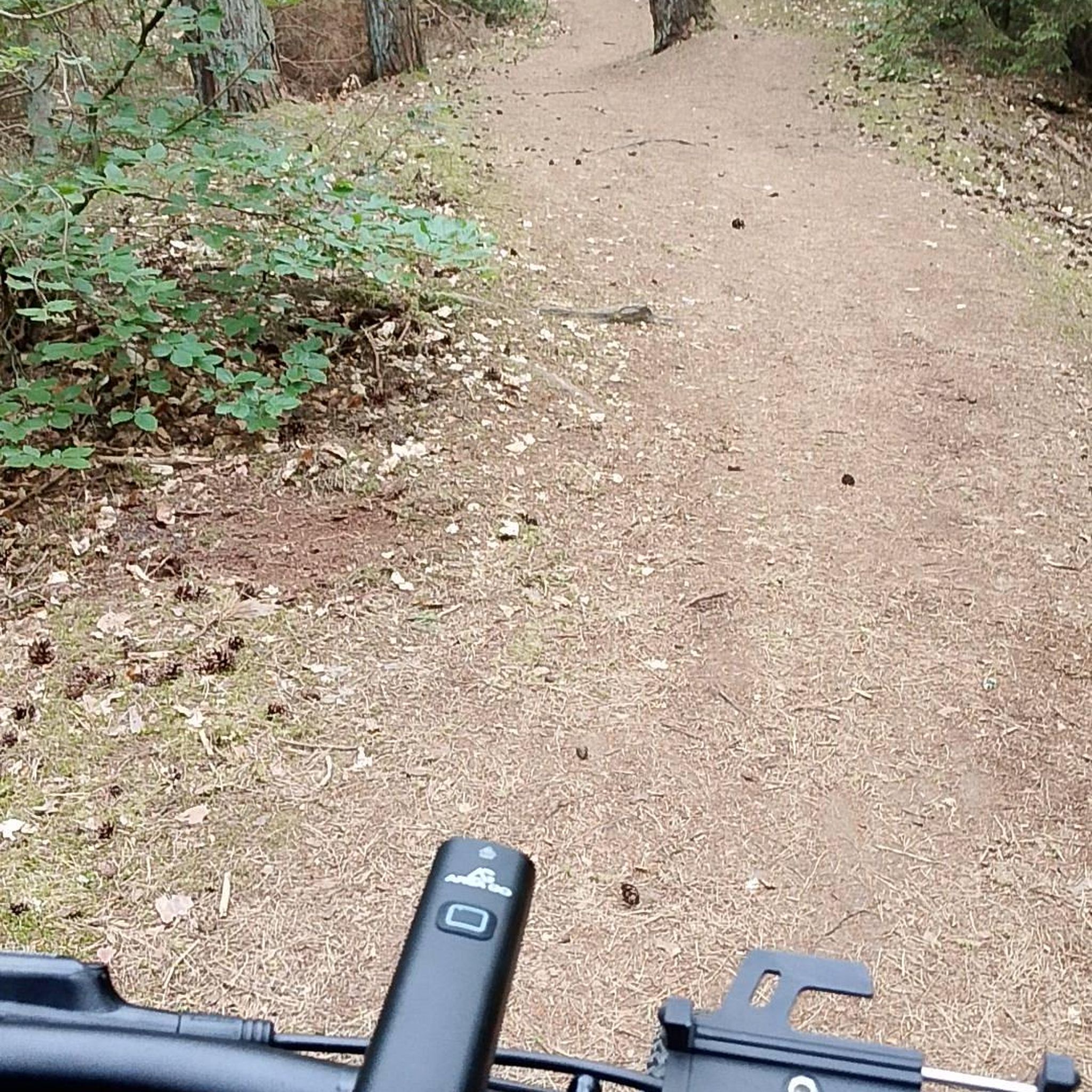
Gravel biking around Schloß Holte-Stukenbrock
Other adventures around Schloß Holte-Stukenbrock


Tips from the Community

Beautiful path in May with wild garlic blooming.
0
0


Quite challenging. Not for beginners :-)
0
0

The Lewenberg is a 312.6 m above sea level mountain in the Teutoburg Forest near Bielefeld-Lämershagen and, after the Auf dem Polle (320 m), the second highest mountain in Bielefeld. The Lewenberg is located in the Eastern Teutoburg Forest nature reserve. To the north of it is the Lietegge (285 m), to the east is the Maakenberg (286.5 m), to the south is the “Markengrund” weekend house area and to the west is the Auf dem Polle (320 m), as well as the A 2. On the eastern summit of the Lewenberg are the remains of the Löwenburg. Source: https://de.wikipedia.org/wiki/Lewenberg_(Teutoburger_Wald)
1
0


The Teutoburg Forest transmitter - popularly known as the "Bielstein transmitter" - belongs to the WDR and is located on the Bielstein mountain, 393 m above sea level. After two years of construction, a 298 m high tubular steel mast was put into operation in 1970. On January 15, 1985, ice and gusty winds tore a sleeve and the transmitter fell over. It was then replaced in 1986 by a 302 m high, guyed steel truss mast.
4
1


The best way to hike from Hiddesen is via the Residenzweg, then you only have a few hundred meters of asphalt just before the transmitter. The descent towards the south then goes along a gravel forest path. Of course, it's better to ride a bike over the asphalt access to the transmission tower. You can reach it from Heidentalstrasse (also in Hiddesen).
2
0
Frequently Asked Questions
What kind of elevated areas or 'peaks' can I expect to find around Schloß Holte-Stukenbrock?
The region of Schloß Holte-Stukenbrock is characterized by a generally flat topography, so you won't find towering mountain summits. Instead, the area offers charming elevated natural areas, hills, and high points that provide scenic hiking and outdoor opportunities. These include diverse landscapes like the Bielstein Transmitter, located on the Bielstein mountain at 393 meters, and the wooded summit of Lewenberg at 312 meters.
Are there any challenging trails for experienced hikers or mountain bikers?
Yes, for those seeking a challenge, the Hermannsberg Mountain Bike Trail offers a demanding experience with an elevation of over 360 meters and a long stretch over the ridge. Similarly, Auf dem Polle (Highest Peak of Bielefeld), at 320 meters, features steep, rooty, and stony sections, requiring strength and caution. The Hellegrundsberg also presents a long mountain route with ups and downs, and steep, rocky descents.
What natural attractions can I explore in the elevated areas near Schloß Holte-Stukenbrock?
Beyond specific high points, the region boasts several beautiful natural areas. The Holter Wald (Holter Forest) is a 613-hectare nature reserve with peaceful woodland trails. The Furlbachtal (Furlbach Valley) offers picturesque routes along narrow forest paths and winding riverside trails, known for its 'pure nature.' The Moosheide Nature Reserve and Ems Springs area features pine forests, glacial dunes, and open heathlands, where you can observe the Ems River forming from numerous spring outlets.
Are there family-friendly options for walks or hikes in the area?
Yes, many of the elevated natural areas and trails are suitable for families. The Holter Wald offers accessible paths for a leisurely stroll, and the Ems adventure trail in the Moosheide is an easy option for exploring the unique landscape. While some peaks like Bielstein Transmitter are generally considered family-friendly, always check the specific trail difficulty to ensure it matches your family's capabilities.
What outdoor activities can I do near these elevated areas?
The region offers a variety of outdoor activities. For hiking, you can explore routes like 'The romantic Furlbach Valley' or the 'Ems adventure trail: Moosheide north loop.' Cyclists can enjoy routes such as 'Moosheide Heathland – Heather Fields at Moosheide loop' or 'Holte Castle – Ölbach in the Holter Forest loop.' For more details on these and other routes, visit the Hiking around Schloß Holte-Stukenbrock or Cycling around Schloß Holte-Stukenbrock guides.
Are there specific hiking trails near the elevated areas?
Yes, there are numerous hiking trails. For instance, the 'Schlossweg' and 'Holter Waldweg' lead through the Holter Forest. The 'Ems adventure trail' and 'Moosheide north loop' are popular in the Moosheide Nature Reserve. You can find more hiking options, including 'The romantic Furlbach Valley' and 'Ems Springs,' in the Hiking around Schloß Holte-Stukenbrock guide.
What do visitors enjoy most about the elevated areas around Schloß Holte-Stukenbrock?
Visitors appreciate the diverse natural beauty and the well-maintained network of paths. Many enjoy the peaceful woodland environment of Holter Wald, the 'pure nature' of the Furlbachtal, and the unique ecosystems of the Moosheide, including the Ems Springs. The modest elevation gains offer accessible outdoor recreation for various fitness levels, with some trails providing rewarding views after a steep ascent, such as from Lewenberg.
Can I bring my dog on hikes to these elevated areas?
Many natural areas and trails around Schloß Holte-Stukenbrock are dog-friendly, allowing you to enjoy the outdoors with your canine companion. For example, the Bielstein Transmitter area is listed as dog-friendly. However, it's always advisable to check local regulations and ensure your dog is on a leash, especially in nature reserves or areas with wildlife.
What is the highest point in the immediate vicinity of Schloß Holte-Stukenbrock?
While not a traditional mountain, the Bielstein Transmitter is located on the Bielstein mountain at 393 meters above sea level, making it one of the highest points in the broader area and a significant landmark.
Are there any viewpoints offering panoramic scenery?
Yes, several elevated spots provide good views. The Bielstein Transmitter offers good views of the surrounding country. Despite its steep ascent, Lewenberg rewards hikers with a beautiful view from its wooded summit. Additionally, Auf dem Polle, the highest elevation in Bielefeld, offers scenic vistas, particularly in spring.
What is the best time of year to visit the elevated areas and trails?
The elevated areas and trails around Schloß Holte-Stukenbrock can be enjoyed year-round. Spring brings lush greenery and blooming flora, while autumn offers vibrant fall colors. Summer is ideal for longer hikes, and even winter can be beautiful for crisp walks, though some trails might be more challenging due to conditions like ice or snow, especially on steeper sections like those found on Auf dem Polle or Hellegrundsberg.
Most popular routes around Schloß Holte-Stukenbrock
Most popular attractions around Schloß Holte-Stukenbrock

Get inspired with the komoot mobile app


Explore more
See even more amazing summits around Schloß Holte-Stukenbrock with these guides:
