The best road cycling routes around Serra De Santo António
4.1
(13)
641
riders
67
rides
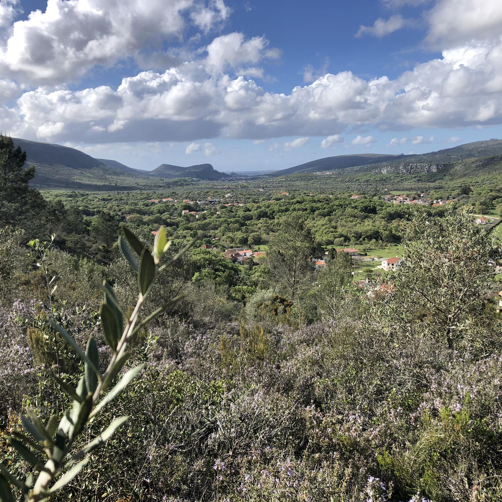
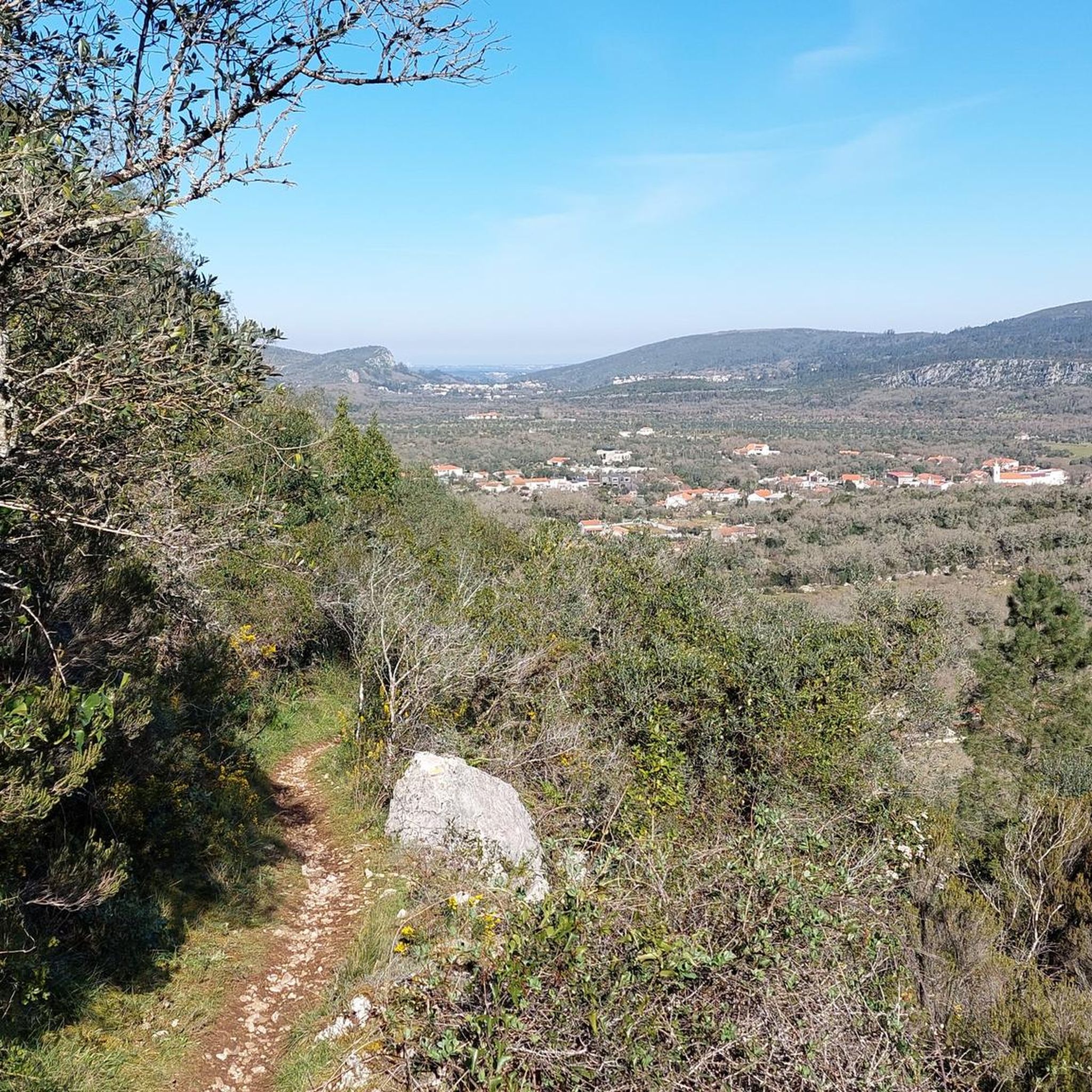
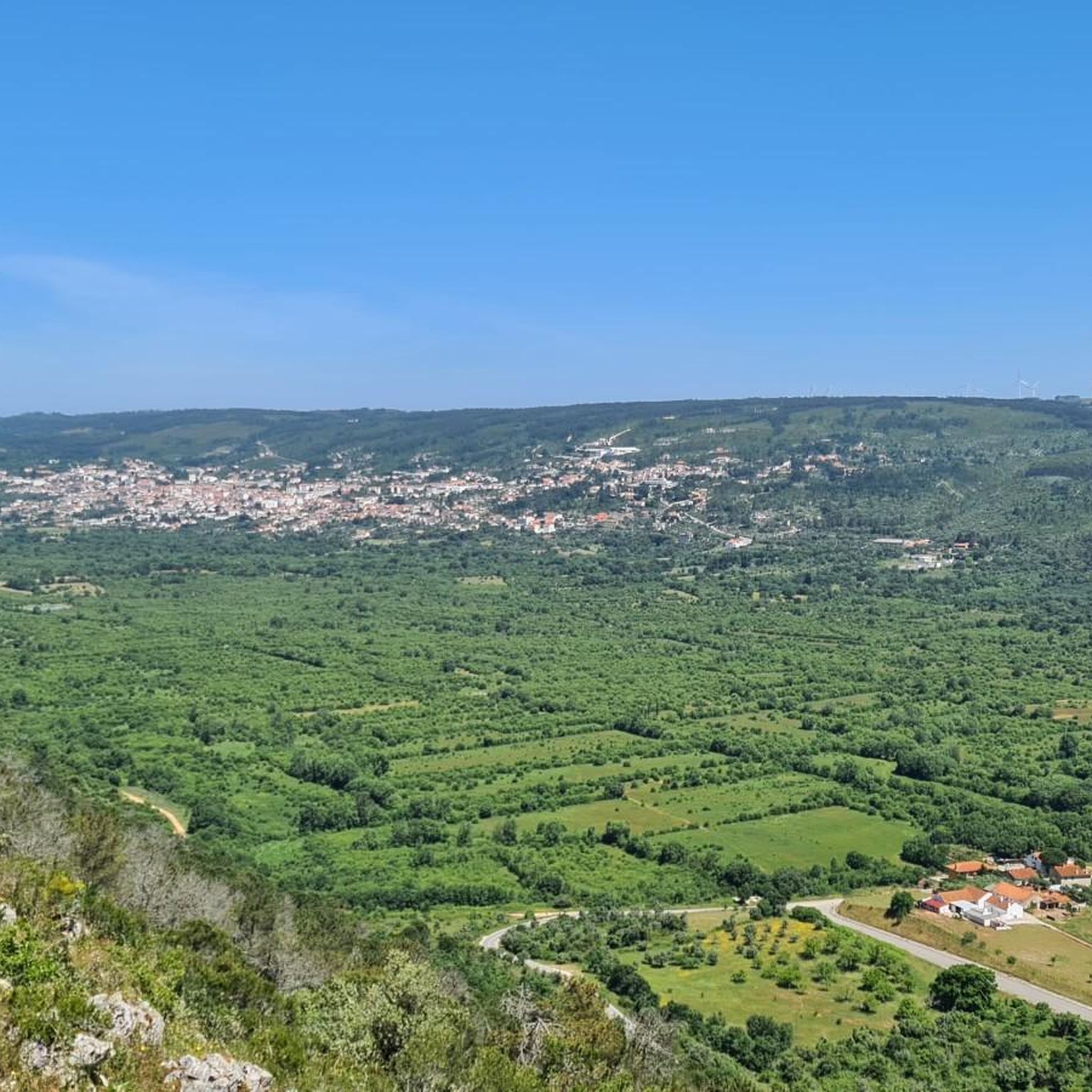
Road cycling around Serra De Santo António, Portugal, offers routes through a distinctive karst topography situated on a limestone plateau. This region is characterized by dry superficial terrain, traditional dry stone walls, and ancient olive groves. The landscape provides varied terrain for road cyclists, from gentle gradients to more challenging ascents. The area is part of the Serra de Aire e Candeeiros Natural Park, known for its natural features.
Best road cycling routes around Serra De Santo António
- The most…
Last updated: October 12, 2026
63
riders
117km
04:58
890m
890m
Moderate road ride. Good fitness required. Some segments of this route may be unpaved and difficult to ride.
4.5
(2)
37
riders
59.4km
02:48
710m
700m
Moderate road ride. Good fitness required. Mostly well-paved surfaces and easy to ride.

36
riders
90.6km
03:47
580m
580m
Moderate road ride. Good fitness required. Mostly well-paved surfaces and easy to ride.
28
riders
46.2km
02:06
430m
430m
Moderate road ride. Good fitness required. Mostly well-paved surfaces and easy to ride.
30
riders
91.0km
04:28
1,020m
1,020m
Hard road ride. Very good fitness required. Some segments of this route may be unpaved and difficult to ride.
Get access to more routes and recommendations from other explorers.
Already have an account?
Our route recommendations are based on thousands of hikes, rides, and runs completed by other people on komoot.
Start today with a free account
Your next adventure awaits.
Tips from the Community

A peaceful spot for a picnic, with several mountain bike trails nearby, as well as paved roads. A good starting point for some walks.
0
0

Gorgeous views! The climb to Alqueidão da Serra is tough for beginners.
1
0

In the village of Casais Robustas, along the road to Fatima, there's a very nice café filled with trophies from the pilgrims—flags, shirts, and other items. The staff is very friendly to the pilgrims.
0
0

Bus stop built with the same material as the Chamusca bridge
16
0
The Golegã National Horse Fair, also known as the São Martinho Fair, is an event with historical roots dating back to 1571, when it was established as an annual fair. Over the centuries, the fair has evolved and established itself as an important center for the exhibition and sale of the Lusitano horse, attracting breeders, riders and enthusiasts from all over the country and abroad.
13
0
Tribute to the former professional cyclist from Riachos
15
0
Frequently Asked Questions
How many road cycling routes are available in Serra De Santo António?
There are over 80 road cycling routes available in Serra De Santo António, offering a wide range of options for different skill levels and preferences.
What kind of terrain can I expect when road cycling in Serra De Santo António?
The region is characterized by a distinctive karst topography on a limestone plateau, featuring dry superficial terrain, traditional dry stone walls, and ancient olive groves. You can expect varied terrain, from gentle gradients to more challenging ascents, providing an engaging experience for road cyclists.
Are there any family-friendly road cycling routes in the area?
While most routes are rated moderate, there are 4 routes specifically categorized as easy, which might be more suitable for families or those looking for a less strenuous ride. Always check the route details for elevation and distance to ensure it matches your family's ability.
Can I bring my dog on road cycling routes in Serra De Santo António?
Road cycling routes are generally not suitable for dogs, especially on paved roads where traffic can be a concern. For dog-friendly outdoor activities, it's usually better to look for dedicated hiking or walking trails where dogs are permitted and safe.
What are some notable natural features or landmarks to see while cycling?
The area is rich in natural and historical features. You can encounter traditional dry stone walls, ancient olive groves, and unique karst formations. Notable attractions include the spectacular Grutas de Mira de Aire and the impressive Cova da Velha. Some routes also pass by historical sites like the Castelo De Torres Novas.
Are there any caves I can visit near the cycling routes?
Yes, the Serra de Santo António region is known for its caves. The Grutas de Mira de Aire are a major attraction offering guided tours into the underground world. The Cova da Velha is another notable cave in the vicinity.
What is the best time of year for road cycling in Serra De Santo António?
Given the region's climate, spring and autumn generally offer the most pleasant weather for road cycling, with milder temperatures and less extreme heat than summer. These seasons also showcase the natural beauty of the olive groves and karstic landscape at their best.
Are there routes suitable for beginners or those looking for an easier ride?
Yes, out of the 81 available routes, 4 are classified as easy. These routes typically feature less elevation gain and shorter distances, making them ideal for beginners or those seeking a more relaxed cycling experience.
What about more challenging routes for experienced cyclists?
For experienced cyclists seeking a challenge, there are 16 difficult routes available. These routes often include significant elevation gains and longer distances, such as the Carlos Relvas House-Studio – Golegã loop from Minde, which covers over 80 km with substantial climbing.
Are there circular road cycling routes available?
Yes, many of the road cycling routes in Serra De Santo António are designed as loops, allowing you to start and finish at the same point. Examples include the Tribute to the cyclist Diamantino – Castelo De Torres Novas loop from Mira de Aire and the Malhou – Pilgrims' Café loop from Mira de Aire.
Where can I find parking for road cycling in Serra De Santo António?
Parking availability varies by starting point. Many routes begin from towns or villages like Mira de Aire or Minde, where public parking is generally available. It's advisable to check specific route details or local information for designated parking areas near your chosen starting point.
What do other cyclists say about road cycling in Serra De Santo António?
The road cycling routes in Serra De Santo António are highly rated by the komoot community, with an average score of 3.8 stars from over 10 reviews. Cyclists often praise the varied terrain, scenic views through traditional agricultural fields, and the unique karst landscape.
Are there any waterfalls accessible from the cycling routes?
Yes, the Fórnea Waterfall is a notable natural monument in the area. While not directly on every road cycling route, it is an accessible highlight that can be visited as part of a cycling trip or a short detour.
Most popular attractions around Serra De Santo António

Get inspired with the komoot mobile app


Explore more
Browse the best Road cycling routes in other regions.
