The best MTB trails around Benfica Do Ribatejo
4.5
(25)
193
riders
38
rides
Mountain biking around Benfica Do Ribatejo features diverse landscapes shaped by the Tagus River, including fertile floodplains and wetlands. The terrain varies from flat, scenic routes through agricultural land to more demanding paths with unpaved sections and elevation changes. Olive groves, vineyards, and heathlands characterize areas away from the river. This region provides a variety of mountain bike routes suitable for different skill levels.
Best mountain bike trails around Benfica Do Ribatejo
- The most popular mountain bike trail is Queen…
Last updated: October 11, 2026
7
riders
Moderate mountain bike ride. Good fitness required. Suitable for all skill levels.
5.0
(1)
1
riders
30.8km
02:29
230m
230m
Moderate mountain bike ride. Good fitness required. Advanced riding skills necessary.

3
riders
Moderate mountain bike ride. Good fitness required. Suitable for all skill levels.
3.0
(1)
2
riders
21.6km
01:33
90m
90m
Moderate mountain bike ride. Great for any fitness level. Advanced riding skills necessary.
4
riders
92.9km
06:55
340m
340m
Hard mountain bike ride. Very good fitness required. Advanced riding skills necessary.
Get access to more routes and recommendations from other explorers.
Already have an account?
Our route recommendations are based on thousands of hikes, rides, and runs completed by other people on komoot.
Start today with a free account
Your next adventure awaits.
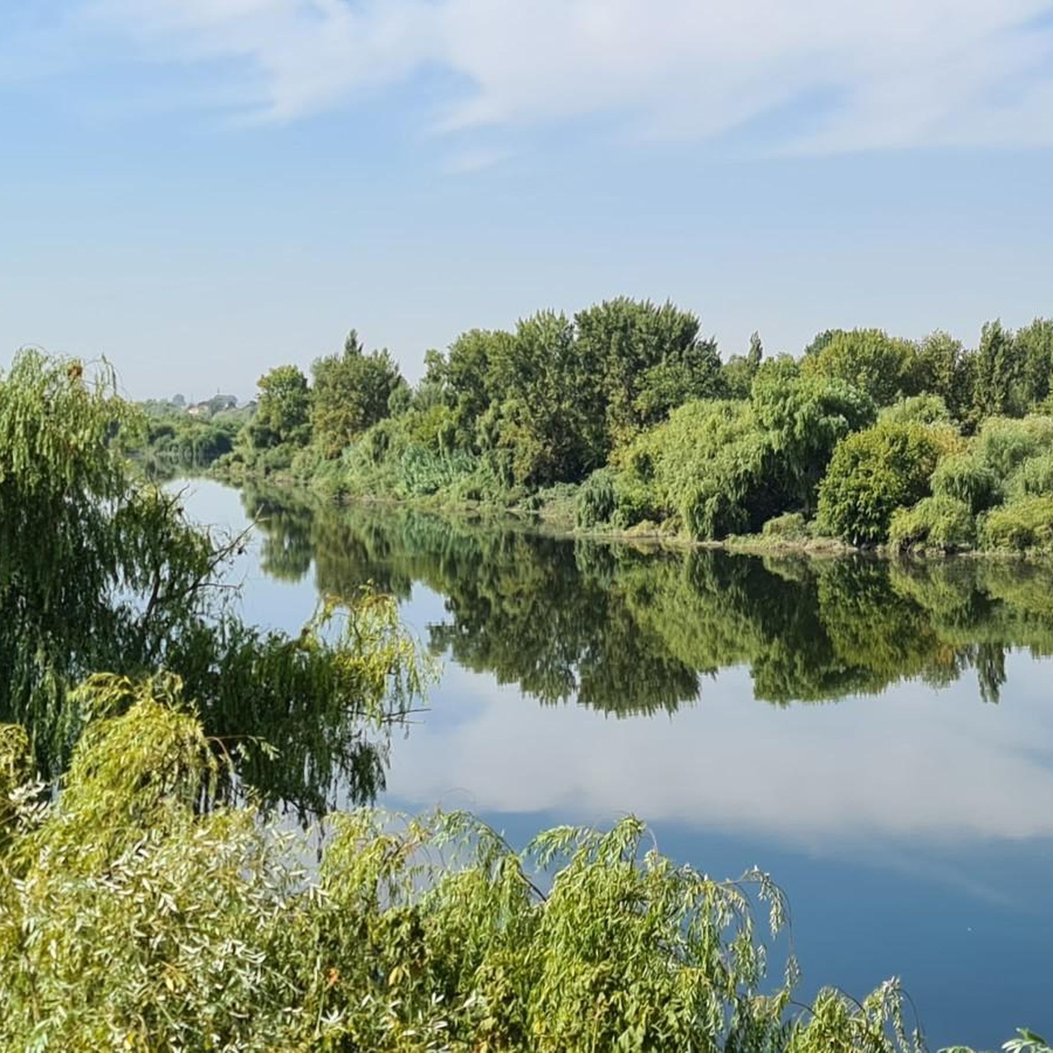

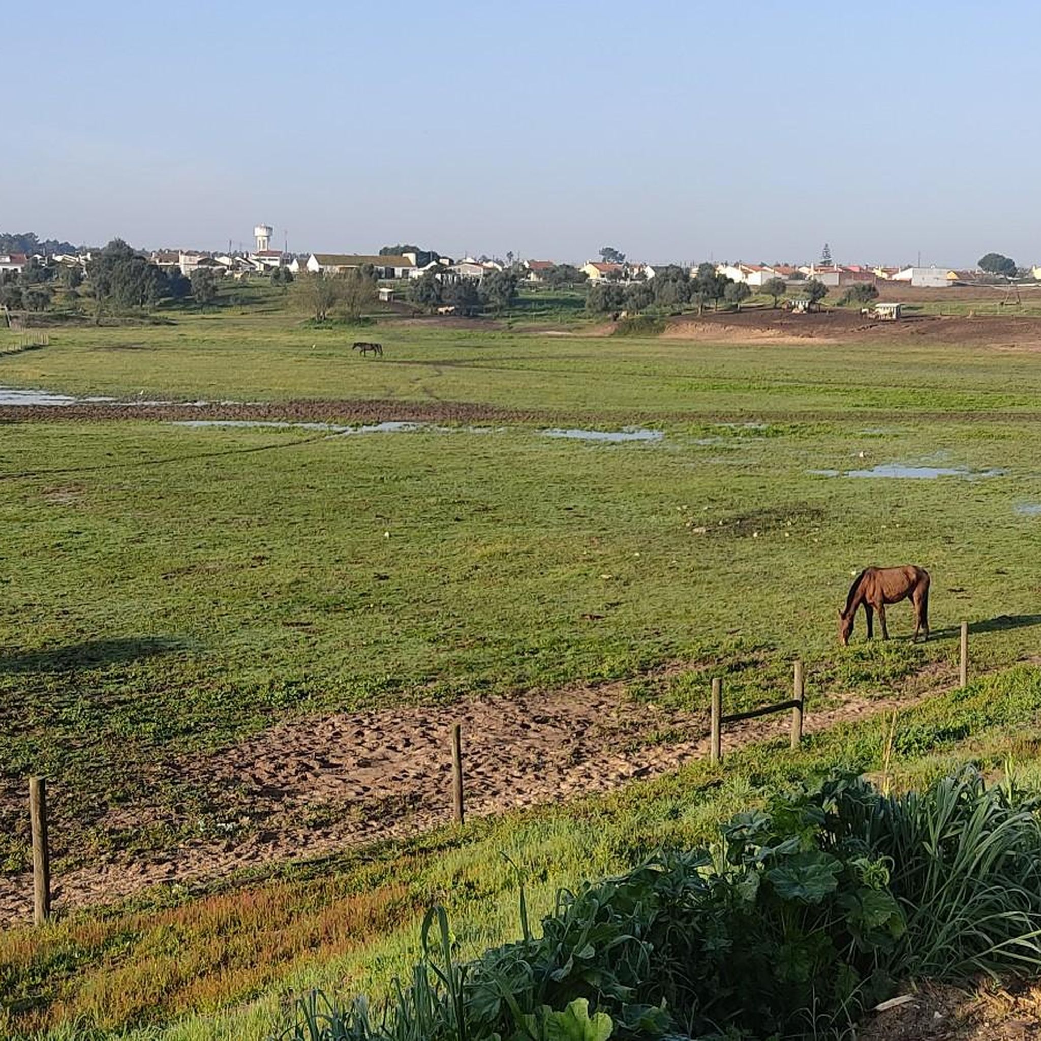

Tips from the Community

Built during the Roman period, it is an important vestige of that people's presence in the municipality. The Roman presence in the parish of Muge is clearly evident in the area of Porto de Sabugueiro. The most striking vestiges of this historical period are found here. Porto de Sabugueiro, due to its proximity to the Tagus River, was an important river port during the Roman period. Excavations and published studies define this location as an important Roman village, with ceramic production, due to the existence of a ceramic kiln found here in the 1960s. Approximately 400 meters from this location is the Roman Bridge, which crosses the Muge stream. The construction techniques used, especially in the larger arch, undoubtedly indicate a Roman origin; however, the two smaller arches, due to their typology, are attributable to the Middle Ages. This bridge was one of the main crossing points connecting Muge to the interior of the country (Alentejo) and to the city of Santarém. It possesses undeniable historical value, forming part of the memory and heritage identity of the municipality of Salvaterra de Magos. (Source: www.salvaterrademagos.pt)
16
0

Delicious bifana to recharge your batteries :)
1
0

Easy to miss, did this route a few times and only saw it this time.
0
0

Valada is one of the eight parishes in the Municipality of Cartaxo, and is also one of the oldest. According to historians, the Romans were the first farmers in the Valada field, however it was during Arab rule that the first documents appeared making reference to their uber rich land. The ex-libris of the parish is the Tagus River, with its surrounding space of great beauty, its river beach, picnic area and camping site. A meeting place, par excellence, for outsiders who visit the parish. As a heritage site, Valada is proud of its church dating back to 1211, during the reign of Dom Afonso II. Losing part of its beauty, after the restoration of 1962, its patron saint is Our Lady of the Spectation of Ó
3
0
Roman bridge, renovated in medieval times, which crosses the Muge stream, with a pebble deck and guardrails opened through slits, resting on 3 unequal arches, with a perfect turn. From the construction apparatus used, especially the larger arch, it is undoubtedly Roman in origin, however the other two smaller arches, due to their typology, are attributable to the Middle Ages. This Bridge was once one of the main crossing points, which connected Muge, both to the interior of the country (Alentejo) and to the city of Santarém.
8
0
Pretty little fishing village on the banks of the Tagus. There are chairs, barbecue tables and a water point. It is possible to take boat tours.
3
0
The construction of the Sorraia Valley Irrigation Work, of which this canal bridge forms part, began in 1959, and is believed to be one of the first works of its kind in Portugal. The Sorraia Valley Irrigation Work, which includes the Sorraia Canal, the Furadouro Dam and the Montargil and Maranhão dams, covers an area of 15,365 hectares, in the districts of Portalegre, Évora and Santarém, promoting the efficient use of water in agriculture in the fertile territories of the municipalities of Ponte de Sor, Avis, Mora, Coruche, Salvaterra de Magos and Benavente.
1
0
Frequently Asked Questions
How many mountain bike trails are available around Benfica Do Ribatejo?
There are nearly 40 mountain bike trails around Benfica Do Ribatejo. These routes cater to various skill levels, with 4 easy, 30 moderate, and 5 difficult options.
What kind of terrain can I expect on mountain bike trails in Benfica Do Ribatejo?
The terrain around Benfica Do Ribatejo is diverse, shaped by the Tagus River. You'll find routes through fertile floodplains and wetlands, as well as paths through olive groves, vineyards, and heathlands away from the river. Expect a mix of flat, scenic sections and more demanding unpaved segments with elevation changes.
Are there any family-friendly mountain bike trails in the area?
Yes, there are several easy and moderate trails suitable for families. For example, the region offers 4 easy routes that are generally flatter and less challenging, making them ideal for a family outing.
What are some notable landmarks or natural features I might see on a mountain bike ride?
Many routes offer views of the Tagus River and its floodplains. You might also encounter historical structures such as the Ponte Rainha D. Amélia or the Roman Bridge of Muge. The Valada Village and the Beira Tejo Boat in Valada are also points of interest along some trails.
Are there any challenging mountain bike routes for experienced riders?
Yes, there are 5 difficult mountain bike routes for experienced riders seeking a challenge. One such route is the Queen Dona Amélia Bridge – Roman Bridge of Muge loop from Santana-Cartaxo, which covers 92.9 km with significant elevation changes.
What do other mountain bikers say about the trails in Benfica Do Ribatejo?
The mountain bike trails in Benfica Do Ribatejo are highly rated by the komoot community, with an average score of 4.6 stars from 19 reviews. Riders often praise the varied terrain, scenic riverine landscapes, and the options available for different skill levels.
Are there any circular mountain bike routes available?
Yes, many of the routes are designed as loops. For instance, the Weir loop from Granho is a moderate 30.8 km circular path, and the View of Santarém – Ruins of the Monte Mill loop from Vila Chã de Ourique is another popular 30.6 km loop.
What is the best time of year to go mountain biking in Benfica Do Ribatejo?
The region experiences a Mediterranean climate. Spring and autumn generally offer the most pleasant conditions for mountain biking, with milder temperatures. Summer can be hot, especially in the floodplains, while winter can bring cooler, wetter weather, though riding is often still possible.
Are there any routes that pass by the Tagus River?
Many routes in the area follow the Tagus River, offering scenic riverside paths. The Queen Dona Amélia Bridge – Beira Tejo Boat in Valada loop from Santana-Cartaxo is a prime example, providing extensive views along the river.
What is the typical duration for a mountain bike trail in this region?
Trail durations vary significantly based on distance and difficulty. Moderate trails like the Roman Bridge of Muge – Watch out for trains! loop from Granho can take around 1 hour 34 minutes, while longer, more difficult routes can extend to over 6 hours.
Can I find routes that offer views of Santarém?
Yes, some routes provide views of Santarém. The View of Santarém – Ruins of the Monte Mill loop from Vila Chã de Ourique is specifically designed to offer vistas of the city and its surroundings.
Most popular attractions around Benfica Do Ribatejo

Get inspired with the komoot mobile app


Explore more
Browse the best MTB trails in other regions.
