The best MTB trails around Gaißach
4.5
(569)
3,029
riders
28
rides
Mountain biking around Gaißach offers diverse landscapes at the edge of the Bavarian Prealps, providing access to mountainous terrain, forests, and rivers. The region is characterized by its proximity to the Isar River and the Tegernsee, featuring varied elevations and natural floodplains. Riders can explore trails ranging from the challenging climbs of the Alpine foothills to more gentle paths along the Isar valley. This geographical setting provides a range of mountain bike trails suitable for different skill levels.
Best mountain…
Last updated: August 18, 2026
4.6
(140)
604
riders
41.5km
04:06
1,200m
1,200m
Hard mountain bike ride. Very good fitness required. Advanced riding skills necessary. Some portions of the route may require you to push your bike.
4.6
(89)
506
riders
47.8km
04:29
1,160m
1,160m
Hard mountain bike ride. Very good fitness required. Advanced riding skills necessary. Some portions of the route may require you to push your bike.

Sign up for free
4.6
(68)
312
riders
32.6km
03:21
1,020m
1,020m
Hard mountain bike ride. Very good fitness required. Advanced riding skills necessary. Some portions of the route may require you to push your bike.
4.6
(62)
368
riders
64.9km
04:21
490m
490m
Moderate mountain bike ride. Good fitness required. Advanced riding skills necessary.
4.7
(24)
115
riders
Moderate mountain bike ride. Good fitness required. Advanced riding skills necessary.
Get access to more routes and recommendations from other explorers.
Sign up for free
Already have an account?
Our route recommendations are based on thousands of hikes, rides, and runs completed by other people on komoot.
Start today with a free account
Your next adventure awaits.
Login or Signup

Tips from the Community

Here turn-off to Schweigeralm, very nice destination with cooled drinks in the well
0
0

The cycle path was named after the late Toni Seber, who had already campaigned for the cycle and footpath connection in the 90s. Signage at the Isar bridge, in Hohenwiesen at the underpass under the B 13, and at Sylvensteinsee at the dam, points to the cycle and footpath.
0
0

A rather lonely spot on the Rechelkopf, due to the long approach.
0
0

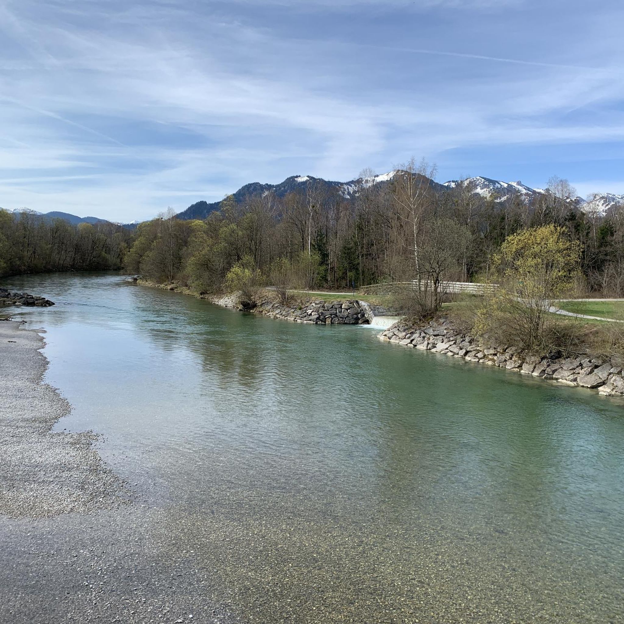
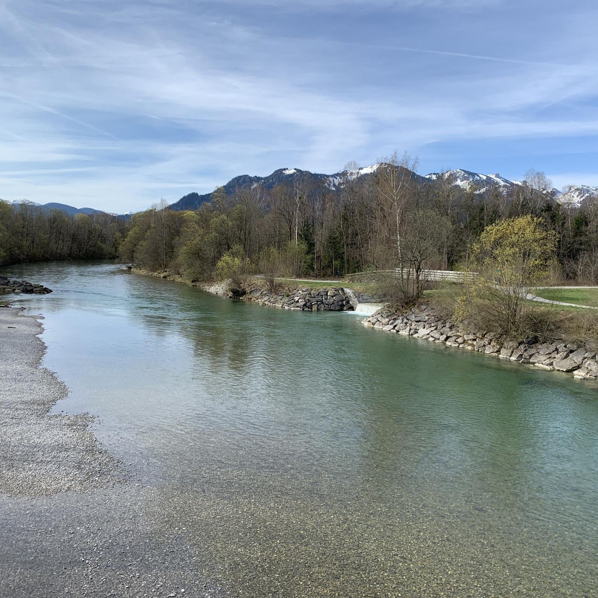
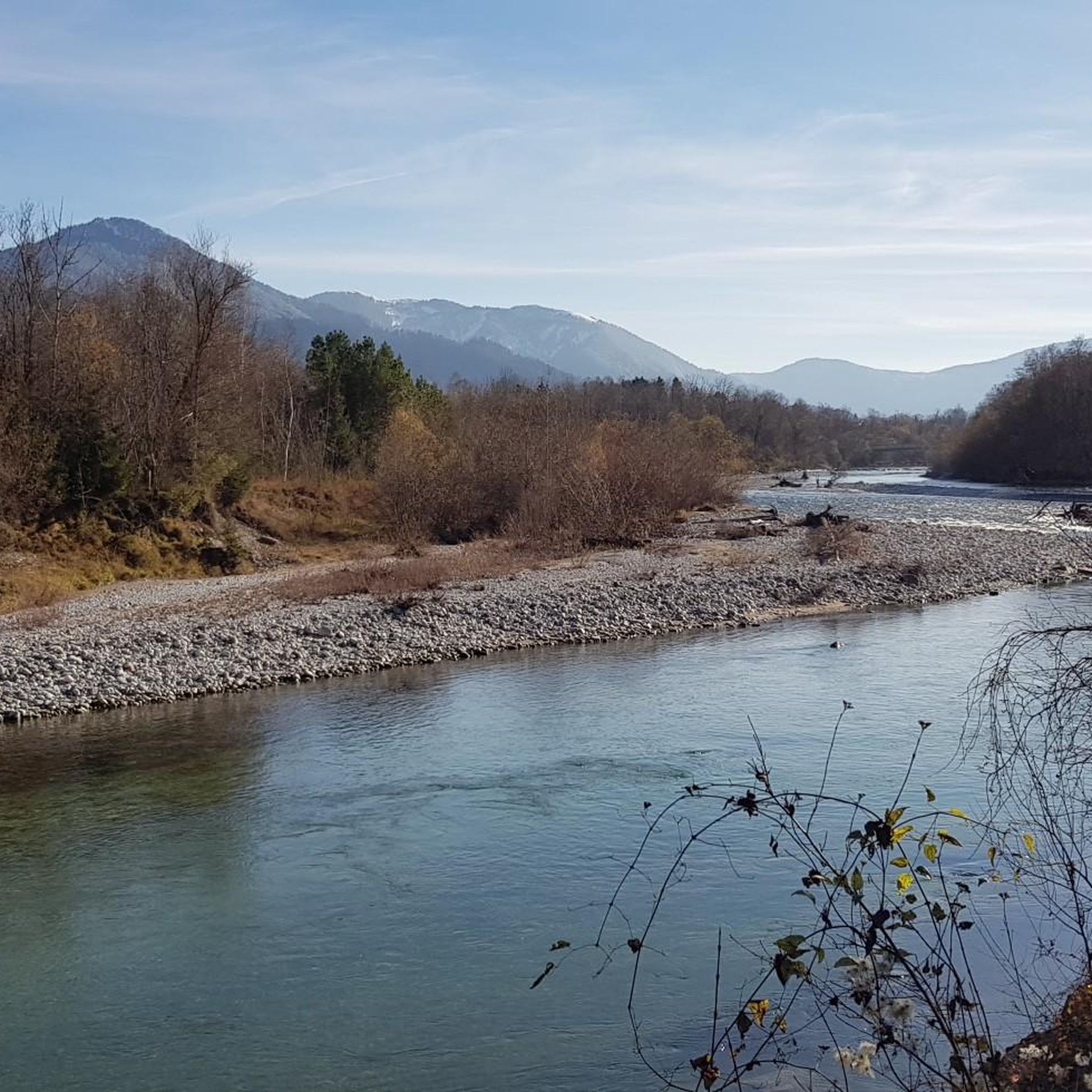
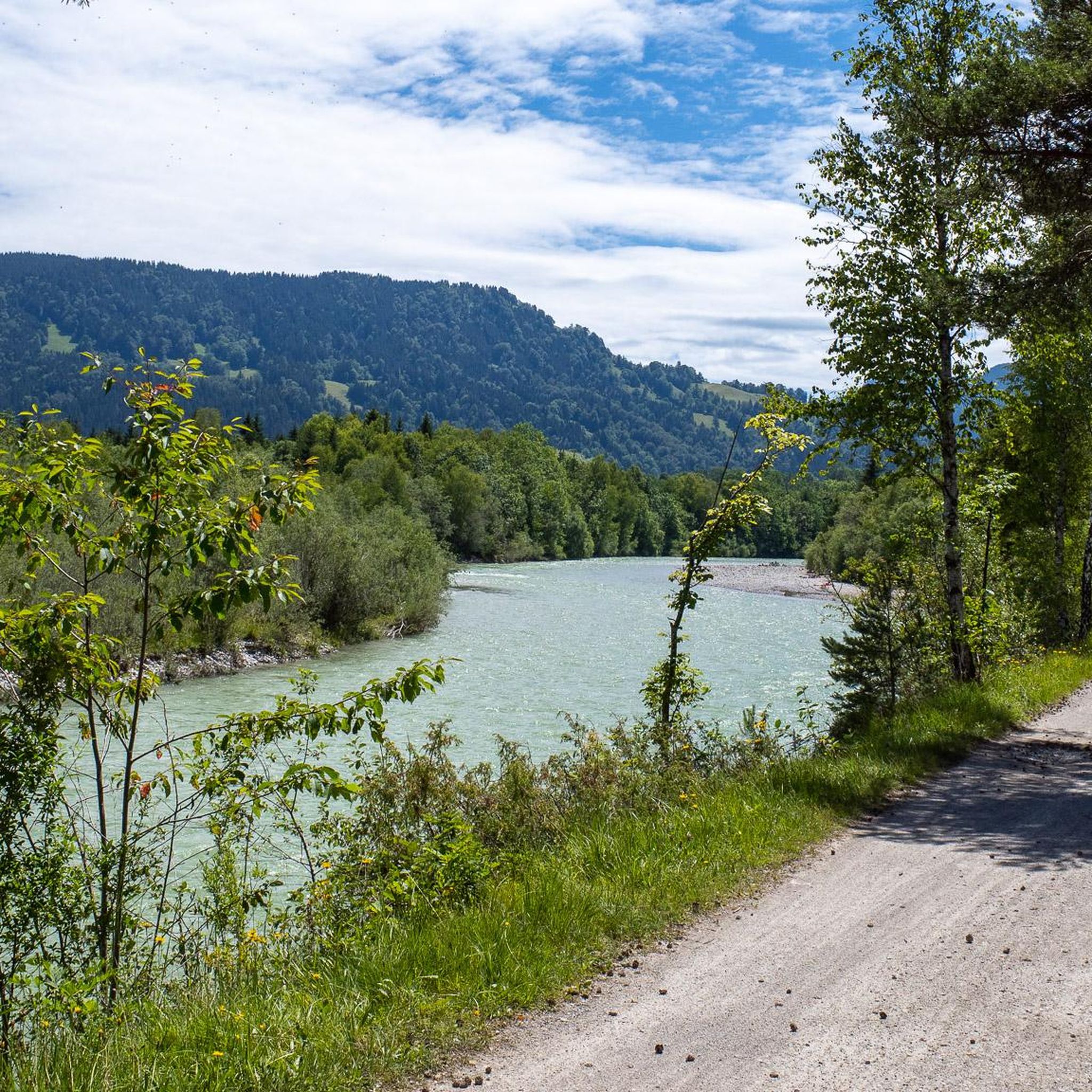
Beautiful view of the Isar River
0
0
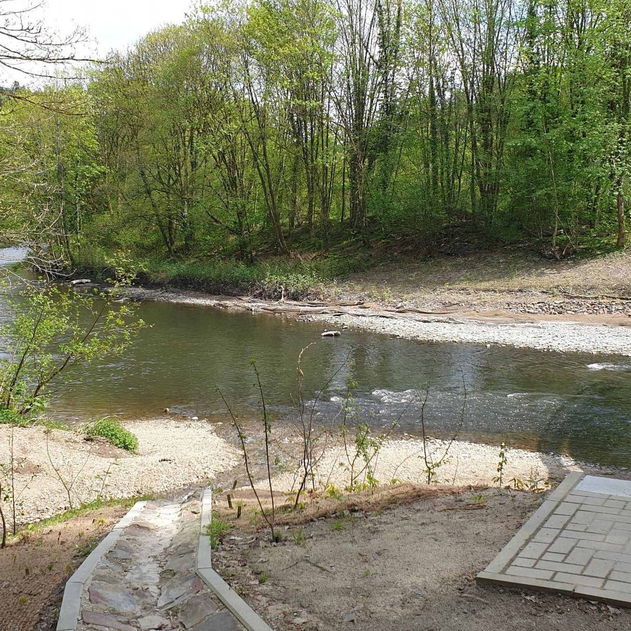
Great paths along the Isar River
0
0

One of the most beautiful lakes in Bavaria with sensational colors.
0
0

Lake Walchensee with a view of the pretty, protected island of Sassau. It is not permitted to enter the island, and visitors must always keep a distance of at least 50 meters from it.
5
0

This play of colors around the lake, the color intensity is constantly changing and you could spend the whole day taking pictures.
0
0
Frequently Asked Questions
How many mountain bike trails are available around Gaißach?
Gaißach offers a diverse network of over 25 mountain bike trails, catering to various skill levels. You'll find routes ranging from easy paths suitable for leisure rides to challenging routes for experienced riders.
What types of terrain can I expect on mountain bike trails in Gaißach?
The terrain around Gaißach is highly varied, situated at the edge of the Bavarian Prealps. You can expect challenging climbs in the Alpine foothills, scenic forest roads, and wide, gentle paths along the Isar River valley. The region's proximity to the Isar River and Lake Tegernsee means many routes offer a mix of mountainous and riverside cycling.
Are there any family-friendly mountain bike routes in Gaißach?
Yes, Gaißach offers several easy and moderate trails suitable for families. The Isar Cycle Path, for instance, provides a pleasant and relatively flat cycling experience along the river, perfect for a relaxed family outing. While specific family-designated routes aren't listed, the presence of 9 easy and 12 moderate routes suggests many suitable options.
Can I find circular mountain bike routes in Gaißach?
Many of the mountain bike trails around Gaißach are designed as loops, allowing you to start and end at the same point. For example, the View of Sylvenstein Reservoir – Isar Riverside Cycle Path loop from Gaißach is a popular moderate circular route that takes you through the scenic Isar valley.
What are some scenic viewpoints or natural features I can see while mountain biking in Gaißach?
Mountain biking in Gaißach offers numerous scenic opportunities. Routes often lead to breathtaking panoramas of the Bavarian Prealps, including views of Lake Tegernsee and the Isar River. You might also encounter the vast, pristine floodplains of the Isarwinkel and the unique nature reserve hedgerow landscape within the Isar valley. For specific views, consider routes that pass by the Sylvenstein Reservoir.
Are there any waterfalls or castles to explore near the mountain bike trails?
Yes, the region around Gaißach features both natural and historical attractions. You can find beautiful waterfalls such as the Hirschbach Waterfall and the Grasleiten Waterfall. For historical sights, there are several castles nearby, including Hohenburg Castle and Ringberg Castle, which can be interesting detours or destinations.
What is the best time of year for mountain biking in Gaißach?
The best time for mountain biking in Gaißach is generally from spring through autumn, when the weather is mild and trails are clear. The region's diverse landscapes, including moor landscapes, are particularly inviting for spring walks and rides. Always check local weather conditions before heading out, especially in the higher alpine foothills.
Are there challenging mountain bike routes for experienced riders?
Absolutely. Gaißach is situated in the Bavarian Prealps, offering direct access to mountainous terrain with challenging climbs. Routes like the Lehenbauernalm – View of the Benediktenwand loop from Obergries provide strenuous ascents and rewarding panoramic views. Another difficult option is the Tegernseer Hut – Isar Riverside Cycle Path loop from Gaißach, combining alpine terrain with riverside cycling.
What do other mountain bikers say about the trails in Gaißach?
The mountain bike trails around Gaißach are highly rated by the komoot community, with an average score of 4.5 stars from over 500 reviews. More than 3000 mountain bikers have explored the varied terrain, often praising the diverse landscapes, from challenging alpine sections to scenic riverside paths, and the breathtaking views of the surrounding Alps and lakes.
Can I bring my dog on the mountain bike trails in Gaißach?
While many outdoor areas in Bavaria are dog-friendly, it's always recommended to check specific trail regulations or local signage regarding dogs, especially in nature reserves or protected areas like the hedgerow landscape in the Isar valley. Generally, dogs are welcome on leashes on most public trails, but be mindful of wildlife and other trail users.
Are there options for parking near the mountain bike trails in Gaißach?
Yes, Gaißach and its surrounding areas typically offer various parking options, especially near popular trailheads and villages. Many routes start from accessible points where parking is available, making it convenient to begin your ride. Specific parking details might vary by individual route starting points.
How long do mountain bike trails around Gaißach typically take to complete?
The duration of mountain bike trails in Gaißach varies significantly based on distance, elevation, and difficulty. For example, a moderate route like the View of Sassau Island – View of Lake Walchensee loop from Obergries can take around 4 hours 20 minutes, while a more challenging one such as the Sigiriz Alpine Pasture – Schwaiger Alm loop from Gaißach might take over 3 hours 20 minutes. Easy routes can be much shorter.
Most popular routes around Gaißach
Most popular attractions around Gaißach

Get inspired with the komoot mobile app


Explore more
Browse the best MTB trails in other regions.
