The best walks and hikes around Tancos
4.9
(12)
47
hikers
3
hikes
Hiking around Tancos, Portugal, is characterized by its intimate connection to the Tagus River, offering diverse trails along its banks. The region features fertile lands, extensive cultivated fields, and a rich riparian ecosystem with varied flora and fauna. Hikers can experience panoramic views of the Tagus River and the Lezíria floodplain, enhanced by dedicated viewpoints and walkways. Natural features like the historic Fonte da Galiana spring also contribute to the area's landscape.
Best hiking trails around Tancos
- The most popular hiking route is Almourol Castle – Fonte de Pulcinis loop from Câmara Municipal de Vila Nova da Barquinha, a 9.3 miles (15.0 km) trail that takes 3 hours 56 minutes to complete. This moderate route offers views of the Tagus River and passes historical sites.
- Another top favourite among local hikers is Praia Fluvial de Constância loop from Constância, a moderate 5.9 miles (9.5 km) path. This trail provides riverside scenery and views of the surrounding natural landscape.
- Local hikers also love the Hiking loop from São Pedro de Tomar, a 5.6 miles (9.0 km) trail leading through cultivated fields and riparian areas, often completed in about 2 hours 30 minutes.
- Hiking around Tancos is defined by the Tagus River, panoramic viewpoints, and cultivated riverbanks. The network offers options for different ability levels, primarily featuring moderate trails.
- The routes in Tancos are highly rated by the komoot community with an average score of 4.8 stars from more than 10 reviews. More than 40 hikers have used komoot to explore Tancos's varied terrain.
Last updated: August 18, 2026
4.7
(11)
39
hikers
Moderate hike. Good fitness required. Easily-accessible paths. Suitable for all skill levels.
4
hikers
9.81km
02:47
210m
210m
Moderate hike. Good fitness required. Easily-accessible paths. Suitable for all skill levels.

Sign up for free
5.0
(1)
4
hikers
8.99km
02:30
160m
160m
Moderate hike. Good fitness required. Easily-accessible paths. Suitable for all skill levels.
Our route recommendations are based on thousands of hikes, rides, and runs completed by other people on komoot.
Start today with a free account
Your next adventure awaits.
Login or Signup
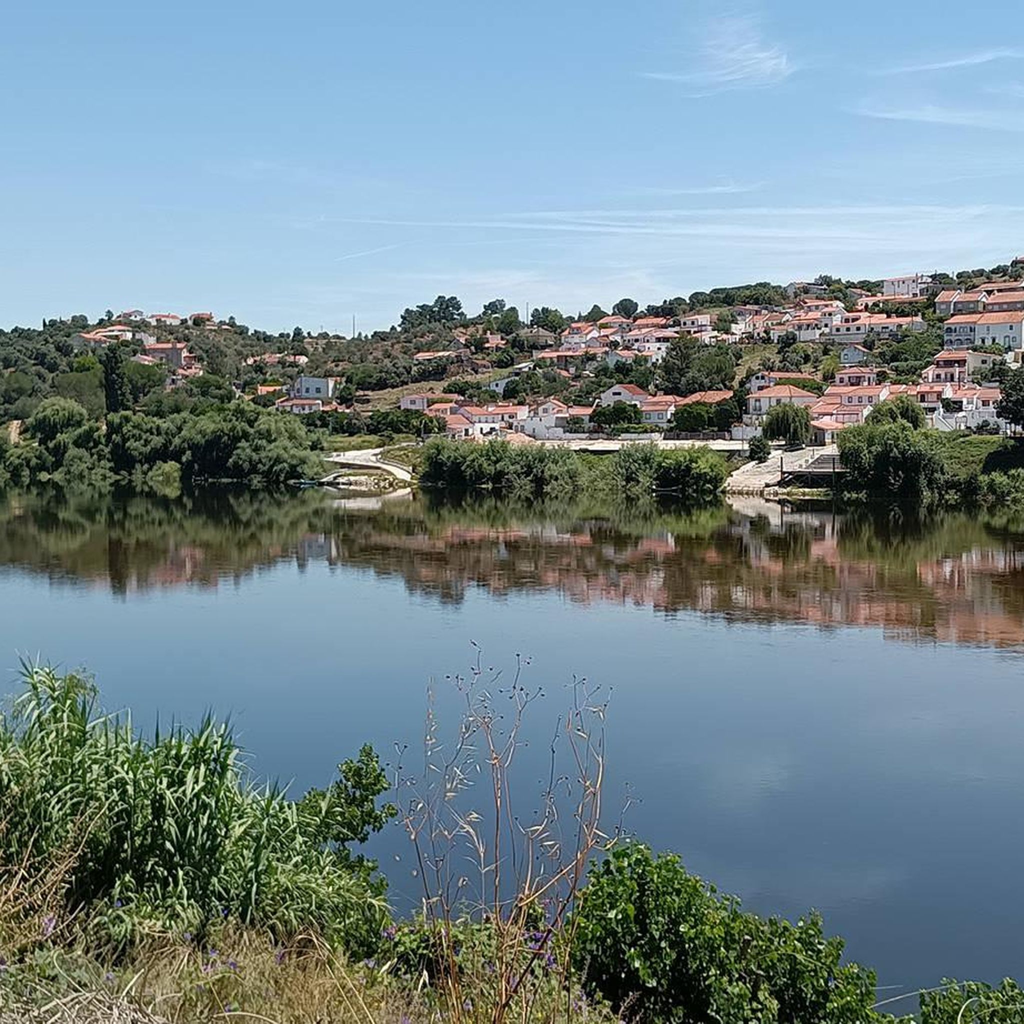
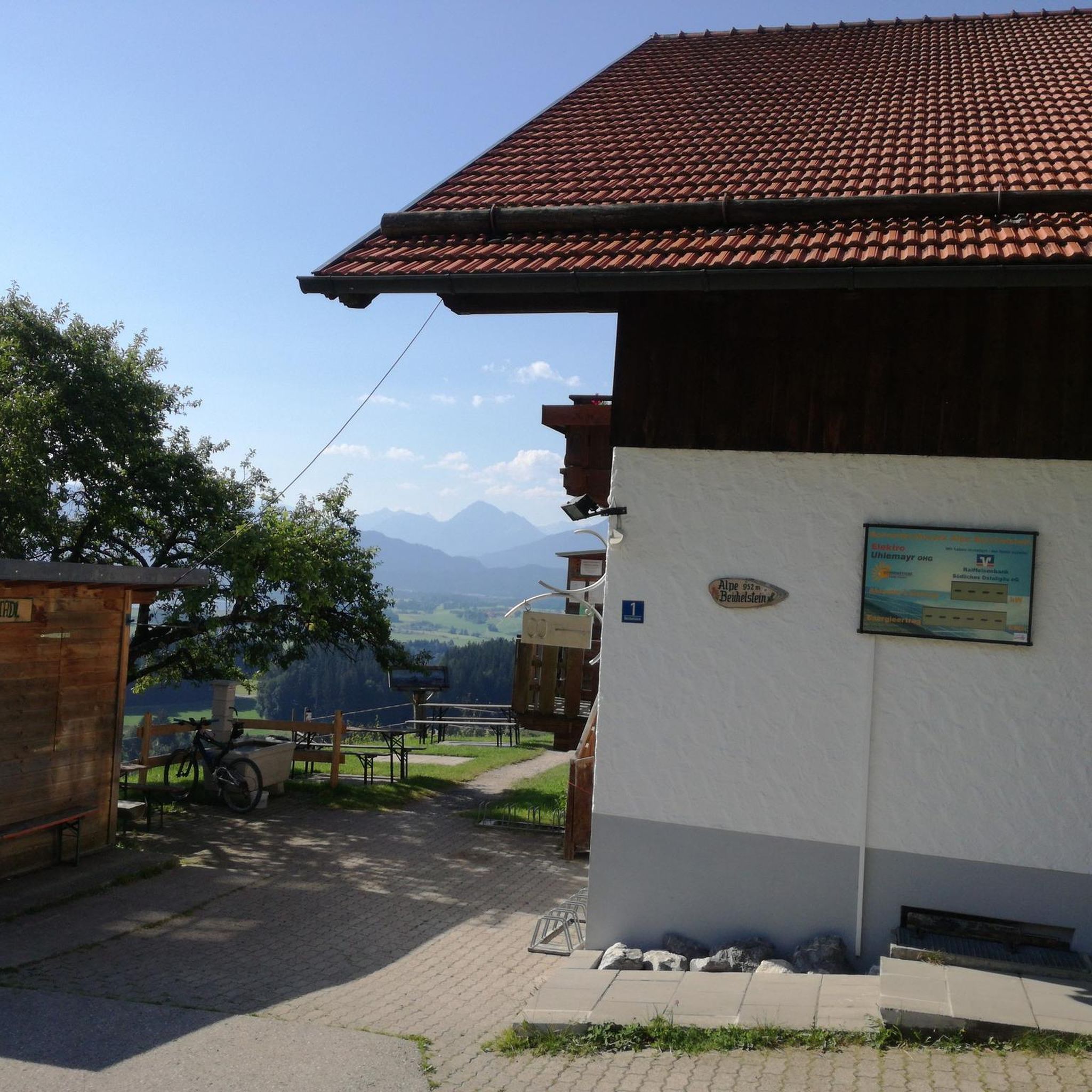
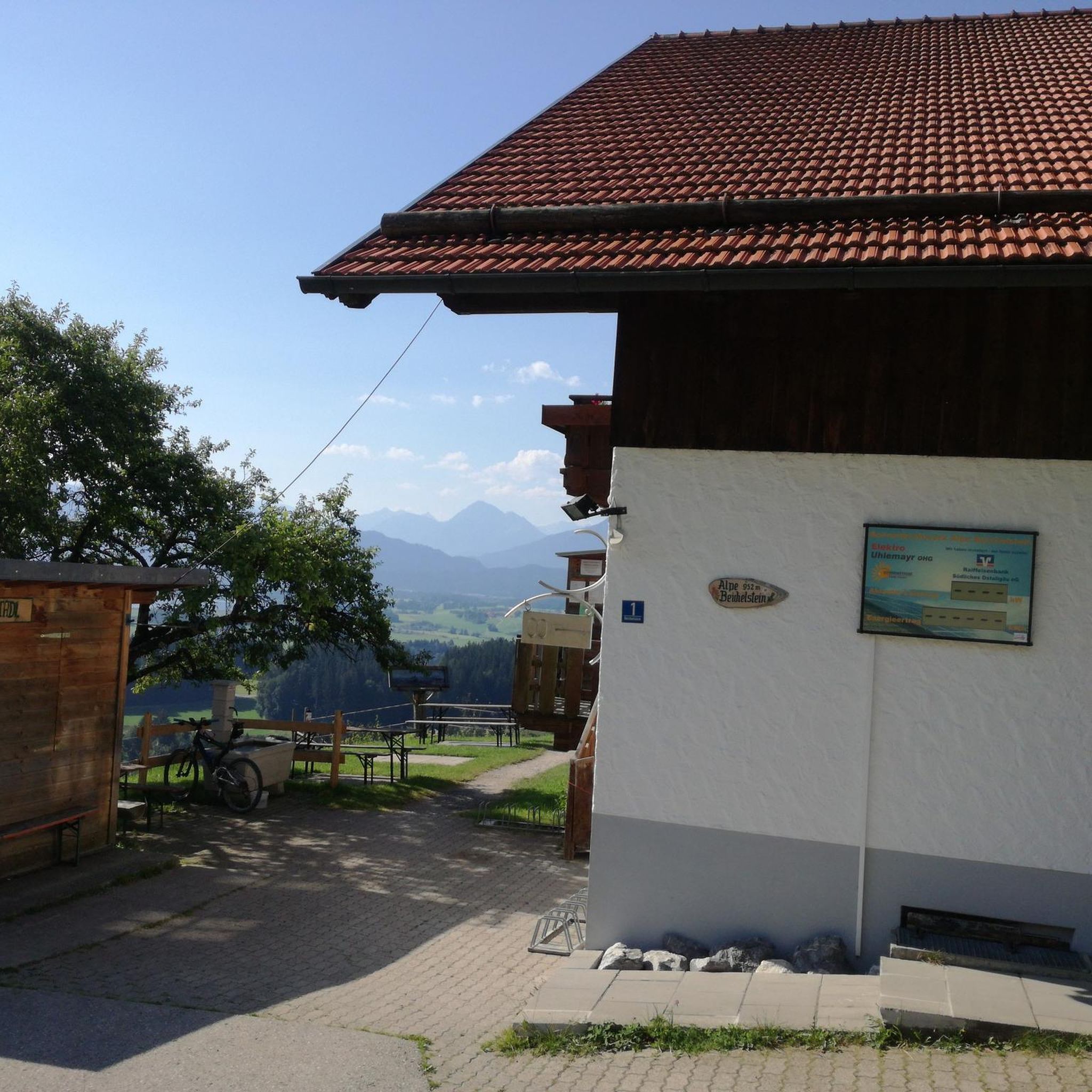

Tips from the Community

A small but excellent park about astronomy.
0
0

The water point is not good for drinking, only for cooling.
1
0

Constância, designated by the name of Punhete, is known for having been the place of residence of the poet Luís de Camões, who wrote some of his lyrical poems here, on the occasion of his exile in Ribatejo (Between 1546 or 1547). Constância river beach Located next to the confluence of the river Zêzere with the Tagus, it is an excellent place for bathing in the summer. It has a small beach, picnic area and a bar and park for motorhomes.
3
0
Frequently Asked Questions
What kind of terrain can I expect on hiking trails around Tancos?
Hiking around Tancos is defined by its intimate connection to the Tagus River. You can expect trails along riverbanks, often featuring fertile lands, cultivated fields, and a rich riparian ecosystem with diverse flora like willow forests and poplars. Many routes offer panoramic views of the Tagus River and the Lezíria floodplain, sometimes enhanced by dedicated walkways and viewpoints.
Are there any easy or beginner-friendly hiking trails in Tancos?
The trails around Tancos are generally considered moderate in difficulty. For example, the Hiking loop from São Pedro de Tomar is about 9 km long and takes around 2 hours 30 minutes, leading through cultivated fields and riparian areas. While not explicitly 'easy', these moderate routes are accessible for those with a reasonable fitness level.
What are some notable natural features or landmarks to see while hiking in Tancos?
The Tagus River itself is a prominent natural feature, offering continuous scenic views and a diverse riparian ecosystem. You can also visit the historic Fonte da Galiana, an 'almost centuries-old' spring recognized as a natural monument. The Tagus Panoramic Trail also features impressive viewpoints and structures like the Barca D'Amieira Trail's suspension bridge.
Are there circular hiking routes available in the Tancos area?
Yes, several circular routes are popular in the Tancos area. Examples include the Almourol Castle – Fonte de Pulcinis loop from Câmara Municipal de Vila Nova da Barquinha, which is about 15 km, and the Praia Fluvial de Constância loop from Constância, covering about 9.5 km. These loops allow you to start and end at the same point, making logistics easier.
What kind of wildlife can I expect to see along the Tagus River trails?
The riparian ecosystem along the Tagus River is quite diverse. Hikers may observe various flora, including willow forests and poplars, and fauna such as water lizards, frogs, otters, and a variety of birds including crows, herons, and storks. The river's dynamic nature, with reeds and planks in flood-prone areas, supports this rich biodiversity.
Are there any historical sites or cultural points of interest near the hiking trails?
Yes, hiking in the Tancos area offers glimpses into historical and cultural landmarks. Near Tancos, on the right bank of the Tagus, lies the Convent of N. Sr.ª do Loreto. The area also features the Cais d'el Rei (King's Pier). Further along the broader Tagus Valley, you might find the Chapel of the Lord of Good Death (Capela do Senhor da Boa Morte) and ancient necropolises, which can be part of longer viewpoint walks.
What do other hikers say about the trails in Tancos?
The routes in Tancos are highly rated by the komoot community, with an average score of 4.8 stars from more than 10 reviews. Hikers often praise the scenic riverside views, the blend of natural beauty and historical context, and the well-maintained paths that make exploring the Tagus River region enjoyable.
Is the Tagus Panoramic Trail suitable for mountain biking as well as hiking?
Yes, the Tagus Panoramic Trail, which is part of the larger GR12 / E7 European Route, is suitable for both hiking and mountain biking. It offers varied experiences, incorporating sections like the Almorol Trail and the Constância Trail, making it versatile for different outdoor activities.
Where can I find more detailed information about the Tagus Panoramic Trail?
For more detailed information and a map of the Tagus Panoramic Trail, you can consult the official guide provided by the local tourism board: Trilho Panorâmico do Tejo (PDF).
Are there any bridges or unique structures along the hiking routes?
Yes, some routes incorporate unique structures that enhance the hiking experience. For instance, the Barca D'Amieira Trail, a section of the Tagus Panoramic Trail, includes a walkway, a suspension bridge, and a dedicated viewpoint, providing stunning views of the Tagus River. You can also find the Ponte João Joaquim Isidro dos Reis and the Constância Iron Bridge in the vicinity.
How long do hikes in Tancos typically take?
The duration of hikes in Tancos varies depending on the route. For example, the Almourol Castle – Fonte de Pulcinis loop is approximately 15 km and takes about 3 hours 56 minutes. Shorter routes like the Hiking loop from São Pedro de Tomar, at 9 km, can be completed in around 2 hours 30 minutes.
Most popular routes around Tancos
Most popular attractions around Tancos

Get inspired with the komoot mobile app


Explore more
Browse the best Hikes in other regions.
