The 8 Most Amazing Peaks around Breisach am Rhein
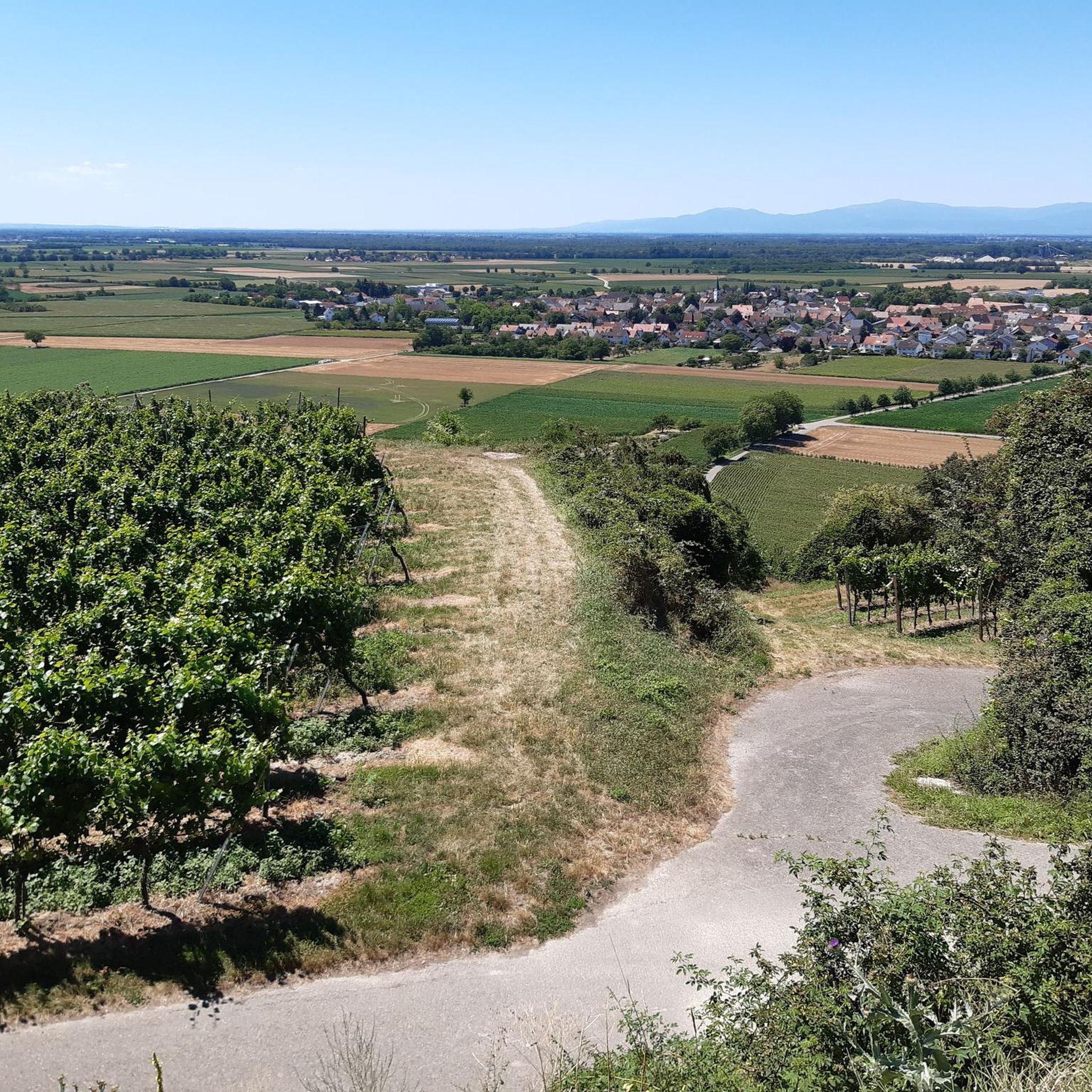
Best mountain peaks around Breisach am Rhein are found within the volcanic hills of the Kaiserstuhl region, situated on the Rhine River. This area offers diverse landscapes and elevated viewpoints rather than towering peaks. The highest point, the Totenkopf, provides several notable elevated areas for exploration. These locations offer panoramic views of the surrounding Upper Rhine region, including vineyards and distant mountain ranges.
Best mountain peaks around Breisach am Rhein
- The most popular mountain peaks is Neunlinden Tower, a viewpoint that stands on the Totenkopf summit. This 14-meter-high tower offers a 360-degree view of the Kaiserstuhl, Black Forest, Vosges mountains, and the Rhine plain.
- Another must-see spot is Mondhalde Pavilion and Viewpoint, a viewpoint with facilities. This elevation near Oberrotweil provides views of the Rhine valley and the Vosges mountains from its 354-meter vantage point.
- Visitors also love Schönberg summit, a summit located on the southern outskirts of Freiburg im Breisgau. This approximately 645-meter-high mountain offers views of Freiburg, the Black Forest, and parts of the Markgräflerland.
- Breisach am Rhein is known for its volcanic hills, elevated viewpoints, and historic summits. Visitors can explore a variety of elevated points offering scenic overlooks and opportunities for hiking.
- The mountain peaks around Breisach am Rhein are appreciated by the komoot community, with over 1600 upvotes and more than 1100 photos shared.
Last updated: October 17, 2026
Neunlinden Tower
Highlight • Viewpoint
Translated by Google •
Tip by

Eichelspitz Tower
Highlight • Viewpoint
Translated by Google •
Tip by

Sign up now to discover places like this
Get recommendations on the best single tracks, peaks, & plenty of other exciting outdoor places.
Mondhalde Pavilion and Viewpoint
Highlight • Viewpoint
Translated by Google •
Tip by

Schlossberg Pavilion and the Höhingen Castle Ruins
Highlight • Castle
Translated by Google •
Tip by

Old Town of Breisach am Rhein
Highlight • Historical Site
Translated by Google •
Tip by

Sign up for free to discover even more peaks around Breisach am Rhein.
Already have an account?
Start today with a free account
Your next adventure awaits.
Popular around Breisach am Rhein
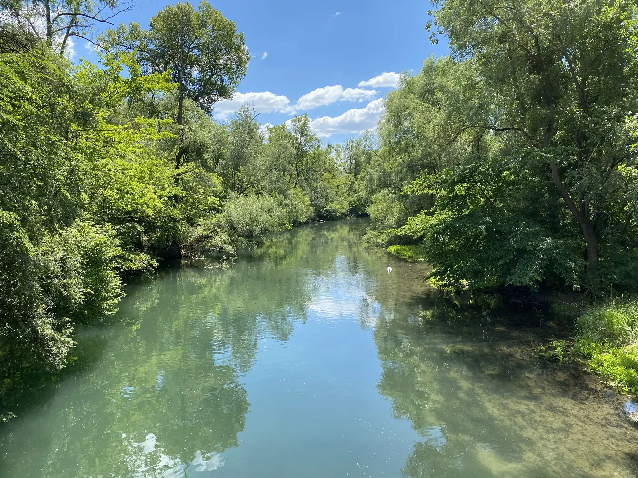
Rheinauenweg hiking path – Jungle tour for water rats

The Rhine Cycle Path — From the source to the North Sea
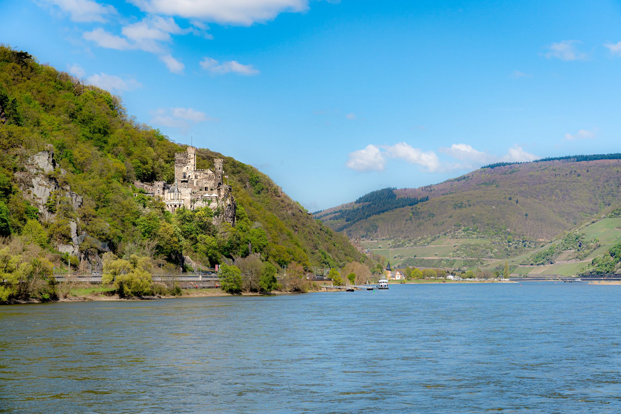
D-Route 8: Rhine Route
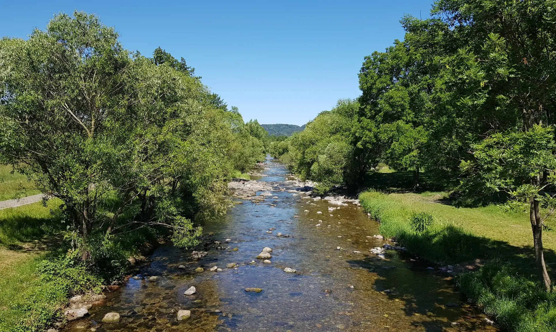
Erst biken, dann baden – Erfrischende Radtouren rund um Freiburg
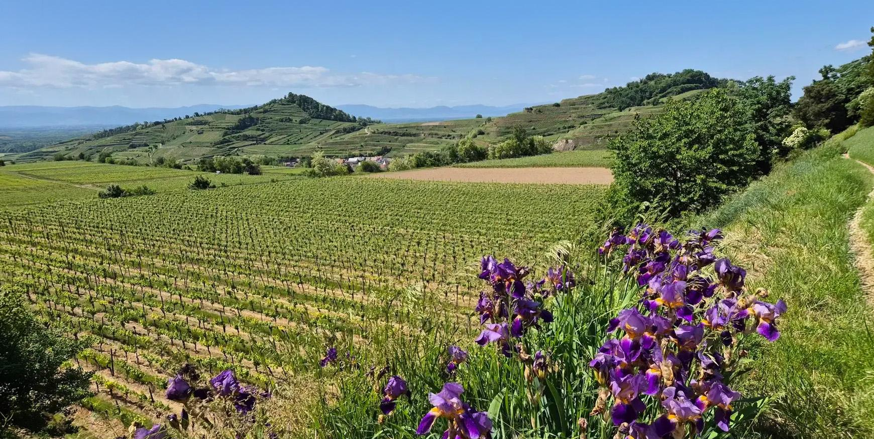
Aktiv in die längeren Tage – Frühlingsradeln rund um den Kaiserstuhl
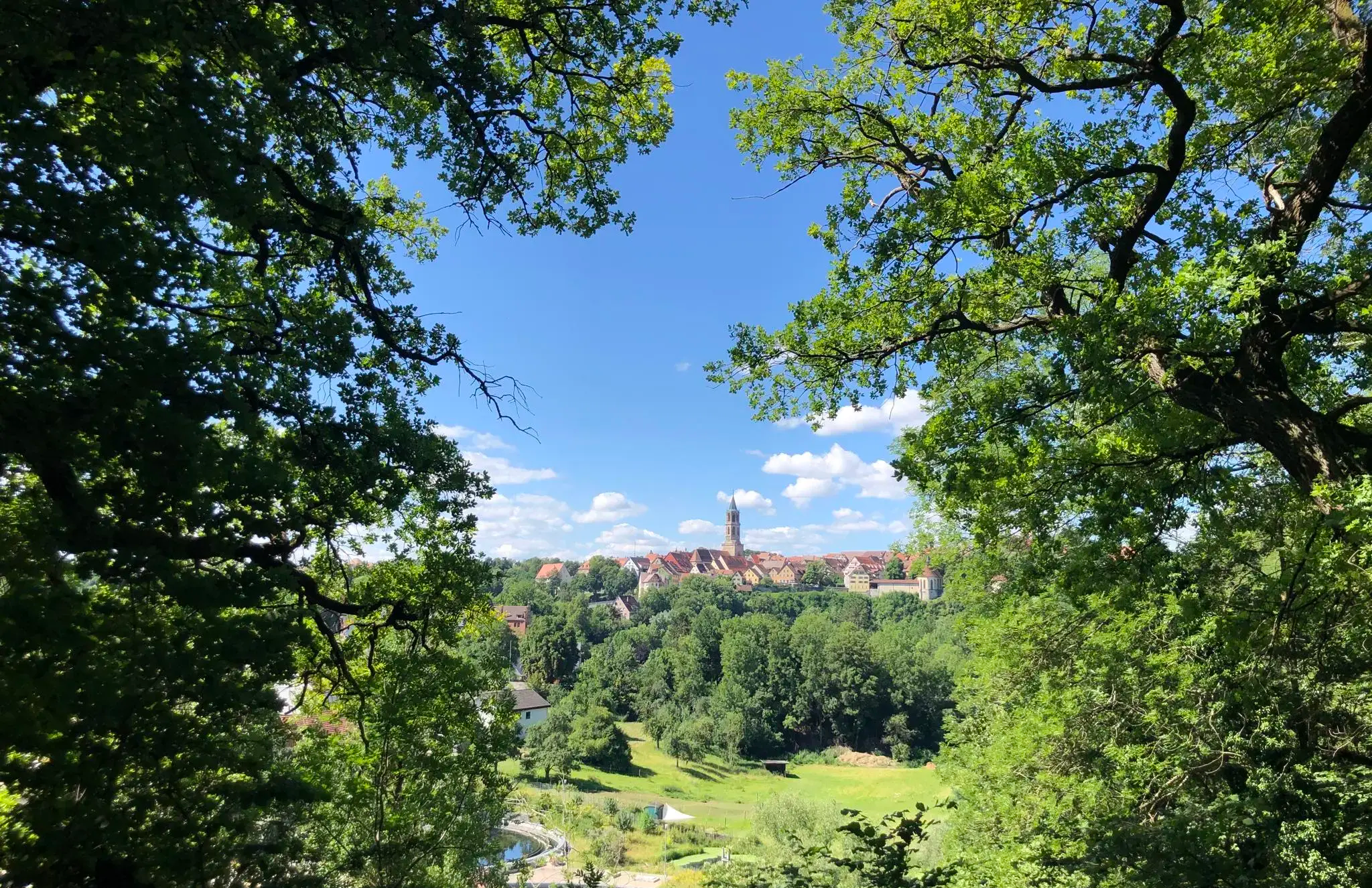
Vom Altstadtrand ins Grüne – Schwarzwälder Städte neu entdecken
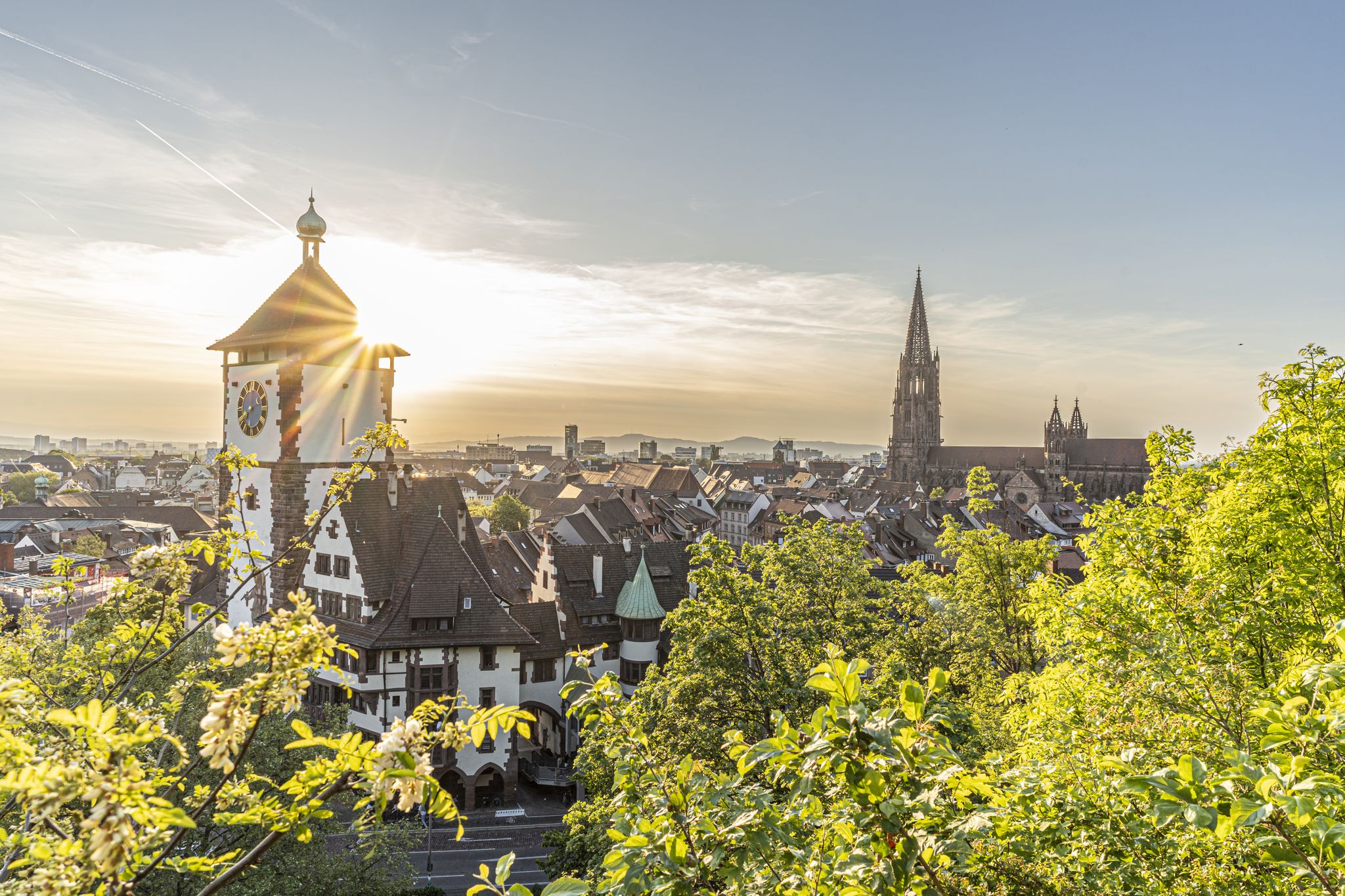
Schwarzwälder Stadtgeschichten – Bummeln, Staunen, Vespern
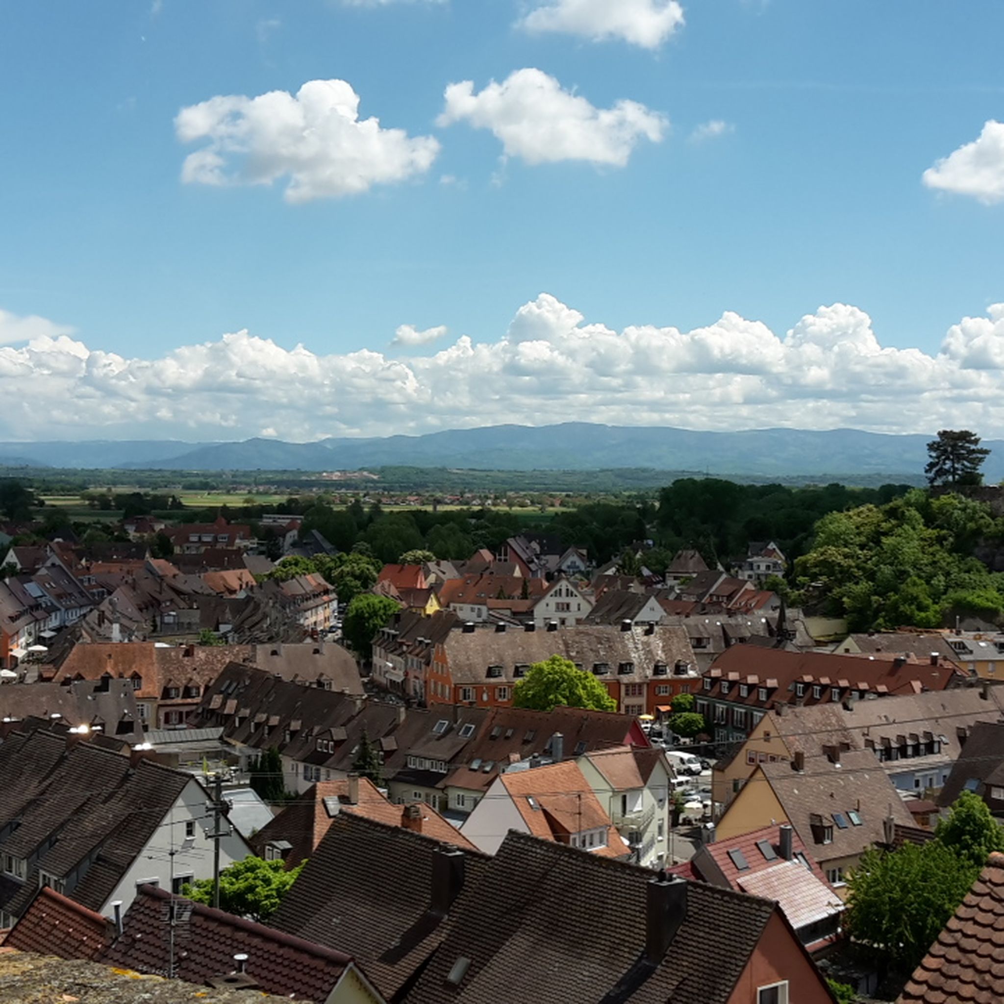
Cycling around Breisach am Rhein
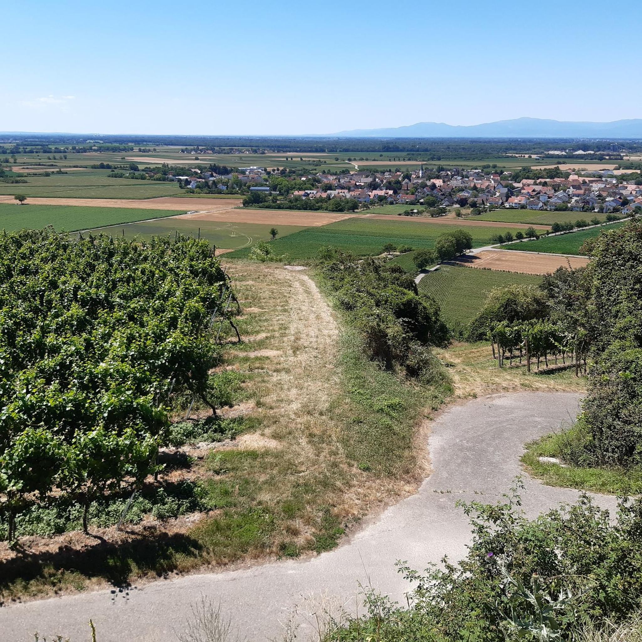
Hiking around Breisach am Rhein
Road Cycling Routes around Breisach am Rhein
Other adventures around Breisach am Rhein


Tips from the Community

You can see my bike tour pictures and recommendations on instagram #bikers.ben
0
0

Be careful, the pavement feels like soap when it rains. In the end I had to get off because it was too slippery.
1
0

Nice rest area, nice view. Well attended.
0
0

Insect hotel
0
1

The view from Münsterplatz is definitely worth a detour, especially at sunset in the summer months.
1
0


Pottery market Breisach
0
0

Castle type: hilltop castle, hilltop location Today: only remains of ruins Date of origin: before 1064, first documented mention in 1259 Not much is known for sure about the beginning of the castle complex on the Schlossberg. However, castles are said to have existed as early as 1064 when Achkarren was first mentioned in writing on the occasion of the transfer to the Ottmarsheim monastery by King Heinrich IV. These were then expanded several times in the following centuries. After the family castle of the Lords of Üsenberg, Üsenberg Castle on the Üsenberg near Breisach, was probably destroyed by the Breisach family in the 1240s, they are said to have made Höhingen Castle available to the Üsenbergers as a replacement. It was first explicitly mentioned in writing in 1259. Around 1353 the castle was briefly pledged to the Schnewlin im Hof. In 1392, Margrave Hesso von Hachberg bought Werner von Hornberg's share in Höhingen Castle, and he already owned the other part. In 1415 the castle, together with the Margraviate of Baden-Hachberg, came to Margrave Bernhard I of Baden, who bought it from Margrave Otto II of Hachberg, the last of this branch of Baden. Otto was allowed to use Höhingen Castle until the end of his life in 1418. ... After centuries of existence, the castle itself was burned down for the first time in May 1525 during the peasant uprising with the participation of Achkarr farmers. This made Höhingen Castle one of only two margravial castles destroyed by the peasants, although a number of them had been occupied by the peasants. Long-standing disputes between the village of Achkarren and the Margraves over the use of the forest are suspected to be the motive. The farmers later had to compensate Margrave Ernst I of Baden-Durlach for the damage. ... In 1620, Margrave Georg Friedrich von Baden-Durlach rebuilt the castle as a defensive structure and put it into a state of defense, since the events of the war in the Rhine Valley and the Breisach Fortress could be observed well from here. In a contemporary report from the mayor of Breisach to the imperial governor of the Austrian provinces in Waldshut, Höhingen Castle, often referred to as a castle, is described as follows: “Its position was excellent, as it stood in the middle of the mountain's crest on hard rock, which because of its height had difficult access, and could not be commanded from any of the surrounding places. The building was surrounded by strong masonry, on the one hand with a deep ditch, on the other hand it encountered an inaccessible praecipitium [= abyss], which is used from below for a stone pit. The castle had a good cistern.” In 1633 there was an attack from Breisach. The Imperial Catholic troops captured and sacked the castle currently held by the Swedes and supported by the Protestants of Ihring. According to records at the time, the spoils included around 15,000 liters of wine. Property of Ihringen citizens stored in the castle was also lost. There are even reports of the loss of 200 horses and 300 head of cattle, which allows conclusions to be drawn about the dimensions of the facility. After several subsequent disputes about the castle, it was finally set on fire by the now imperial garrison in 1638, when it could no longer be held militarily. (Excerpt from Wikipedia)
1
0
Frequently Asked Questions
What are some of the most popular elevated viewpoints around Breisach am Rhein?
The Kaiserstuhl region, near Breisach am Rhein, offers several popular elevated viewpoints. Among them, the Neunlinden Tower on the Totenkopf summit is highly regarded for its 360-degree panoramic views. Other favorites include the Mondhalde Pavilion and Viewpoint, offering scenic vistas of the Rhine valley, and the Schönberg summit, which provides views of Freiburg and the Black Forest.
What kind of views can I expect from the elevated points in the Kaiserstuhl region?
From these elevated points, you can expect expansive views that showcase the diverse landscape of the Upper Rhine region. This includes vineyards, the Rhine river, the Black Forest to the east, and the Vosges mountains in France to the west. The Neunlinden Tower, for instance, offers a magnificent 360-degree panorama of the Kaiserstuhl, Black Forest, Vosges, and the Rhine plain.
Are there family-friendly elevated points or trails in the Kaiserstuhl region?
Yes, several elevated points and their surrounding trails are suitable for families. The Schönberg summit is categorized as family-friendly. Generally, the volcanic hills of the Kaiserstuhl offer diverse landscapes with varying difficulty levels, making it possible to find suitable routes for different family members.
How can I reach the Totenkopf and Neunlinden Tower by public transport?
While direct public transport to the very summit of Totenkopf might be limited, you can typically reach nearby villages in the Kaiserstuhl region by bus or train. From there, well-marked hiking trails lead up to the Totenkopf and the Neunlinden Tower. It's advisable to check local bus schedules for connections to towns like Ihringen or Vogtsburg, which serve as good starting points for hikes.
What outdoor activities can I do near the elevated points around Breisach am Rhein?
The area around Breisach am Rhein is excellent for various outdoor activities. You can enjoy hiking on numerous trails, including easy to moderate routes like the "Münsterberg-Tour" or the "Rheinauen Nature Reserve – Europa Pond loop." For cyclists, there are options for gravel biking and mountain biking, with routes like "View of Breisach Minster – Texas Pass (Kaiserstuhl) loop" or "Rhine Cycle Path – Burkheimer Gravel Lake loop." You can find more details on these activities in the Hiking around Breisach am Rhein, Gravel biking around Breisach am Rhein, and MTB Trails around Breisach am Rhein guides.
Are there any historical sites among the elevated points near Breisach am Rhein?
Yes, the region boasts historical significance. The Schlossberg Pavilion and the Höhingen Castle Ruins offer a glimpse into the past, with remnants of a castle first mentioned in 1259. In Breisach itself, the Historic Münsterberg (Cathedral Hill), home to St. Stephen's Cathedral and the Tulla Tower, provides both historical context and panoramic views over the Rhine plain.
What is the highest point in the Kaiserstuhl region?
The highest point in the Kaiserstuhl region is the Totenkopf, with an elevation of 556.6 meters (1,826 feet). On its summit stands the 14-meter-high Neunlinden Tower, offering extensive views.
What makes the Eichelspitz Tower unique?
The Eichelspitz Tower is unique for its construction and community involvement. It features 140 steps leading up to its 28-meter-high viewing platform, and each step has been sold for a good cause, bearing a plaque with the sponsor's name. From the top, you get magnificent views of the surrounding Kaiserstuhl area and parts of the Black Forest.
When is the best time to visit the elevated viewpoints around Breisach am Rhein?
The elevated viewpoints around Breisach am Rhein are beautiful year-round, but the best time to visit for hiking and clear views is typically during spring, summer, and early autumn. During these seasons, the weather is generally mild, and the vineyards are lush. Winter offers a different charm, with potential for crisp, clear days, but some trails might be slippery.
Are there cafes or restaurants near the elevated viewpoints in the Kaiserstuhl region?
Yes, you can find cafes and restaurants in the villages surrounding the Kaiserstuhl hills. Many hiking routes pass through or near these villages, offering opportunities to stop for refreshments. Some viewpoints, like the Mondhalde Pavilion and Viewpoint, even offer covered resting places, though not full-service cafes directly at the summit.
Can I bring my dog on trails around the Kaiserstuhl region?
Generally, dogs are welcome on hiking trails in the Kaiserstuhl region. However, it's always recommended to keep them on a leash, especially in nature reserves, near vineyards, or in areas with wildlife, to ensure their safety and respect for other visitors and the environment. Specific leash laws may apply in certain protected areas.
What is the terrain like for hiking around the Totenkopf and Eichelspitz Tower?
The terrain around the Totenkopf and Eichelspitz Tower in the Kaiserstuhl region is characterized by volcanic hills. Trails often wind through vineyards, forests, and open landscapes. While not alpine, some paths can be moderately steep, especially when ascending to the viewpoints. The surfaces vary from paved paths to natural dirt trails, sometimes with loose gravel.
Are there parking facilities available at these viewpoints?
Parking facilities are generally available near the starting points of trails leading to these viewpoints. For instance, there are parking options close to the Totenkopf, Eichelspitz Tower, and Schönberg summit. It's advisable to check local signage or online maps for specific parking locations before your visit.
Most popular routes around Breisach am Rhein
Most popular attractions around Breisach am Rhein

Get inspired with the komoot mobile app


Explore more
See even more amazing summits around Breisach am Rhein with these guides:
