The best walks and hikes around Barbeita
4.3
(134)
549
hikers
32
hikes
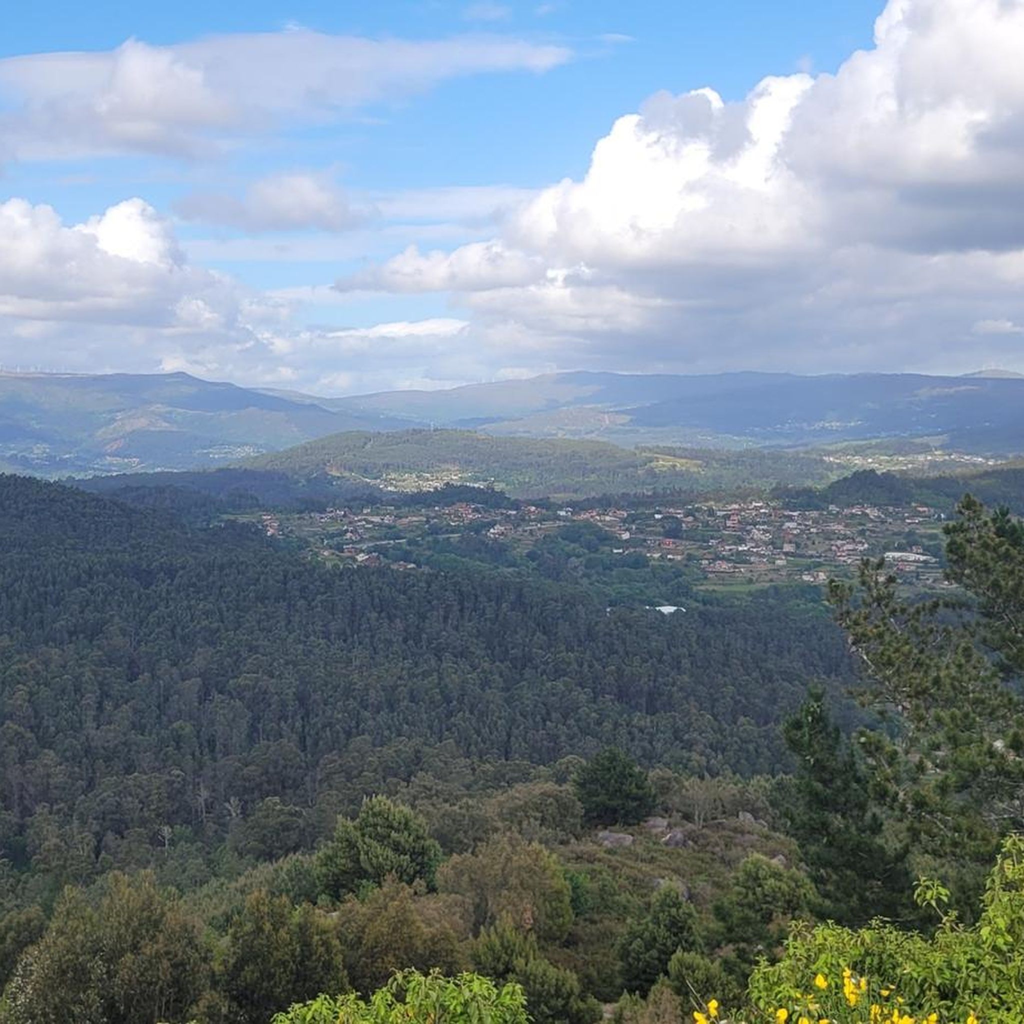
Hiking around Barbeita, Portugal, offers a variety of routes through its rural landscapes. The region is characterized by rolling hills, river valleys, and agricultural areas, providing diverse settings for outdoor exploration. Trails often traverse through woodlands and open fields, connecting small villages and natural viewpoints. The terrain is generally accessible, with options ranging from gentle paths to more challenging ascents.
Best hiking trails around Barbeita
- The most popular hiking route is Hiking loop from Sistelo, an 8.8 miles (14.2…
Last updated: July 4, 2026
5.0
(2)
14
hikers
14.2km
04:28
570m
570m
Moderate hike. Good fitness required. Easily-accessible paths. Suitable for all skill levels.
5.0
(3)
18
hikers
Easy hike. Great for any fitness level. Easily-accessible paths. Suitable for all skill levels.

Sign up for free
5.0
(2)
13
hikers
13.5km
04:16
560m
550m
Moderate hike. Good fitness required. Easily-accessible paths. Suitable for all skill levels.
4.5
(8)
16
hikers
Moderate hike. Good fitness required. Easily-accessible paths. Suitable for all skill levels.
4.3
(4)
12
hikers
12.4km
03:16
110m
110m
Moderate hike. Good fitness required. Easily-accessible paths. Suitable for all skill levels.
Get access to more routes and recommendations from other explorers.
Sign up for free
Already have an account?
Our route recommendations are based on thousands of hikes, rides, and runs completed by other people on komoot.
Start today with a free account
Your next adventure awaits.
Login or Signup
Popular around Barbeita
Tips from the Community

Huge park on the Miño, with a playground, pond, botanical garden, and much more
1
0

The original fortress was built almost a thousand years ago, back in the 10th or perhaps the 11th. The original wall that surrounds the castle dates from the 12th century and its main purpose was to defend the town from the constant attacks of the then Lusitanians (An Indo-European people living in the west of the Iberian Peninsula prior to its conquest by the Roman Republic and the subsequent incorporation of the territory into the Roman province of Lusitania.). In the 17th century, in the conflict of the Portuguese war of independence, it was completely renovated giving it its current appearance, although many defensive structures have disappeared over time. The plan of the fortress is rectangular and has no more and no less than 9,700 m2. Very few years ago, the only way to cross the river and go to the neighboring country was by using the ferry that joined the two banks aided by a large metallic cable that made sure that the barge was not dragged by the waters of the river. The docks and the old border customs are still preserved. A Good Reference: https://www.galiciamaxica.eu/galicia/pontevedra/comarca-do-condado/salvaterra-do-mino/fortaleza-de-salvaterra/
1
0

Hike as, moderate, indicated, but steep ascent (shady) on forest roads and descent on paths with many large round stones, which were partially overrun with water (spring). Not easy to go.
0
0
Frequently Asked Questions
How many hiking trails are available around Barbeita?
There are over 30 hiking routes around Barbeita listed on komoot, offering a wide range of options for different preferences and skill levels. These trails explore the region's rural landscapes, river valleys, and agricultural areas.
Are there easy hiking trails suitable for families in Barbeita?
Yes, Barbeita offers several easy trails perfect for families. For instance, the Parque da Canuda Playground – Lovers' Viewpoint loop from Monção is an easy 6.0 km path featuring recreational areas and scenic overlooks, ideal for a relaxed outing.
What is the typical length and duration of hikes in Barbeita?
Hikes in Barbeita vary in length and duration. You can find shorter, easy paths like the 6.0 km Parque da Canuda Playground – Lovers' Viewpoint loop from Monção, which takes about 1 hour 35 minutes. Longer, moderate trails, such as the 14.2 km Hiking loop from Sistelo, can take around 4 hours 25 minutes to complete.
Are there any circular hiking routes in Barbeita?
Many of the trails in Barbeita are circular, allowing you to start and end at the same point. Examples include the popular Hiking loop from Sistelo and the Hiking loop from Tangil, both offering diverse rural terrain.
What kind of scenery can I expect on the trails around Barbeita?
The trails around Barbeita showcase diverse rural scenery, including rolling hills, river valleys, and agricultural fields. You'll often pass through woodlands and open areas, connecting small villages and offering natural viewpoints. The region is also known for its terraced landscapes, particularly visible on routes like the Hiking loop from Sistelo.
What are some interesting landmarks or attractions to see while hiking in Barbeita?
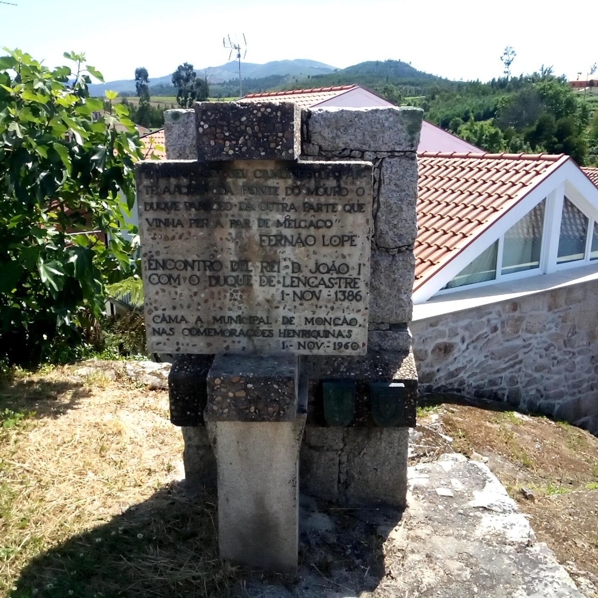
While hiking in Barbeita, you can encounter various interesting landmarks. Highlights include the historic Ponte da Barbeita, the Lapela Tower, and the impressive Salvaterra de Miño Fortress. You can also explore natural features like the Terraced Fields of the Vez Valley.
What do other hikers say about the trails in Barbeita?
The komoot community highly rates the trails in Barbeita, with an average score of over 4 stars from more than 100 reviews. Hikers often praise the varied terrain, the quiet rural paths, and the well-maintained routes that connect charming villages and offer scenic views.
Are there any moderate difficulty hikes that offer a good challenge?
Yes, Barbeita has several moderate trails that provide a good challenge. The Caldas Recreational Area – Bridge Over the Ameal River loop from Salvaterra de Miño is a 12.8 km moderate route with some elevation gain, offering a rewarding experience through varied landscapes.
Can I find longer distance hikes in the Barbeita area?
For those seeking longer distances, Barbeita offers several routes over 12 km. The Castelo de Salvaterra – Old Monção Ferry Ramp loop from Salvaterra de Miño is a moderate 12.3 km trail that allows for an extended exploration of the region's historical and natural points of interest.
What is the best time of year to go hiking in Barbeita?
The best time to hike in Barbeita is generally during the spring (April to June) and autumn (September to October) when the weather is mild and pleasant. These seasons offer comfortable temperatures for walking and showcase the region's natural beauty, from blooming flora to vibrant autumn colors.
Are the trails in Barbeita suitable for winter hiking?
Winter hiking in Barbeita is possible, as the region generally experiences mild winters compared to more mountainous areas. However, some paths might be muddy or slippery after rain. It's always advisable to check local weather conditions and trail reports before heading out and to wear appropriate waterproof gear.
Are there cafes or places to eat near the hiking trails in Barbeita?
While specific cafes directly on every trail are not guaranteed, many routes in Barbeita connect small villages. These villages often have local establishments where you can find refreshments or a meal. Planning your route to pass through a village can provide opportunities for a break and local cuisine.
Most popular routes around Barbeita
Most popular attractions around Barbeita

Get inspired with the komoot mobile app


Explore more
Browse the best Hikes in other regions.
