The best walks and hikes around Longos Vales
4.4
(144)
619
hikers
34
hikes
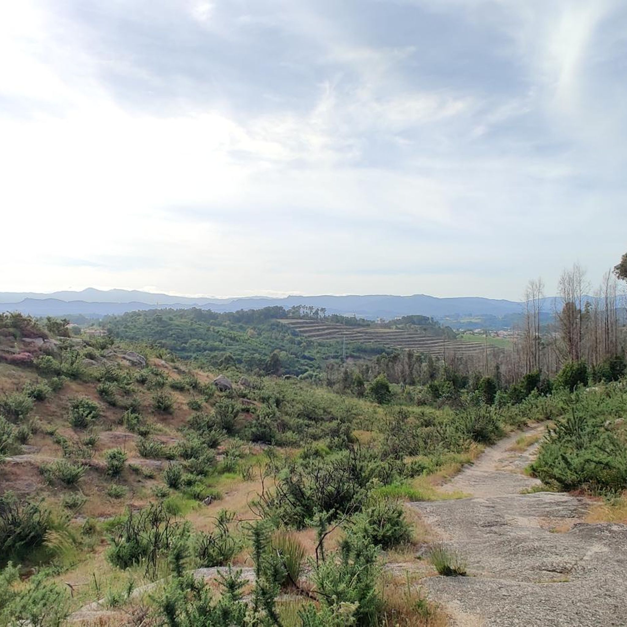
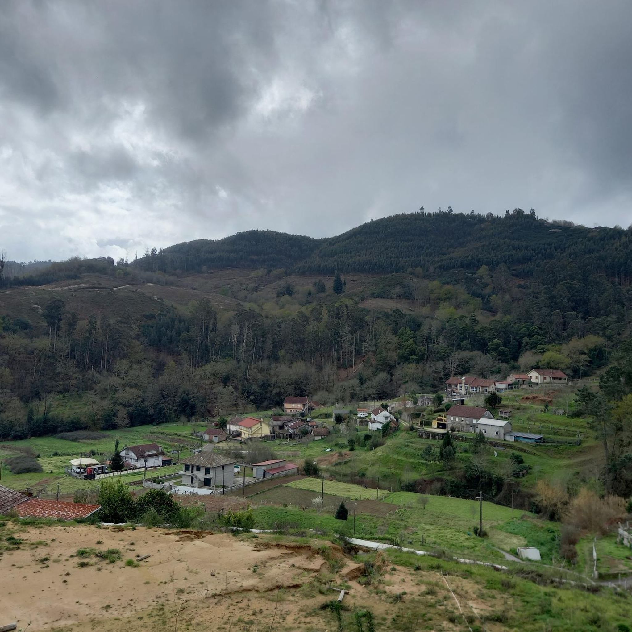
Hiking around Longos Vales, Portugal, is characterized by verdant valleys, expansive vineyards, and the Minho River, which forms a natural border with Spain. The region features varied terrain, including paths through ancient villages and farms. Prominent elevations like Monte do Crasto offer viewpoints over the surrounding countryside. This landscape provides a setting for outdoor activities, particularly hiking.
Best hiking trails around Longos Vales
- The most popular hiking route is Parque da Canuda Playground – Lovers' Viewpoint loop from Monção,…
Last updated: July 4, 2026
5.0
(3)
18
hikers
Easy hike. Great for any fitness level. Easily-accessible paths. Suitable for all skill levels.
5.0
(2)
13
hikers
13.5km
04:16
560m
550m
Moderate hike. Good fitness required. Easily-accessible paths. Suitable for all skill levels.

Sign up for free
4.5
(8)
16
hikers
Moderate hike. Good fitness required. Easily-accessible paths. Suitable for all skill levels.
4.3
(4)
12
hikers
12.4km
03:16
110m
110m
Moderate hike. Good fitness required. Easily-accessible paths. Suitable for all skill levels.
5.0
(1)
12
hikers
5.71km
01:30
50m
50m
Easy hike. Great for any fitness level. Easily-accessible paths. Suitable for all skill levels.
Get access to more routes and recommendations from other explorers.
Sign up for free
Already have an account?
Our route recommendations are based on thousands of hikes, rides, and runs completed by other people on komoot.
Start today with a free account
Your next adventure awaits.
Login or Signup
Popular around Longos Vales
Tips from the Community

It is part of the path that starts in Monçao and goes towards Melgaço; nearby there is a parking and recreation area and at least one cafeteria.
0
0

The wooden walkways stretch along the city walls of Monção and the banks of the Minho River to the stunning Parque das Caldas, always with views of neighboring Galicia. Inaugurated in 2021, they are a great way to reach Fortaleza de Monção.
1
0
The Danaide Fountain is the most important in Monção and takes its name from the statue that crowns it, at whose base the name "Danaide" can be read. In her right hand, the woman carries a sieve. The original fountain was built in 1837, a little further towards the square. Water flowed from the column, which was collected by the population and also fed a pond where clothes could be washed and livestock watered. In 1869, the column was renovated and engraved with the coat of arms of the city of Monção. In the 1940s, the fountain was remodeled, making it less useful and serving only as a decorative object. The column was placed in its current location.
0
0
The town square and the Visitors' Hall owe their name to the local heroine who saved the city from the Castilian invasion in the 14th century through a courageous and cunning act. Her courage is immortalized in a coat of arms and a monument. Lined with trees and paved with Portuguese cobblestones, it is a popular meeting place for the city's social and cultural activities.
0
0

Huge park on the Miño, with a playground, pond, botanical garden, and much more
1
0

Wooden walkway that does not appear on the map.
1
0

The original fortress was built almost a thousand years ago, back in the 10th or perhaps the 11th. The original wall that surrounds the castle dates from the 12th century and its main purpose was to defend the town from the constant attacks of the then Lusitanians (An Indo-European people living in the west of the Iberian Peninsula prior to its conquest by the Roman Republic and the subsequent incorporation of the territory into the Roman province of Lusitania.). In the 17th century, in the conflict of the Portuguese war of independence, it was completely renovated giving it its current appearance, although many defensive structures have disappeared over time. The plan of the fortress is rectangular and has no more and no less than 9,700 m2. Very few years ago, the only way to cross the river and go to the neighboring country was by using the ferry that joined the two banks aided by a large metallic cable that made sure that the barge was not dragged by the waters of the river. The docks and the old border customs are still preserved. A Good Reference: https://www.galiciamaxica.eu/galicia/pontevedra/comarca-do-condado/salvaterra-do-mino/fortaleza-de-salvaterra/
1
0
Frequently Asked Questions
How many hiking trails are available in Longos Vales?
Longos Vales offers a diverse network of over 35 hiking trails. These routes cater to various skill levels, including easy, moderate, and difficult options, allowing hikers to explore the region's verdant valleys, vineyards, and the Minho River.
What kind of landscapes can I expect to see while hiking in Longos Vales?
Hiking in Longos Vales will immerse you in picturesque landscapes characterized by lush, green valleys and expansive vineyards. The tranquil Minho River, which borders Spain, is a prominent feature, offering peaceful riverside vistas. You can also expect to encounter ancient villages and farms, providing a glimpse into local life and history, and potentially reach viewpoints like Monte do Crasto for panoramic views.
Are there any circular hiking routes in Longos Vales?
Yes, Longos Vales features several circular hiking routes. For example, the Hiking loop from Tangil is a moderate 8.4-mile (13.5 km) path that takes you through green valleys and past vineyards. Another option is the Caldas Recreational Area – Bridge Over the Ameal River loop from Salvaterra de Miño, an 8.0-mile (12.9 km) trail along riverside areas.
What do other hikers say about the trails in Longos Vales?
The hiking trails in Longos Vales are highly regarded by the komoot community, holding an average rating of 4.3 stars from over 130 reviews. More than 550 hikers have used komoot to explore the varied terrain, often praising the scenic beauty of the valleys, vineyards, and the Minho River.
Are there family-friendly hiking options in Longos Vales?
Yes, there are several easy hiking options suitable for families. An example is the Parque da Canuda Playground – Lovers' Viewpoint loop from Monção, an easy 3.7-mile (6.0 km) trail offering views from the Lovers' Viewpoint. These routes are generally shorter with less elevation gain, making them enjoyable for all ages.
Can I bring my dog on the hiking trails in Longos Vales?
While many trails in natural areas are dog-friendly, it's always advisable to keep your dog on a leash, especially when passing through agricultural areas, near livestock, or in populated villages. Please ensure you clean up after your pet to maintain the natural beauty of the region for everyone.
Are there any viewpoints or scenic spots along the trails?
Absolutely. The region is known for its scenic vistas. Monte do Crasto offers breathtaking panoramic views of the surrounding countryside, including the verdant valleys, extensive vineyards, and the Minho River. The Parque da Canuda Playground – Lovers' Viewpoint loop from Monção specifically highlights a viewpoint for scenic appreciation.
What historical or cultural sites can I explore while hiking?
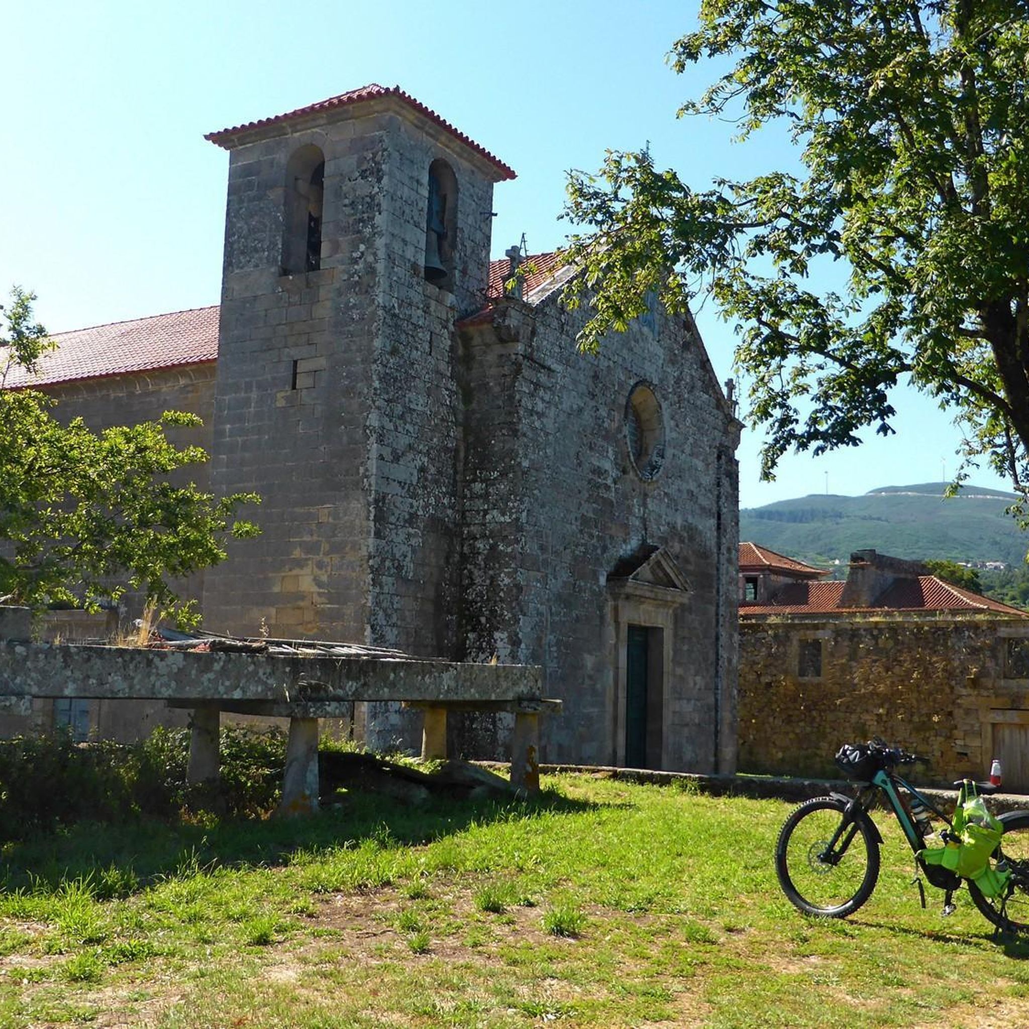
Hiking trails in Longos Vales often lead through ancient villages and past farms, offering a glimpse into local life and history. The Mosteiro de Longos Vales, a 12th-century monastery church classified as a National Monument, can enrich your hiking experience. Additionally, nearby attractions include the Lapela Tower, the Salvaterra de Miño Fortress, and ancient sites like the A Coutada Petroglyphs and Altamira Hillforts.
Is parking available near the trailheads in Longos Vales?
While specific parking information for every trailhead isn't provided, it is generally possible to find parking in or near the villages that serve as starting points for many routes. Look for designated parking areas in towns like Monção or Tangil, or near popular attractions.
How can I get to the hiking trails in Longos Vales using public transport?
Public transport options to reach Longos Vales and its trailheads may be limited. It's recommended to check local bus schedules for services connecting to Monção, the main municipality. From Monção, you might need to arrange local transport or consider a short taxi ride to reach specific trail starting points within Longos Vales.
Are there any riverside walks in the area?
Yes, the Minho River is a significant natural feature of the region, and several trails offer pleasant riverside walks. The Caldas Recreational Area – Bridge Over the Ameal River loop from Salvaterra de Miño is an example of a route that leads through riverside areas, providing tranquil views of the water.
What is the best time of year to go hiking in Longos Vales?
Longos Vales is beautiful throughout much of the year. Spring (April-June) offers lush greenery and pleasant temperatures, ideal for hiking. Autumn (September-November) is also excellent, with comfortable weather and the vibrant colors of the vineyards. Summers can be warm, so early morning or late afternoon hikes are recommended, while winters are generally mild but can be wet.
Most popular routes around Longos Vales
Most popular attractions around Longos Vales

Get inspired with the komoot mobile app


Explore more
Browse the best Hikes in other regions.
