The best road cycling routes around Refóios Do Lima
3.9
(29)
1,163
riders
39
rides
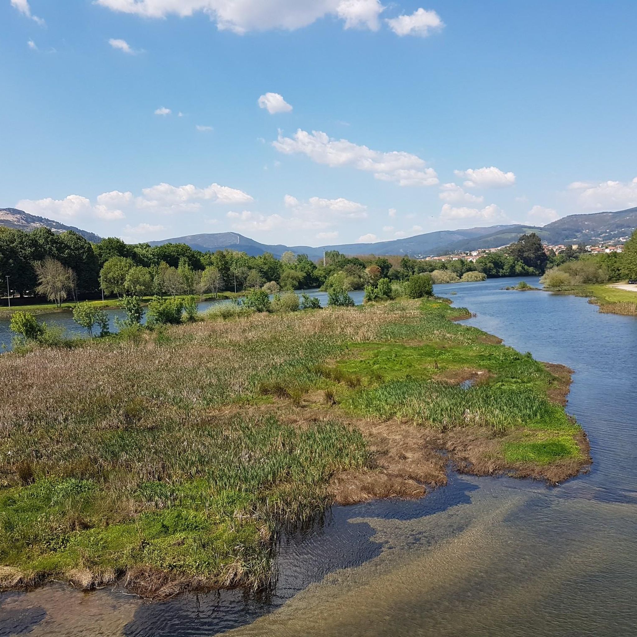
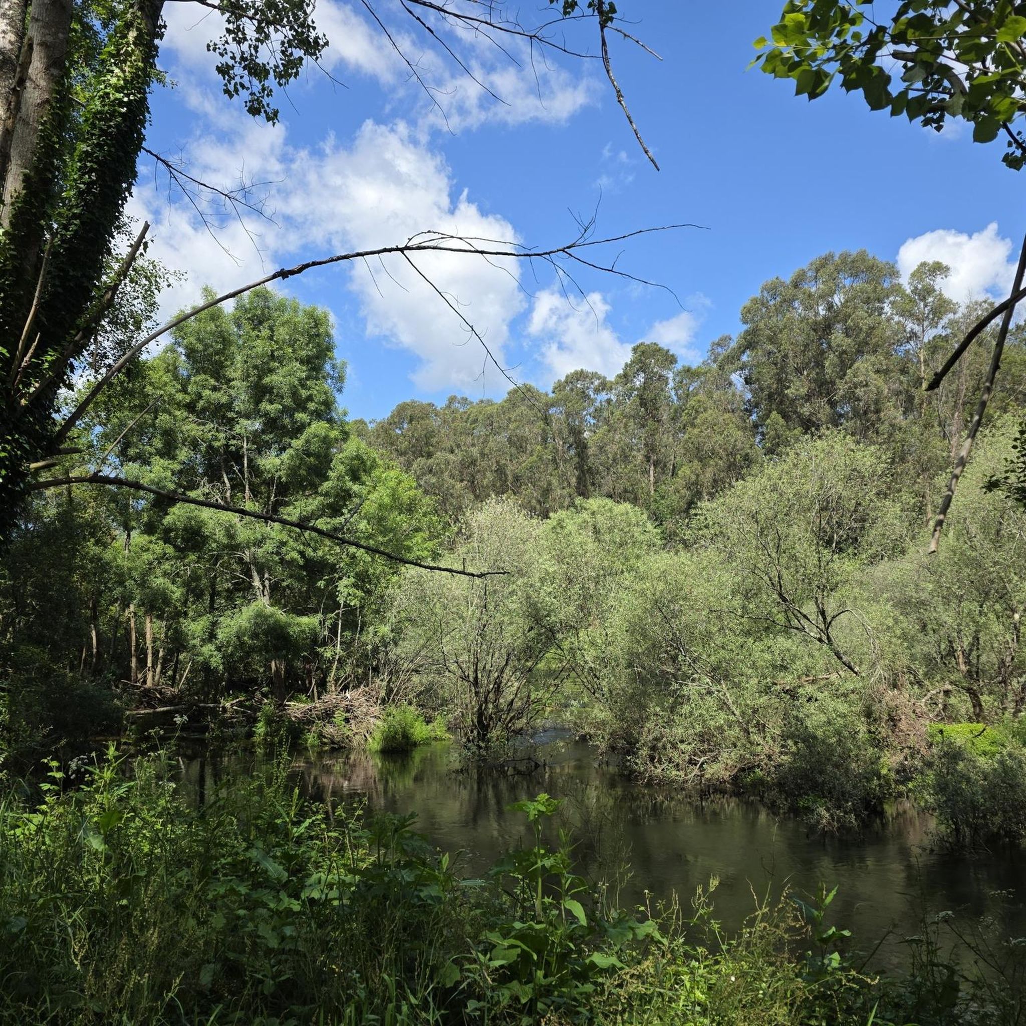
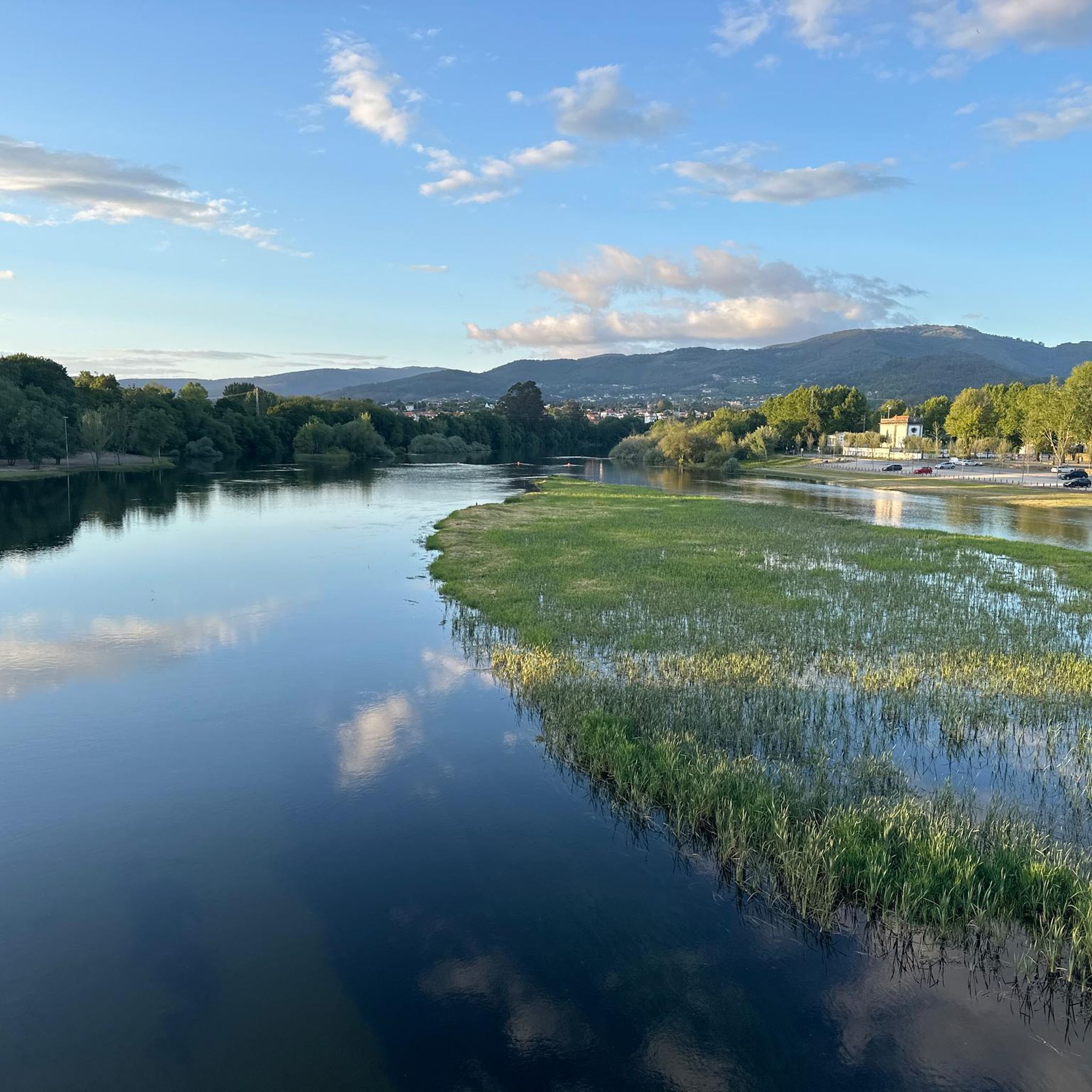
Road cycling routes around Refóios Do Lima traverse a landscape characterized by the Lima River valley and surrounding rural areas. The terrain includes a mix of quiet country roads and routes that incorporate historical bridges and river views. Elevation gains on some routes indicate varied topography, offering both flatter sections and more challenging climbs. The region provides a setting for road cyclists to explore the Alto Minho area.
Best road cycling routes around Refóios Do Lima
- The most popular road…
Last updated: July 4, 2026
4.0
(3)
186
riders
75.0km
03:25
580m
590m
Moderate road ride. Good fitness required. Mostly well-paved surfaces and easy to ride.
4.2
(5)
139
riders
52.0km
02:13
330m
330m
Moderate road ride. Good fitness required. Mostly well-paved surfaces and easy to ride.

Sign up for free
103
riders
109km
05:10
1,080m
1,080m
Hard road ride. Very good fitness required. Some segments of this route may be unpaved and difficult to ride.
44
riders
63.8km
02:53
540m
540m
Moderate road ride. Good fitness required. Mostly well-paved surfaces and easy to ride.
4.0
(3)
30
riders
43.9km
02:15
530m
530m
Moderate road ride. Good fitness required. Mostly well-paved surfaces and easy to ride.
Get access to more routes and recommendations from other explorers.
Sign up for free
Already have an account?
Our route recommendations are based on thousands of hikes, rides, and runs completed by other people on komoot.
Start today with a free account
Your next adventure awaits.
Login or Signup

Tips from the Community

unfortunately confusing photos of different towers again and usual photo chaos (also and especially from so-called experts!)
1
0


Location Address: N13, Viana do Castelo, Portugal. Views: Offers great photo opportunities, both from Darque and Viana do Castelo.
2
0
Access and Current Use Mixed Use: The bridge remains fully operational, serving both road and rail transport. Hours: As an essential public thoroughfare for the city, the bridge is open 24 hours a day for traffic. Works: Attention: In November and December 2025, the bridge has been undergoing maintenance work, resulting in the closure of vehicular traffic during the night (generally from 11:00 PM to 6:00 AM). It is recommended to check the exact times during your visit.
2
0
Main Features Design and Engineering: Inaugurated on June 30, 1878, it was the first road-rail bridge (with two superimposed decks) built in Portugal. Structure: It is 645 meters long, with the upper deck for car and pedestrian traffic, and the lower deck for the railway line (Minho Line). Heritage: The bridge is a beautiful example of 19th-century iron architecture and is considered a landmark of the city, being a candidate for classification as a National Monument.
2
0
The Eiffel Bridge of Viana do Castelo, also known as the Metal Bridge over the Lima River, is an iconic landmark of the city, designed in the office of the renowned engineer Gustave Eiffel. The bridge, made of iron, connects the banks of the Lima River between Viana do Castelo and the village of Darque.
2
0
Historical Context Origin of the name: The town of Ponte de Lima, the oldest in Portugal, derives its name from the bridge that crosses it. Way of St. James: The bridge is an important crossing point on the Portuguese Way of St. James. Legend: The legend of the Lima River, which runs under the bridge, tells that the Romans believed it to be the river of forgetfulness, which would have given rise to the myth that people who crossed it would forget their past lives.
2
0
The bridge that gives the Lima Bridge its name is actually a combination of two structures: a Roman section, built in the 1st century, and a medieval section, expanded in the 14th century. It crosses the Lima River and is one of the town's most emblematic monuments. Characteristics of the bridge Roman section: The remaining Roman section consists of five arches, and its construction is linked to the military road that connected the cities of Braga and Astorga. Medieval section: The medieval portion of the bridge is larger and was built to connect to the Roman section, extending the structure over the river. Material: The bridge is built of granite, using the Roman technique of "quadratum" and "vittatum" masonry.
2
0
Frequently Asked Questions
How many road cycling routes are available in Refóios Do Lima?
There are over 35 road cycling routes around Refóios Do Lima, offering a variety of options for different skill levels. The komoot community has rated these routes highly, with an average score of 4.1 stars.
Are there challenging road bike climbs in the Refóios Do Lima area?
Yes, the region offers routes with significant elevation gains. For example, the Quiet Country Road – Eiffel Bridge loop from Brandara is a difficult 67.7-mile (109.0 km) route with over 1000 meters of ascent, leading through rural landscapes and past the Eiffel Bridge.
Are there any easy road cycling routes suitable for beginners in Refóios Do Lima?
While most routes are moderate to difficult, the terrain includes flatter sections, especially along the Lima River valley. Beginners might find sections of longer routes manageable or look for shorter, less hilly segments. Currently, there are no routes explicitly categorized as 'easy' in our guide, but many moderate routes offer a good introduction to the area's cycling.
Can I find long-distance road cycling routes around Refóios Do Lima?
Absolutely. The area features several long-distance options. The Quiet Country Road – Eiffel Bridge loop from Brandara spans 67.7 miles (109.0 km), while the View of the Neiva River – View of Esposende loop from Ponte de Lima covers 53.1 miles (85.4 km), providing extensive rides through varied landscapes.
Are there circular road bike routes available in Refóios Do Lima?
Many of the popular road cycling routes in Refóios Do Lima are loops, allowing you to start and end at the same point. Examples include the Museum Ship Gil Eannes – Eiffel Bridge loop from Ponte de Lima and the Eiffel Bridge (Ponte Eiffel) – Eiffel Bridge loop from Ponte de Lima, both offering scenic circular tours.
What historical landmarks or points of interest can I see along road cycling routes in Refóios Do Lima?
Road cycling routes often pass by significant historical sites. You can encounter the iconic Roman Bridge of Ponte de Lima, the Old Jail Tower, and various monuments like the Cruz dos Franceses. These offer great opportunities to pause and explore the region's rich history.
Are there any natural attractions to see while road cycling near Refóios Do Lima?
Yes, the area is rich in natural beauty. Cyclists can explore the Protected Landscape of the Bertiandos and São Pedro de Arcos Lagoons, ride alongside the Vez River, or even visit the picturesque Cascata de Vilarinho waterfall, depending on the chosen route.
Where can I find parking for road cycling routes in Refóios Do Lima?
Many routes start from towns like Ponte de Lima, where public parking is generally available. Specific trailhead parking information can often be found in the route descriptions on komoot, or by checking local municipal websites for designated parking areas near popular starting points.
Is public transport accessible for road cyclists in Refóios Do Lima?
Public transport options, such as regional buses, connect Refóios Do Lima with surrounding towns. However, policies regarding bicycle transport can vary, so it's advisable to check with local transport providers in advance if you plan to use public transport to reach your starting point or for return journeys.
Are there options for road bike rental in Refóios Do Lima?
While Refóios Do Lima itself is a smaller locality, nearby larger towns like Ponte de Lima often have bike rental shops that cater to road cyclists. It's recommended to search online or contact local tourism offices in Ponte de Lima for current rental options and availability.
Are there cafes or places to stop for refreshments along the road cycling routes?
Yes, many routes pass through or near villages and towns where you can find cafes, restaurants, and small shops. The routes often follow quiet country roads that connect these communities, providing opportunities for refreshment stops. Planning your route with komoot allows you to see points of interest, including eateries, along the way.
What do other road cyclists enjoy about the routes in Refóios Do Lima?
The road cycling routes in Refóios Do Lima are highly rated by the komoot community, with an average score of 4.1 stars from over 20 reviews. Cyclists frequently praise the scenic river views, the quiet country roads, and the opportunity to explore historical bridges and rural landscapes of the Alto Minho area.
Most popular routes around Refóios Do Lima
Most popular attractions around Refóios Do Lima

Get inspired with the komoot mobile app


Explore more
Browse the best Road cycling routes in other regions.
