The best road cycling routes around Boivão
4.1
(20)
1,677
riders
85
rides
Road cycling routes around Boivão traverse a varied landscape characterized by rolling hills, river valleys, and historical fortifications. The region, situated near the border, offers routes that often connect towns and ancient sites. Road cyclists can expect a mix of open countryside and routes that pass through or near built-up areas, providing diverse riding experiences. The terrain includes both moderate climbs and more challenging ascents, catering to different fitness levels.
Best road cycling routes around Boivão
- The most popular road…
Last updated: July 4, 2026
5.0
(2)
94
riders
77.1km
03:40
1,010m
1,010m
Hard road ride. Very good fitness required. Mostly well-paved surfaces and easy to ride.
52
riders
74.6km
03:50
470m
470m
Moderate road ride. Good fitness required. Some segments of this route may be unpaved and difficult to ride.

Sign up for free
51
riders
99.8km
04:43
1,030m
1,030m
Hard road ride. Very good fitness required. Some segments of this route may be unpaved and difficult to ride.
45
riders
85.6km
04:10
1,240m
1,240m
Hard road ride. Very good fitness required. Mostly well-paved surfaces and easy to ride.
39
riders
55.5km
02:31
620m
620m
Moderate road ride. Good fitness required. Mostly well-paved surfaces and easy to ride.
Get access to more routes and recommendations from other explorers.
Sign up for free
Already have an account?
Our route recommendations are based on thousands of hikes, rides, and runs completed by other people on komoot.
Start today with a free account
Your next adventure awaits.
Login or Signup

Tips from the Community

Not only is the view beautiful, a quiet visit to the Fortress should be a must-do.
0
0


The wooden walkways stretch along the city walls of Monção and the banks of the Minho River to the stunning Parque das Caldas, always with views of neighboring Galicia. Inaugurated in 2021, they are a great way to reach Fortaleza de Monção.
1
0

The Tui International Bridge is a landmark on the border between Portugal and Spain, connecting the Galician city of Tui to Valença, Portugal, across the Minho River. This historic metal truss bridge serves as a crossing for cars, trains, and pedestrians. It is also part of the Camino de Santiago route, offering views of the river and both cities.
1
0

the river is impeccable, it has very clean water, shade and river beaches
2
0

I recommend bringing a swimsuit. There are areas that deserve a dip ☺️
2
0

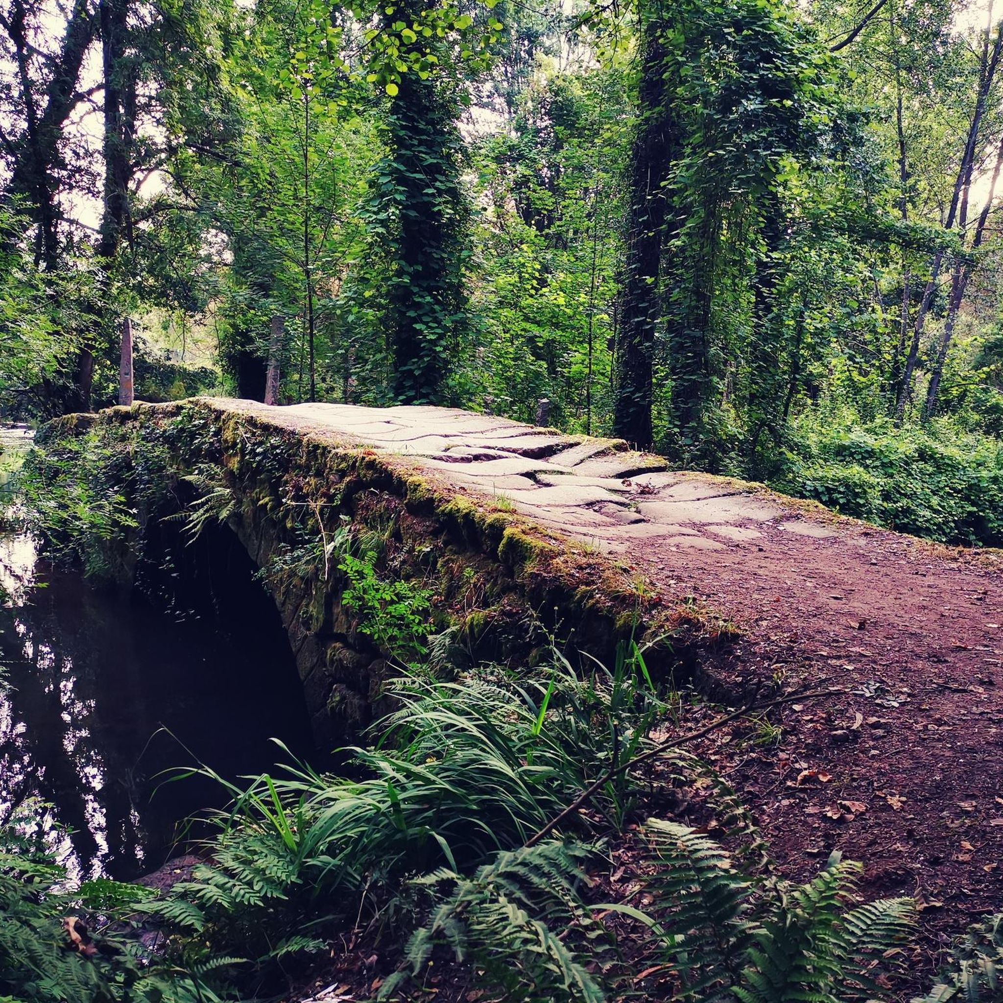
The Vez River is a mountain river located at the foot of the Serra do Soajo in the Peneda-Gerês National Park, Portugal. This river flows through the land of Arcos de Valdevez.
2
0

Bridge that connects Spain with Portugal, from the town of Tuy to Valença. As a tip, be careful, as it is narrow and the traffic passes quite close.
0
0
Frequently Asked Questions
How many road cycling routes are available around Boivão?
There are over 80 road cycling routes around Boivão, offering a wide range of options for different skill levels and preferences. The region features a mix of moderate and challenging routes.
What kind of terrain can I expect on road cycling routes near Boivão?
Road cycling routes around Boivão traverse a varied landscape characterized by rolling hills, river valleys, and historical fortifications. You can expect a mix of open countryside and routes that pass through or near built-up areas, with both moderate climbs and more challenging ascents.
Are there beginner-friendly road cycling routes in Boivão?
While many routes in Boivão feature significant climbs, there is at least one easy road cycling route available. Most routes are classified as moderate or difficult, so beginners should carefully check the route profiles for elevation and distance.
Where can I find challenging road cycling routes around Boivão?
Boivão is known for its challenging routes, with nearly 50 difficult options available. For a significant test, consider the Castle of Melgaço – Castelo de Salvaterra loop from Salvaterra de Miño, a 60.2-mile trail with substantial elevation gain. Another demanding option is the Quiet Country Road – Valença Fortress loop from Caldelas de Tui, which covers 99 km with nearly 1000 meters of ascent.
What historical landmarks can I see along road cycling routes in Boivão?
Many routes in Boivão connect historical sites. You can cycle past the impressive Fortress of Valença, or cross the Tui-Valencia International Bridge. Routes like the Valença Fortress – Castelo de Salvaterra loop from Salvaterra de Miño specifically highlight these historical areas.
Are there road cycling routes that offer scenic viewpoints in Boivão?
Given the region's rolling hills and river valleys, many routes naturally offer scenic vistas. The routes often pass through open countryside and along river landscapes, providing picturesque views of the surrounding area and historical structures like the Fortress of Valença.
Can I find loop routes for road cycling in Boivão?
Yes, many of the road cycling routes around Boivão are designed as loops, allowing you to start and end at the same point. Examples include the Castle of Melgaço – Mosteiro de San Paio de Albeos loop from Salvaterra de Miño and the Praia da Lenta – Valença Fortress loop from Salvaterra de Miño.
What is the best season for road cycling in Boivão?
While specific seasonal data isn't provided, the region's varied landscape with river valleys and rolling hills suggests that spring and autumn would offer pleasant temperatures and vibrant scenery for road cycling. Summer can also be suitable, though it might be warmer.
Are there places to stop for refreshments like cafes or pubs on the road cycling routes?
Many routes around Boivão connect towns and pass through or near built-up areas. This means you'll likely find opportunities to stop for refreshments in villages and towns along your ride, especially on routes that link places like Salvaterra de Miño, Valença, or Melgaço.
What do other road cyclists say about the routes in Boivão?
The road cycling routes in Boivão are highly rated by the komoot community, with an average score of 4.4 stars from over 18 reviews. Cyclists often praise the diverse terrain, the historical landmarks encountered, and the challenging ascents that provide a rewarding experience.
How long do road cycling routes typically take in Boivão?
The duration of routes varies significantly based on distance and difficulty. For example, the Valença Fortress – Castelo de Salvaterra loop from Salvaterra de Miño, a moderate 29.8-mile route, typically takes around 2 hours 19 minutes. Longer, more difficult routes like the Castle of Melgaço – Castelo de Salvaterra loop can take over 5 hours.
Most popular attractions around Boivão

Get inspired with the komoot mobile app


Explore more
Browse the best Road cycling routes in other regions.
