The best walks and hikes around Magueija
4.0
(95)
556
hikers
14
hikes
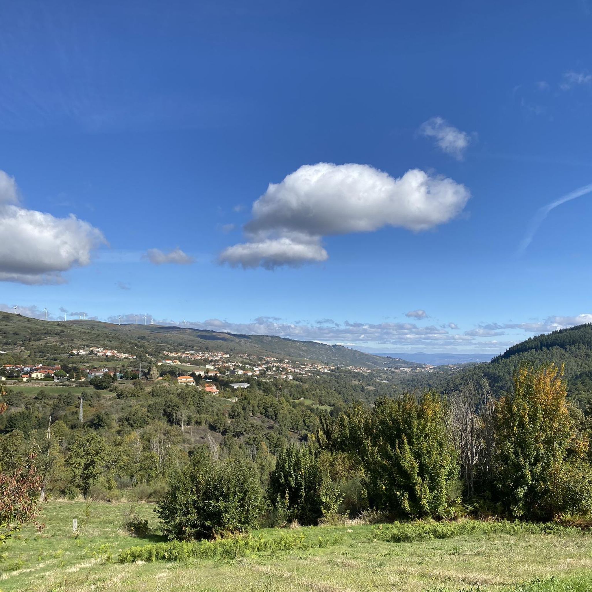
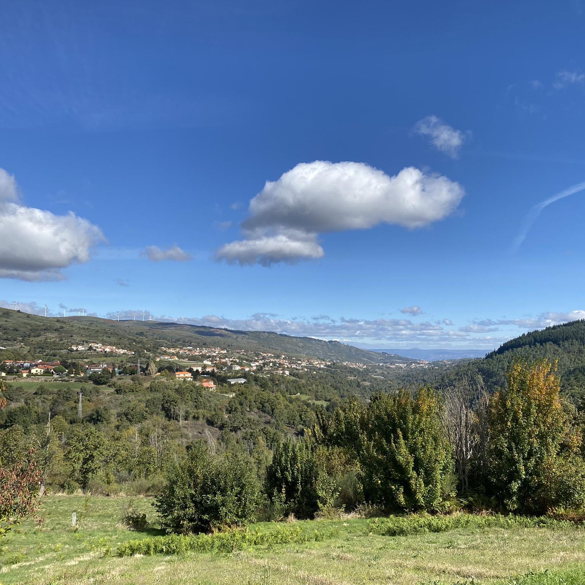
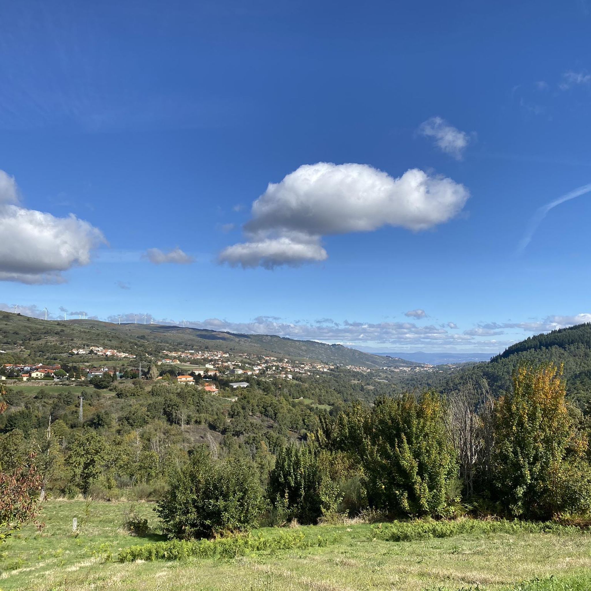
Hiking around Magueija, a village in the municipality of Lamego, offers access to diverse natural landscapes. Situated at an elevation of 844 meters, the region features mountainous terrain from the Serra de Montemuro and the terraced vineyards of the Douro Valley. The area is characterized by rugged landscapes, lush forests, and rolling hills, with the Balsemão River also flowing nearby. This varied terrain provides a range of hiking experiences.
Best hiking trails around Magueija
- The most popular hiking route is…
Last updated: June 26, 2026
4.8
(12)
104
hikers
3.16km
01:00
120m
120m
Easy hike. Great for any fitness level. Easily-accessible paths. Suitable for all skill levels.
4.7
(13)
84
hikers
3.40km
01:05
140m
140m
Easy hike. Great for any fitness level. Easily-accessible paths. Suitable for all skill levels.

Sign up for free
3.6
(7)
22
hikers
11.2km
03:17
300m
300m
Moderate hike. Good fitness required. Easily-accessible paths. Suitable for all skill levels.
4.9
(14)
66
hikers
7.59km
02:17
230m
230m
Moderate hike. Good fitness required. Easily-accessible paths. Suitable for all skill levels.
3.1
(9)
23
hikers
11.0km
03:09
250m
250m
Moderate hike. Good fitness required. Easily-accessible paths. Suitable for all skill levels.
Get access to more routes and recommendations from other explorers.
Sign up for free
Already have an account?
Our route recommendations are based on thousands of hikes, rides, and runs completed by other people on komoot.
Start today with a free account
Your next adventure awaits.
Login or Signup
Tips from the Community

A beautiful church, both inside and out. The courtyard is also worth seeing 😃
2
0
A magnificent building with a beautiful courtyard. Unfortunately, I couldn't see the inside.
1
0
The somewhat arduous path up the stairs is rewarded with a fantastic view and a church worth seeing.
1
1

It is the iconic view in Lamego
0
0
It is the iconic view in Lamego.
1
0
Spiral staircase, bell tower, view. Great!
1
1

Castelo de Lamego was constructed during the 12th century and was an important defensive structure during the Middle Ages. The castle underwent various renovations over the centuries, with the addition of Gothic and Manueline elements in the 15th and 16th centuries. Today, the castle is mostly in ruins, but visitors can still see the remaining walls, towers, and gates that once surrounded the fortress. The castle is situated on a hill overlooking the city and offers panoramic views of the surrounding landscape.
2
0
Frequently Asked Questions
How many hiking trails are available around Magueija?
There are over 15 hiking routes around Magueija, offering a variety of experiences. These include both easy and moderate trails, allowing hikers of different skill levels to explore the region's diverse landscapes.
What is the best time of year to go hiking in Magueija?
The best times for hiking around Magueija, particularly in the nearby Douro Valley, are typically from April to June and again in September. September offers the added experience of the grape harvesting season. During these periods, the weather is generally pleasant for outdoor activities.
What kind of terrain can I expect on hikes around Magueija?
Hikes around Magueija feature a varied terrain. You can expect rugged mountainous landscapes from the Serra de Montemuro, lush forests, and the iconic terraced vineyards of the Douro Valley. The Balsemão River also flows nearby, adding to the natural charm. Trails range from gentle slopes through picturesque countryside to more challenging routes within the mountains.
What do other hikers say about the trails in Magueija?
The hiking routes in Magueija are highly rated by the komoot community, with an average score of 3.98 stars from over 80 reviews. More than 400 hikers have used komoot to explore the varied terrain, often praising the scenic views and the blend of natural beauty with historical elements.
Are there easy hiking trails suitable for beginners in Magueija?
Yes, Magueija offers several easy hiking trails perfect for beginners or those looking for a relaxed walk. For instance, the Cave Formation – Teatro Ribeiro Conceição loop from Lamego is an easy 3.2 km path that explores Lamego's urban and natural blend, passing by local landmarks.
Are there any moderate or challenging hikes in the Magueija area?
While most trails are easy, there are moderate options available. For example, the Lamego Cathedral – Officers' Mess loop from Penude is a moderate 11 km route with significant elevation changes. The broader Serra de Montemuro also features a network of trails, such as the GR47, which can offer more challenging experiences.
Are there family-friendly hiking options around Magueija?
Yes, many of the easy loops around Lamego, such as the Lamego Cathedral loop from Lamego, are suitable for families. These routes typically have gentle elevation changes and offer views of historical architecture and the countryside, making them enjoyable for all ages.
What natural features or landmarks can I see while hiking near Magueija?
While hiking near Magueija, you can encounter diverse natural features and landmarks. The region is known for the dramatic landscapes of the Serra de Montemuro, the terraced vineyards of the Douro Valley, and the Balsemão River. Notable landmarks include the historic Lamego Castle, the impressive Lamego Cathedral, and the ancient Ucanha Tower and Bridge.
Are there good viewpoints along the trails in Magueija?
Yes, the region offers several stunning viewpoints. You can find panoramic vistas such as the View of the Douro Valley, showcasing the iconic terraced vineyards. Another notable spot is the View of Lamego and the Sanctuary of Nossa Senhora dos Remédios, offering expansive views of the city and its famous sanctuary.
Are there circular hiking routes available?
Many of the popular routes around Magueija and Lamego are circular, providing convenient starting and ending points. Examples include the Lamego Cathedral – Officers' Mess loop from Lamego, which guides you through historical areas and the surrounding countryside.
Where can I find parking for hiking trails in Magueija?
As Magueija is a rural village, parking is generally available within the village itself or at the starting points of trails in nearby towns like Lamego. It's advisable to check local signage for specific parking regulations, especially in urban centers.
Is it possible to reach hiking trails in Magueija using public transport?
Magueija is a small village, so direct public transport options to specific trailheads might be limited. However, Lamego, a larger nearby town, serves as a regional hub and likely offers more public transport connections. From Lamego, you might need to arrange local transport or walk to reach some of the closer trails.
Where can I find refreshments or places to eat near the hiking trails?
While Magueija itself is a small rural village, the nearby town of Lamego offers a wider selection of cafes, restaurants, and pubs where you can find refreshments and meals after your hike. Many trails around Lamego pass through or near the town center, making it convenient to access these amenities.
Most popular routes around Magueija
Most popular attractions around Magueija

Get inspired with the komoot mobile app


Explore more
Browse the best Hikes in other regions.
