The best road cycling routes around Ribeiradio
5.0
(2)
68
riders
14
rides
Road cycling routes around Ribeiradio traverse a landscape characterized by significant elevation changes, indicating hilly and undulating terrain. The region features rural roads connecting villages and historical points, with routes often including substantial climbs and descents. This area provides challenging road cycling experiences through varied inland scenery.
Best road cycling routes around Ribeiradio
- The most popular road cycling route is From Talhadas to São João do Monte — circular route, a 44.2 miles (71.1 km) trail that takes 3…
Last updated: October 18, 2026
5.0
(1)
2
riders
71.1km
03:59
1,480m
1,480m
Hard road ride. Very good fitness required. Mostly well-paved surfaces and easy to ride.
5.0
(1)
24
riders
Hard road ride. Very good fitness required. Mostly well-paved surfaces and easy to ride.

15
riders
Hard road ride. Very good fitness required. Some segments of this route may be unpaved and difficult to ride.
9
riders
50.5km
02:34
820m
820m
Moderate road ride. Good fitness required. Mostly well-paved surfaces and easy to ride.
5
riders
68.0km
03:14
860m
870m
Moderate road ride. Good fitness required. Mostly well-paved surfaces and easy to ride.
Get access to more routes and recommendations from other explorers.
Already have an account?
Our route recommendations are based on thousands of hikes, rides, and runs completed by other people on komoot.
Start today with a free account
Your next adventure awaits.

Tips from the Community

Dona Teresa was an important historical figure of Portugal, who ruled as Countess of the Portucalense County and called herself Queen from 1117. She was the mother of the 1st King D. Alfonso Henriques.
1
0

An old lady use to live in it. but as the fire destroyed it. now seats abandoned...the property is closed off.
0
0

Very beautiful place. To rest a little.
1
0
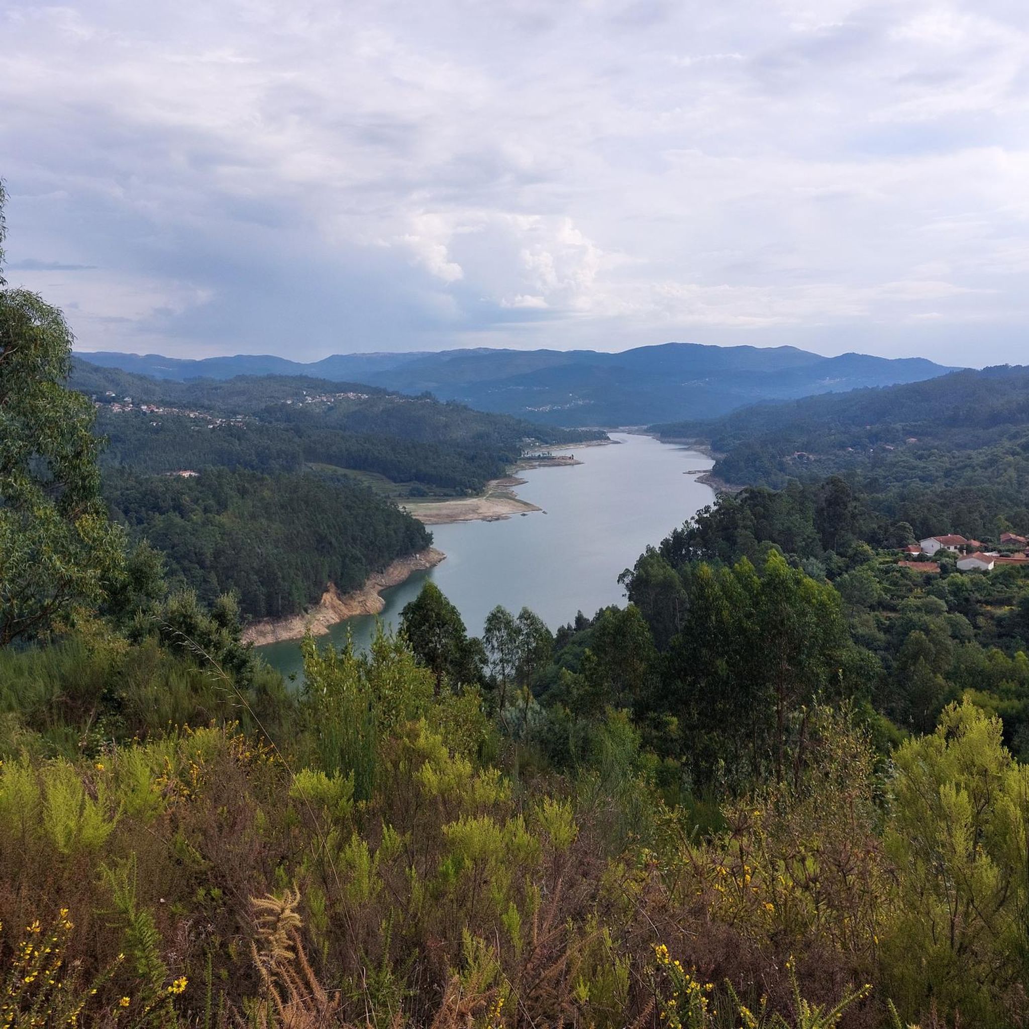
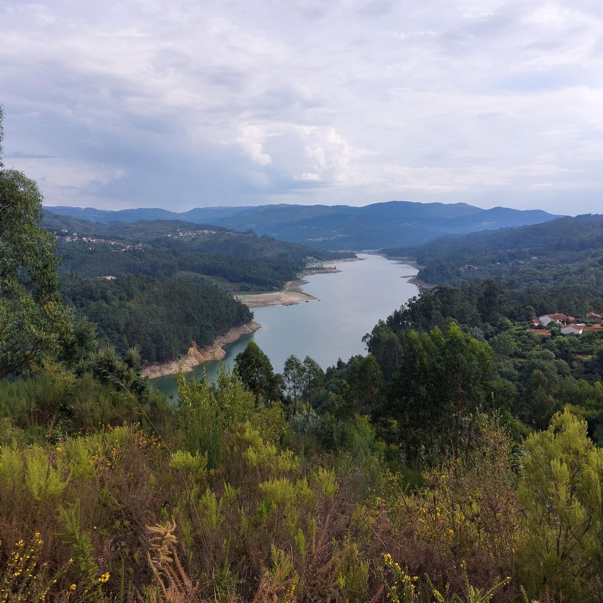
Spectacular view over the river.
1
0

In the past, this bridge was used to be used to ask for the hand of the beloved (engagement bridge).
4
0

Salt mining in the Aveiro region dates back to a time before the Ria de Aveiro itself existed, with the first written document about Aveiro salt production dating back to before the founding of the nation. Over the centuries, the instability of the inlet (isolation from the sea) was a decisive factor in the variation in the number and production of salt pans. This resulted in periods of decline interspersed with periods of great favorability for production. This occurred in 1572, when, given the favorable condition of the inlet and the high and progressive commercial and maritime index, Aveiro became one of the best ports in Portugal, with a significant increase in salt trade and cod fishing. In 1808, the new inlet (an artificial system that allows seawater to enter) was finally opened, a fact of exceptional importance for the future of Aveiro and the entire region. (Source: Wikipedia) (Source: Wikipedia)⁶
14
0
The Palheiros da Costa Nova, or the colorful little houses of Costa Nova, are the old fishermen's warehouses. In other words, these are where they stored their nets, boats, and fishing gear at the end of the day. But what makes the palheiros da Costa Nova so special, and why everyone wants to see them, is their picturesque and colorful appearance. The striped facades leave no one indifferent. And the fact that they are located in a seaside setting attracts even more visitors. Besides the palheiros, Costa Nova offers other must-see attractions for visitors. We're talking about extensive golden sand beaches, ideal for sunbathing or enjoying water sports like surfing and windsurfing. (Source: loveitportugal.com)
14
0
Frequently Asked Questions
Are there road cycling routes suitable for beginners in Ribeiradio?
Road cycling in Ribeiradio is primarily characterized by hilly terrain and significant elevation changes, making most routes suitable for experienced cyclists. There are no routes classified as 'easy' in the area, with 7 routes rated as moderate and 11 as difficult. For a moderate challenge, consider the Paradela Station – Talhadas Parish Church loop from Talhadas, which covers 31.4 miles (50.5 km) with over 2,600 feet of elevation gain.
What are the typical distances and durations for road cycling routes around Ribeiradio?
The road cycling routes in Ribeiradio vary in length and duration, reflecting the challenging terrain. You'll find routes ranging from around 31 miles (50 km) to over 79 miles (127 km). Durations can range from approximately 2.5 hours for shorter, moderate routes to over 5.5 hours for longer, more difficult ones, depending on your pace and the elevation.
Are there circular road cycling routes available in Ribeiradio?
Yes, many of the road cycling routes around Ribeiradio are designed as circular loops, allowing you to start and finish at the same point. A popular option is the From Talhadas to São João do Monte — circular route, a challenging 44.2-mile (71.1 km) ride. Another is the Paradela Railway Station – Oliveira de Frades loop from Estação Ferroviária de Paradela (desactivada), covering 40.3 miles (64.8 km).
What kind of terrain can I expect on road cycling routes in Ribeiradio?
Ribeiradio's road cycling routes are defined by hilly and undulating terrain, featuring significant elevation changes. You'll primarily ride on rural roads connecting villages and historical points, often encountering substantial climbs and descents. The landscape offers varied inland scenery, providing a challenging yet rewarding experience for road cyclists.
What are some scenic viewpoints or attractions along the road cycling routes in Ribeiradio?
While cycling around Ribeiradio, you can encounter several points of interest. The Poço de S. Tiago Bridge is a notable landmark. You might also pass by the historic Paradela Station (now disused) or the picturesque Felgueira Village. For a natural highlight, the Cabreia Waterfall is also in the vicinity.
Are there any less crowded road cycling routes in Ribeiradio?
Ribeiradio's road cycling routes generally traverse rural areas, which tend to be less crowded than urban cycling paths. While specific 'less crowded' routes aren't designated, the nature of the region's inland, village-connecting roads often provides a peaceful cycling experience away from heavy traffic. The routes are well-regarded by the komoot community, suggesting a good balance of accessibility and tranquility.
What is the best season for road biking in Ribeiradio?
Given the region's inland and potentially hilly characteristics, spring and autumn are generally ideal for road cycling in Ribeiradio. These seasons offer milder temperatures and more stable weather conditions, making the significant climbs and descents more enjoyable. Summers can be hot, and winters might bring cooler, wetter weather, which could impact comfort on longer rides.
What do other road cyclists enjoy most about road cycling in Ribeiradio?
The komoot community highly rates road cycling in Ribeiradio, with an average score of 5.0 stars from over 2 reviews. Cyclists often praise the challenging nature of the routes, the varied inland scenery, and the experience of riding through rural roads connecting charming villages. The significant elevation changes are frequently highlighted as a key feature for those seeking a demanding ride.
Are there any family-friendly road cycling routes in Ribeiradio?
Due to the prevalence of difficult and moderate routes with significant elevation changes, Ribeiradio's road cycling network is generally more suited for experienced adult cyclists rather than families with young children. There are no routes specifically classified as 'easy' or 'family-friendly' in the area. For a less intense experience, you might explore the Ecopista do Vouga: Sernada do Vouga to Paradela, which is a dedicated cycle path, though not a typical road cycling route.
How many road cycling routes are available around Ribeiradio?
There are over 18 road cycling routes available around Ribeiradio, offering a variety of options for cyclists. These routes range from moderate to difficult in terms of challenge, catering to those looking for a demanding and scenic ride through the region's hilly terrain.
Are there advanced road cycling routes around Ribeiradio for experienced riders?
Absolutely. Ribeiradio is well-suited for advanced road cyclists, with 11 out of 18 routes classified as 'difficult'. These routes feature substantial elevation gains and challenging distances. For example, the Ponte do Poço de S. Tiago – Striped Houses of Costa Nova loop from Estação Ferroviária de Paradela (desactivada) is a demanding 79.0-mile (127.1 km) ride with over 2,900 feet of climbing, offering varied landscapes.
Most popular routes around Ribeiradio
Most popular attractions around Ribeiradio

Get inspired with the komoot mobile app


Explore more
Browse the best Road cycling routes in other regions.
