The best walks and hikes around Barreiro De Besteiros
4.5
(36)
128
hikers
12
hikes
Hiking around Barreiro De Besteiros offers diverse terrain at the foot of the Serra do Caramulo mountain range. The region features significant elevation changes, with altitudes ranging from 250 meters to over 1000 meters, including the 1075-meter Caramulinho peak. Landscapes include extensive oak, chestnut, and pine forests, crystal-clear streams, and traditional villages with granite architecture. The geological composition is primarily granite and schist, contributing to its rugged character.
Best hiking trails around Barreiro De Besteiros
- The most popular hiking route…
Last updated: July 1, 2026
4.6
(10)
43
hikers
8.27km
02:21
180m
190m
Moderate hike. Good fitness required. Easily-accessible paths. Suitable for all skill levels.
4.8
(4)
17
hikers
8.25km
02:31
270m
270m
Moderate hike. Good fitness required. Easily-accessible paths. Suitable for all skill levels.

Sign up for free
5.0
(4)
17
hikers
Moderate hike. Good fitness required. Easily-accessible paths. Suitable for all skill levels.
4.3
(3)
9
hikers
17.9km
05:22
580m
580m
Hard hike. Very good fitness required. Easily-accessible paths. Suitable for all skill levels.
5.0
(3)
8
hikers
7.31km
01:54
50m
50m
Easy hike. Great for any fitness level. Easily-accessible paths. Suitable for all skill levels.
Get access to more routes and recommendations from other explorers.
Sign up for free
Already have an account?
Our route recommendations are based on thousands of hikes, rides, and runs completed by other people on komoot.
Start today with a free account
Your next adventure awaits.
Login or Signup
Tips from the Community

At the top of the village of Jueus, in the Serra do Caramulo, the Capela do Menino Jesus is home to one of the most enchanting viewpoints in the region. From here, you can gaze out over the hills and valleys, and it is easy to follow the trails that stretch across the landscape. The paths are well-maintained and are ideal for peaceful walks, but those who enjoy running will find a true paradise here: gentle trails, just the right amount of challenging, and nature that inspires every step.
2
0
The trails that wind through Caramulo are an irresistible invitation for those who enjoy running in the middle of nature. They are dirt tracks, not very technical, with just the right level of challenge to keep your legs alive and your heart racing. This one is an excellent example and is part of the Grande Rota do Caramulo, a great adventure that is best enjoyed on foot.
1
0

This is a part of the circular route PR1-TND Rota das Laranjais simply wonderful‼️👣👣🇵🇹 Here is the complete information: https://www.trilhosecaminhadas.com/threads/tnd-pr1-rota-dos-laranjais.5604/
2
0
This is a part of the circular route PR1-TND Rota dos Laranjais simply wonderful‼️👣👣🇵🇹 Here is the complete information: https://www.trilhosecaminhadas.com/threads/tnd-pr1-rota-dos-laranjais.5604/
2
0
This is a part of the circular route PR1-TND Rota dis Laranjais simply wonderful‼️👣👣🇵🇹 Here is the complete information: https://www.trilhosecaminhadas.com/threads/tnd-pr1-rota-dos-laranjais.5604/
2
0
This is a part of the circular route PR1-TND Rota dis Laranjais simply wonderful‼️👣👣🇵🇹 Here is the complete information: https://www.trilhosecaminhadas.com/threads/tnd-pr1-rota-dos-laranjais.5604/
2
0
This area is part of the Rota dos Laranjaias PR1 - TND, a wonderful walk‼️ Information here: https://www.trilhosecaminhadas.com/percursos/pr9-rota-da-laje-vis/
2
0

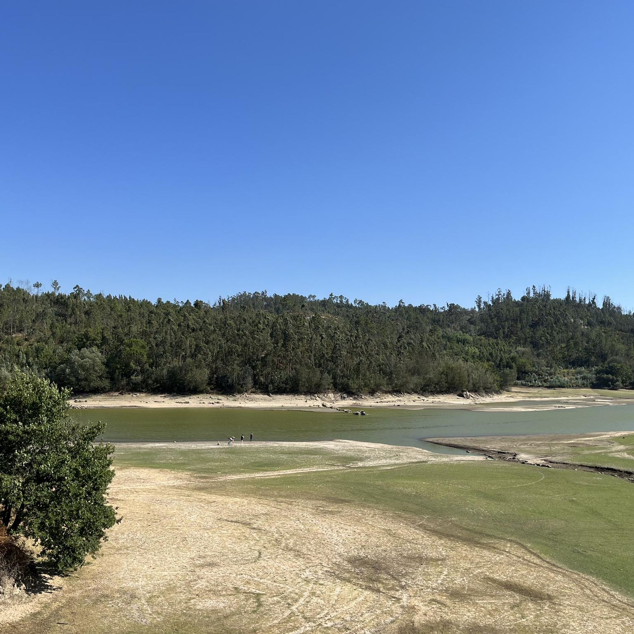
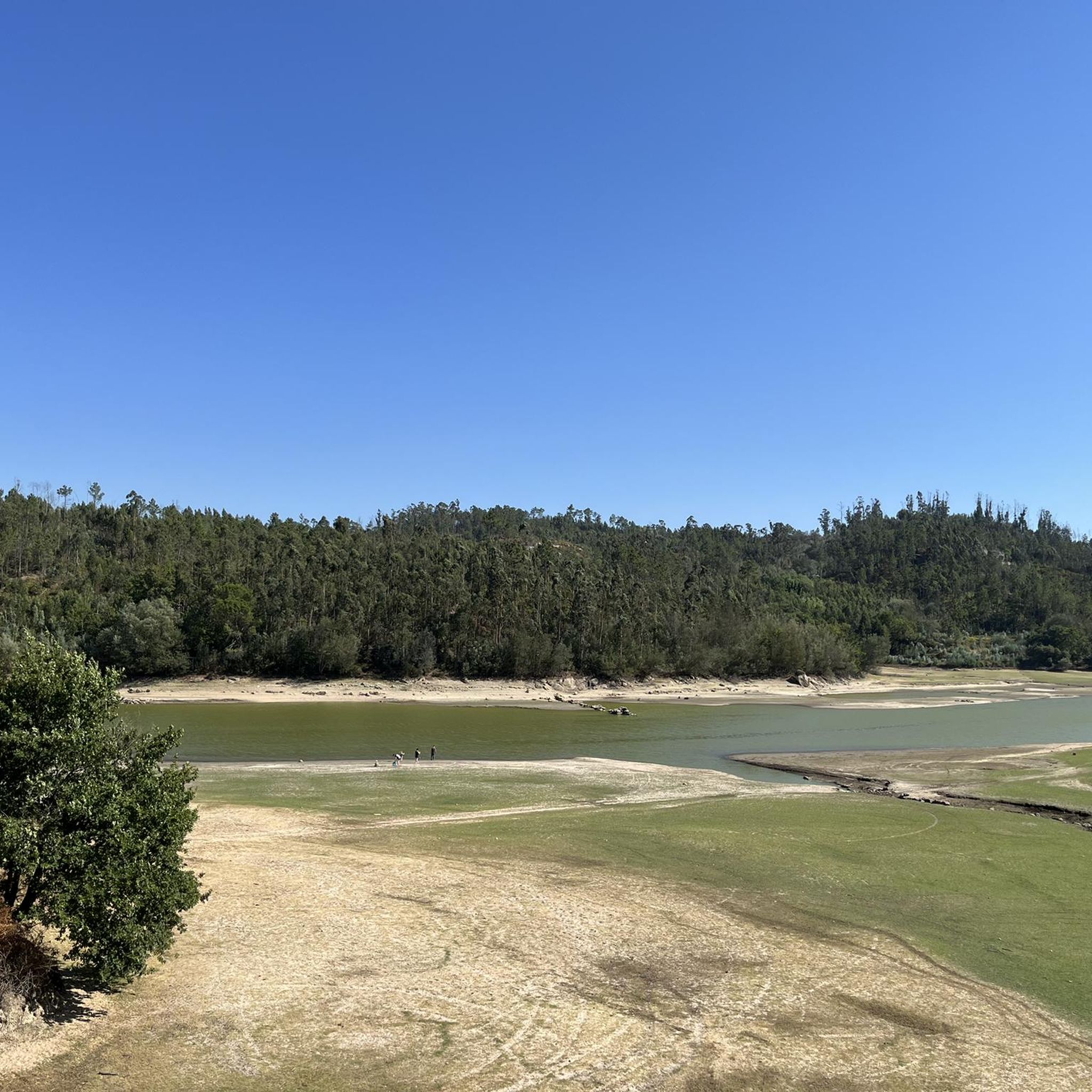
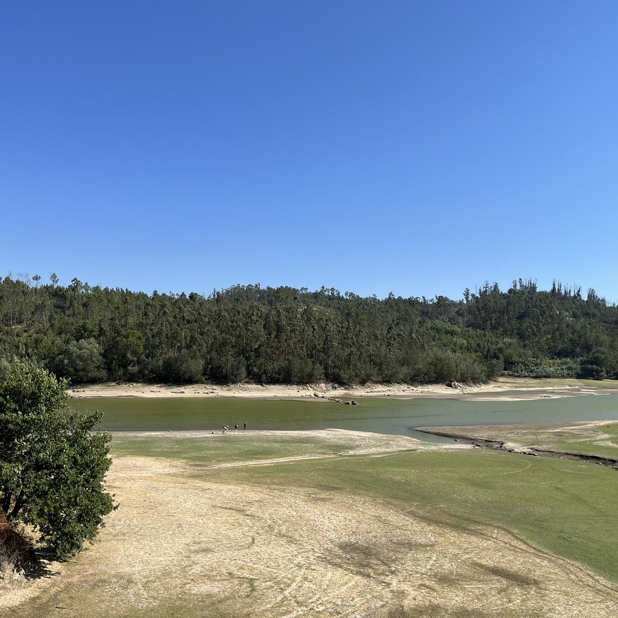
in good weather you can see the sea
3
1
Frequently Asked Questions
How many hiking trails are available in Barreiro De Besteiros?
Barreiro De Besteiros offers a good selection of hiking routes, with over 10 trails available for exploration. These range from easy walks to more challenging ascents, catering to various skill levels.
What kind of terrain can I expect when hiking in Barreiro De Besteiros?
The terrain in Barreiro De Besteiros is diverse, characterized by its position at the foot of the Serra do Caramulo. You'll encounter significant elevation changes, from 250 to over 1000 meters, with landscapes featuring extensive oak, chestnut, and pine forests, crystal-clear streams, and traditional villages with granite architecture. The geological composition is primarily granite and schist, contributing to its rugged beauty.
What is the best time of year to go hiking in Barreiro De Besteiros?
The region is generally pleasant for hiking for much of the year. Spring and autumn offer mild temperatures and vibrant natural colors, making them ideal. Summer can be warm but provides lush greenery and opportunities to enjoy river beaches. Winter hikes are also possible, especially on lower-altitude trails, though higher elevations might experience colder conditions.
Are there easy hiking options suitable for beginners or families?
Yes, Barreiro De Besteiros has several easy hiking options perfect for beginners or families. For instance, the View from Caramulo Summit – View Over Tondela loop from Jueus is an easy 3.9-mile (6.3 km) trail that can be completed in under two hours, offering varied terrain without excessive difficulty.
Are there challenging hikes for experienced adventurers?
For experienced hikers seeking a challenge, the region offers more demanding routes. The View from Caramulo Summit – View Over Tondela loop from Guardão is a difficult 17.8-mile (28.7 km) trail with significant elevation changes, providing a strenuous and rewarding experience through the mountainous landscape.
Can I find circular hiking routes in the area?
Yes, many of the trails in Barreiro De Besteiros are circular routes, offering convenient starting and ending points. Examples include the popular View Over Tondela – Pedrógão loop from Caramulo and the Ruins of the Rota dos Laranjais – Ribeira das Laranjeiras Stream loop from Castelões, both providing diverse scenery on a loop.
Are there any trails that feature waterfalls or streams?
Yes, the landscape around Barreiro De Besteiros is crisscrossed by crystal-clear streams. Some routes in the Serra do Caramulo feature watermills and small waterfalls, adding to the scenic beauty. The Ruins of the Rota dos Laranjais – Ribeira das Laranjeiras Stream loop from Castelões, for instance, follows the Ribeira das Laranjeiras Stream, offering pleasant waterside sections.
What cultural or historical sites can I discover while hiking?
Hiking in Barreiro De Besteiros allows you to encounter traditional Portuguese villages with granite houses and 'espigueiros' (granaries). You can also find ancient Roman paths and traces of occupation. A notable historical site is the Prehistoric Rock Art Site of Alagoa in Castelões, close to Barreiro De Besteiros, which features hundreds of ancient engravings on schist rocks.
How can I get to the trailheads, and is parking available?
Access to trailheads typically involves driving to the starting points of the routes. While specific parking information for each trailhead isn't always detailed, many villages and popular starting points in the Serra do Caramulo region usually offer designated or informal parking areas. Public transport options are limited, so a car is generally recommended for flexibility.
What are some interesting places to explore near the hiking trails?
Beyond the trails, you can explore several interesting attractions. The Ecopista do Dão, a converted railway path, is nearby and offers excellent views over the Dão River for walking or cycling. You can also visit the Tondela Old Railway Station or relax at the Nagosela River Beach for swimming and picnics.
What do other hikers enjoy the most about hiking in Barreiro De Besteiros?
The area is highly rated by the komoot community, with an average score of 4.6 stars from over 30 reviews. Hikers often praise the diverse terrain, the beauty of the dense woodlands, and the clear waterways. The variety of routes, from easy walks to challenging ascents, is also frequently highlighted as a positive aspect.
Most popular attractions around Barreiro De Besteiros

Get inspired with the komoot mobile app


Explore more
Browse the best Hikes in other regions.
