The best road cycling routes around Medzilaborce
5.0
(5)
173
riders
14
rides
Road cycling routes around Medzilaborce navigate a landscape characterized by rolling hills, river valleys, and mountain passes. The region features significant elevation changes, with routes often traversing forested areas and offering views of the surrounding terrain. Road cyclists can expect varied surfaces and gradients, typical of a sub-mountainous environment.
Best road cycling routes around Medzilaborce
- The most popular road cycling route is View of the mountains in Cisna loop from Komańcza Letnisko, a 42.6 miles (68.5 km) trail that takes 3 hours 12 minutes to complete. This moderate route offers views of the mountains.
- Another top favourite among local road cyclists is Dukla Pass – Greek Catholic church loop from Moszczaniec, a difficult 71.9 miles (115.7 km) path. This route includes significant climbs, passing through the historic Dukla Pass.
- Local road cyclists also love the Czeremcha Bar – Jaśliska Gate loop from gmina Jaśliska, a 25.6 miles (41.2 km) trail leading through forested hills and valleys, often completed in about 2 hours 32 minutes.
- Road cycling around Medzilaborce is defined by mountain passes, river valleys, and forested hills. The network offers options for different ability levels, from moderate rides to more advanced road cycling routes.
- The guide includes highly-rated routes that showcase the best of the region's landscape. More than 60 road cyclists have used komoot to explore Medzilaborce's varied terrain.
Last updated: July 2, 2026
5.0
(5)
68
riders
122km
05:35
1,280m
1,280m
Hard road ride. Very good fitness required. Mostly well-paved surfaces and easy to ride.
15
riders
116km
05:09
1,230m
1,230m
Hard road ride. Very good fitness required. Mostly well-paved surfaces and easy to ride.

Sign up for free
23
riders
55.3km
02:40
790m
790m
Moderate road ride. Good fitness required. Mostly well-paved surfaces and easy to ride.
7
riders
41.2km
02:33
790m
790m
Moderate road ride. Good fitness required. Some segments of this route may be unpaved and difficult to ride.
7
riders
72.4km
03:58
800m
800m
Moderate road ride. Good fitness required. Some segments of this route may be unpaved and difficult to ride.
4
riders
40.3km
02:28
320m
320m
Moderate road ride. Good fitness required. Some segments of this route may be unpaved and difficult to ride.
3
riders
49.9km
03:24
1,010m
1,010m
Hard road ride. Very good fitness required. Some segments of this route may be unpaved and difficult to ride.
3
riders
97.8km
04:33
1,050m
1,050m
Hard road ride. Very good fitness required. Some segments of this route may be unpaved and difficult to ride.
3
riders
23.4km
01:09
340m
340m
Moderate road ride. Good fitness required. Mostly well-paved surfaces and easy to ride.
3
riders
69.4km
03:44
1,100m
1,100m
Hard road ride. Very good fitness required. Some segments of this route may be unpaved and difficult to ride.
Get access to more routes and recommendations from other explorers.
Sign up for free
Already have an account?
Our route recommendations are based on thousands of hikes, rides, and runs completed by other people on komoot.
Start today with a free account
Your next adventure awaits.
Login or Signup

Tips from the Community


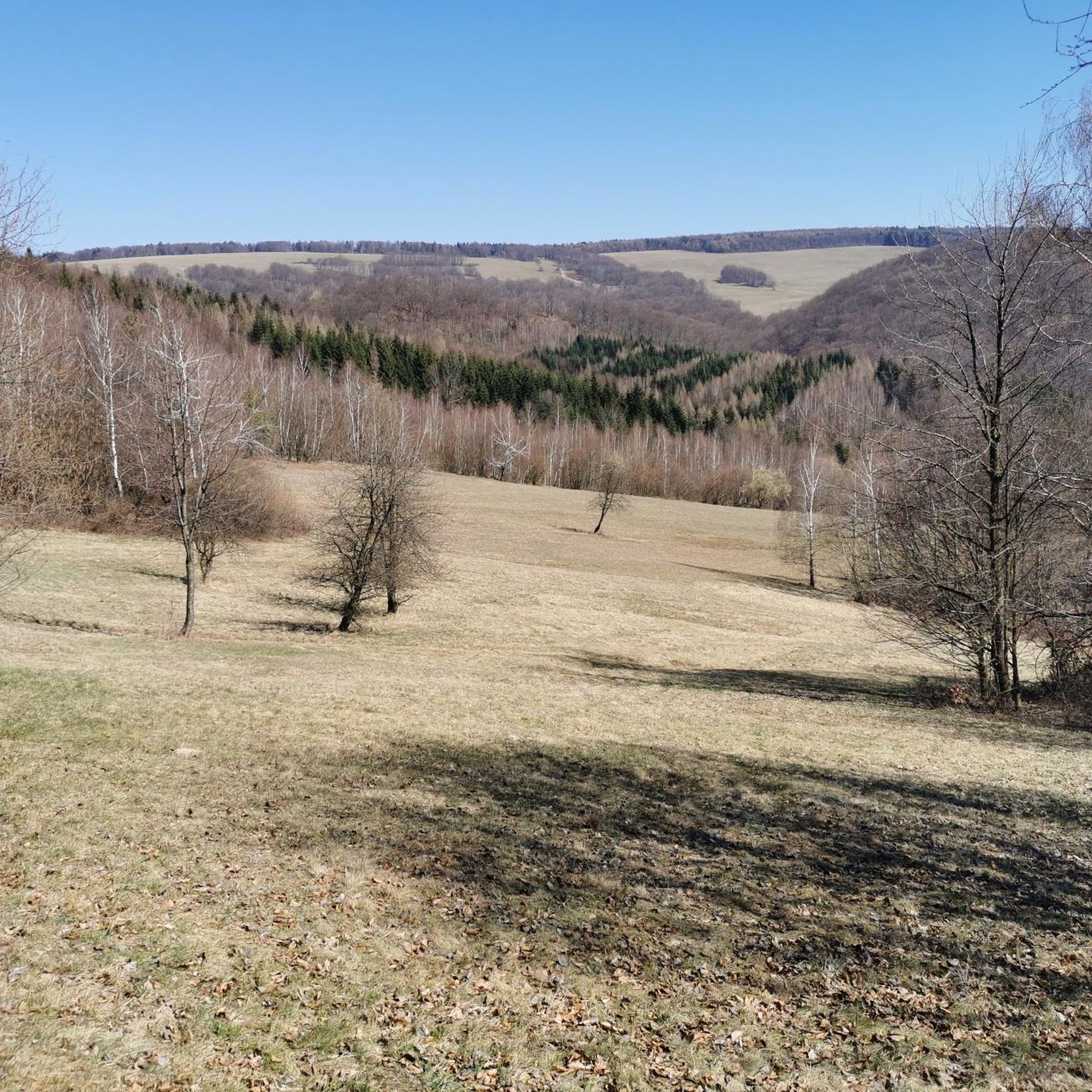
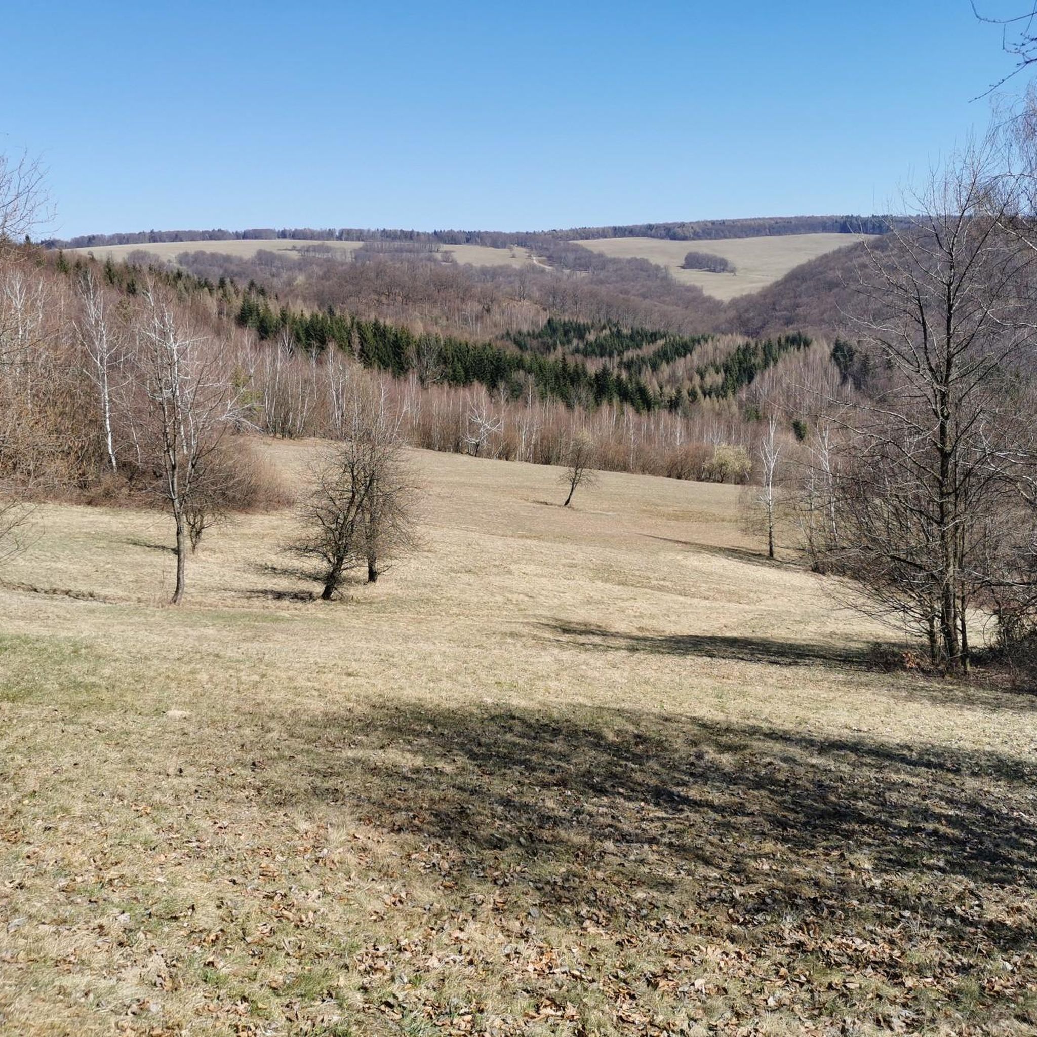
A beautiful view from the bridge over the Wisłok River—it's just a regular road for cars (so watch out for traffic, hikers!), but the views of these cliffs above the river meandering through the valley are truly breathtaking. Nearby (i.e., a minute or two east along a small path along the river) is another viewpoint, if that's not enough!
2
0
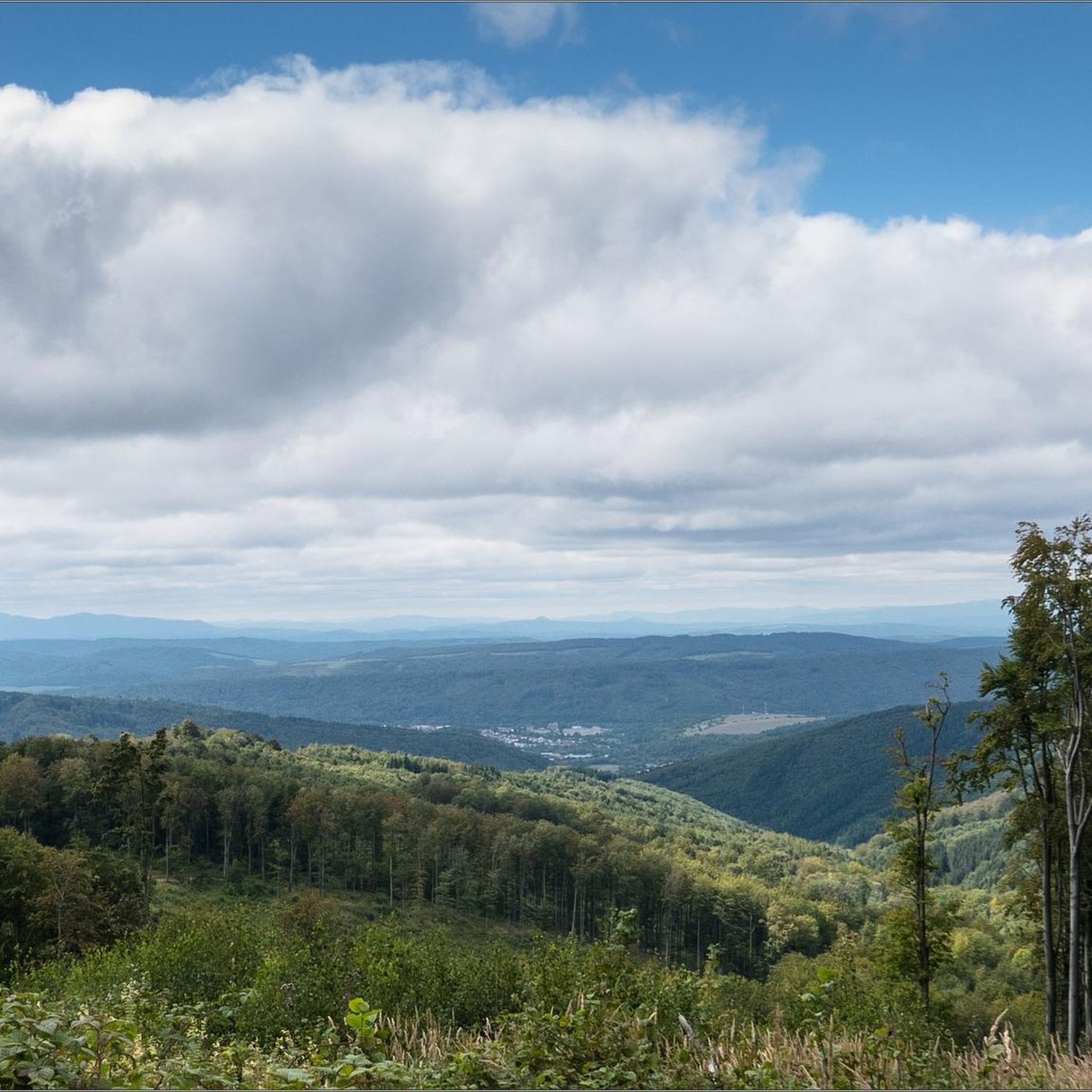
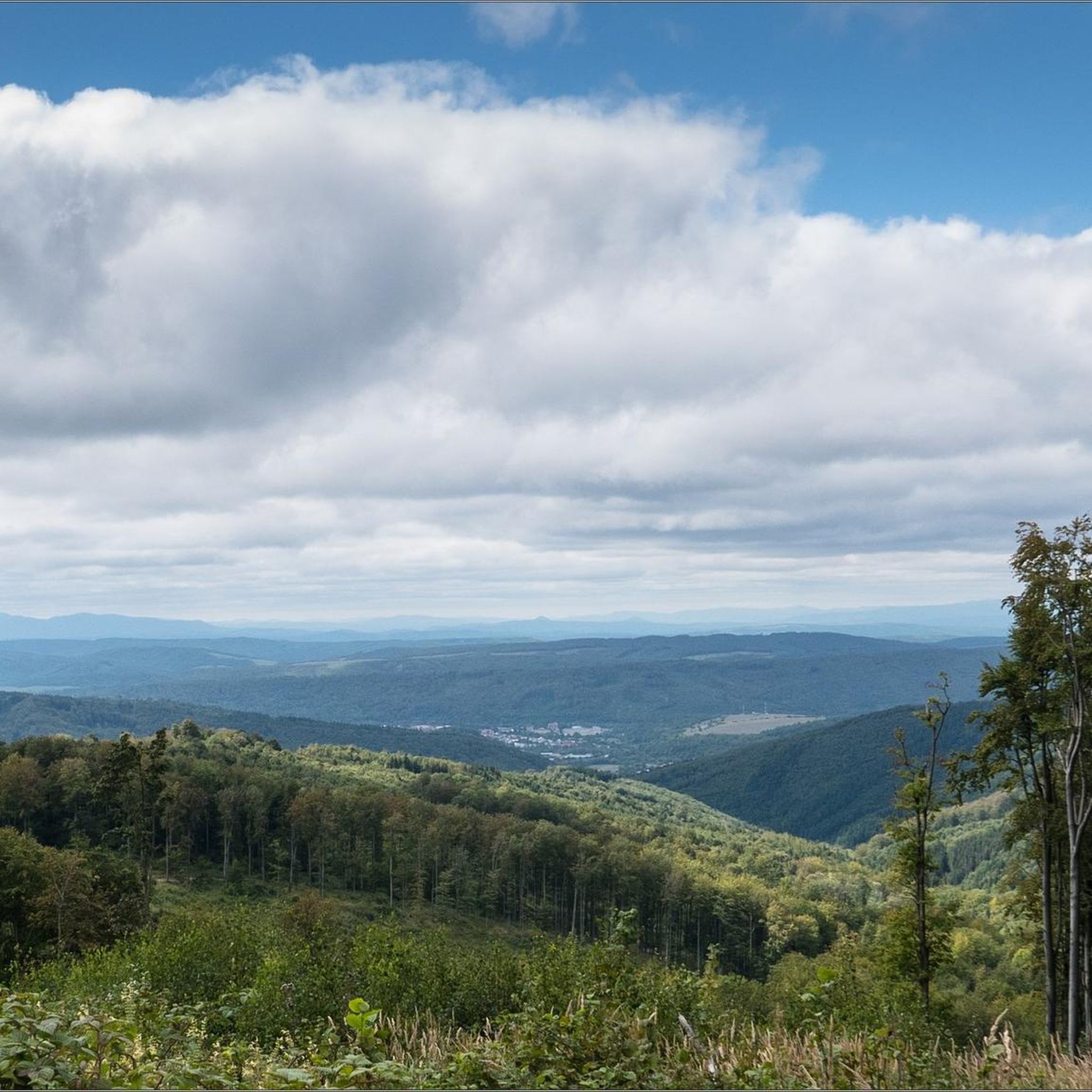
A mountain pass at an altitude of 816 meters above sea level between Chryszczata and Jaworne. A nice shelter for resting here – easy and pleasant.
1
0

More information, photos, and videos: https://www.twojebieszczady.net/st_cerkwie/cerkiew_turzansk.php https://www.podkarpackie.eu/turystyka/odkryj_podkarpackie/architektura_drewniana/cerkiew-pw-archaniola-michala-w-turzansku-17964 https://digitalunesco.pl/portfolio-item/turzansk/
0
0

Beautiful scenic route with a view of Cergowa Mountain. All around beautiful hills, hills and valleys. Something beautiful. It's probably better to go from Lubatowa, but it's also beautiful from Dukla. It's slower and you can admire a lot.
0
0

The length of the climb is 3 km, and the elevation gain is 200 m. The average gradient is 7.1%, but the last kilometer is the most difficult with a gradient of up to 12%. The asphalt is of good quality, with small cracks in places.
1
0
The climb to the summit of Przymiarka is 3.8 km long and has a 200 m elevation gain. The average gradient is 5.4%, but in the last kilometer it reaches 11-12%. The asphalt is in an acceptable condition, although there are cracks. At the end, there is a viewpoint with an information board that will help you recognize the peaks visible on the horizon.
1
0
The climb to Przymiarki through Bałucianka is 3.2 km long and has a 180 m elevation gain. The average gradient is 6%, with the gradient being concentrated mainly in the second part of the climb, where it reaches 12-13%. The asphalt is of very good quality and the views from the top are panoramic.
1
0
Frequently Asked Questions
How many road cycling routes are available around Medzilaborce?
There are 8 distinct road cycling routes documented around Medzilaborce, offering a variety of experiences for different skill levels.
Are there road cycling routes suitable for beginners in Medzilaborce?
The routes around Medzilaborce are generally characterized by significant elevation changes, typical of a sub-mountainous environment. While there are no routes explicitly classified as 'easy' in this guide, there are 5 moderate routes that might be suitable for road cyclists with some experience, such as the View of the mountains in Cisna loop from Komańcza Letnisko.
What are some longer road cycling routes in the Medzilaborce area?
For those seeking a longer challenge, the Base of the People of the Mist – Wyżna Pass loop from Komańcza Letnisko is a difficult route spanning approximately 138.5 km with significant climbs. Another substantial option is the Dukla Pass – Greek Catholic church loop from Moszczaniec, which is about 115.7 km long and also rated as difficult.
Are there any circular road cycling routes around Medzilaborce?
Yes, many of the routes in the area are designed as loops, allowing you to start and end in the same location. Examples include the Czeremcha Bar – Jaśliska Gate loop from gmina Jaśliska and the Greek Catholic church – Orthodox church loop from Jaśliska.
What is the best season for road cycling in Medzilaborce?
Given the region's sub-mountainous character, late spring, summer, and early autumn generally offer the most favorable conditions for road cycling. During these months, you can expect more stable weather and accessible mountain passes. Always check local weather forecasts before heading out.
Are there any challenging or advanced road cycling routes in Medzilaborce?
Absolutely. Medzilaborce offers several difficult routes with substantial elevation gains. The Dukla Pass – Greek Catholic church loop from Moszczaniec, for instance, includes significant climbs and passes through the historic Dukla Pass. Another demanding option is the Base of the People of the Mist – Wyżna Pass loop from Komańcza Letnisko, which features over 1700 meters of ascent.
What kind of views can I expect along the road cycling routes?
Road cycling routes around Medzilaborce often traverse forested areas, river valleys, and mountain passes, offering panoramic views of the surrounding terrain. For example, the View of the mountains in Cisna loop from Komańcza Letnisko is specifically noted for its mountain vistas.
Are there options for parking near the road cycling routes?
While specific parking information for each route start is not detailed here, many routes begin or pass through villages and towns like Komańcza Letnisko, Moszczaniec, or Jaśliska, where public parking facilities are typically available. It's advisable to check local maps or community information for precise parking locations before your ride.
Can I access road cycling routes in Medzilaborce using public transport?
Medzilaborce and surrounding villages are connected by regional bus services, and some may have train stations. While direct public transport access to every route start might vary, it's often possible to reach a nearby town or village by bus or train and begin your ride from there. Check local transport schedules for the most up-to-date information.
What should I wear for road biking in the Medzilaborce region?
Given the varied terrain and potential for elevation changes, layering is recommended. Essential gear includes a helmet, cycling shorts, a moisture-wicking base layer, and a jersey. Depending on the season, bring arm/leg warmers, a windproof vest or jacket, and gloves. Always carry rain gear, as mountain weather can change quickly.
Are there places to stop for refreshments or cafes along the routes?
Many routes pass through or near small villages and towns. While not every route will have frequent stops, you can often find local shops, cafes, or guesthouses in places like Komańcza, Jaśliska, or Moszczaniec. It's always a good idea to carry sufficient water and snacks, especially on longer or more remote sections.
What makes road cycling in Medzilaborce unique compared to other regions?
Road cycling in Medzilaborce is defined by its sub-mountainous environment, offering a blend of rolling hills, river valleys, and challenging mountain passes. The region's landscape provides varied surfaces and gradients, often leading through forested areas and past historical sites like the Dukla Pass, making for a diverse and engaging riding experience.
Most popular routes around Medzilaborce

Get inspired with the komoot mobile app


Explore more
Browse the best Road cycling routes in other regions.
