The best road cycling routes around Snina
5.0
(7)
599
riders
29
rides
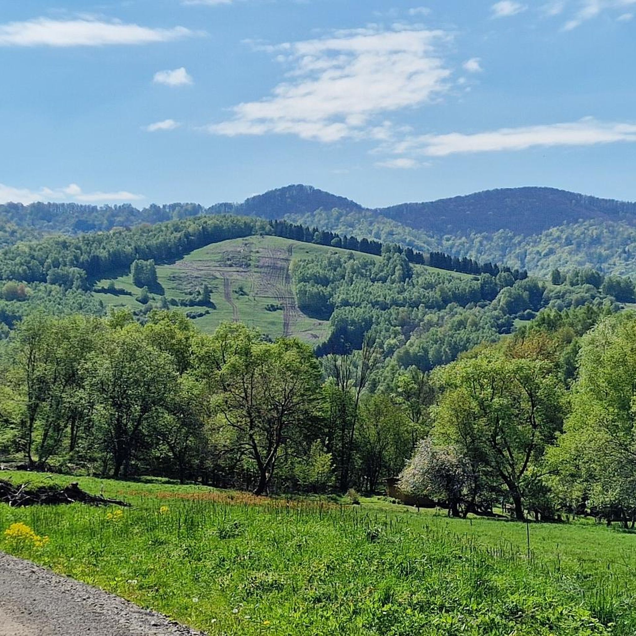
Road cycling around Snina is characterized by its varied terrain, featuring significant elevation changes and routes that traverse mountainous landscapes. The region includes passes and climbs, offering challenging ascents and descents. Road cyclists can expect to encounter a mix of open views and forested sections, with some routes skirting natural features like the Bieszczady Mountains.
Best road cycling routes around Snina
- The most popular road cycling route is Wyżna Pass – Base of the People of the Mist loop from…
Last updated: July 2, 2026
5.0
(1)
128
riders
102km
04:54
1,480m
1,480m
Hard road ride. Very good fitness required. Mostly well-paved surfaces and easy to ride.
5.0
(2)
92
riders
Hard road ride. Very good fitness required. Mostly well-paved surfaces and easy to ride.

Sign up for free
5.0
(2)
110
riders
68.2km
03:17
970m
970m
Hard road ride. Very good fitness required. Mostly well-paved surfaces and easy to ride.
28
riders
46.8km
02:54
680m
680m
Moderate road ride. Good fitness required. Some segments of this route may be unpaved and difficult to ride.
13
riders
37.6km
01:59
690m
690m
Moderate road ride. Good fitness required. Mostly well-paved surfaces and easy to ride.
8
riders
92.3km
04:24
1,240m
1,240m
Hard road ride. Very good fitness required. Some segments of this route may be unpaved and difficult to ride.
8
riders
44.5km
01:59
380m
380m
Moderate road ride. Good fitness required. Mostly well-paved surfaces and easy to ride.
10
riders
56.6km
02:40
740m
740m
Moderate road ride. Good fitness required. Mostly well-paved surfaces and easy to ride.
10
riders
54.5km
02:30
600m
600m
Moderate road ride. Good fitness required. Some segments of this route may be unpaved and difficult to ride.
16
riders
Moderate road ride. Good fitness required. Mostly well-paved surfaces and easy to ride.
Get access to more routes and recommendations from other explorers.
Sign up for free
Already have an account?
Our route recommendations are based on thousands of hikes, rides, and runs completed by other people on komoot.
Start today with a free account
Your next adventure awaits.
Login or Signup
Popular around Snina
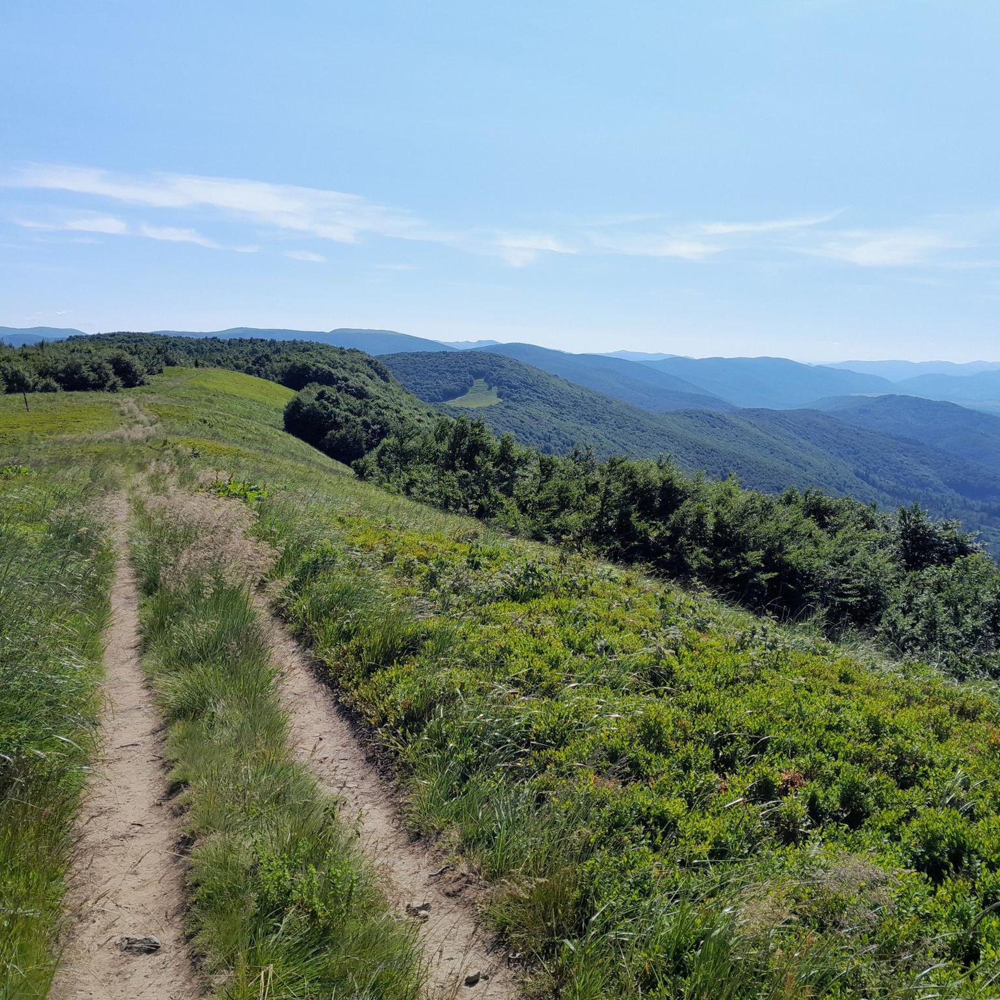
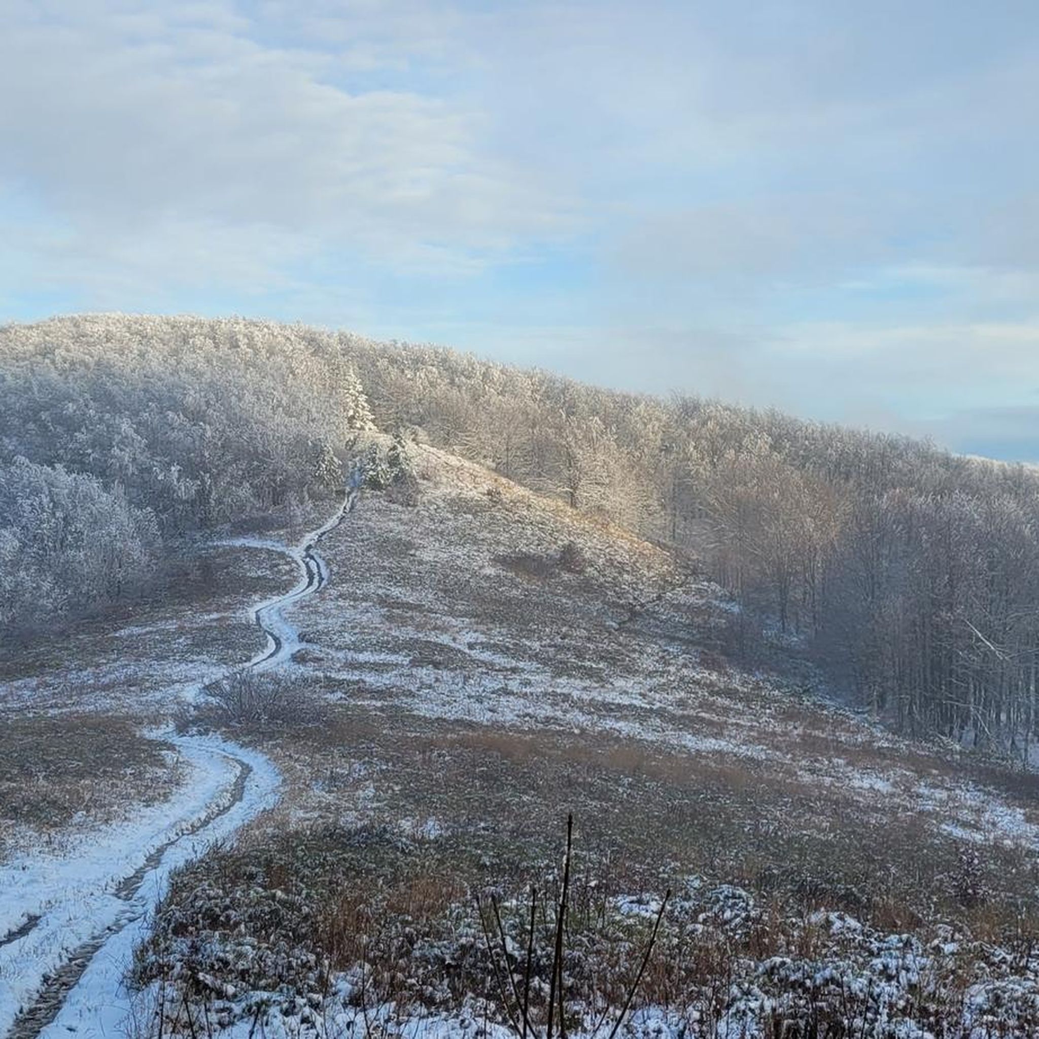
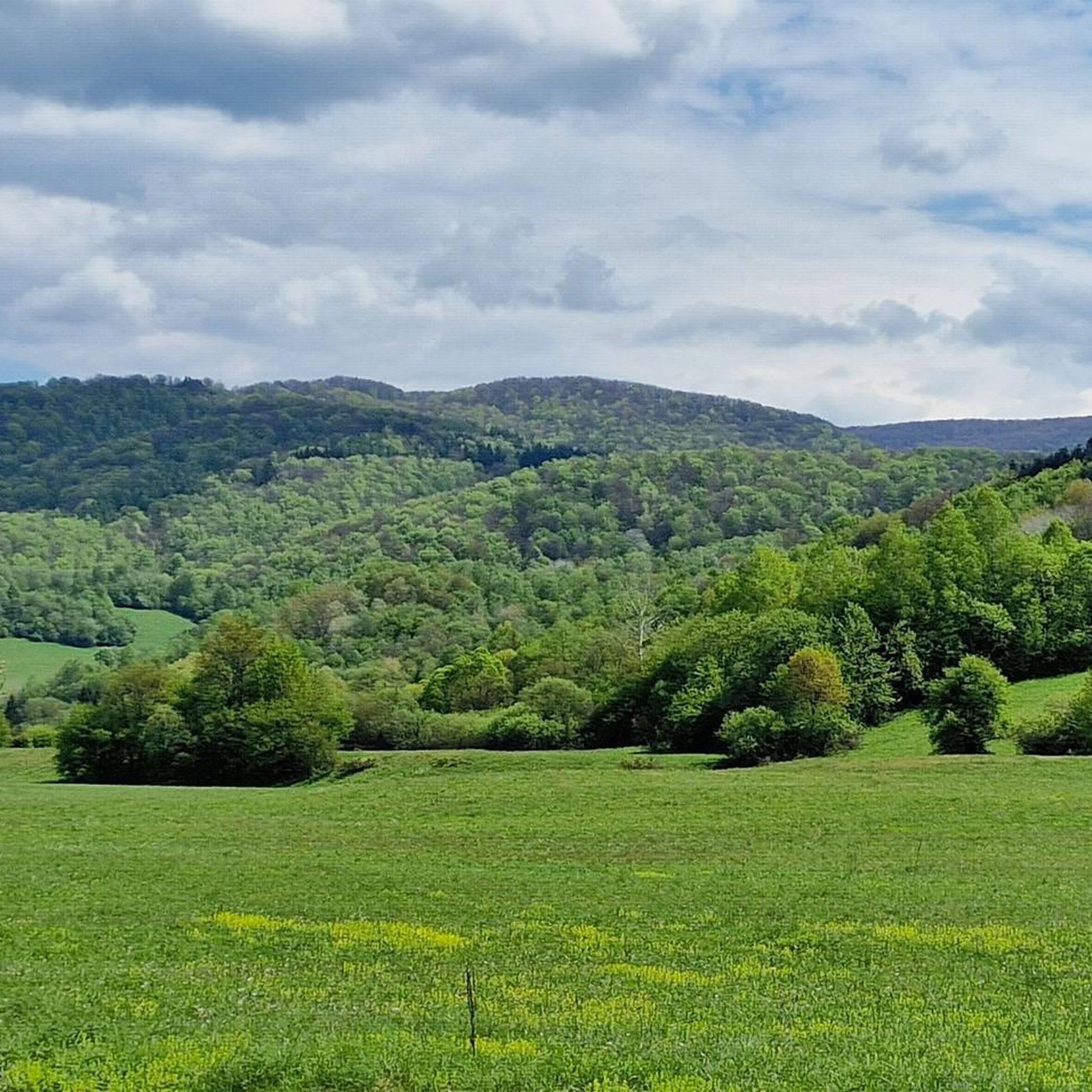

Tips from the Community

A mountain pass at an altitude of 816 meters above sea level between Chryszczata and Jaworne. A nice shelter for resting here – easy and pleasant.
1
0

One of the more pleasant sections of the Great Bieszczady Loop, leading along a local road between Brzegi Góry and the bridge over the San in Dwernik. Good surface, less traffic than on other sections of the loop, leading along provincial roads. Sloping terrain profile and riding along the Dwernik River, running on one side of the road, then the other. The long and pleasant descent ends on a wooden bridge over the San River.
0
0

Wyżna Pass, located at an altitude of 872 m above sea level in the Western Bieszczady Mountains, is one of the most recognizable places in the region. The pass offers a magnificent panorama of Połonina Wetlińska, Połonina Caryńska and Tarnica, the highest peak of the Western Bieszczady Mountains. For road cyclists, it is an attractive point on the Great Bieszczady Loop route, offering well-maintained asphalt roads. There is a large parking lot, a bus stop and an inn on site, making it a convenient place to rest. It is also worth paying attention to the monument dedicated to Jerzy Harasymowicz, a poet associated with the Bieszczady Mountains.
1
0
A viewpoint over the Solinka River and the surrounding hills. If we go about 150 m further east, there is a path leading to a gazebo and benches visible below.
0
0
Almost 9 km of ascent, with a 240 m elevation gain. The average gradient is 2.8%, but the last kilometer is particularly demanding, with a gradient of 7%. The surface is in good condition.
1
0
The ascent to Lipowiec from Baligród is 4.8 km long and has a 210 m elevation gain. The average gradient is 4.6%, but it accumulates in the last 1.5 km of the ascent, where the gradient reaches 9-10%. As a reward for the effort, we will have a great viewpoint at the top.
1
0
The ascent to Przełęcz Wyżna from Wetlina is longer than from Brzegi Górne and has fewer sides. Over a distance of 5.4 km we overcome 210 m of elevation with an average gradient of 4%. The asphalt is of good quality. On the pass there is a restaurant Zajazd u Górala.
1
0
Wyżna Pass can be reached from Brzegi Górne or Wetlina. Coming from Brzegi, we cover 2.4 km and 130 m of elevation and 5.6% average gradient. The climb gradually becomes steeper and flattens out just before the pass. The quality of the surface is satisfactory.
1
0
Frequently Asked Questions
How many road cycling routes are available around Snina?
There are over 20 road cycling routes in the Snina region, offering a variety of experiences for different skill levels. You'll find options ranging from moderate to difficult, characterized by significant elevation changes and mountainous terrain.
Are there any beginner-friendly road cycling routes in Snina?
While the Snina region is known for its challenging terrain, there is at least one route classified as easy. The majority of routes are moderate to difficult, featuring substantial climbs and descents. For a less strenuous option, look for routes with lower elevation gain.
What kind of terrain can I expect on road cycling routes around Snina?
Road cycling around Snina is defined by varied terrain, including mountain passes, challenging climbs, and forested sections. Routes often feature significant elevation changes, offering both demanding ascents and exhilarating descents through mountainous landscapes.
Are there long-distance road cycling routes available?
Yes, Snina offers several long-distance road cycling routes. For example, the Wyżna Pass – Base of the People of the Mist loop from Ustrzyki Górne is 63.2 miles (101.8 km) long, and the Beggar's Pass – Lipowiec climb from Wołkowyja loop from Olszyna Łęgowa w Kalnicy covers 57.3 miles (92.3 km).
What are some challenging road cycling routes with significant elevation gain?
Many routes in Snina feature substantial elevation gain. The Wyżna Pass – Base of the People of the Mist loop from Ustrzyki Górne has over 1480 meters of ascent, and the Lipowiec climb from Wołkowyja – Lipowiec climb from Baligród loop from Olszyna Łęgowa w Kalnicy includes nearly 966 meters of climbing, making them excellent choices for experienced cyclists seeking a challenge.
When is the best time of year for road cycling in Snina?
The best time for road cycling in Snina is typically from late spring to early autumn (May to October). During these months, the weather is generally milder, and mountain passes are clear of snow, providing optimal conditions for tackling the region's varied terrain and enjoying the scenic views.
What kind of scenic viewpoints can I expect along the routes?
The mountainous landscape around Snina offers numerous scenic viewpoints. Routes often provide extensive views of the surrounding Bieszczady Mountains. You might encounter specific viewpoints like the Ruské Sedlo / Przełęcz nad Roztokami Górnymi Lookout Tower or enjoy panoramic vistas from passes such as Wyżna Pass.
Are there circular road cycling routes available in Snina?
Yes, many of the road cycling routes around Snina are designed as loops, allowing you to start and finish at the same point. Examples include the Wyżna Pass – View of Bieszczady Mountains loop from Wetlina and the View of the mountains in Cisna loop from Przysłup.
What natural attractions can I see near the road cycling routes?
While cycling, you can explore several natural attractions. The Starina Reservoir is a prominent feature, and you might also pass by significant summits like Mount Krzemieniec or even a Small Waterfall in Stužica.
What do other road cyclists say about the routes in Snina?
The road cycling routes in Snina are highly rated by the komoot community, with an average score of 5.0 stars from over 8 reviews. Cyclists often praise the challenging climbs, extensive views, and the varied mountainous terrain that defines the region.
Are there any historical or cultural landmarks to see while road cycling?
Beyond natural beauty, you can encounter interesting landmarks. The Krzemieniec Tri-Border Point, where the borders of Poland, Slovakia, and Ukraine meet, is a unique historical and geographical marker that some routes may pass near.
Is there a route that offers views of both mountains and water bodies?
Yes, routes like the Bell tower in Terka – Bridge Below the Solina Dam loop from Krzywe offer a combination of mountainous landscapes and views of the Solina Dam area, providing a diverse visual experience.
Most popular routes around Snina
Most popular attractions around Snina

Get inspired with the komoot mobile app


Didn’t find what you were looking for?
Check out more Road cycling routes throughout Snina below and find the perfect route in your destination.
Explore more
Browse the best Road cycling routes in other regions.
