The best cycling routes around okres Turčianske Teplice
4.3
(3)
203
riders
16
rides
Touring cycling around okres Turčianske Teplice offers diverse landscapes within the Turčianska kotlina valley. The region is surrounded by the Veľká Fatra, Malá Fatra, Žiar, and Kremnické vrchy mountain ranges, providing varied terrain for cyclists. An extensive network of trails caters to different skill levels, featuring both paved and unpaved sections. This area is characterized by its mountainous setting, natural springs, and historical sites.
Best touring cycling routes around okres Turčianske Teplice
- The most popular touring cycling route is Nad…
Last updated: July 2, 2026
20
riders
44.4km
03:22
760m
760m
Hard bike ride. Very good fitness required. Mostly paved surfaces. Suitable for all skill levels.
18
riders
47.0km
03:07
690m
690m
Hard bike ride. Very good fitness required. Mostly paved surfaces. Suitable for all skill levels.

Sign up for free
15
riders
14.7km
01:30
390m
390m
Hard bike ride. Good fitness required. You may need to push your bike for some segments of this route.
16
riders
61.0km
05:40
1,460m
1,460m
Hard bike ride. Very good fitness required. Mostly paved surfaces. Suitable for all skill levels.
5.0
(1)
10
riders
67.4km
04:24
850m
850m
Hard bike ride. Very good fitness required. Mostly paved surfaces. Suitable for all skill levels.
9
riders
35.2km
03:47
1,140m
1,140m
Hard bike ride. Very good fitness required. Mostly paved surfaces. Suitable for all skill levels.
9
riders
31.3km
02:19
560m
560m
Hard bike ride. Very good fitness required. Mostly paved surfaces. Suitable for all skill levels.
3.0
(1)
7
riders
19.0km
01:36
440m
440m
Moderate bike ride. Good fitness required. Mostly paved surfaces. Suitable for all skill levels.
7
riders
19.9km
01:40
510m
510m
Hard bike ride. Very good fitness required. Mostly paved surfaces. Suitable for all skill levels.
8
riders
22.4km
02:21
610m
610m
Hard bike ride. Very good fitness required. Mostly paved surfaces. Suitable for all skill levels.
Get access to more routes and recommendations from other explorers.
Sign up for free
Already have an account?
Our route recommendations are based on thousands of hikes, rides, and runs completed by other people on komoot.
Start today with a free account
Your next adventure awaits.
Login or Signup
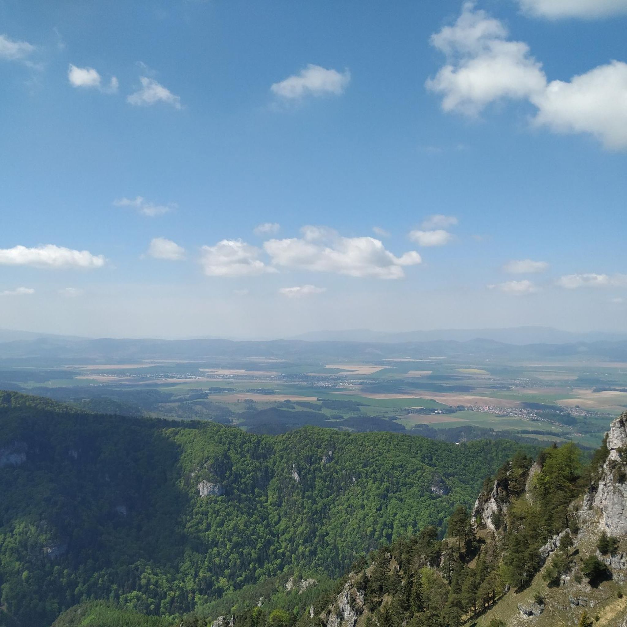
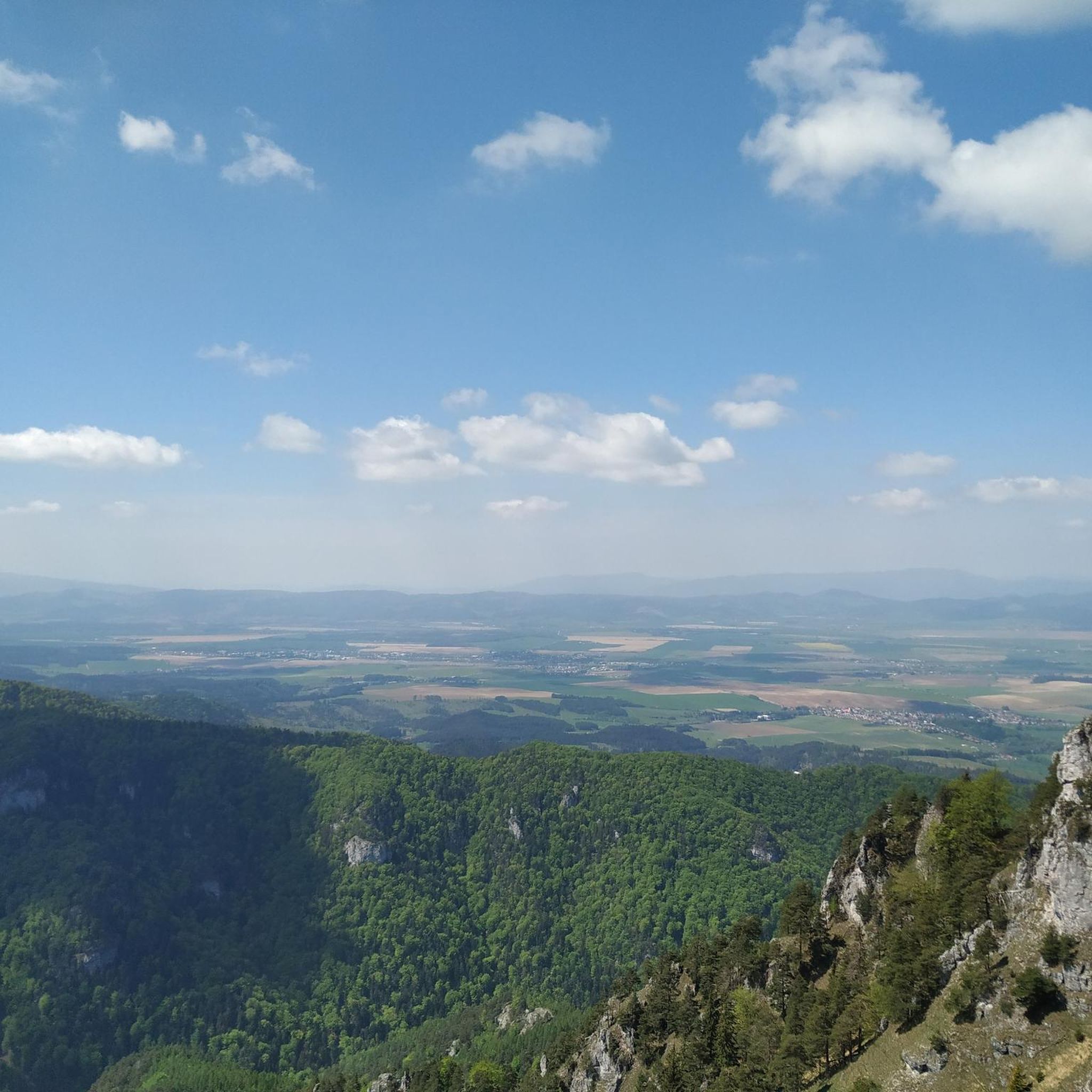
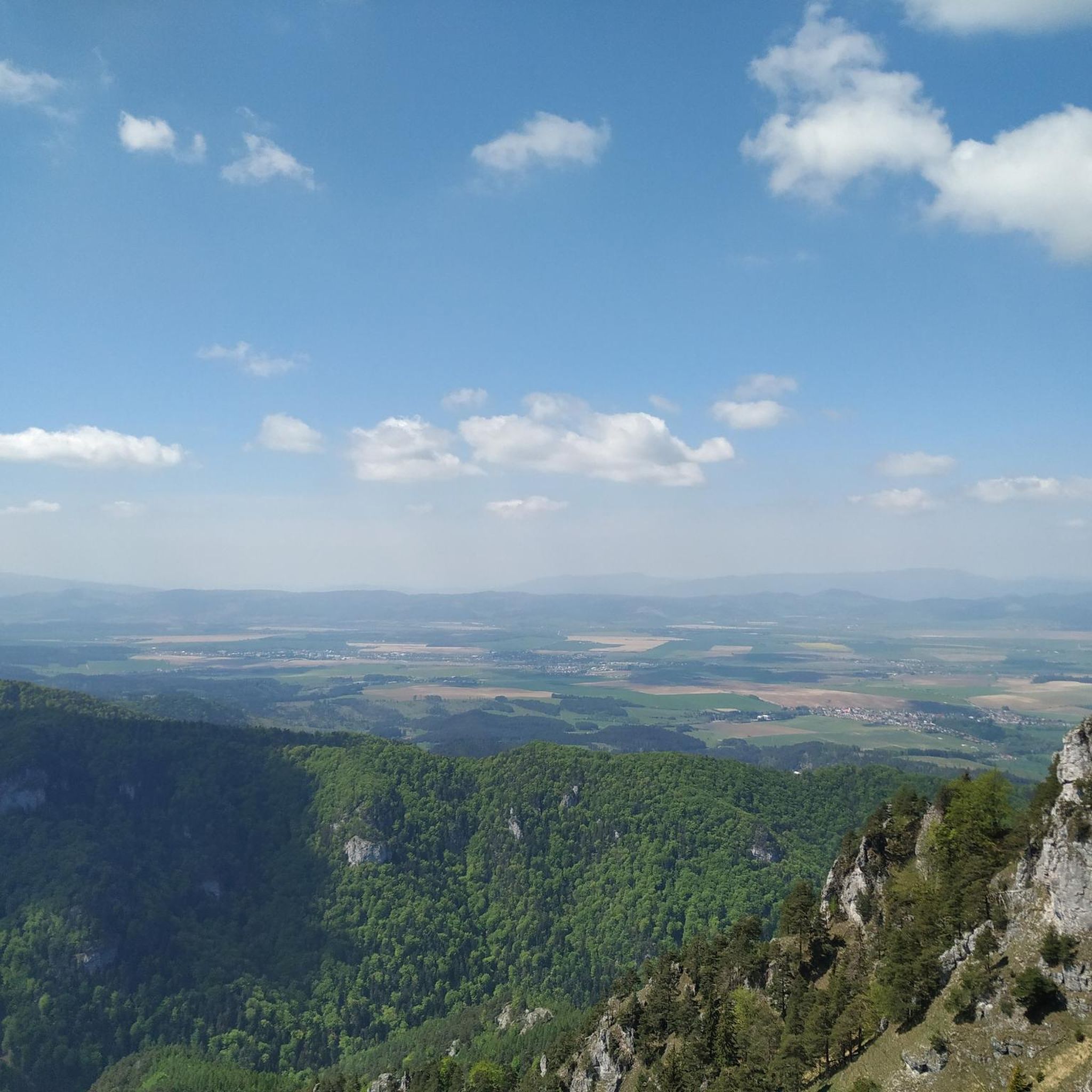
Tips from the Community

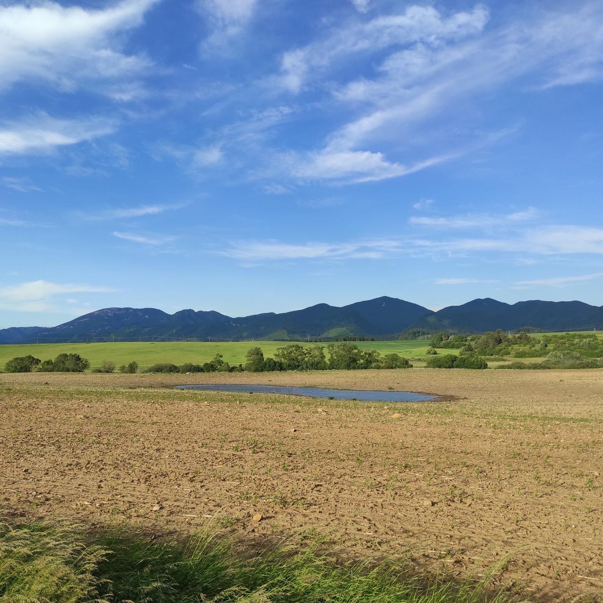
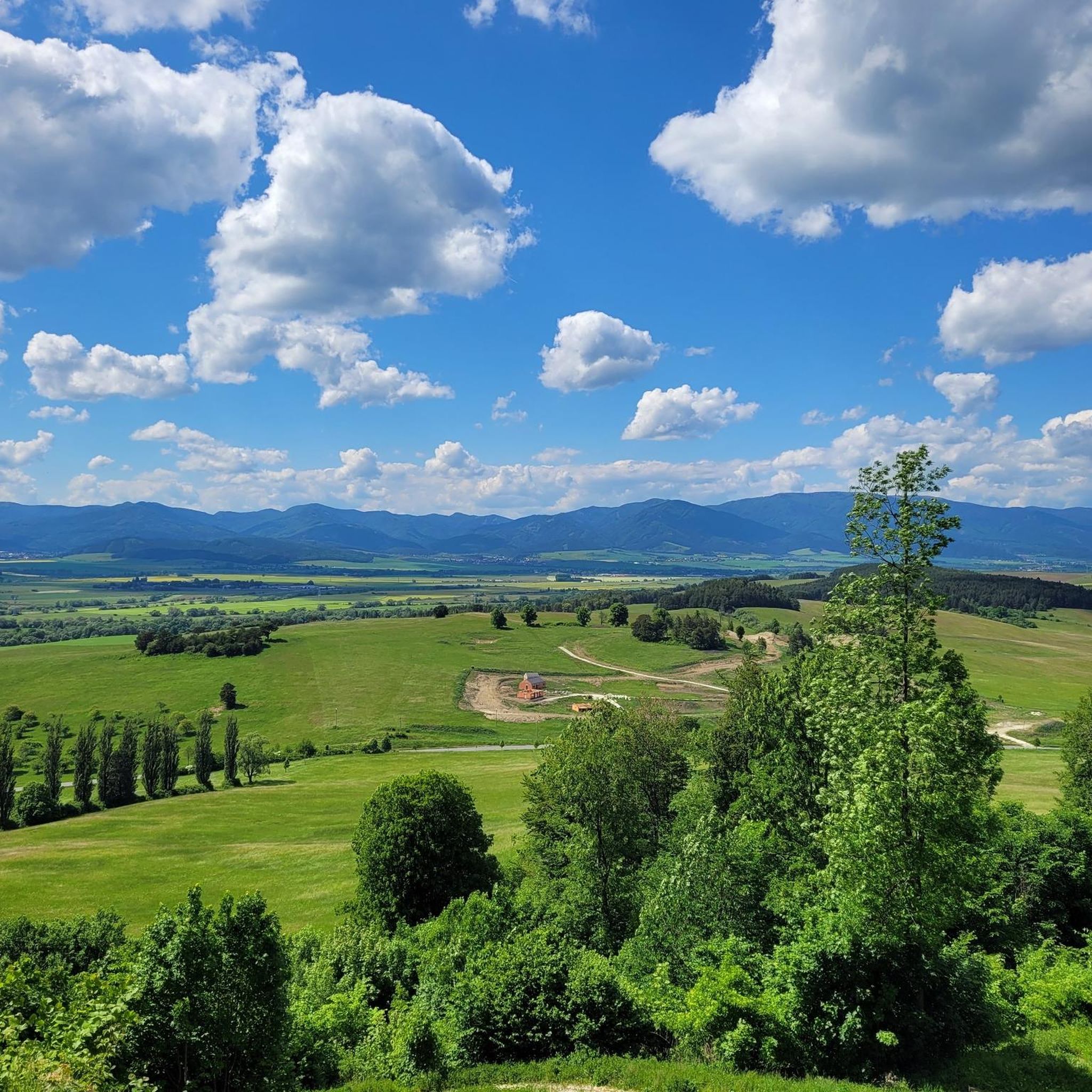
No matter which direction you go - you will be satisfied!
0
0
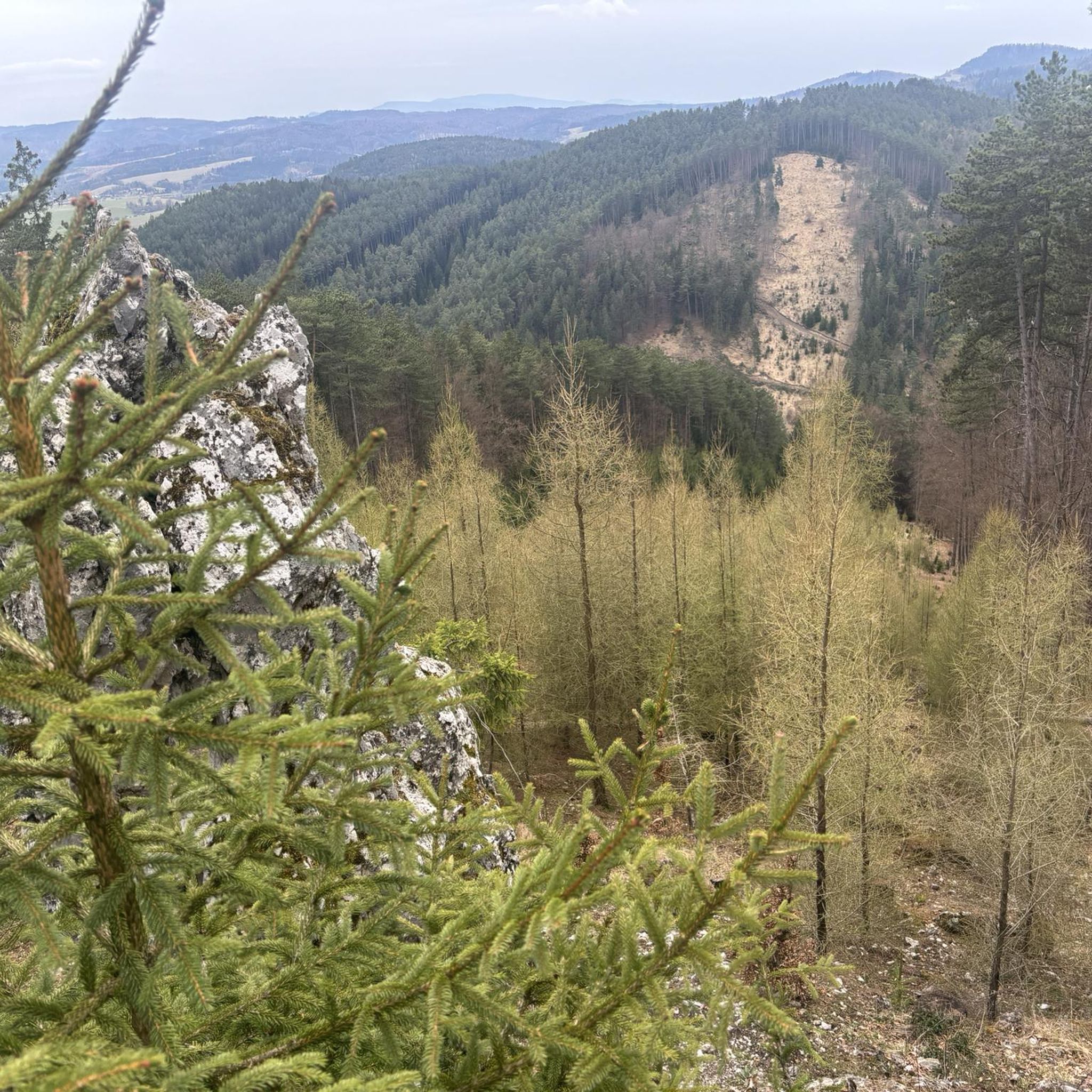
A quarry where you can see how rocks are obtained
0
0
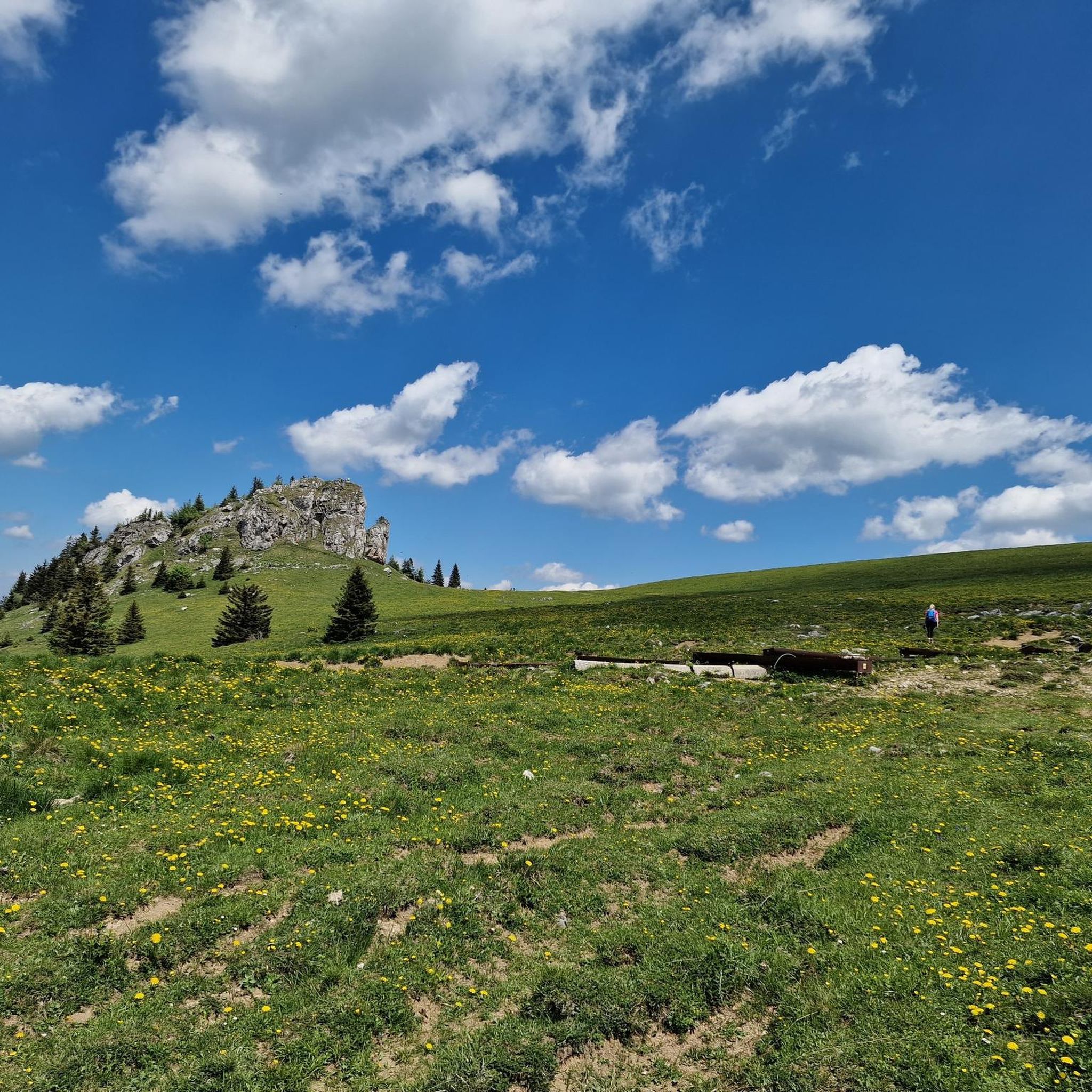
You can get fresh water nearby.
0
0
This is where the ride through the park begins.
0
0
No matter which direction you go - you will be satisfied!
0
0

Not ideal for cycling, but good for walking
0
0
Different trail thru the mountains. Be careful of the bears
0
0
Frequently Asked Questions
What kind of terrain can I expect on touring cycling routes in okres Turčianske Teplice?
The region is nestled in the picturesque Turčianska kotlina valley, surrounded by the Veľká Fatra, Malá Fatra, Žiar, and Kremnické vrchy mountain ranges. This means you'll encounter diverse landscapes, from valley floors to significant ascents. Routes often feature a mix of quiet roads, main roads, and tracks, with both paved and unpaved sections. Expect varied terrain suitable for road, cross, and mountain bikes.
Are there any easy or moderate touring cycling routes for beginners or those seeking a relaxed ride?
While many routes in the area are rated difficult due to significant elevation gain, there are options for moderate rides. For example, the Suchý Vrch – Malachovský Waterfall loop from Podlavické výmole is a moderate 19.0 km route that takes approximately 1 hour 36 minutes. This route offers a less strenuous option while still allowing you to experience the region's beauty.
What are some of the longer touring cycling routes in the area?
For those looking for longer rides, the Nováky – Kanianka Reservoir loop from Pravenec covers approximately 67.4 km with substantial elevation, typically taking around 4 hours 24 minutes. Another challenging option is the Krížna Ascent – Krížna Peak loop from Diviaky, which is about 60.7 km long and can take over 5 hours 30 minutes to complete.
Can I find circular touring cycling routes in okres Turčianske Teplice?
Yes, many of the touring cycling routes in the region are designed as loops, allowing you to start and end at the same point. Examples include the popular Nad Ráztočnom Junction – Quarry loop from Prievidza (44.4 km) and the Bike loop from Kremnica (47.0 km). These loops offer a convenient way to explore the diverse landscapes without needing to retrace your steps.
What natural features or landmarks can I see along the touring cycling routes?
The region is rich in natural beauty and historical sites. You can cycle through the picturesque Turčianska kotlina valley, surrounded by prominent mountain ranges like Veľká Fatra and Malá Fatra. Keep an eye out for natural springs, such as the famous mineral water spring in Budiš. While cycling, you might also encounter historical landmarks like the ruins of Blatnica Castle or Zniev Castle, offering glimpses into the region's past.
What do other touring cyclists enjoy most about cycling in okres Turčianske Teplice?
The komoot community highly rates the touring cycling experience in okres Turčianske Teplice, with an average score of 4.3 stars. Cyclists often praise the diverse landscapes, the challenge of the mountain ranges, and the opportunity to explore both natural springs and historical sites. The variety of routes, from moderate to difficult, is also appreciated, catering to different fitness levels.
Are there any specific routes that lead to waterfalls?
Yes, the Suchý Vrch – Malachovský Waterfall loop from Podlavické výmole is a moderate 19.0 km route that will take you towards the Malachovský Waterfall. While the famous Šútovský vodopád is in the nearby Malá Fatra National Park and typically accessed via a hike, this route offers a cycling-friendly option to experience a waterfall in the region.
What is the best season for touring cycling in okres Turčianske Teplice?
The best time for touring cycling in okres Turčianske Teplice is generally from spring through autumn. During these seasons, the weather is more favorable, and the natural landscapes are at their most vibrant. The diverse terrain, including both paved and unpaved sections, is typically more accessible and enjoyable without snow or ice.
Are there any routes suitable for families with children?
While many routes in the region are rated difficult, families looking for a less challenging ride might consider shorter, moderate options. The Suchý Vrch – Malachovský Waterfall loop from Podlavické výmole, at 19.0 km and moderate difficulty, could be suitable for families with older children or those accustomed to cycling. Always check the route's elevation profile and surface analysis on komoot for suitability.
Where can I find parking for touring cycling routes in okres Turčianske Teplice?
Many touring cycling routes in the region start from towns or villages where public parking is available. For example, routes like the Hradisko na Žiari loop from Podlavické výmole or the Mountain Forest Trail – Banská Bystrica loop from Podlavické výmole often have starting points near residential areas or trailheads where you can find suitable parking. It's always advisable to check local parking regulations before your ride.
Are there any routes that offer views of the surrounding mountain ranges?
Absolutely. The region is encircled by the Veľká Fatra, Malá Fatra, Žiar, and Kremnické vrchy mountain ranges, so many routes offer panoramic views. For instance, the Bike loop from Kremnica includes substantial ascents that provide excellent vistas of the surrounding peaks. Routes with higher elevation gains, such as the Lopúchový vrch – Mýtny vrch loop from Skalka, are also likely to offer scenic viewpoints.
Can I access touring cycling routes using public transport in okres Turčianske Teplice?
Public transport options, such as regional buses or trains, can often connect you to towns and villages that serve as starting points for touring cycling routes. Turčianske Teplice itself is a central hub. While specific routes may not have direct public transport stops at their exact start, you can typically reach a nearby settlement and cycle to the trailhead. Always check local public transport schedules and bike carriage policies in advance.
Most popular routes around okres Turčianske Teplice

Get inspired with the komoot mobile app


Didn’t find what you were looking for?
Check out more Cycling routes throughout okres Turčianske Teplice below and find the perfect route in your destination.
Explore more
Browse the best Cycling routes in other regions.
