The best walks and hikes around Žiri
4.3
(102)
998
hikers
56
hikes
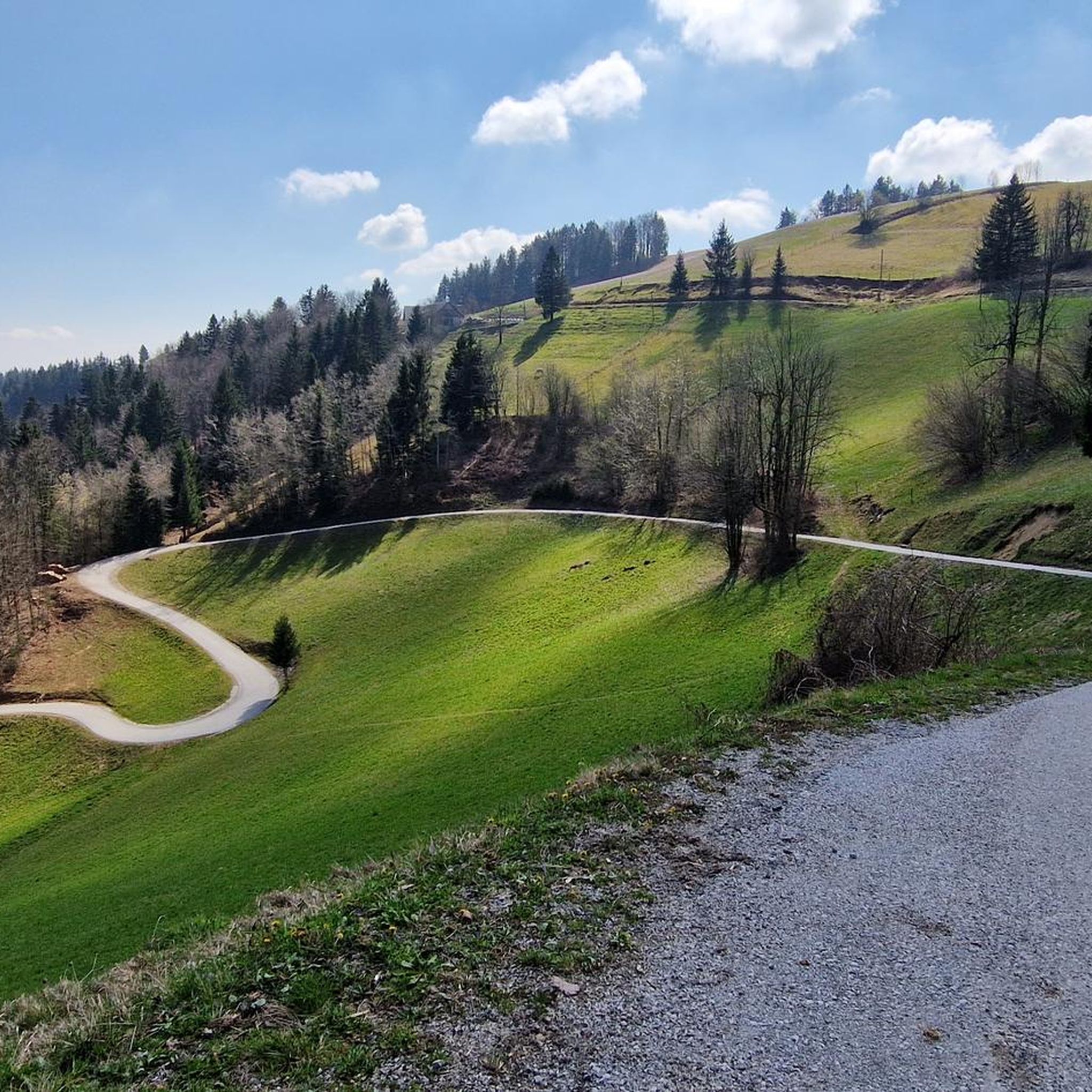
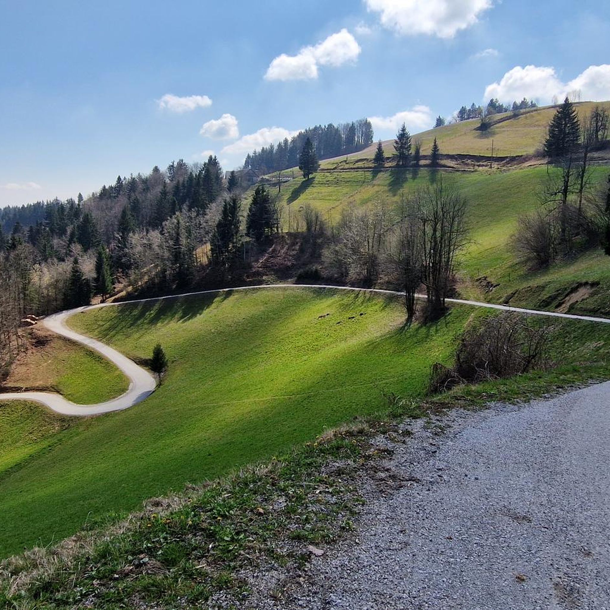
Hiking around Žiri, Slovenia, offers a diverse landscape characterized by rolling hills, forested areas, and open meadows in the Upper Carniola region. The terrain includes moderate ascents and descents, providing varied experiences for hikers. This area features numerous trails that traverse both natural and cultural points of interest. There are more than 50 hiking trails available, ranging from easy walks to more challenging routes.
Best hiking trails around Žiri
- The most popular hiking route is Mrzlik Mountain Hut – Crocus Meadow loop from Žiri, a 9.0 miles (14.6 km) trail that takes 4 hours 35 minutes to complete. This moderate route leads through varied landscapes including a mountain hut and a crocus meadow.
- Another top favourite among local hikers is Church of the Three Kings, Vrh loop from Mali Smrekovec, an easy 3.2 miles (5.2 km) path. This trail features gentle gradients and passes by a historic church.
- Local hikers also love the View of Hotavlje Valley loop from Gorenja vas-Poljane, a 4.7 miles (7.7 km) trail leading through forested hills and offering views of the Hotavlje Valley, often completed in about 2 hours 41 minutes.
- Hiking around Žiri is defined by its mix of forested hills, open meadows, and scenic valleys. The network offers options for easy, moderate, and difficult routes, catering to various ability levels.
- The routes in Žiri are highly rated by the komoot community with an average score of 4.3 stars from nearly 100 reviews. More than 900 hikers have used komoot to explore Žiri's varied terrain.
Last updated: July 5, 2026
4.0
(3)
18
hikers
14.6km
04:36
560m
560m
Moderate hike. Good fitness required. Easily-accessible paths. Suitable for all skill levels.
5.0
(3)
12
hikers
5.22km
01:34
160m
160m
Easy hike. Great for any fitness level. Easily-accessible paths. Suitable for all skill levels.

Sign up for free
12
hikers
7.47km
02:37
410m
410m
Moderate hike. Good fitness required. Easily-accessible paths. Suitable for all skill levels.
12
hikers
11.4km
03:49
540m
540m
Moderate hike. Good fitness required. Easily-accessible paths. Suitable for all skill levels.
4.5
(2)
6
hikers
9.59km
02:57
340m
350m
Moderate hike. Good fitness required. Easily-accessible paths. Suitable for all skill levels.
5
hikers
10.5km
03:12
350m
350m
Moderate hike. Good fitness required. Easily-accessible paths. Suitable for all skill levels.
10
hikers
5.68km
01:52
260m
260m
Easy hike. Great for any fitness level. Easily-accessible paths. Suitable for all skill levels.
4
hikers
17.3km
05:40
750m
750m
Hard hike. Very good fitness required. Easily-accessible paths. Suitable for all skill levels.
5.0
(2)
2
hikers
14.5km
04:42
590m
590m
Moderate hike. Good fitness required. Easily-accessible paths. Suitable for all skill levels.
5.0
(1)
6
hikers
4.83km
01:31
190m
190m
Easy hike. Great for any fitness level. Easily-accessible paths. Suitable for all skill levels.
Get access to more routes and recommendations from other explorers.
Sign up for free
Already have an account?
Our route recommendations are based on thousands of hikes, rides, and runs completed by other people on komoot.
Start today with a free account
Your next adventure awaits.
Login or Signup

Tips from the Community

Divje jezero is a karst siphon lake (Vaucluse spring), located approximately 2 km south of Idrija. The type of karst spring - Vaucluse spring is named after the Fontaine-de-Vaucluse spring in the Vaucluse region of Provence in southern France, east of Avignon. Springs of this type are characterized by the fact that water flows to the surface from great depths under pressure through steep channels. The lake lies in a stone cauldron under the hundred-meter cliffs that border this northern edge of the Črnovrška plateau. Divje jezero is also a karst spring, as water flows into the lake from a steeply descending trench, which has been explored to a depth of 160 m so far. Although the lake surface is usually calm, after heavy rains there can be strong eruptions of water, up to 60 m³/s. The Jezernica River flows from Divje Jezero, which is the shortest surface-flowing river in Slovenia and flows into the Idrijca River after 55 meters. The water temperature in the lake fluctuates only between 7 and 10 °C throughout the year. The lake was protected as a natural monument in 1967 and since 1972 has been arranged for visitors as the first Slovenian open-air museum.
0
0
The Path of the Idrija Naturalists – The path of the Idrija Naturalists leads along the left bank of the Idrijca River. At the end of the 16th century, the Idrijca River was dammed at Kobila and the first rakes were built – a water channel that was initially led to the city center. Today, it only runs from the dam at Kobila to the kamšta. Initially, the rakes were made of wood, but in 1776 they were walled in stone. It is no secret that the rakes were built for the needs of the Mercury Mine. Today, the mercury heritage of the two largest mercury mines in the world, in Almadén and Idrija, is inscribed on the UNESCO World Heritage List. For centuries, the water flow from the rakes powered the kamšta mining equipment, which pumped cave water and lifted ore. The last kamšta, which is still preserved, was built in 1790 and operated continuously for 160 years. It pumped 300 liters of water per minute from a depth of 283 m.
1
0
The Idrija Kamšt is a pumping device in the Idrija mercury mine with the largest wooden wheel in Europe. Kamšt is the mining name for a water-powered pump for pumping cave water, typical of Idrija. The name comes from the German word "Kunst" (art). In the past, there were several Kamšts in Idrija, but only the largest of them has survived, which pumped water from the Jožef shaft. It was built in 1790, and the diameter of the wheel measures 13.6 meters. The wheel was connected to a 75-meter-long horizontal wooden frame. The horizontal movement was transmitted to a vertical wooden pole, which was connected to step-by-step piston pumps. In one minute, the Kamšt pumped up to 400 liters of water, first from a depth of 235 m, and later even from a depth of 283 m. Due to its efficient pumping, it operated until 1953, i.e. for 163 years. The driving water flowed through a special canal called Rake, 3.5 km long, which was built around 1600 for the supply of driving water. The power of the Kamšti was between 75 and 100 horsepower, and the wheel took 13 seconds to make one revolution.
0
0

A solitary rock above has always been a fascinating sight for hikers, especially because of the depression on the top of the rock, which resembles a human footprint. Folk tales tell two interesting stories that give the rock its name. Both are connected to the Turkish raids at the beginning of the 16th century, when a mercury mine was in operation in Idrija.
0
0
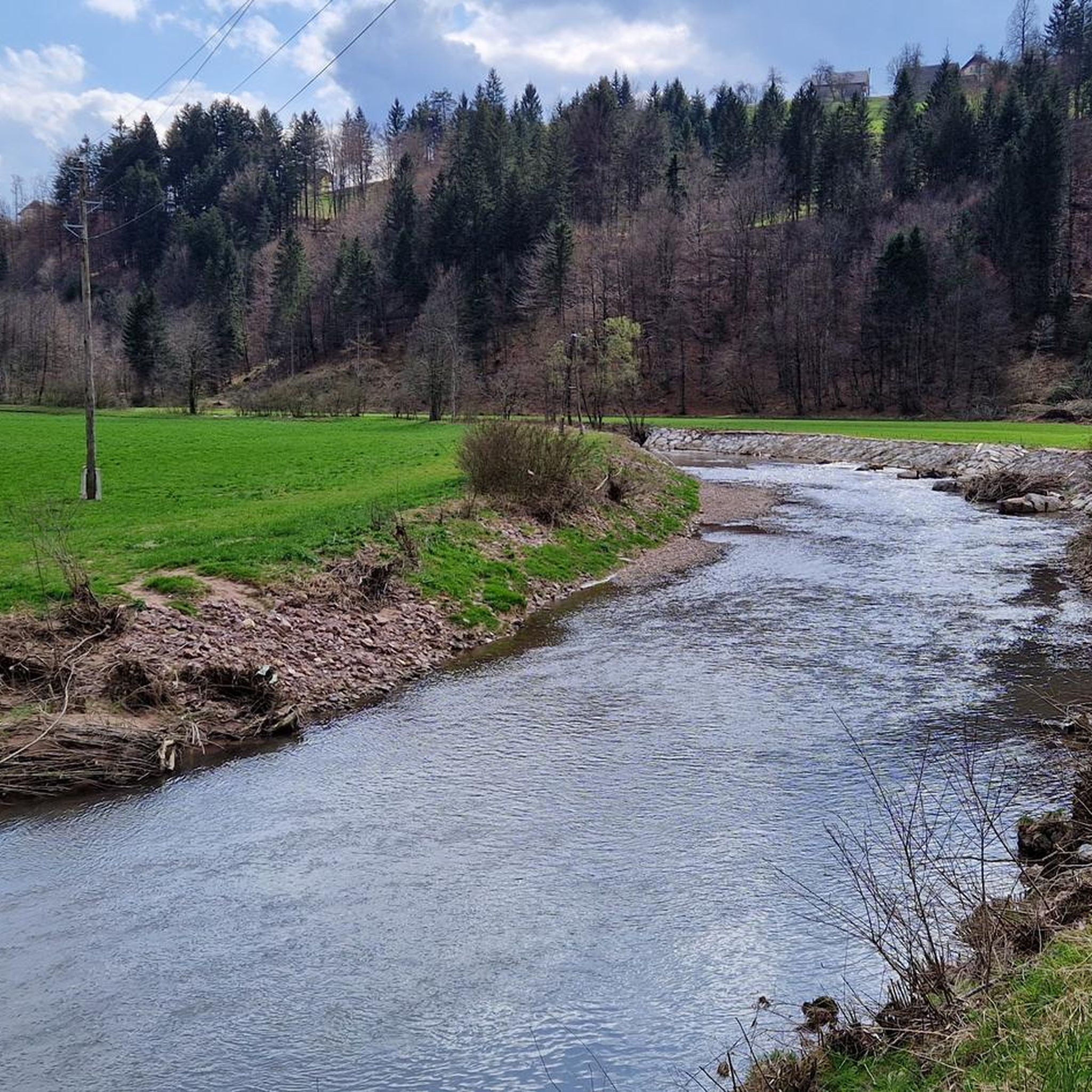
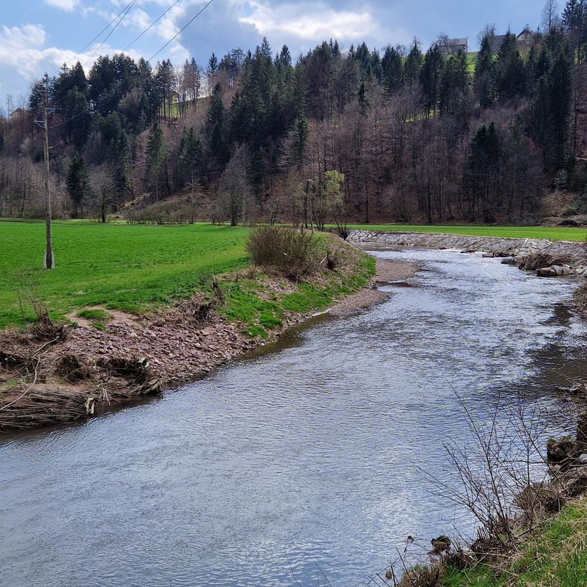
A bridge over the Idrijca River. The water has an interesting color: emerald green.
0
0

Beautiful hut at an altitude of 957 meters. Information about opening hours and facilities can be found here: https://www.pzs.si/koce.php?pid=352.
1
0

I recommend a visit by bike or on foot. The lake is truly beautiful but at the same time eerie, as we do not know its exact depths. The shortest river, Jezernica, flows out of it, which flows into the Idrijca after a few meters. You start at one of the larger parking lots in Idrija, from where it is about 3km to Divje Jezera. An ideal starting point also for those who visit the city with a camper. On the way to the lake (if we pay attention), we can see the remains of the Italian caves and bunkers.
0
0

Frequently Asked Questions
How many hiking trails are there in Žiri?
Žiri offers a wide selection of hiking opportunities, with over 50 trails available. These range from easy strolls to more challenging routes, catering to various fitness levels.
Are there easy hiking trails suitable for beginners or families in Žiri?
Yes, Žiri has several easy trails perfect for beginners or families. For example, the Church of the Three Kings, Vrh loop from Mali Smrekovec is an easy 3.2-mile (5.2 km) path featuring gentle gradients and passing by a historic church. Another accessible option is the Church of the Three Kings, Vrh loop from Praprotno Brdo.
What kind of terrain can I expect on hikes around Žiri?
The terrain around Žiri is characterized by rolling hills, dense forested areas, and open meadows. You'll encounter moderate ascents and descents, providing a varied hiking experience through the Upper Carniola region.
Are there many circular hiking routes in Žiri?
Many of the trails in Žiri are designed as circular routes, allowing you to start and end at the same point. Examples include the popular Mrzlik Mountain Hut – Crocus Meadow loop from Žiri and the scenic View of Hotavlje Valley loop from Gorenja vas-Poljane.
What is the best time of year to go hiking in Žiri?
Spring and autumn are generally ideal for hiking in Žiri, offering pleasant temperatures and beautiful scenery. Spring brings blooming crocus meadows, while autumn showcases vibrant fall foliage. Summer is also popular, though some trails might be warmer. Winter hiking is possible, especially on lower elevation trails, but requires appropriate gear for snow and ice.
Are there any longer, more challenging hikes for experienced hikers?
Yes, for those seeking a greater challenge, Žiri offers more demanding routes. The Crocus Meadow loop from Sovodenj is a difficult 10.8-mile (17.4 km) trail with significant elevation gain, providing a rewarding experience for experienced hikers.
What do other hikers enjoy the most about hiking in Žiri?
The hiking trails in Žiri are highly rated by the komoot community, with an average score of 4.3 stars. Hikers often praise the diverse landscapes, including quiet woodlands, open meadows, and scenic valleys, as well as the well-maintained paths and the opportunity to discover cultural points of interest.
Are dogs allowed on the hiking trails in Žiri?
Generally, dogs are welcome on hiking trails in Slovenia, including around Žiri, provided they are kept on a leash and owners clean up after them. Always be mindful of local regulations, especially in protected natural areas or near livestock.
Where can I find parking for hiking trails in Žiri?
Parking is typically available at trailheads or near popular starting points in and around Žiri and its surrounding villages. Specific parking information can often be found on individual route descriptions or local tourist information boards.
Can I reach hiking trails in Žiri using public transport?
While Žiri itself has some public transport connections, access to specific trailheads outside the main town might be limited. It's advisable to check local bus schedules in advance if you plan to rely on public transport to reach your desired starting point.
Are there places to eat or drink near the hiking trails?
Depending on the specific trail, you might find mountain huts (like the Mrzlik Mountain Hut mentioned in one route) or small eateries in nearby villages. It's always a good idea to carry sufficient water and snacks, especially on longer routes, and check for available services along your chosen path.
Are there any interesting natural or historical sights along the trails?
Yes, many trails in Žiri pass by points of interest. For instance, the Church of the Three Kings, Vrh loop from Mali Smrekovec takes you past a historic church. The region's landscape itself, with its crocus meadows and views of valleys like Hotavlje, offers natural beauty.
Most popular routes around Žiri

Get inspired with the komoot mobile app


Explore more
Browse the best Hikes in other regions.
