The best walks and hikes around Miren-Kostanjevica
4.5
(2833)
15,349
hikers
39
hikes
Hiking around Miren-Kostanjevica offers diverse landscapes, combining the fertile Vipava Valley with the rugged Karst Plateau. The region features varied topography, from riverside paths to rocky karst terrain with sinkholes and chasms. This geological diversity provides varied hiking environments, including areas with traditional dry-stone walls and natural wells. A significant portion of the municipality is under Natura 2000 protection, highlighting its natural environment.
Best hiking trails around Miren-Kostanjevica
- The most popular hiking route is Trstelj Summit (643 m) – Trstelj Summit loop from Miren-Kostanjevica, a 5.0 miles (8.1 km) trail that takes 2 hours 31 minutes to complete. This moderate route ascends to the summit of Trstelj, offering expansive views.
- Another top favourite among local hikers is View from Kremenjak (235 m) – View of the Gulf of Monfalcone loop from Sela na Krasu, an easy 3.9 miles (6.3 km) path. This trail provides views of the Gulf of Monfalcone from Kremenjak hill.
- Local hikers also love the Cerje Peace Monument loop from Lokvica, an 8.1 miles (13.0 km) trail leading through the Karst Plateau, often completed in about 3 hours 42 minutes.
- Hiking around Miren-Kostanjevica is defined by the distinct Karst Plateau, fertile Vipava Valley, and historical sites like the Cerje Peace Monument. The network offers options for different ability levels, from easy walks to more challenging ascents.
- The routes in Miren-Kostanjevica are highly rated by the komoot community with an average score of 4.5 stars from more than 2,700 reviews. More than 15,000 hikers have used komoot to explore Miren-Kostanjevica's varied terrain.
Last updated: July 6, 2026
4.2
(5)
43
hikers
8.32km
02:32
270m
270m
Moderate hike. Good fitness required. Easily-accessible paths. Suitable for all skill levels.
4.2
(6)
27
hikers
Easy hike. Great for any fitness level. Easily-accessible paths. Suitable for all skill levels.

Sign up for free
4.8
(5)
16
hikers
13.0km
03:43
310m
310m
Hard hike. Good fitness required. Sure-footedness, sturdy shoes and alpine experience required.
36
hikers
3.24km
01:18
250m
250m
Easy hike. Great for any fitness level. Easily-accessible paths. Suitable for all skill levels.
4.6
(8)
30
hikers
17.8km
05:16
520m
520m
Hard hike. Very good fitness required. Sure-footedness, sturdy shoes and alpine experience required.
4.5
(4)
26
hikers
Moderate hike. Good fitness required. Easily-accessible paths. Suitable for all skill levels.
4.4
(5)
15
hikers
7.65km
02:13
190m
190m
Hard hike. Good fitness required. Sure-footedness, sturdy shoes and alpine experience required.
5.0
(2)
11
hikers
7.32km
02:11
230m
230m
Moderate hike. Good fitness required. Easily-accessible paths. Suitable for all skill levels.
5.0
(1)
12
hikers
4.47km
01:25
180m
180m
Easy hike. Great for any fitness level. Easily-accessible paths. Suitable for all skill levels.
4.7
(3)
14
hikers
5.78km
01:50
240m
240m
Easy hike. Great for any fitness level. Easily-accessible paths. Suitable for all skill levels.
Get access to more routes and recommendations from other explorers.
Sign up for free
Already have an account?
Our route recommendations are based on thousands of hikes, rides, and runs completed by other people on komoot.
Start today with a free account
Your next adventure awaits.
Login or Signup

Other adventures around Miren-Kostanjevica

Tips from the Community

The location isn't the summit, but a refuge located just below. The manager is friendly and approachable; a visit is recommended.
0
0

A nostalgic sign that has stood the test of time, made up of dry stone walls made of karst stone.
0
0

Along the military road, which was built during World War I, there is a monument or signpost in honor of the commander of the then 7th Austro-Hungarian Corps, Archduke Joseph. A "chair" carved into the rock is also placed next to the monument, dedicated to the commander of the then 5th Austro-Hungarian Army, Svetozar Boroević von Bojna.
0
0

Nice mountain hut, you can eat some tipical slovenian dishes and have a cold beer or a warm tea
1
0
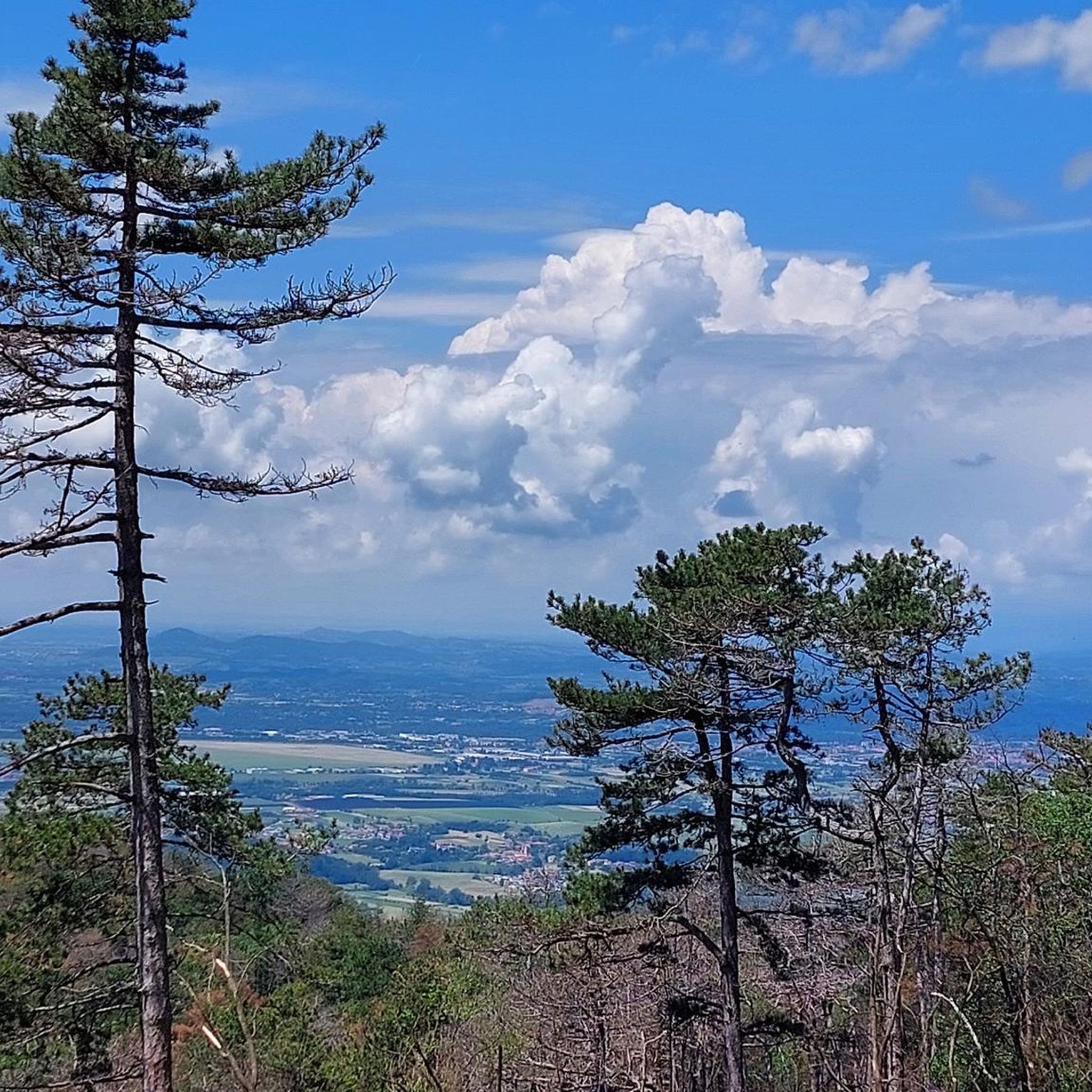
Panoramic view of the Gulf of Panzano.
1
0
Memorial stone in memory of the irredentist of Greek origins Spiro Tipaldo Xydias, born in Trieste and then emigrated to Rome where he volunteered for the army, falling on Nad Logem.
0
0
Frequently Asked Questions
How many hiking trails are available in Miren-Kostanjevica?
Miren-Kostanjevica offers a comprehensive network of over 40 hiking trails. These routes cater to various fitness levels, with 13 easy, 15 moderate, and 12 difficult options to explore the diverse landscapes of the Vipava Valley and Karst Plateau.
What kind of terrain can I expect on hikes in Miren-Kostanjevica?
The region features highly diverse terrain. You can expect fertile landscapes in the Vipava Valley with riverside paths, fields, and orchards, contrasting sharply with the rugged Karst Plateau to the south. The Karst areas are characterized by rocky terrain, traditional dry-stone walls, sinkholes, and deep chasms. Trails wind through vineyards, olive groves, and forests.
Are there easy hiking trails suitable for beginners or families?
Yes, Miren-Kostanjevica has 13 easy hiking trails perfect for beginners or families. An example is the View from Kremenjak (235 m) – View of the Gulf of Monfalcone loop from Sela na Krasu, which is an easy 3.9-mile path offering scenic views. The region's diverse topography ensures there are gentle walks suitable for all.
Are there any challenging hikes for experienced trekkers?
Yes, for experienced trekkers, there are 12 difficult routes available. One such challenging option is the Cerje Peace Monument loop from Lokvica, an 8.1-mile trail leading through the Karst Plateau, often completed in about 3 hours 42 minutes. Another difficult route is the Cerje Monument loop from Miren-Kostanjevica, covering 4.7 miles with significant elevation.
What natural features or landmarks can I see while hiking?
Hikers can discover a wealth of natural features and historical landmarks. The Karst Plateau is known for its unique karst sinkholes, deep chasms, and traditional dry-stone walls. You might also encounter natural wells, which are vital water sources. Prominent landmarks include the Cerje Peace Monument, which also serves as an observation tower, and the summit of Trstelj, offering expansive views.
Are there any trails with panoramic views?
Absolutely. Several elevated points in Miren-Kostanjevica offer breathtaking panoramic views. The summit of Trstelj (643 meters) provides expansive vistas of the Slovenian Karst, the Gulf of Trieste, the Vipava Valley, and the Gorizia Collio. Similarly, the Cerje Peace Monument offers spectacular 360-degree views stretching across the northern Adriatic Sea, the Friulian lands, the Dolomites, the Julian Alps, and the Vipava Valley.
What kind of wildlife might I encounter on the trails?
The Miren-Kostanjevica area is noted for its rich biodiversity, with a significant portion under Natura 2000 protection. While hiking, you might encounter various animals, including does, a variety of birds, bees, and butterflies, especially around water sources and in the diverse karst flora.
Are there any historical sites along the hiking routes?
Yes, the region is rich in history, particularly from World War I. Many trails lead past battlefields, military cemeteries, and remnants of old military railways. The Cerje Peace Monument is a significant memorial. You can also explore prehistoric sites like ancient stone walls of a Bronze/Iron Age fort near Volčji Grad, and the Russian Cave (Ruska Jama), which housed Russian prisoner-of-war laborers during WWI.
Are there circular hiking routes in the area?
Many of the hiking routes in Miren-Kostanjevica are designed as loops, allowing you to start and end at the same point. For example, the Trstelj Summit (643 m) – Trstelj Summit loop from Miren-Kostanjevica is an 8.1 km circular trail, and the View from Trstelj – Trstelj Summit loop from Opatje selo is a longer 16.6 km loop.
What do other hikers enjoy most about Miren-Kostanjevica?
The hiking experience in Miren-Kostanjevica is highly rated by the komoot community, with an average score of 4.5 stars from over 2,700 reviews. Hikers frequently praise the region's diverse landscapes, from the fertile Vipava Valley to the rugged Karst Plateau, and the well-maintained trails that offer both natural beauty and historical insights. The panoramic views from points like Trstelj and the Cerje Peace Monument are also highly appreciated.
Is public transport available to reach the trailheads?
While specific public transport options directly to every trailhead may vary, Miren-Kostanjevica is generally accessible. It's advisable to check local bus schedules or regional transport services for connections to the main towns or villages near your chosen starting point. Many trails are accessible from central locations within the municipality.
Where can I find parking for hiking trails?
Parking is typically available near popular trailheads and attractions throughout Miren-Kostanjevica. For instance, routes starting from Miren-Kostanjevica, Lokvica, Sela na Krasu, or Opatje selo usually have designated parking areas. It's recommended to check specific route details or local signage upon arrival for the most convenient parking spots.
Most popular routes around Miren-Kostanjevica
Most popular attractions around Miren-Kostanjevica

Get inspired with the komoot mobile app


Explore more
Browse the best Hikes in other regions.
