The best running trails around Radlje Ob Dravi
4.4
(9)
500
runners
62
runs
Jogging routes around Radlje Ob Dravi traverse a landscape characterized by lush forests, rolling hills, and the picturesque Drava River valley. The region offers a diverse network of trails, providing varied terrain for runners. These paths wind through areas like the Kozjak hills and along the Drava River, offering both gentle and more challenging gradients. The natural environment provides a serene setting for outdoor activities, with options ranging from riverside paths to forest trails.
Best jogging routes around Radlje Ob Dravi
- The most popular jogging route is Running loop from Altenbach, a 3.1 miles (5.0 km) trail that takes 52 minutes to complete. This route features significant elevation gain through forested areas.
- Another top favourite among local runners is View of the Glirsch Meadows loop from Eibiswald, a difficult 7.5 miles (12.0 km) path. This route offers views across meadows and through varied terrain.
- Local runners also love the Running loop from Eibiswald, a 5.1 miles (8.2 km) trail leading through local woodlands and open areas, often completed in about 56 minutes.
- Jogging around Radlje Ob Dravi is defined by lush forests, rolling hills, and the scenic Drava River valley. The extensive network of running routes offers options for different ability levels, from easy paths to more challenging ascents.
- The routes in Radlje Ob Dravi are highly rated by the komoot community with an average score of 4.2 stars from 5 reviews. More than 400 runners have used komoot to explore Radlje Ob Dravi's varied terrain.
Last updated: October 13, 2026
11
runners
5.05km
00:53
300m
300m
Hard run. Good fitness required. Sure-footedness, sturdy shoes and alpine experience required.
6
runners
12.1km
01:20
270m
270m
Moderate run. Good fitness required. Mostly paved surfaces. Suitable for all skill levels.

4
runners
8.24km
00:56
150m
150m
Moderate run. Good fitness required. Mostly paved surfaces. Suitable for all skill levels.
4.0
(1)
6
runners
4.07km
00:27
20m
20m
Easy run. Great for any fitness level. Mostly paved surfaces. Suitable for all skill levels.
5
runners
6.42km
00:42
70m
70m
Moderate run. Good fitness required. Mostly paved surfaces. Suitable for all skill levels.
7
runners
Hard run. Very good fitness required. Sure-footedness, sturdy shoes and alpine experience required.
3
runners
5.98km
00:37
20m
20m
Moderate run. Good fitness required. Mostly paved surfaces. Suitable for all skill levels.
2
runners
Moderate run. Good fitness required. Mostly paved surfaces. Suitable for all skill levels.
Get access to more routes and recommendations from other explorers.
Already have an account?
Our route recommendations are based on thousands of hikes, rides, and runs completed by other people on komoot.
Start today with a free account
Your next adventure awaits.
Popular around Radlje Ob Dravi
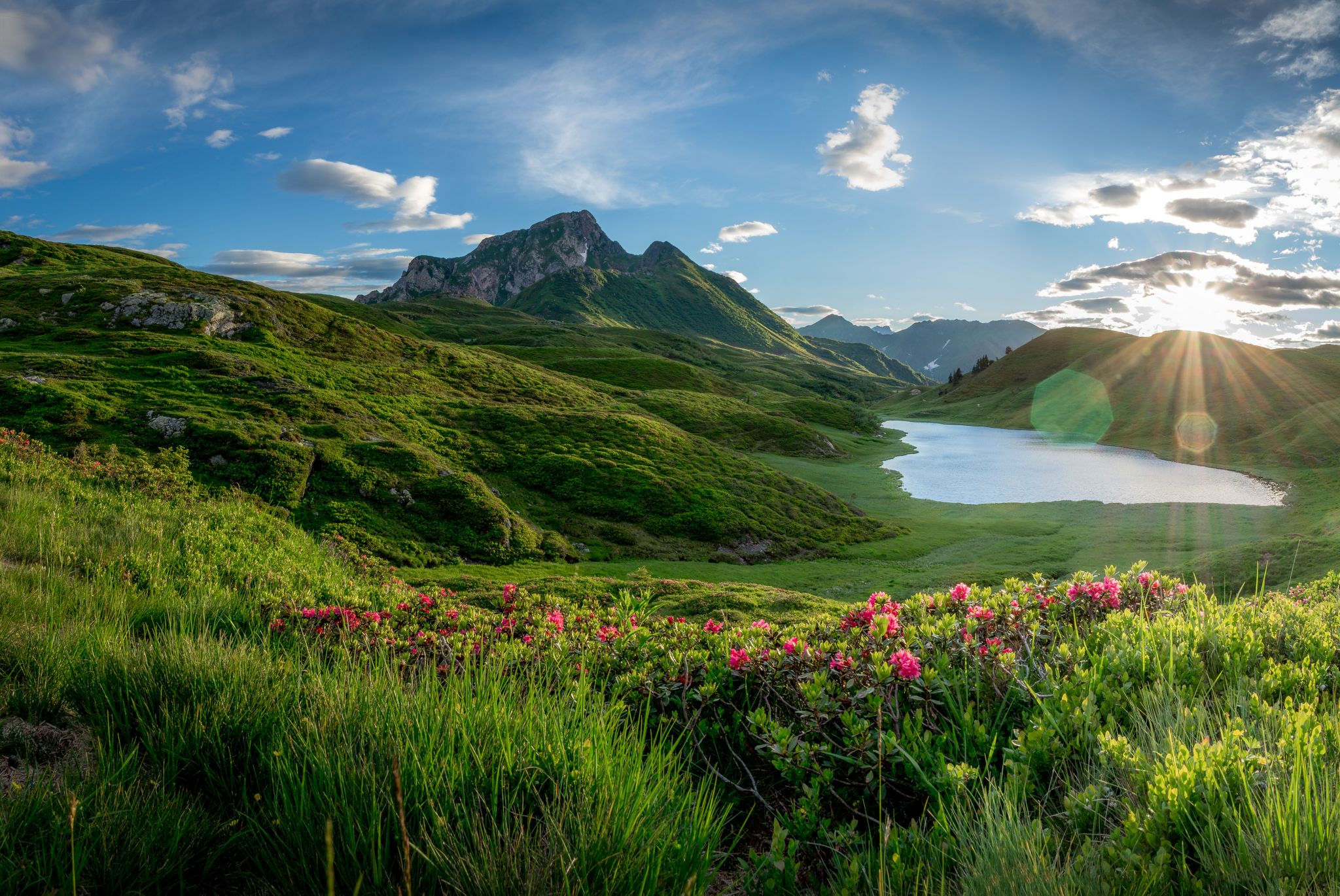
Southern Alpine Trail – Styrian vineyards and the Carnic Alps in Austria
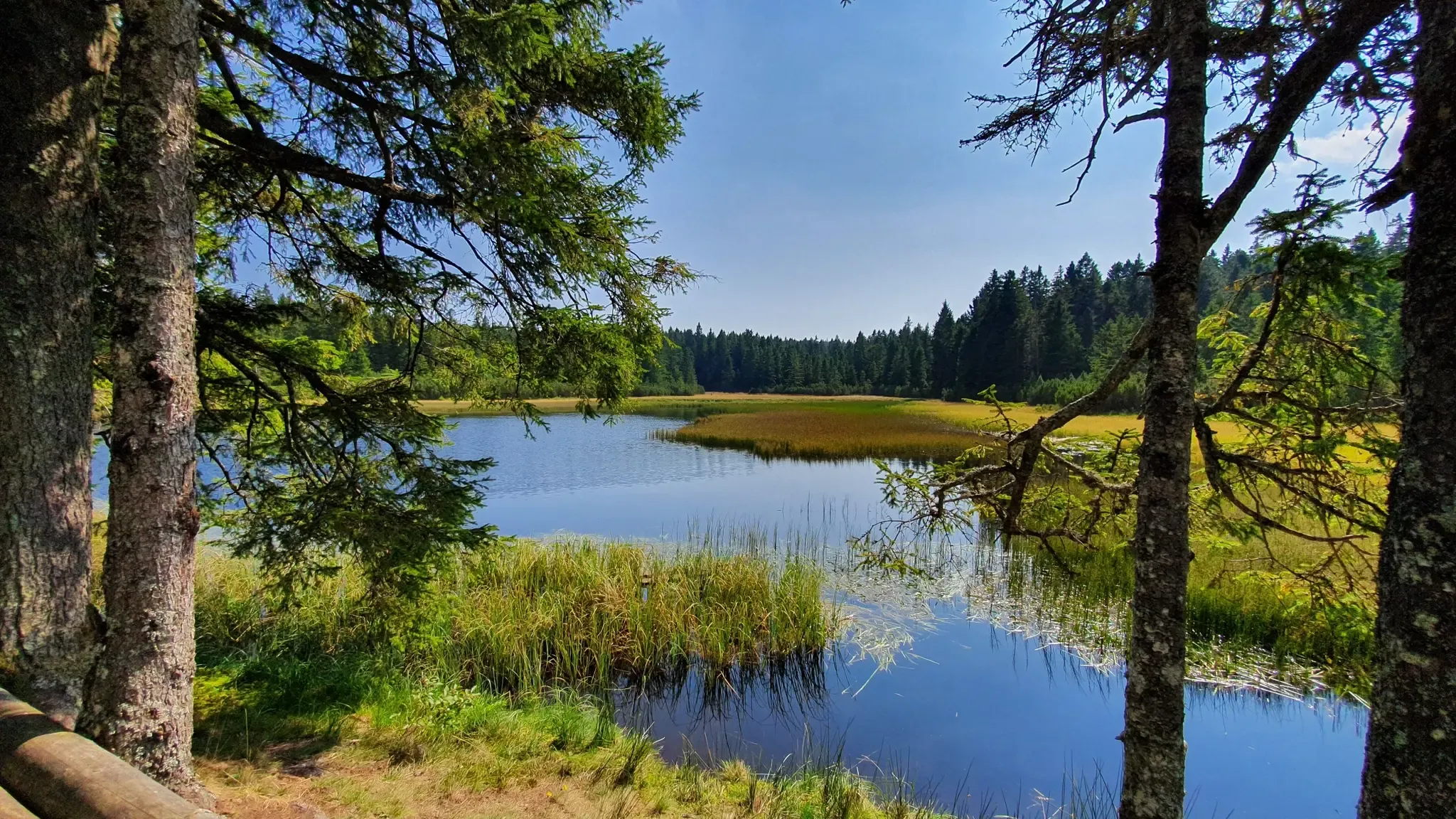
A superb Slovenian hiking adventure: Pohorje–Kozjak Trail
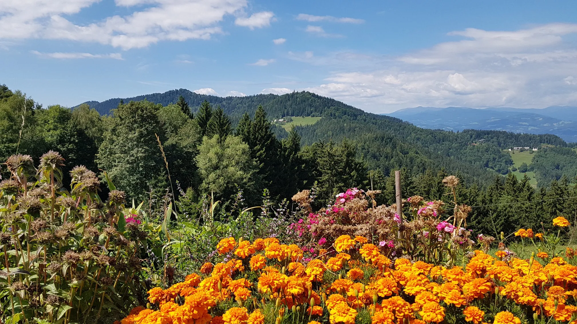
Hike between Austria and Slovenia on the Border Panorama Trail
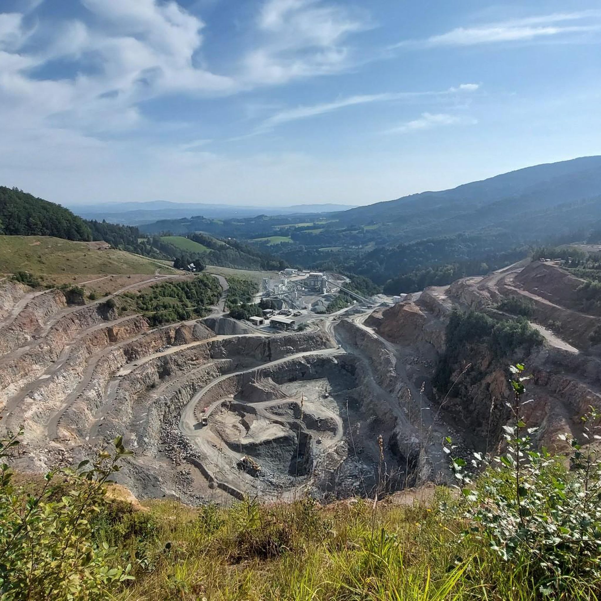
Road Cycling Routes around Radlje Ob Dravi
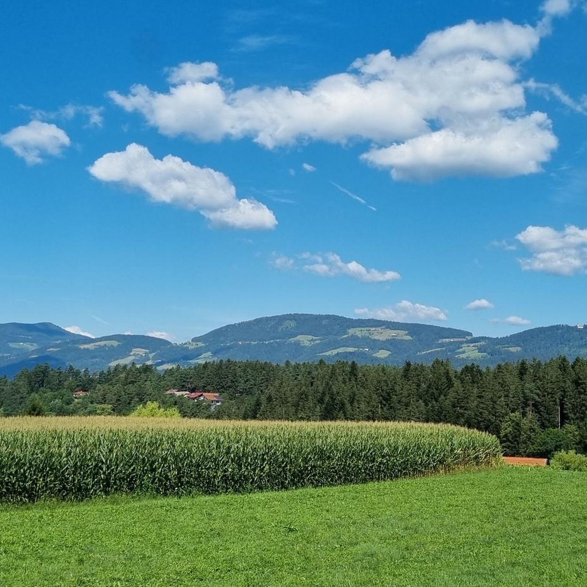
Cycling around Radlje Ob Dravi
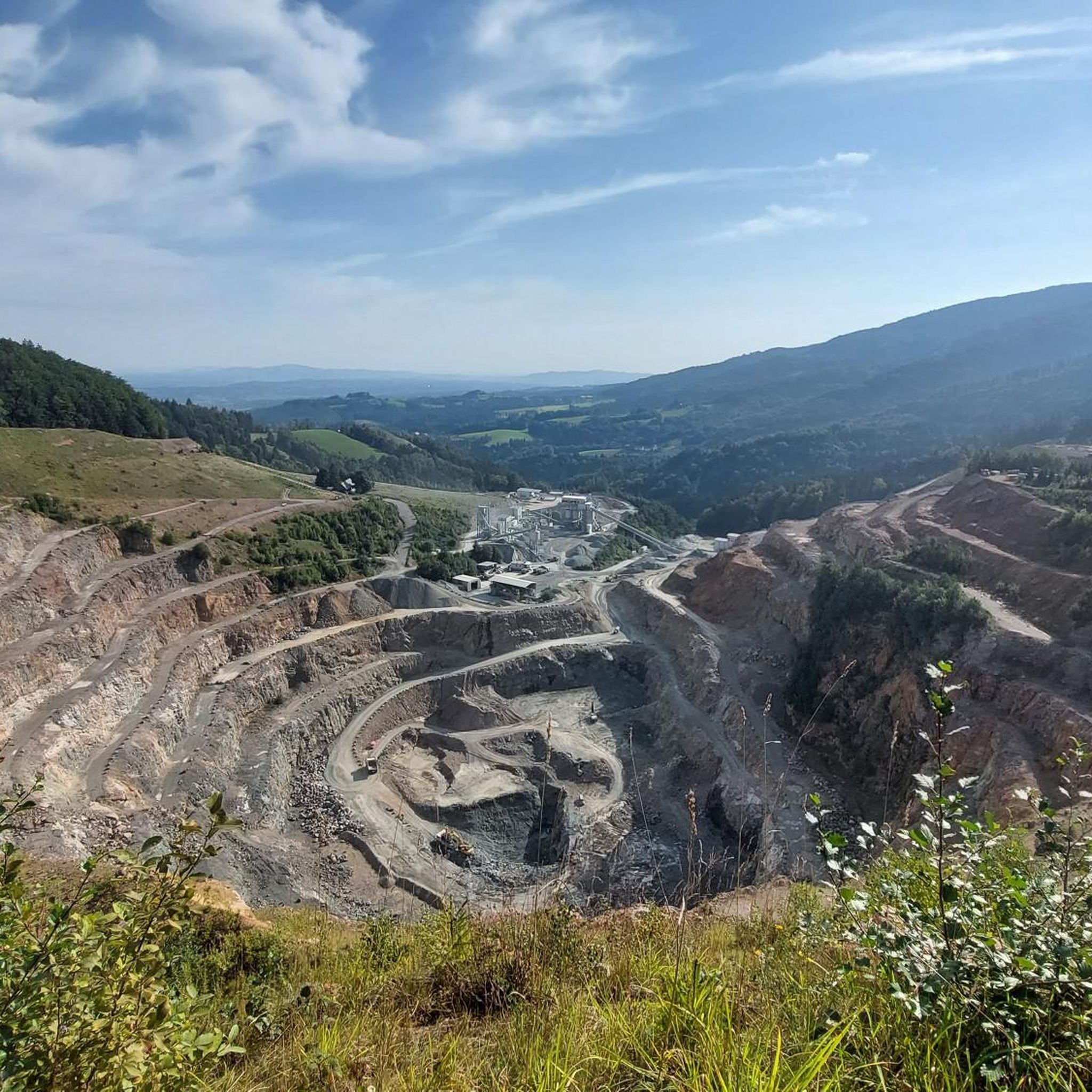
MTB Trails around Radlje Ob Dravi
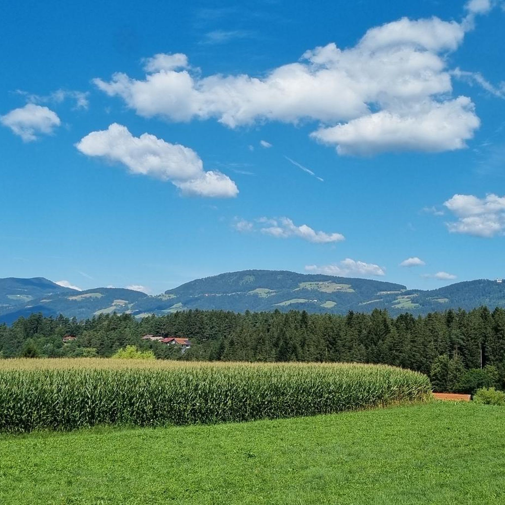
Hiking around Radlje Ob Dravi

Gravel biking around Radlje Ob Dravi
Other adventures around Radlje Ob Dravi


Tips from the Community

In the middle of the vast landscape, this pretty little chapel suddenly appears. A nice place for a break.
1
0

Great excursion destination, no special equipment necessary
0
0

The Church of St. Pancras, which belongs to the parish of Remšnik, stands at an altitude of 900 meters above sea level, at the end of the Radelce ridge right next to the border with Austria. It was first mentioned in 1490, and after being destroyed during the Turkish invasions in 1532, it was rebuilt around 1655. For centuries, it was a popular pilgrimage and excursion point due to its location and observation tower, from which a view opens towards Austria, Kapla, Duh na Ostre Vrh, Brezni Vrh and Remšnik. After the First World War, the border between the Kingdom of SHS and Austria ran right through the middle of the church, until, according to an agreement in 1966, it was entirely on the Slovenian side. During the time of Yugoslavia, it suffered severe damage – it was used as a stable and the interior was damaged – but it was restored between 1962 and 1966. The church consists of a rectangular nave, a presbytery, a sacristy and a separate bell tower with a viewing platform, which is closed in winter. Masses are held only a few times a year, usually bilingual, as many believers also come from Austria. Of particular importance are Pancras Sunday in May, Pentecost Monday, the feast of St. Aleš in July and "Beautiful Sunday" in mid-September. Saint Pancras, who is often depicted as a young man with a martyr's crown and a sword or palm, is the patron saint of early Christians, an intercessor against false testimony, headaches and cramps, and one of the fourteen intercessors in emergencies.
1
0

From the top of the bell tower you have a sensational view of the valley to Slovenia and Austria
2
0
The bell tower offers a fantastic view of both Slovenia and Austria. It's worth climbing up to the viewing platform.
1
0
The rest table at the top of the viewing platform is also fantastic. I haven't had a break with such a perfect view in a long time.
2
0


33 m long suspension bridge over the gorge
0
0
Frequently Asked Questions
How many running routes are available in Radlje ob Dravi?
Radlje ob Dravi offers a wide selection of running routes, with nearly 70 trails available for exploration. These routes cater to various fitness levels, ranging from easy paths to more challenging ascents through the region's diverse landscapes.
Are there easy running trails suitable for beginners in Radlje ob Dravi?
Yes, Radlje ob Dravi has several easy running trails perfect for beginners or those looking for a relaxed jog. There are 4 easy routes, often found along the picturesque Drava River or through gentle forest paths, providing a serene environment for your run.
What kind of terrain can I expect on jogging routes around Radlje ob Dravi?
The jogging routes in Radlje ob Dravi feature a varied terrain. You can expect lush forests, rolling hills from the Kozjak and Pohorje mountains, and scenic paths alongside the Drava River. This diversity offers everything from flat riverside runs to more challenging hilly sections.
Are there any circular running routes in Radlje ob Dravi?
Many of the running routes in Radlje ob Dravi are designed as loops, offering convenient circular paths. For example, the Running loop from Radlje ob Dravi is a moderate 6.0 km trail that starts and ends in the town, providing a great option for a local run.
What are some notable natural features or attractions I might see while running in Radlje ob Dravi?
While running in Radlje ob Dravi, you can enjoy the natural beauty of the Drava River, the Kozjak hills, and dense forests. You might also encounter sections of the Drava Cycle Path, offering scenic views. For a cultural highlight, the St. Pongratzen Church is a point of interest in the area.
What do other runners say about the trails in Radlje ob Dravi?
The running routes in Radlje ob Dravi are highly regarded by the komoot community, holding an average rating of 4.2 out of 5 stars. Runners often praise the diverse landscapes, from quiet woodlands to open meadows, and the well-maintained paths that make for an enjoyable experience.
Are there any challenging running routes for experienced runners?
Yes, for experienced runners seeking a challenge, Radlje ob Dravi offers several difficult routes. An example is the Running loop from Reitstall, a 12.3 km trail with significant elevation gain, providing a demanding workout through varied terrain.
Can I find running routes that offer panoramic views?
Absolutely. The region's hilly terrain, including the Kozjak hills and Pohorje mountains, means many routes offer stunning panoramic views. The View of the Glirsch Meadows loop from Eibiswald is a great example, providing expansive vistas across meadows and the surrounding landscape.
Are there any running routes that pass by local establishments like taverns or cafes?
Some routes might lead you near local establishments. For instance, the Labanz wine tavern loop from Oberhaag is a moderate 6.4 km route that could offer a chance to experience local hospitality after your run.
What is the typical duration for a running route in Radlje ob Dravi?
The duration of running routes in Radlje ob Dravi varies greatly depending on the distance and difficulty. For example, a moderate 8.2 km trail like the Running loop from Eibiswald typically takes around 56 minutes, while shorter, more difficult routes might take a similar amount of time due to elevation.
Are there routes suitable for longer distance running?
Yes, if you're looking for longer runs, there are routes that extend over 10 kilometers. The View of the Glirsch Meadows loop from Eibiswald is a moderate 12.0 km path, and the difficult Running loop from Reitstall covers 12.3 km, both offering extended running experiences.
What makes Radlje ob Dravi a good destination for running?
Radlje ob Dravi is an excellent destination for running due to its diverse and well-preserved natural landscapes, including lush forests, rolling hills, and the scenic Drava River valley. The extensive network of trails, commitment to sustainable tourism, and varying terrain provide options for all fitness levels, ensuring a serene and invigorating environment for runners.
Most popular routes around Radlje Ob Dravi
Most popular attractions around Radlje Ob Dravi

Get inspired with the komoot mobile app


Explore more
Browse the best Running Trails & Routes in other regions.
