The best walks and hikes around Rogašovci
4.5
(1240)
7,463
hikers
311
hikes
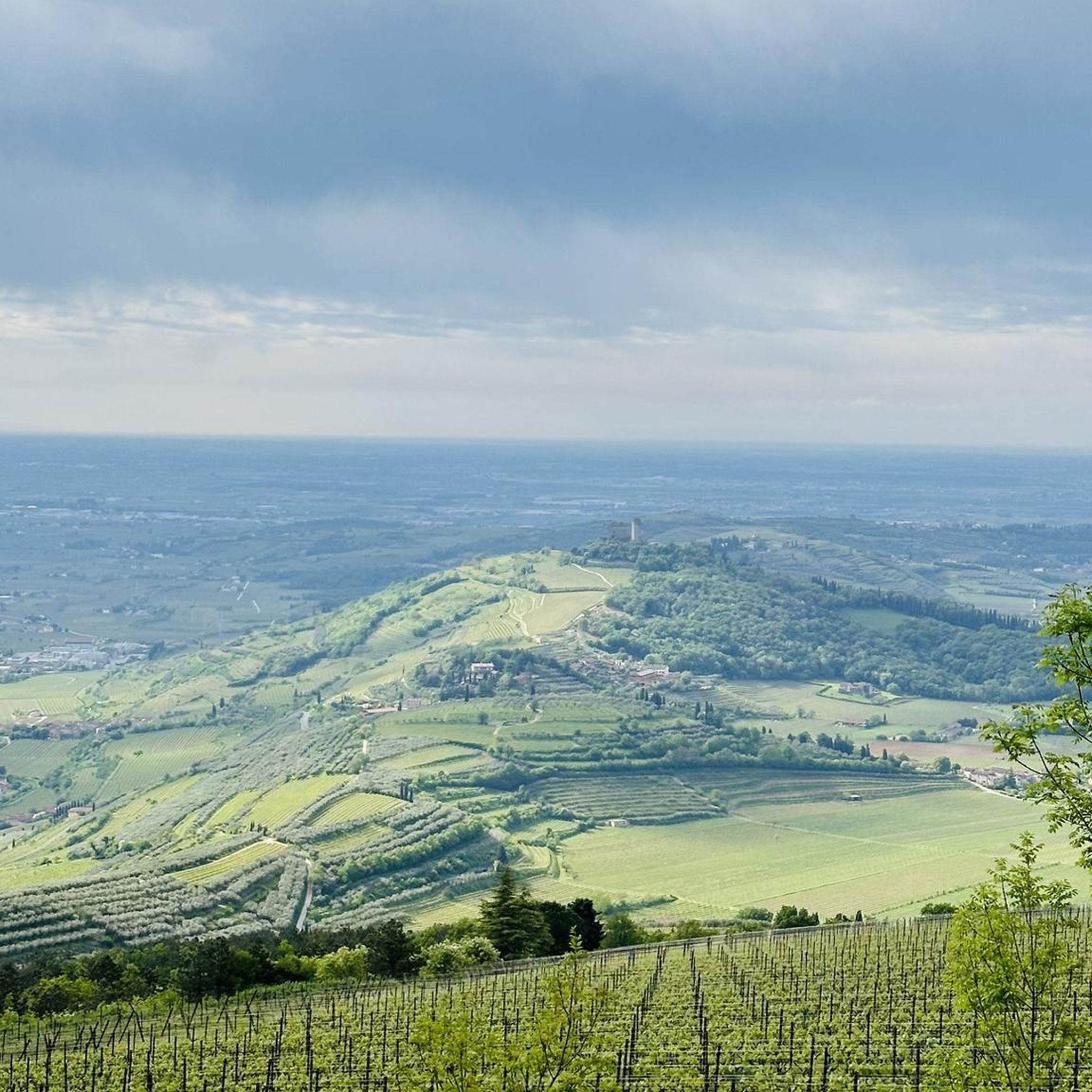
Hiking around Rogašovci offers diverse and picturesque landscapes within Slovenia's Prekmurje region, characterized by rolling hills, lush greenery, vineyards, and orchards. The area is part of the Goričko Nature Park, featuring a mosaic of meadows, fields, and forests, with meandering streams. Sotina Hill, at 418 meters, provides expansive views, while Lake Ledava and the Slatinski vrelec Nuskova mineral spring are notable natural features.
Best hiking trails in Rogašovci
- The most popular hiking route is Mineral Spring loop from Rogašovci,…
Last updated: July 1, 2026
4.8
(66)
461
hikers
Moderate hike. Good fitness required. Easily-accessible paths. Suitable for all skill levels.
4.8
(4)
19
hikers
8.67km
02:35
260m
260m
Moderate hike. Good fitness required. Easily-accessible paths. Suitable for all skill levels.

Sign up for free
3.0
(1)
3
hikers
10.7km
02:59
190m
190m
Moderate hike. Good fitness required. Mostly accessible paths. Sure-footedness required.
5.0
(1)
4
hikers
Moderate hike. Good fitness required. Easily-accessible paths. Suitable for all skill levels.
3
hikers
Easy hike. Great for any fitness level. Easily-accessible paths. Suitable for all skill levels.
5.0
(1)
3
hikers
Easy hike. Great for any fitness level. Easily-accessible paths. Suitable for all skill levels.
3
hikers
3.11km
00:48
10m
10m
Easy hike. Great for any fitness level. Easily-accessible paths. Suitable for all skill levels.
Get access to more routes and recommendations from other explorers.
Sign up for free
Already have an account?
Our route recommendations are based on thousands of hikes, rides, and runs completed by other people on komoot.
Start today with a free account
Your next adventure awaits.
Login or Signup
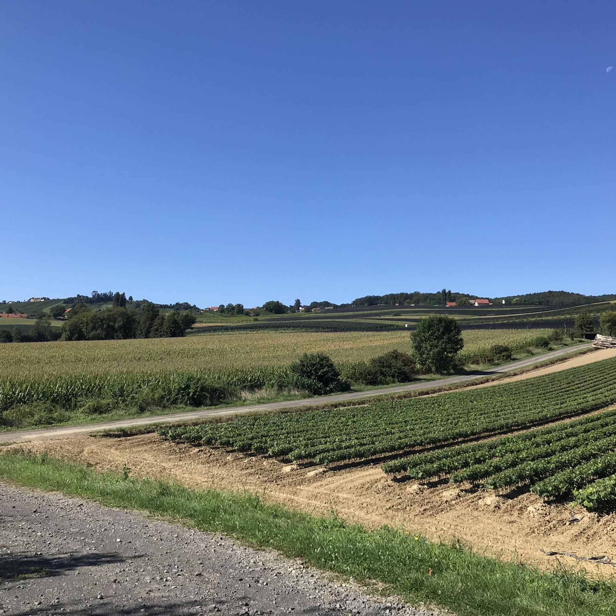
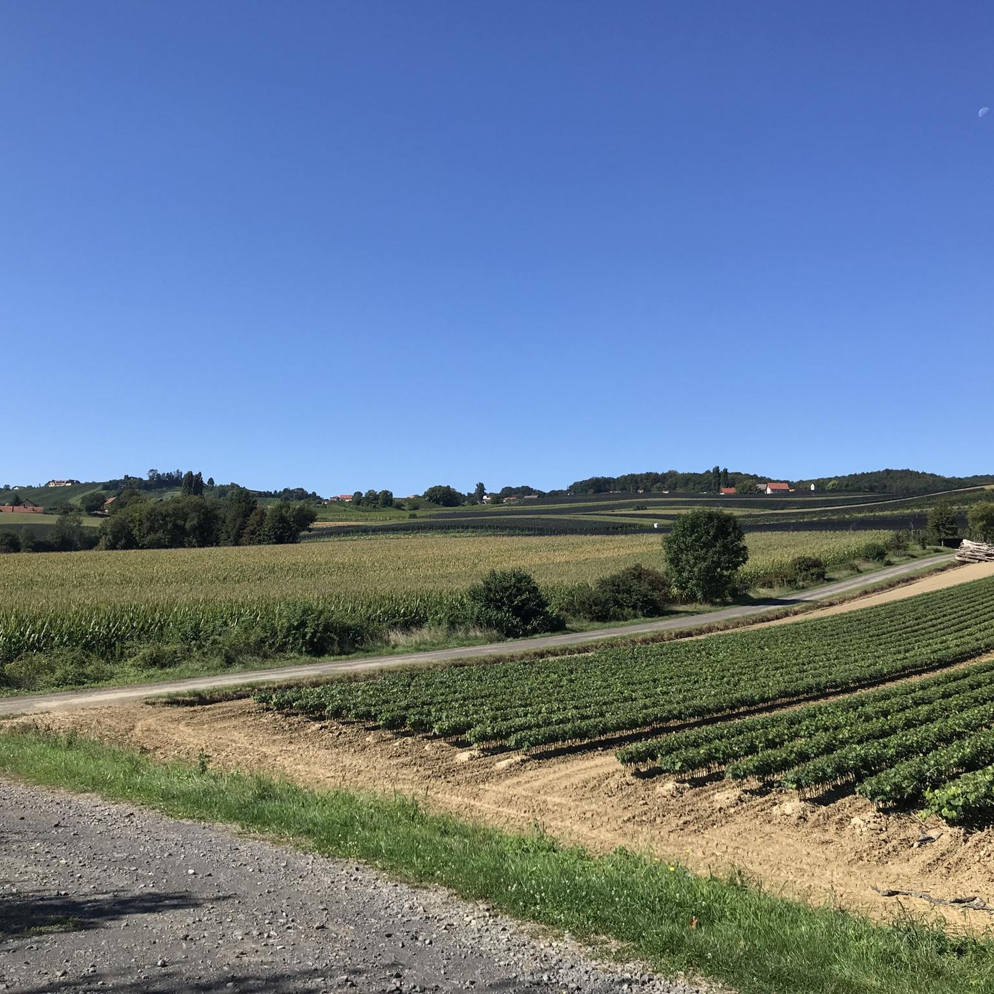
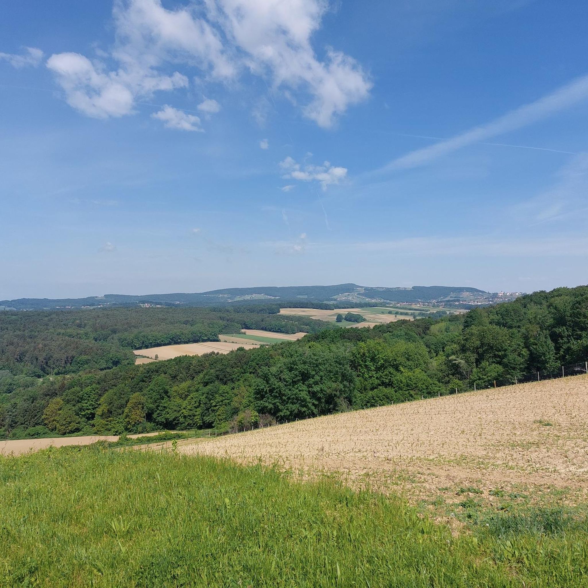
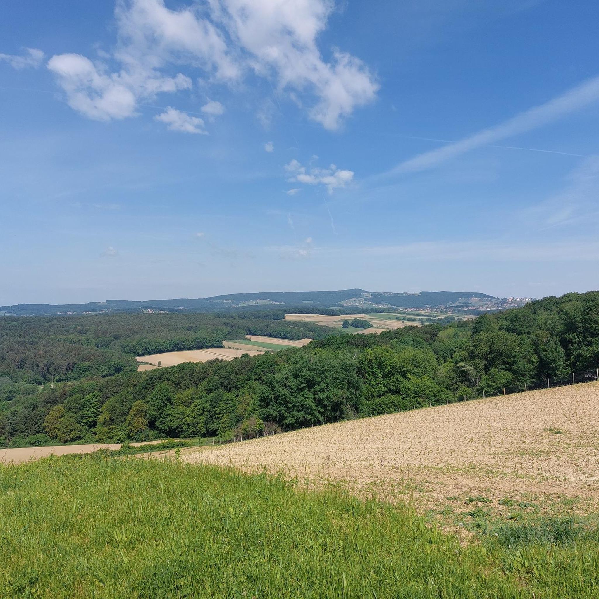
Tips from the Community

The water is drinkable, but contains impurities, which is why it has a distinct smell and taste. It contains natural CO2 and iron oxide, which oxidizes upon contact with air, hence the red color around the spring. The well is said to be about 50 meters deep. Interestingly, iron oxide was once used in painting and can be found in the surrounding church frescoes.
0
0

Great wines, always worth a visit
4
0

Super nice tour, food at Palz highly recommended
5
1
Super nice tour, food at Palz highly recommended
4
0
Super nice tour, food at Palz highly recommended
4
0
Super nice tour, food at Palz highly recommended
4
0

Frequently Asked Questions
What kind of terrain can I expect when hiking around Rogašovci?
The Rogašovci area, nestled within the Goričko Nature Park, features a diverse landscape of rolling hills, lush greenery, vineyards, orchards, and forests. You'll find trails meandering through a mosaic of meadows and fields, with some routes offering views of the Ledava valley and Lake Ledava. The region's hills were formed by the Pannonian Sea, creating a unique hillocky terrain.
Are there many easy hiking trails suitable for beginners or families in Rogašovci?
Yes, Rogašovci offers a good selection of easy trails. Approximately half of the 314 available routes are classified as easy. For example, the Mineral Spring loop from Rogašovci is an easy 1.9-mile (3.1 km) trail that takes about 48 minutes to complete, leading to the refreshing Slatinski vrelec Nuskova mineral spring. Another easy option is the St. Anna am Aigen Town Center – Information Office St. Anna am Aigen loop from Sankt Anna am Aigen, which is 3.4 miles (5.5 km) and winds through vineyards and small villages.
What are some notable natural attractions or landmarks to see while hiking in the region?
The region is rich in natural beauty and interesting landmarks. You can visit the Mineral Spring (Slatinski vrelec Nuskova), known for its unique CO2 and iron content. For panoramic views, head to the Stadlberg Observation Tower, which offers vistas of both Slovenia and Austria. Sotina Hill, the highest peak in Prekmurje, also provides expansive views. Additionally, the artificial Lake Ledava is a great spot for birdwatching.
Can I find circular hiking routes around Rogašovci?
Yes, many of the hiking routes in the Rogašovci area are designed as loops, allowing you to start and end at the same point. For instance, the St. Anna am Aigen Town Center – Refreshment point loop from Sankt Anna am Aigen is a moderate 9.1-mile (14.7 km) circular path that traverses rolling hills and agricultural landscapes. The Brodelzulz loop from Sankt Anna am Aigen is another moderate option, covering 5.4 miles (8.7 km).
Is Rogašovci a good destination for dog-friendly hiking?
Rogašovci, with its extensive network of trails through forests, meadows, and vineyards, is generally very welcoming for hikers with dogs. The natural environment of the Goričko Nature Park provides ample space for dogs to explore. Always ensure your dog is on a leash where required, especially near livestock or in protected areas, and carry water for both yourself and your pet.
What is the best time of year to go hiking in Rogašovci?
The best time for hiking in Rogašovci is typically from spring through autumn (April to October). During these months, the weather is generally pleasant, and the landscape is vibrant with greenery, blooming flowers, or autumn colors in the vineyards. Summer offers warm temperatures, while spring and autumn provide milder conditions ideal for longer treks. Winter hiking is possible, but some trails might be muddy or require appropriate gear.
Are there any places to eat or drink along the hiking trails?
Yes, the region is known for its hospitality. Some hiking routes, particularly those traversing vineyards like 'The Wine Route', offer opportunities to stop at wine cellars for tastings. The region also features cozy mountain huts where hikers can rest and enjoy traditional Slovenian cuisine. The St. Anna am Aigen Town Center – Refreshment point loop from Sankt Anna am Aigen explicitly mentions a refreshment point, indicating places to stop for food and drink.
How long do hikes around Rogašovci typically take?
Hikes around Rogašovci vary significantly in length and duration, catering to different fitness levels. Easy trails, like the Mineral Spring loop from Rogašovci, can be completed in under an hour. Moderate routes, such as the Klöcher Traminerweg Trail – Wine shop and Klöch Wine Museum loop from Klöch (6.6 miles / 10.7 km), might take around 3 hours. Longer, more challenging routes can extend to several hours, offering full-day adventures.
What do other hikers say about their experience in Rogašovci?
The hiking trails in Rogašovci are highly rated by the komoot community, with an average score of 4.5 stars from over 1,100 reviews. Hikers often praise the picturesque cultural landscape, the well-maintained paths through vineyards and forests, and the serene environment of the Goričko Nature Park. Many appreciate the diverse options available, from leisurely strolls to more challenging treks, and the opportunities to discover natural springs and scenic viewpoints.
Are there any specific trails that offer unique views or experiences?
For unique views, the trails leading to Sotina Hill (Prekmurski Triglav) offer expansive panoramas of the surrounding landscape, including the Ledava valley and distant Slovenian hills. The Stadlberg Observation Tower also provides exceptional dual-country views. For a cultural experience, consider routes that pass through vineyards and offer a chance to explore local wine cellars, such as the 'Wine Route' mentioned in the region's attractions.
Is public transport available to access hiking trailheads in Rogašovci?
While specific public transport routes directly to all trailheads might be limited in this rural region, Rogašovci is generally accessible. It's advisable to check local bus schedules for connections to Rogašovci or nearby towns. Many trails, especially those starting from village centers, are often accessible by car, with parking available. For detailed public transport information, consulting local Slovenian transport services would be recommended.
Are there opportunities for accommodation near the hiking areas?
Yes, the Rogašovci region offers various accommodation options. You can find dispersed farms that provide lodging, as well as cozy mountain huts along some trails where hikers can stay overnight. The area's focus on tourism within the Goričko Nature Park means there are options ranging from guesthouses to smaller hotels, particularly in and around the villages.
Most popular routes around Rogašovci
Most popular attractions around Rogašovci

Get inspired with the komoot mobile app


Explore more
Browse the best Hikes in other regions.
