The best walks and hikes around Friedrich-Wilhelm-Lübke-Koog
4.3
(295)
1,159
hikers
81
hikes
Hiking around Friedrich-Wilhelm-Lübke-Koog offers exploration of a unique polder landscape on the North Sea coast. This region, part of the Schleswig-Holstein Wadden Sea National Park, features extensive tidal flats, salt marshes, and agricultural land. Prominent dikes provide elevated paths with views over the Wadden Sea, while the area's flat terrain makes it accessible for various activity levels. The landscape is also characterized by numerous wind turbines and proximity to the German-Danish border.
Best hiking trails around Friedrich-Wilhelm-Lübke-Koog
- The most popular…
Last updated: July 8, 2026
4.4
(28)
62
hikers
14.3km
03:36
10m
10m
Moderate hike. Good fitness required. Easily-accessible paths. Suitable for all skill levels.
4.5
(2)
8
hikers
5.98km
01:30
0m
0m
Easy hike. Great for any fitness level. Easily-accessible paths. Suitable for all skill levels.

Sign up for free
4.8
(4)
9
hikers
Easy hike. Great for any fitness level. Easily-accessible paths. Suitable for all skill levels.
4.8
(4)
14
hikers
Easy hike. Great for any fitness level. Easily-accessible paths. Suitable for all skill levels.
5.0
(3)
12
hikers
Moderate hike. Good fitness required. Easily-accessible paths. Suitable for all skill levels.
Get access to more routes and recommendations from other explorers.
Sign up for free
Already have an account?
Our route recommendations are based on thousands of hikes, rides, and runs completed by other people on komoot.
Start today with a free account
Your next adventure awaits.
Login or Signup
Tips from the Community


Northernmost point of mainland Germany It's not spectacular, but if you're cycling the North Sea Cycle Route, it's a must-see. Seeing this spot is a must 😉. There's a shelter in the parking lot for shelter in case of rain. There's also information about the dike construction and the Wadden Sea.
2
0

You can see Föhr very well
0
0


The northernmost point of the German mainland is located in the Rickelsbüller Koog, near Rodenäs in the district of Nordfriesland, Schleswig-Holstein. It marks Germany's outermost land border on the North Sea. Access is via the Norddeich–Sieltoft border crossing, which also serves as a reference point for this extreme point. This is not the absolute northernmost point in Germany—that position is occupied by the Ellenbogen peninsula on Sylt, a peninsula north of List that belongs to the island.
2
0

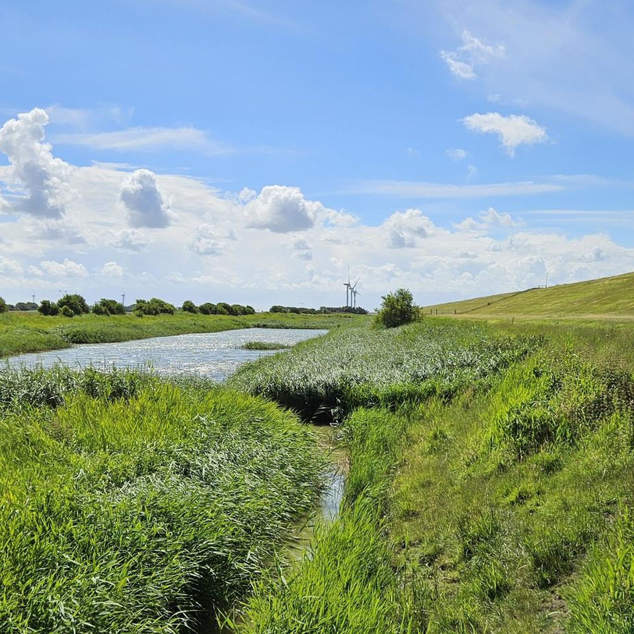
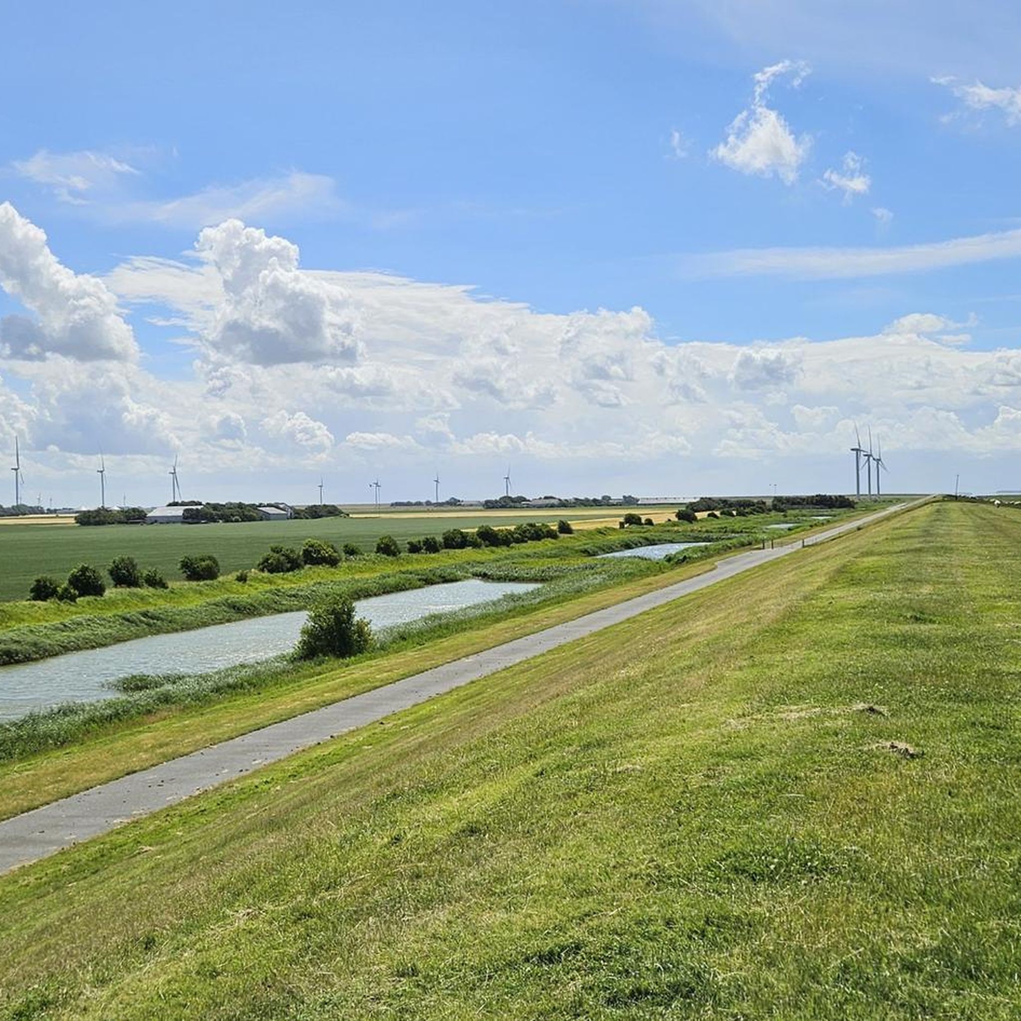
Looking over the dike, you can see the Hindenburg Dam to the left and, from time to time, a train passing by. Ahead, the east coast of Sylt with its lighthouse and cliffs. In front, the Wadden Sea is a magnificent sight.
3
0

Frequently Asked Questions
What is the general terrain like for hiking in Friedrich-Wilhelm-Lübke-Koog?
The terrain in Friedrich-Wilhelm-Lübke-Koog is predominantly flat, characteristic of a polder landscape reclaimed from the sea. You'll find extensive agricultural fields, coastal dikes offering elevated paths with views over the Wadden Sea, and salt marshes. The area is part of the Schleswig-Holstein Wadden Sea National Park, providing a unique coastal environment.
How many hiking trails are available in Friedrich-Wilhelm-Lübke-Koog?
There are over 80 hiking trails recorded in Friedrich-Wilhelm-Lübke-Koog on komoot, offering a wide range of options for different preferences and fitness levels.
Are there easy hiking routes suitable for beginners or casual walkers?
Yes, Friedrich-Wilhelm-Lübke-Koog offers many easy hiking routes. Over 50 trails are rated as easy, making the area very accessible for beginners, families, and those looking for a relaxed walk. An example is the Continue – Hindenburgdamm loop from Friedrich-Wilhelm-Lübke-Koog, which is an easy 6 km path.
What kind of natural features or landmarks can I expect to see along the trails?
Hikers can enjoy the unique polder landscape, the expansive Wadden Sea views from the dikes, and the rich birdlife in the 'Naturschutzköge' (nature conservation polders). You might also spot the numerous wind turbines that dot the landscape. For specific points of interest, consider visiting the View of the Wadden Sea from the Föhr dike or the German-Danish Border at Ruttebüller See.
Are there any circular hiking routes in Friedrich-Wilhelm-Lübke-Koog?
Yes, many of the hiking routes in Friedrich-Wilhelm-Lübke-Koog are circular, allowing you to start and end at the same point. For instance, the Südwesthörn Coastal Viewpoint loop from Emmelsbüll, Südfeddersbüll is an easy 5.5 km circular trail offering coastal views.
What is the best time of year to go hiking in Friedrich-Wilhelm-Lübke-Koog?
The best time to hike in Friedrich-Wilhelm-Lübke-Koog is generally from spring to autumn (April to October). During these months, the weather is milder, and the birdlife in the Wadden Sea National Park is particularly active. Summer offers longer daylight hours, while spring and autumn provide pleasant temperatures and fewer crowds.
Are the hiking trails in Friedrich-Wilhelm-Lübke-Koog suitable for families with children?
Yes, the flat and generally easy terrain makes many trails in Friedrich-Wilhelm-Lübke-Koog very suitable for families. The coastal dikes and nature observation opportunities can be engaging for children. Look for the 'easy' rated routes for the most family-friendly options.
Can I bring my dog on the hiking trails?
Many trails in Friedrich-Wilhelm-Lübke-Koog are dog-friendly, especially those along the dikes and through the agricultural polder landscape. However, as the area is part of the Wadden Sea National Park and home to sensitive bird breeding grounds, it's crucial to keep dogs on a leash, especially near nature conservation areas and during bird breeding seasons. Always check local signage for specific restrictions.
What do other hikers enjoy the most about hiking in Friedrich-Wilhelm-Lübke-Koog?
The hiking experience in Friedrich-Wilhelm-Lübke-Koog is highly rated by the komoot community, with an average score of 4.4 stars from over 250 reviews. Hikers often praise the unique flat polder landscape, the expansive views over the Wadden Sea from the dikes, and the tranquility of the area. The opportunity for birdwatching is also a frequently mentioned highlight.
Are there any longer or more challenging routes for experienced hikers?
While the region is generally flat, there are a few longer routes that offer a more extended experience. For example, the Sylt Railway View loop from Dreieckskoog is a moderate 14.3 km trail that takes about 3 hours 35 minutes to complete, offering a good distance for experienced hikers.
Is there public transport access to the hiking areas, or is parking available?
While public transport options might be limited directly to all trailheads, parking is generally available in and around Friedrich-Wilhelm-Lübke-Koog, especially near popular starting points or attractions. It's advisable to check specific route descriptions on komoot for details on parking facilities at individual trailheads.
Most popular attractions around Friedrich-Wilhelm-Lübke-Koog

Get inspired with the komoot mobile app


Explore more
Browse the best Hikes in other regions.
