The best walks and hikes around Friedenfels
4.6
(291)
1,012
hikers
83
hikes
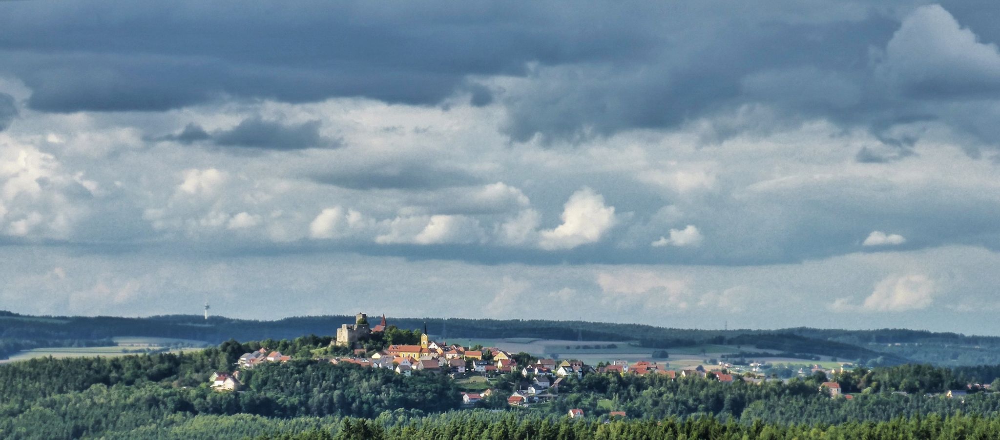
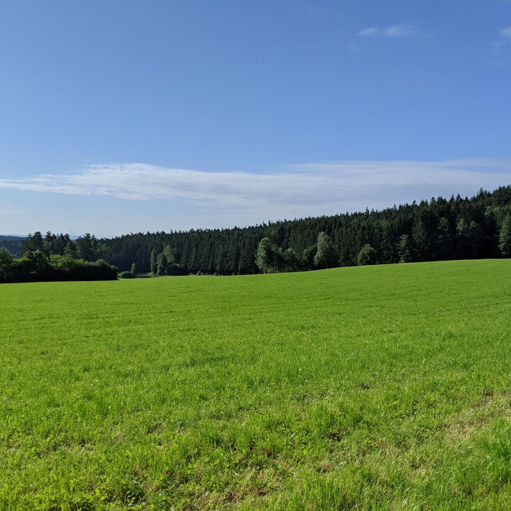
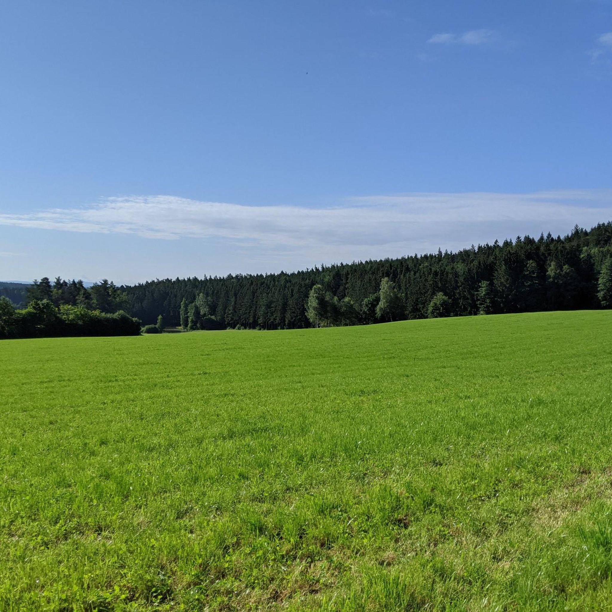
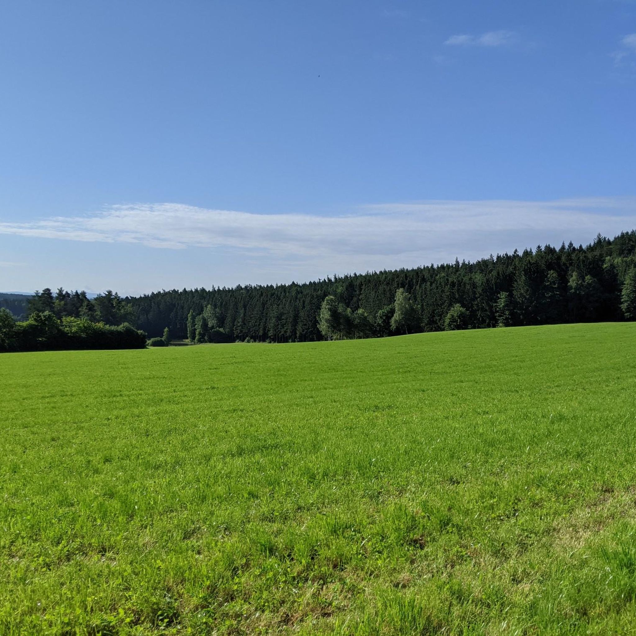
Hiking trails around Friedenfels traverse the diverse landscapes of the Steinwald Nature Park, characterized by expansive meadows and dense forests. The region features the Waldnaabtal, where the Waldnaab river has carved striking granite rock formations. Hikers will encounter unique geological wonders such as the Riesenschüssel and Teufelsstein, alongside natural stream courses and serene ponds. This area offers a blend of varied terrain, from gentle slopes to more rugged paths.
Best hiking trails around Friedenfels
- The most popular hiking route is Friedenfels Climate Terrain Trail, a 6.5 miles (10.4 km) moderate trail that takes 2 hours 54 minutes to complete. This route offers varied terrain and panoramic views within the Steinwald nature reserve.
- Another top favourite among local hikers is Oberpfalzturm Observation Tower – Zipfeltannenfelsen loop from Friedenfels, a difficult 12.2 miles (19.6 km) path. This trail leads to the Oberpfalzturm, providing extensive 360-degree views across the Upper Palatinate Forest.
- Local hikers also love the Friedensfels – Giant's Bowl Rock Formation loop from Friedenfels, a 3.0 miles (4.8 km) trail leading through varied terrain to the impressive Riesenschüssel rock formation, often completed in about 1 hour 20 minutes.
- Hiking around Friedenfels is defined by the granite rock formations of the Waldnaabtal, the expansive forests of the Steinwald Nature Park, and numerous hills. The network offers options for different ability levels, from easy strolls to more challenging expeditions.
- The routes in Friedenfels are highly rated by the komoot community with an average score of 4.7 stars from over 240 reviews. More than 900 hikers have used komoot to explore Friedenfels's varied terrain.
Last updated: October 10, 2026
4.9
(43)
120
hikers
10.4km
02:54
210m
210m
Hike the 6.4-mile Friedenfels Climate Terrain Trail in Steinwald nature reserve, a moderate route with panoramic views and varied terrain.
4.7
(61)
169
hikers
Hard hike. Very good fitness required. Easily-accessible paths. Suitable for all skill levels.

4.6
(18)
39
hikers
18.1km
05:08
390m
390m
Hard hike. Very good fitness required. Easily-accessible paths. Suitable for all skill levels.
4.7
(6)
47
hikers
Moderate hike. Good fitness required. Easily-accessible paths. Suitable for all skill levels.
4.6
(5)
20
hikers
11.6km
03:19
280m
280m
Moderate hike. Good fitness required. Easily-accessible paths. Suitable for all skill levels.
Get access to more routes and recommendations from other explorers.
Already have an account?
Our route recommendations are based on thousands of hikes, rides, and runs completed by other people on komoot.
Start today with a free account
Your next adventure awaits.
Popular around Friedenfels


Tips from the Community

Anyone who has already been to Friedenfels should take the opportunity to stop by the Friedenfelser brewery. Delicious food and, as a brewery, they also know their beer.
0
0

Beautiful resting place with free parking
0
0

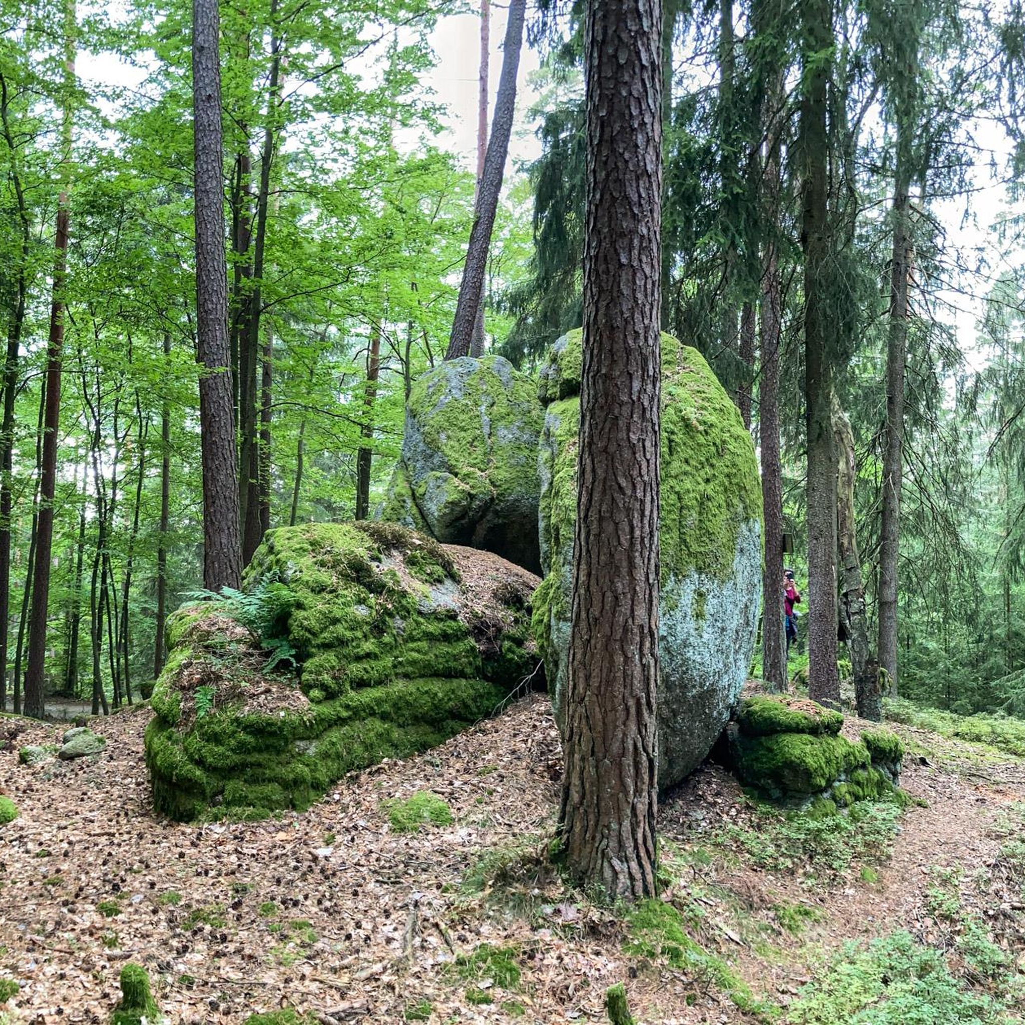
As can be read on the nearby information board, even Goethe himself was once very taken with the massive rock formations, even if this rock still had to make do without a viewing platform.
7
1
A narrow path that winds through dense forest, occasionally offering open views of the wide surroundings
9
0

Very good restaurant, delicious food, great cakes and reasonable prices.
2
0
Perfect for tours in the Stone Forest.
1
0

Nice place to take a break.
1
0

Wonderful hiking parking area with seating, information boards, and ample parking spaces. Simply beautifully done...
0
0
Frequently Asked Questions
How many hiking trails are available in Friedenfels?
Friedenfels offers a diverse network of over 75 hiking trails. These routes cater to various skill levels, with approximately 30 easy, 40 moderate, and a few more challenging options available for exploration.
What types of landscapes can I expect to see while hiking in Friedenfels?
Hiking in Friedenfels immerses you in the varied terrain of the Steinwald Nature Park. You'll encounter expansive meadows, dense forests, and the unique Waldnaabtal, where the Waldnaab river has carved striking granite rock formations. The landscape also features natural stream courses, serene ponds, and terraced slopes.
Are there easy hiking trails suitable for beginners or families?
Yes, Friedenfels has numerous easy trails perfect for beginners and families. For instance, the Friedensfels – Giant's Bowl Rock Formation loop from Friedenfels is an easy 3-mile (4.8 km) trail that leads to the impressive Riesenschüssel rock formation. Many other gentle paths wind through the pond landscapes towards the Waldnaab valley.
What natural landmarks or geological features can I explore?
The region is rich in geological wonders. You can visit the impressive "Riesenschüssel" (Giant's Bowl) and the massive granite formation known as the "Teufelsstein" (Devil's Stone). The Waldnaab Valley Nature Reserve itself is a highlight, with its bizarre rock formations like the Butter Barrel carved by the river.
Are there any historical sites or viewpoints along the trails?
Absolutely. A popular historical site is the Burgruine Weißenstein (Weißenstein Castle Ruins), which offers a magnificent panoramic view. For breathtaking vistas, climb the 33-meter tall Oberpfalzturm (Upper Palatinate Tower) on the Steinwald ridge, providing a stunning 360-degree view into Bohemia.
Can I bring my dog on the hiking trails in Friedenfels?
Friedenfels is generally dog-friendly, with many trails suitable for hiking with your canine companion. However, it's always recommended to keep dogs on a leash, especially within the Steinwald Nature Park, to protect wildlife and ensure a pleasant experience for all hikers. Please be mindful of local regulations.
Are there circular hiking routes available in Friedenfels?
Yes, many of the trails in Friedenfels are designed as circular routes, allowing you to start and end at the same point. Examples include the Friedenfels Climate Terrain Trail and the 350-Year-Old Beech Tree – Waldschänke Zainhammer loop.
What are some longer, more challenging hikes in the area?
For those seeking a challenge, Friedenfels offers more demanding routes. The Hackelstein – Weißenstein Castle Ruins loop from Friedenfels is a difficult 11.2-mile (18 km) path. The region is also integrated into prominent long-distance trails like the Goldsteig, which offers a demanding northern route over various summits.
What do other hikers enjoy the most about hiking in Friedenfels?
The trails in Friedenfels are highly rated by the komoot community, with an average score of 4.7 stars from over 240 reviews. Hikers often praise the diverse landscapes, from the unique granite formations of the Waldnaabtal to the serene forests and panoramic viewpoints, as well as the well-marked paths.
Are there any themed or guided hiking experiences?
Friedenfels offers unique themed and guided hiking experiences. These include Kneipp tours, hammock tours, forest bathing, herbal hikes, and cultural or nature-focused tours led by certified guides and Geopark rangers. These provide a deeper engagement with the region's natural and cultural heritage.
Where can I find parking for hiking trails in Friedenfels?
Parking is generally available at the starting points of many popular hiking trails and at key attractions within the Friedenfels area. Specific parking information for individual routes can often be found on komoot tour pages or local tourist information boards.
What is the best time of year to hike in Friedenfels?
The best time to hike in Friedenfels is typically from spring through autumn, when the weather is mild and the landscapes are vibrant. Spring brings blooming meadows, while autumn offers stunning fall foliage. Summer is also popular, but be prepared for warmer temperatures. Winter hiking is possible, especially on well-maintained paths, but requires appropriate gear.
Most popular routes around Friedenfels
Most popular attractions around Friedenfels

Get inspired with the komoot mobile app


Explore more
Browse the best Hikes in other regions.
