The best walks and hikes around Berndorf
4.6
(6325)
29,361
hikers
115
hikes
Hiking trails around Berndorf offer diverse landscapes within the Vienna Woods (Wienerwald) in Lower Austria. The region features dense forests, clear streams, and local hills like Guglzipf, providing varied terrain for outdoor activities. Hikers can explore paths with moderate elevation gains, leading to panoramic viewpoints and historical landmarks.
Best hiking trails around Berndorf
- The most popular hiking route is Wooden Cross – Waxeneck Hut (765 m) loop from Berndorf, a 10.8 miles (17.3 km) trail that takes 4 hours…
Last updated: August 15, 2026
4.7
(43)
167
hikers
17.3km
05:00
440m
440m
Moderate hike. Good fitness required. Easily-accessible paths. Suitable for all skill levels.
4.6
(34)
120
hikers
9.94km
02:49
220m
220m
Moderate hike. Good fitness required. Easily-accessible paths. Suitable for all skill levels.

Sign up for free
4.6
(31)
121
hikers
Moderate hike. Good fitness required. Easily-accessible paths. Suitable for all skill levels.
4.5
(17)
84
hikers
16.1km
04:45
460m
460m
Moderate hike. Good fitness required. Easily-accessible paths. Suitable for all skill levels.
4.7
(11)
76
hikers
4.66km
01:25
150m
150m
Easy hike. Great for any fitness level. Easily-accessible paths. Suitable for all skill levels.
Get access to more routes and recommendations from other explorers.
Sign up for free
Already have an account?
Our route recommendations are based on thousands of hikes, rides, and runs completed by other people on komoot.
Start today with a free account
Your next adventure awaits.
Login or Signup
Tips from the Community

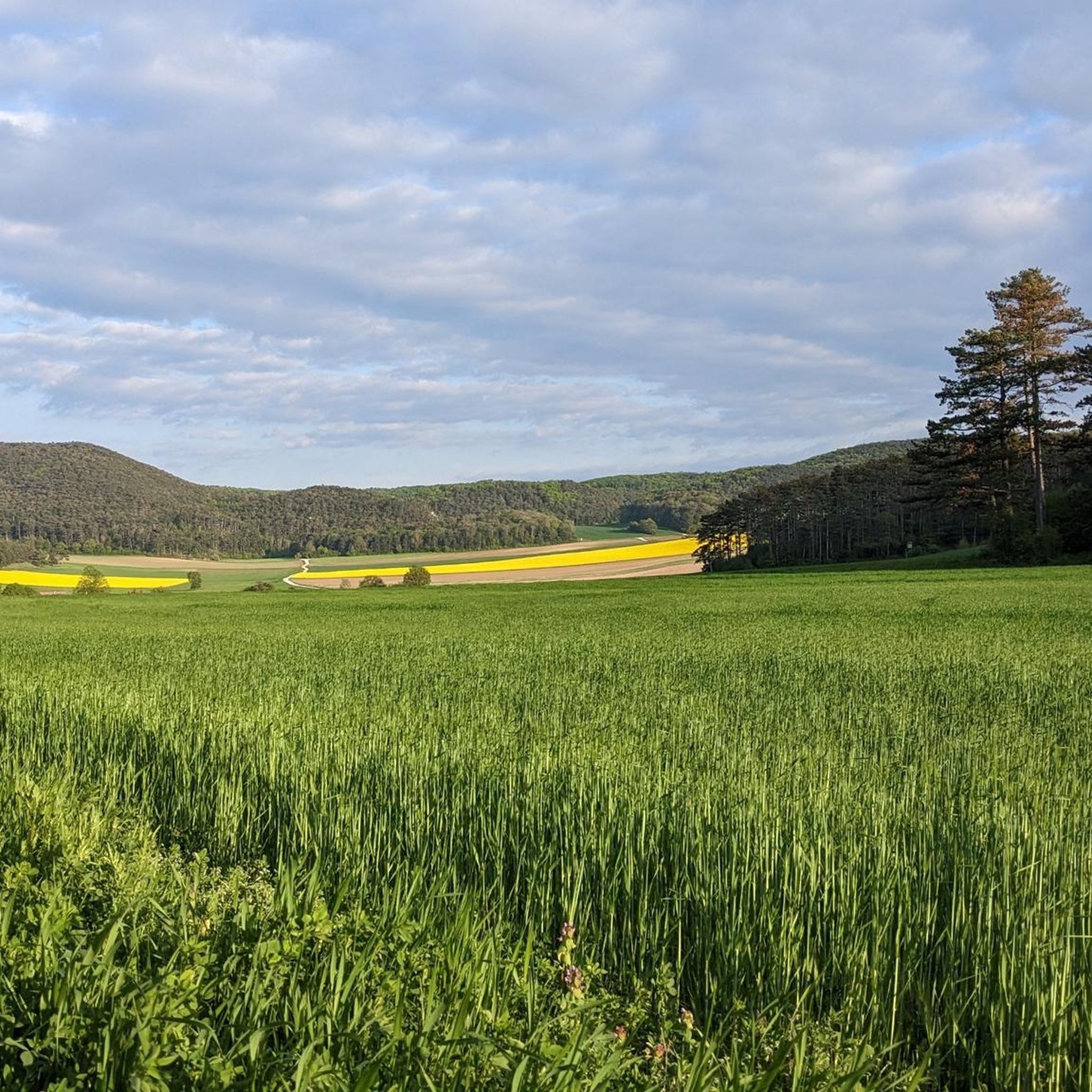
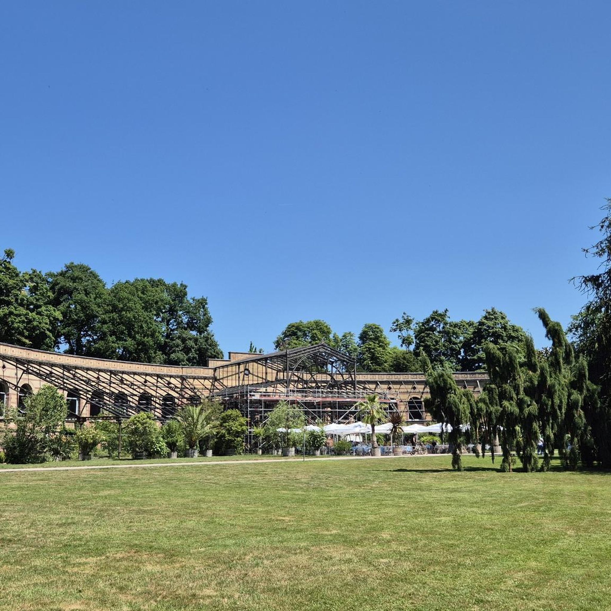
A small, covered resting place in the middle of the forest. Next to the pavilion is an old hand pump, which gives the place a special, almost historical character. A quiet and somewhat unusual stop along the hiking route.
2
0
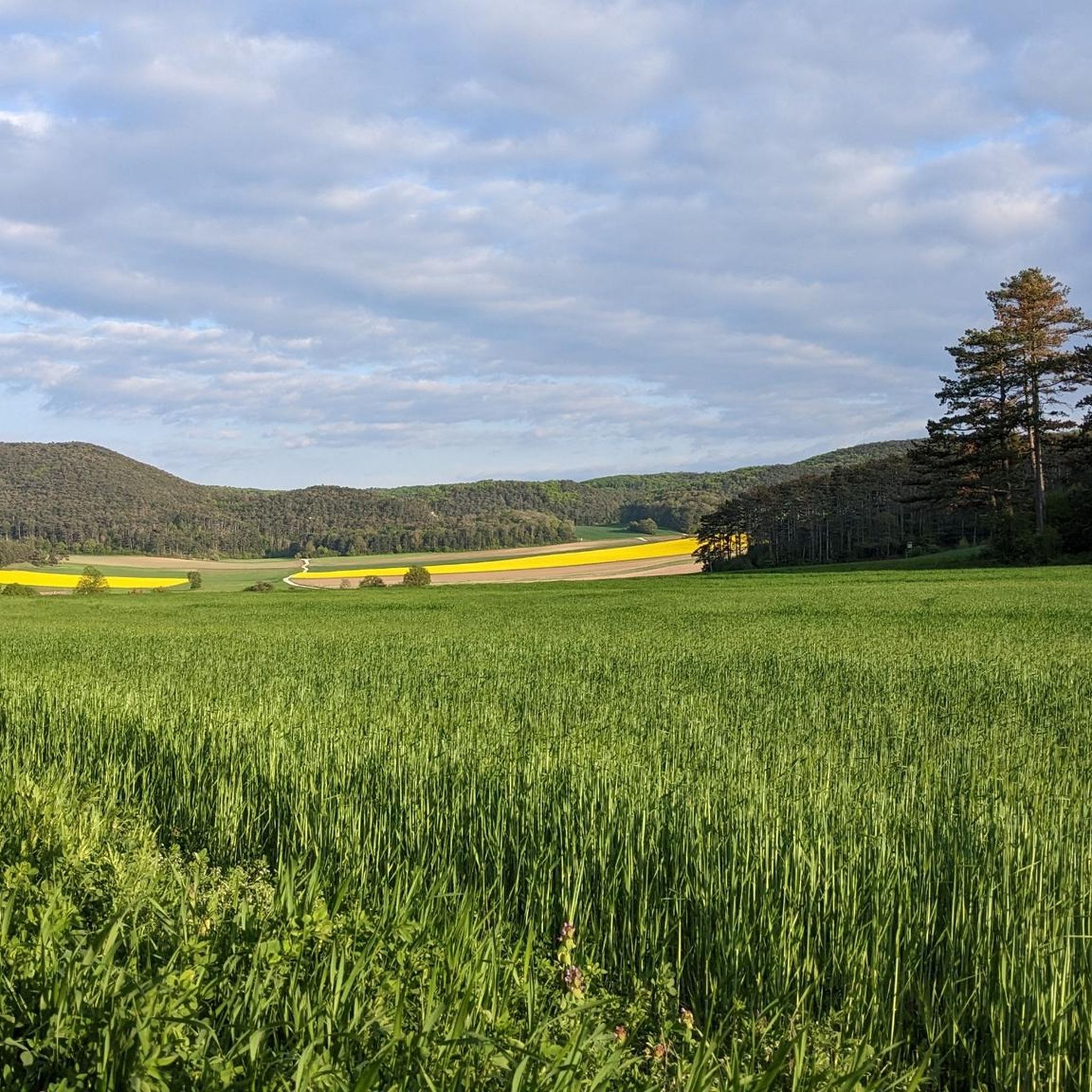
The Mitterriegel is a quiet, wooded elevation along the route. The inconspicuous ridge lies off the beaten track and offers above all a lot of tranquility and a secluded forest atmosphere. A nice intermediate point on a longer hike through the area.
4
0
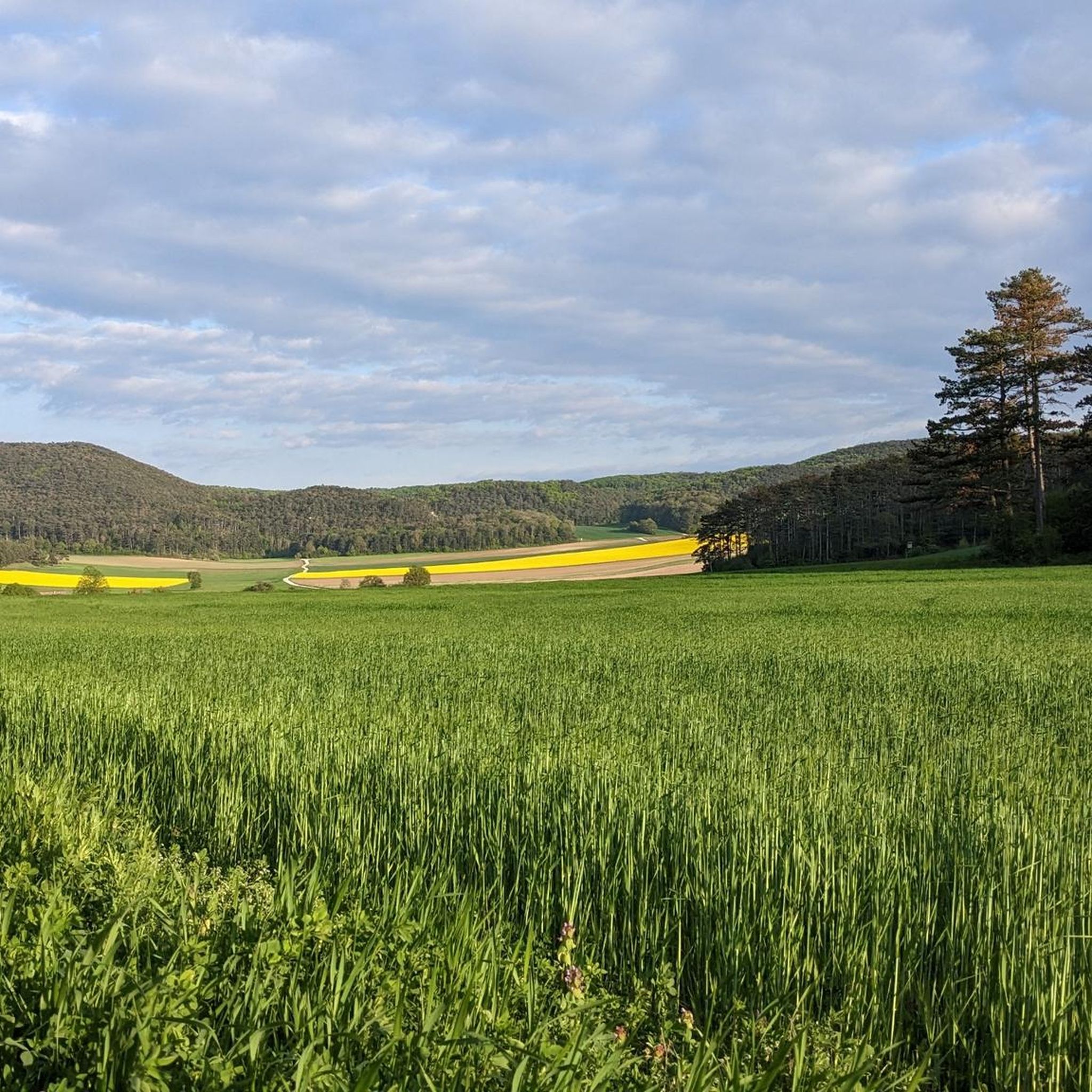
A quiet transition in the forest and a good landmark along the route. The Geyersattel connects the surrounding ridges and is well suited for a short break before the path leads towards the Geyerhöhe or further into the valley.
4
0
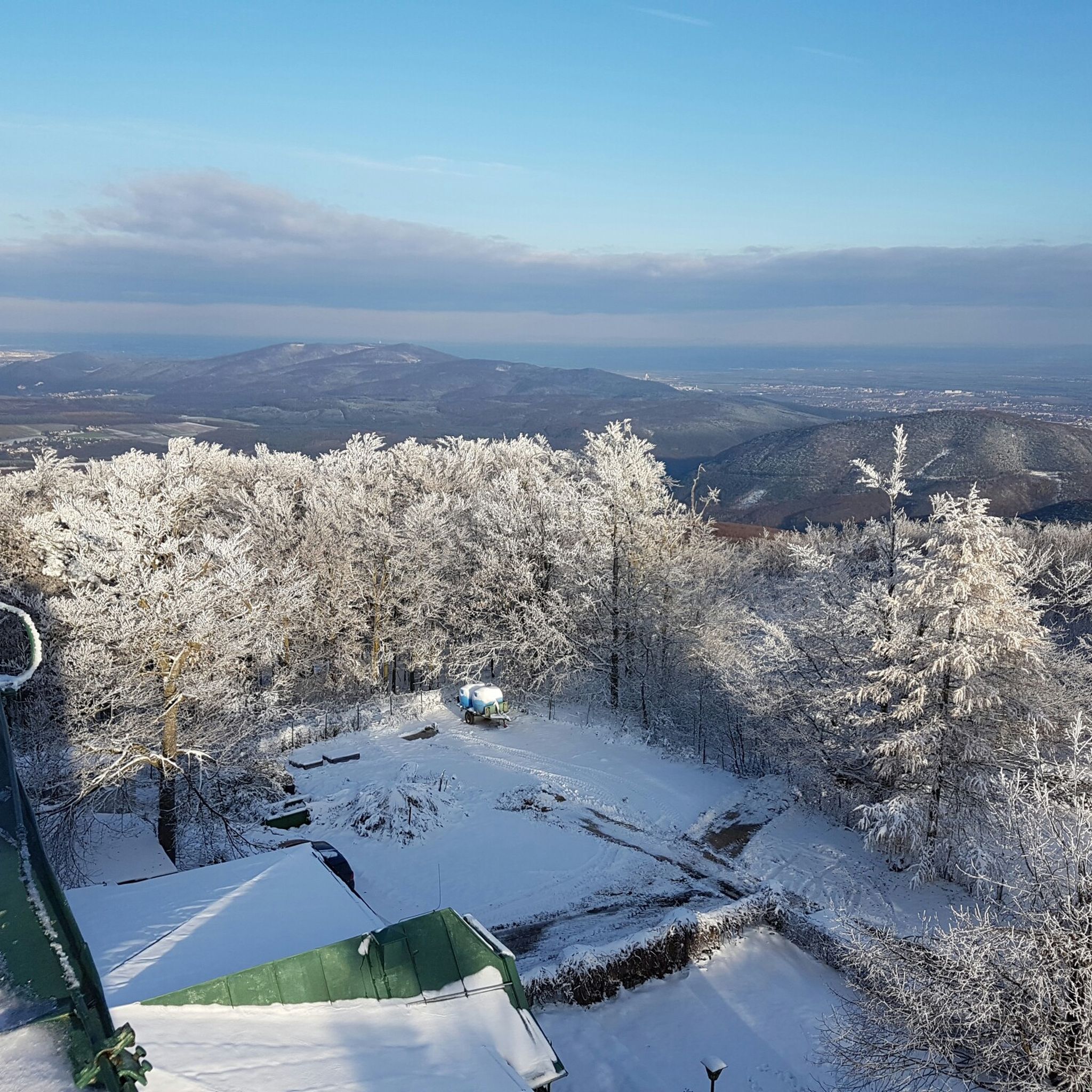
The view from the Waxeneckhaus onto the Schneeberg impresses with a wide panorama of the highest mountain in Lower Austria. Especially in clear visibility, the striking plateau clearly stands out from the surrounding pre-Alpine relief. A scenic moment that makes every break up here even more special.
3
0
A flowy singletrack winds harmoniously through the forest, providing pure riding pleasure with gentle curves, small bumps, and a natural rhythm. The consistent surface and the easy-to-ride line make it particularly varied without being technically demanding. Ideal for picking up speed, feeling the flow, and enjoying the trail with a big grin.
3
0

Berndorf-Stadt train station (J.-F.-Kennedy-Platz 1, 2560 Berndorf, Lower Austria) is the terminus of the Triestingtalbahn. The listed station building is picturesquely located next to the Triesting in the district of Baden.
0
0
Through the 5 meter wide and 7 meter high portal, one enters a level room 20 meters long, from the end of which one can ascend to the right via sinter steps to a short continuation. In the middle of the entrance room, also to the right, a horizontal passage branches off, leading 10 m north, then turning east and ending due to an artificial closure of another opening to the outside. From the southern boundary of the entrance hall, one reaches through two openings (the western one was artificially cleared, but is now again blocked by earth; in the eastern one is the upper part of an old iron ladder.) the main continuation, a steeply descending passage with varying dimensions, ending in a small hall. The cave showed beautiful calcite crystals in the form of fissure fillings, which, however – like the cave's stalactite decorations – are largely destroyed. The rare, because unstable, monohydrocalcite could be detected here.
0
0
The focus of the museum is the permanent exhibition on the life and work of the Krupp family and the development of Berndorf into an industrial city.
0
0
Frequently Asked Questions
How many hiking trails are available around Berndorf?
Berndorf offers a wide variety of hiking experiences, with nearly 120 distinct trails. These range from easy strolls to more challenging routes, ensuring options for all fitness levels.
What kind of landscapes can I expect to see while hiking in Berndorf?
The hiking trails around Berndorf are nestled within the picturesque Vienna Woods (Wienerwald), offering diverse landscapes. You'll encounter dense forests, clear streams, and local hills like Guglzipf. Many routes also lead to panoramic viewpoints with expansive vistas, some even extending to Vienna's city center.
Are there any easy hiking trails suitable for beginners or families in Berndorf?
Yes, Berndorf has 49 easy hiking routes perfect for beginners or families. A great option is the Jubilee Lookout on Guglzipf – Hermann Krupp Temple loop from Berndorf, which is about 4.8 km long and takes around 1 hour 26 minutes to complete, offering pleasant views with minimal elevation.
What are some notable viewpoints or landmarks I can discover on a hike?
Many trails in the Berndorf area lead to rewarding viewpoints and historical landmarks. You can find designated viewpoints named after Arthur Krupp and Hermann Krupp, offering great vistas. The Hohe Mandling Summit Rest Area is another excellent spot for sensational views. Additionally, you might encounter historical elements like the 'Wooden Cross' or the Sina Warte Observation Tower.
Are there any circular hiking routes in Berndorf?
Yes, many of the trails around Berndorf are circular, providing convenient starting and ending points. For example, the Wooden Cross – Waxeneck Hut (765 m) loop from Berndorf is a popular moderate circular route that takes you through forests and to a mountain hut.
What is the best time of year to go hiking in Berndorf?
The best seasons for hiking in Berndorf are spring and autumn. During these times, the weather is mild, and nature is either in full bloom or displaying vibrant colors. Summer hikes are also possible, but it's advisable to go in the early morning or late afternoon to avoid the midday heat.
Are there any mountain huts or places to rest and eat along the trails?
Yes, some hiking routes incorporate mountain huts where you can take a break and enjoy refreshments. The Wooden Cross – Waxeneck Hut (765 m) loop from Berndorf leads directly to the Waxeneck Hut. Another popular spot is the Vöslauer Hut, known for its coffee, food, and views towards the Alps and Schneeberg.
What do other hikers say about the trails in Berndorf?
The hiking routes in Berndorf are highly rated by the komoot community, with an average score of 4.5 stars from nearly 400 reviews. Over 1900 hikers have used komoot to explore the area, often praising the quiet woodlands, well-maintained paths, and the diverse scenery of the Vienna Woods.
Are there any historical sites or castles to see near the hiking trails?
Beyond natural beauty, Berndorf's history is integrated into its outdoor appeal. Some routes pass by historical landmarks, and you can find several castles and ruins in the wider area. Notable examples include Kottingbrunn Castle, Arnstein Castle Ruins, and the Ruins of Merkenstein Castle.
Are there any challenging hikes for experienced hikers?
While most routes are easy to moderate, there is at least one difficult trail available for experienced hikers seeking a greater challenge. The region's varied terrain, including moderate elevation gains, ensures that even seasoned hikers can find routes to test their endurance and enjoy the scenic rewards.
Can I find trails that offer views of the surrounding mountains or distant cities?
Absolutely. The trails around Berndorf, particularly those in the Hoher Lindkogel Nature Reserve, are known for offering spectacular panoramic views. On clear days, these vistas can extend all the way to Vienna's city center and even towards the Alps, providing breathtaking scenery after a rewarding climb.
Most popular routes around Berndorf
Most popular attractions around Berndorf

Get inspired with the komoot mobile app


Explore more
Browse the best Hikes in other regions.
